Overview
About Eglinton Valley Viewpoint
Why stop
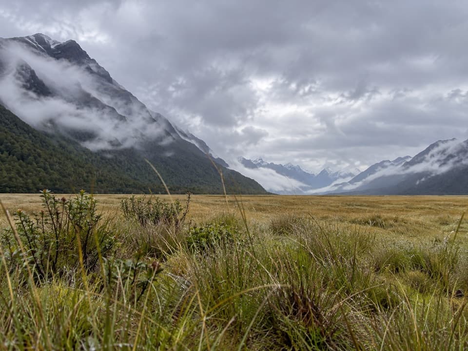
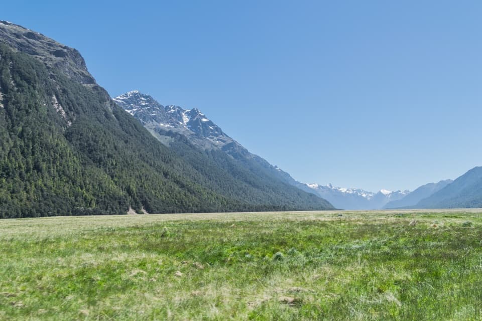
- An open valley floor framed by steep, beech-covered mountains.
Heads up
- A brief roadside stop that can crowd around tour buses.
Map
Where it is

The highest, rockiest slopes around here are a summer buffet for grizzly bears.
Fiordland Tour Guide
Your drive to Eglinton Valley Viewpoint, narrated.
Parkwolf is a GPS audio tour guide for Fiordland National Park. As you drive, it chimes in with what’s ahead: hidden gems, upcoming stops, history, geology, and wildlife, right through your car’s speakers.
See the Fiordland audio tourRecorded for this place
Eglinton Valley Viewpoint“You're nearing Eglinton Valley Viewpoint, where golden tussock spreads below steep, beech-covered mountains. Stop for five to ten minutes to take in the open flats and the shallow river running through them.”
Plays as you drive up to Eglinton Valley Viewpoint in the Parkwolf Fiordland Tour Guide.
More stories near here in the app
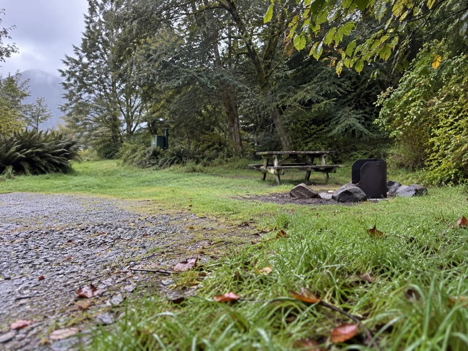
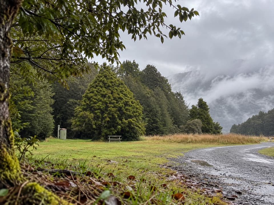
- Tōtara Campsite
- A Partnership on the Bark
- The Guide Who Vanished
- Mirror Lakes
- 112 audio storiesacross Fiordland’s roads, triggered by GPS as you drive
- Wildlife heatmapsfor Kea, Fiordland Penguin, Blue Duck, and 13 more
- Works offlinemaps, 77 trails, 102 places, and audio download before you lose signal
- CarPlay readysimple controls built for the drive
“Fantastic app with many points of information… It’s great to just turn on while you’re driving and it gives you an audio tour of the national Park. We love it!!!!”


Guide
More about Eglinton Valley Viewpoint
Stop for the valleyEglinton Valley Viewpoint is a roadside look-out on Milford Road (State Highway 94), one of the…
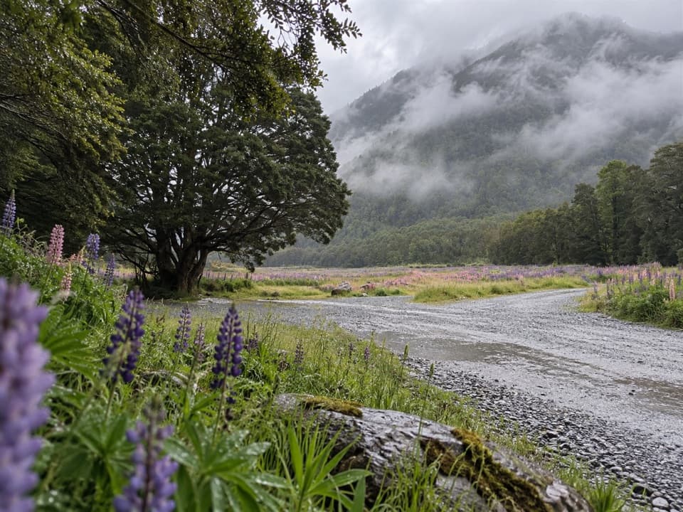
Eglinton Valley Viewpoint is a roadside look-out on Milford Road (State Highway 94), one of the few valleys in Fiordland you can reach directly by car. The broad, flat valley floor opens between steep, rocky, beech-covered mountains, with golden tussock and the shallow Eglinton River alongside the road. It makes an easy five-to-ten-minute break on the Te Anau–Milford drive. Some visitors treat it as an optional pause; coach groups and photo traffic can bunch up at the pull-offs.
The view from the roadThe contrast is the reason to stop: open grassland below dark forested slopes, with the…
The contrast is the reason to stop: open grassland below dark forested slopes, with the mountains closing in around the valley. For a photo, keep the tussock in the foreground and the beech-covered mountain wall behind it. Snow on the peaks adds definition when the weather clears, but cloud and mist can hide the high ridges.
A valley shaped by iceGlaciers ground the valley into a broad U-shape: a surprisingly level floor with steep sides of…
Glaciers ground the valley into a broad U-shape: a surprisingly level floor with steep sides of Fiordland rock. Look across the flats and the landform is easy to read, from the open grassland to the sharply rising mountain walls. The Eglinton River runs beside the highway through the valley.
Beech forest and conservationRed beech dominates where the road enters the valley, mixed with remnants of native grassland…
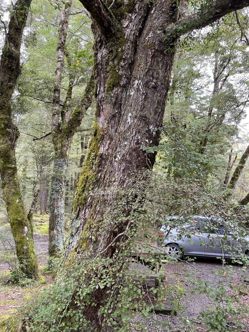
Red beech dominates where the road enters the valley, mixed with remnants of native grassland and wetlands. This is one of New Zealand’s few extensive lowland areas of mixed southern beech forest. Conservation work here protects threatened wildlife including mohua (yellowhead), kākā, kākāriki and both long- and short-tailed bats. They belong to the wider valley’s story; a roadside stop doesn’t guarantee a sighting.
Named for an earlThe valley and river were named for the British Earl of Eglinton after European explorers…
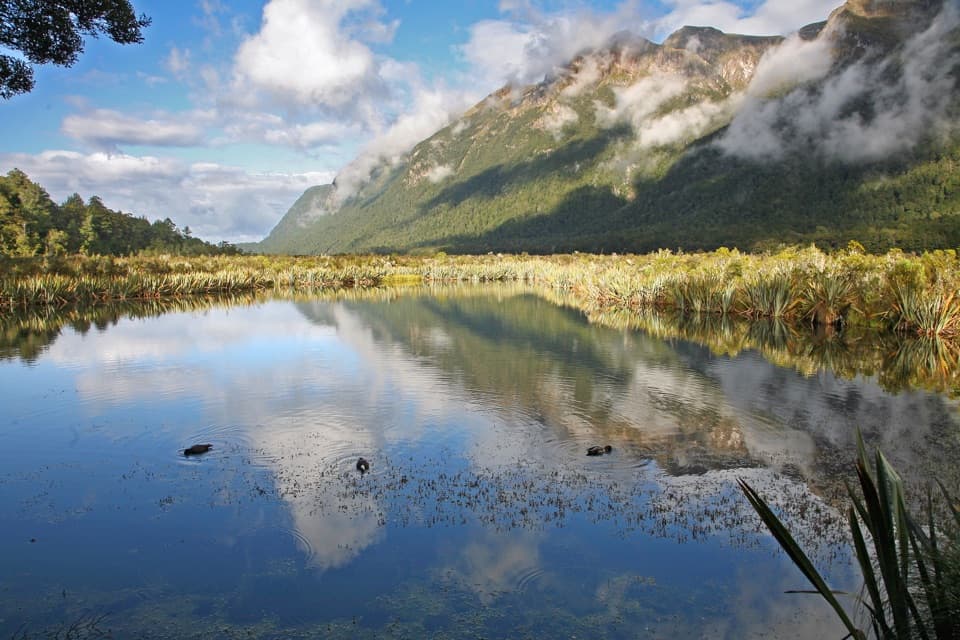
The valley and river were named for the British Earl of Eglinton after European explorers reached the area in 1861. The road was built through the valley in 1935, opening this scenery to visitors on the Milford route. Mirror Lakes and Knobs Flat are other named stops within the same broad valley, each a separate place to pull over.
Wildlife
Wildlife in Fiordland
 1,233 sightingsKeaMost seen around 10 AMSighting map
 214 sightingsFiordland PenguinMost seen around 7 PMSighting map
 233 sightingsBlue DuckMost seen around 5 PMSighting map
 32 sightingsBottlenose DolphinMost seen around 5 PMSighting map
 252 sightingsNew Zealand Fur SealMost seen around 6 PMSighting map
 69 sightingsKākāMost seen around 6 PMSighting map
Sighting maps show where each species has been reported across Fiordland. Wildlife moves, so no sighting is guaranteed.