Parking
The path starts from Te Anau–Milford Highway (SH 94), just beyond Mackay Creek Campsite. Dedicated walk parking was not verified.
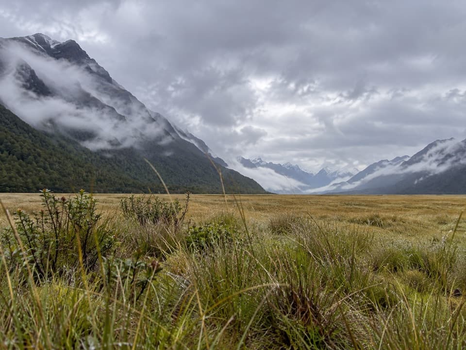
Fiordland National Park, SL
A quick valley stroll to a small ledge above Mackay Creek.
Overview
Map & elevation
Plan your hike

The highest, rockiest slopes around here are a summer buffet for grizzly bears.
Fiordland Tour Guide
Parkwolf is a GPS audio tour guide for Fiordland National Park. As you drive, it chimes in with what’s ahead: hidden gems, upcoming stops, history, geology, and wildlife, right through your car’s speakers.
See the Fiordland audio tourRecorded for this trailhead
Eglinton Valley Viewpoint“You're nearing Eglinton Valley Viewpoint, where golden tussock spreads below steep, beech-covered mountains. Stop for five to ten minutes to take in the open flats and the shallow river running through them.”
Plays as you drive up to this trailhead in the Parkwolf Fiordland Tour Guide.
More stories near here in the app
“Fantastic app with many points of information… It’s great to just turn on while you’re driving and it gives you an audio tour of the national Park. We love it!!!!”


Trail guide
Mackay Creek Walk is a short out-and-back from Te Anau–Milford Highway in Eglinton Valley. It follows a simple path to interpretation panels and a small ledge above Mackay Creek. The connected mapped route works out to about 0.25 mile (0.4 km) return and takes about 20 minutes. Short walk descriptions also give 300 m, so expect a brief stop whichever figure you use.
The payoff is a close look at the creek from a small ledge, with the open valley around you. This is a quick leg-stretch on a Milford Road drive, not a long hike; pause at the panels and take in the water before heading back the same way. Stay on the formed path near the ledge.
The path begins from SH 94 just beyond Mackay Creek Campsite. Dedicated trail parking was not verified, so identify a safe place to pull in before you stop. Dogs are not allowed in Fiordland National Park.
Wildlife
 1,233 sightingsKeaMost seen around 10 AMSighting map
 214 sightingsFiordland PenguinMost seen around 7 PMSighting map
 233 sightingsBlue DuckMost seen around 5 PMSighting map
 32 sightingsBottlenose DolphinMost seen around 5 PMSighting map
 252 sightingsNew Zealand Fur SealMost seen around 6 PMSighting map
 69 sightingsKākāMost seen around 6 PMSighting map
Sighting maps show where each species has been reported across Fiordland. Wildlife moves, so no sighting is guaranteed.
Keep exploring
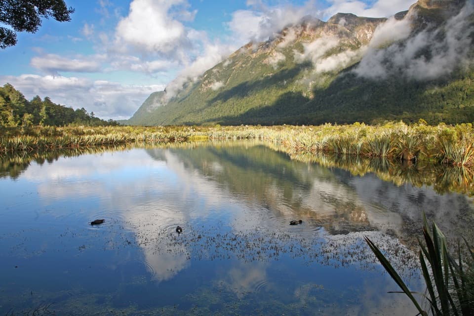 EasyMirror Lakes Walk0.4 km · 10 min · 4.1 km awayA quick boardwalk stop for Earl Mountains reflected in wetland lakes.
 ChallengingMilford Track53.5 km · 19.5 hr · 15.3 km awayFour days from Lake Te Anau to Milford Sound over McKinnon Pass.
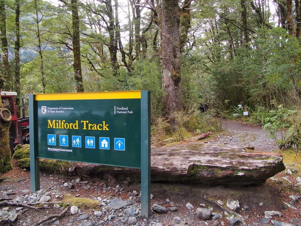 EasyMilford Track: Glade Wharf to Clinton Hut10 km · 2.5 hr · 15.3 km awayA gentle riverside beech walk to Milford Track’s first hut.
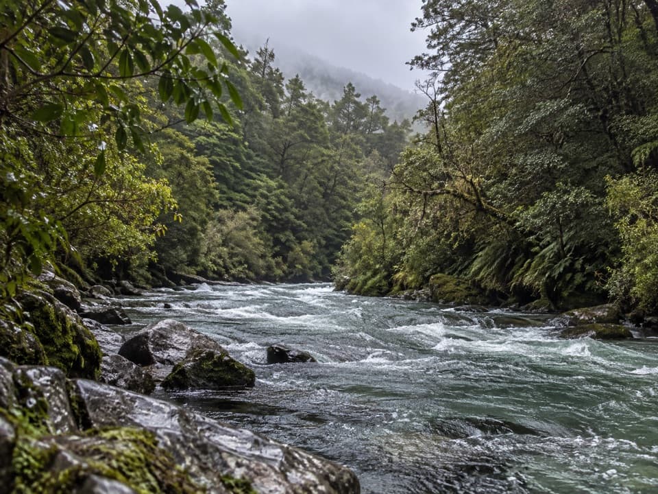 ChallengingHut Creek Track6.7 km · 6 hr · 17.1 km awayBeech forest gives way to open flats in Hut Creek’s upper valley
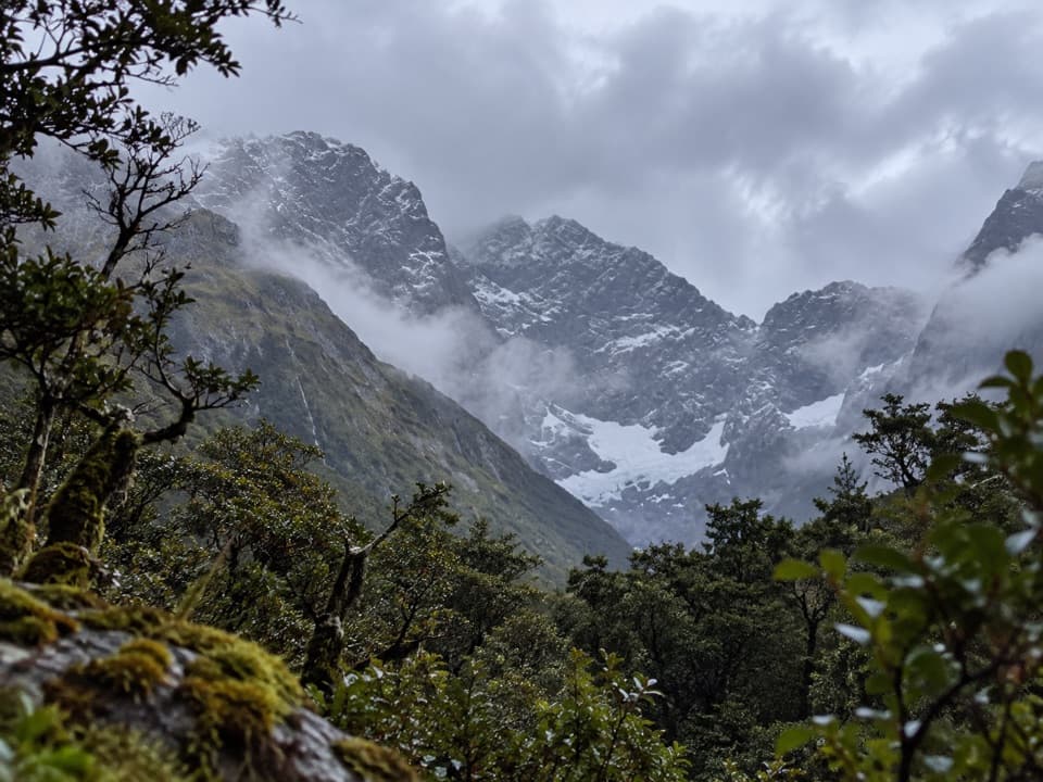 ChallengingMistake Creek Track11.3 km · 6.5 hr · 17.1 km awayA hard tramp into Mistake Creek's open valley flats.
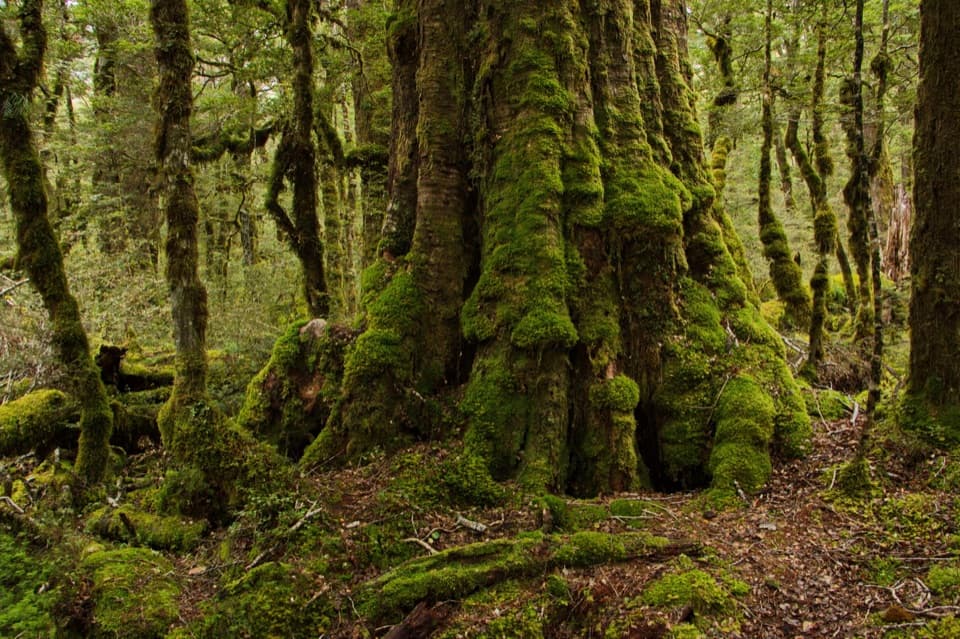 EasyLake Gunn Nature Walk1.4 km · 45 min · 19.9 km awayMossy beech forest, birds and a short beach detour
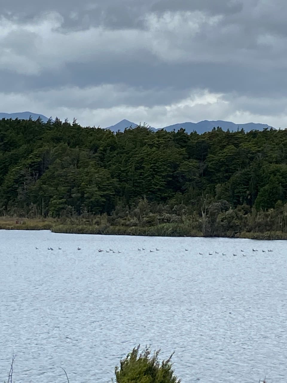 EasyLake Mistletoe Track1.3 km · 45 min · 20 km awayA short forest walk reaches a lake alive with scaup and frogs
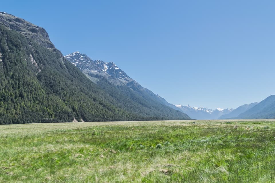 Sight · At the trailheadEglinton Valley ViewpointA quick pull-off for Milford Road’s wide, ice-carved valley.
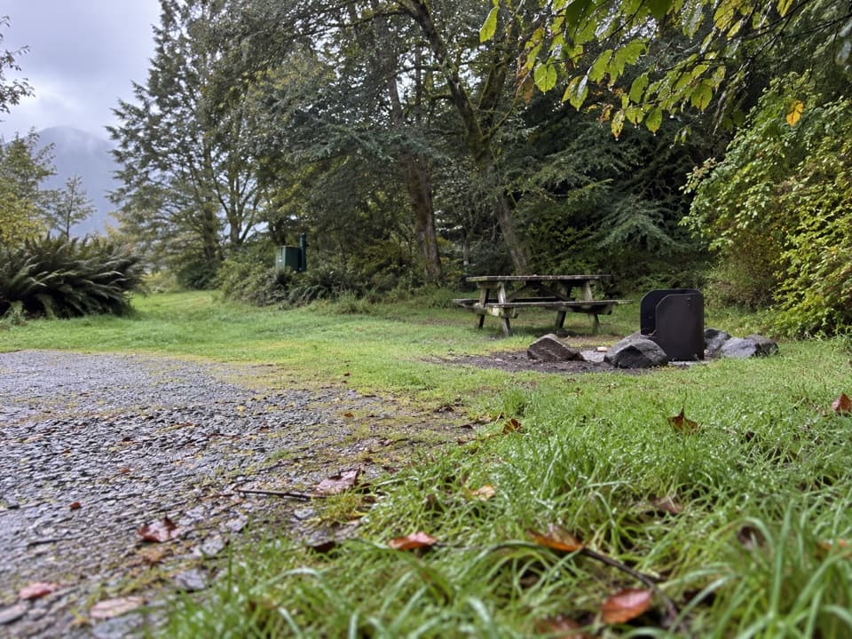 Campground · 0.4 km awayMackay Creek CampsiteA former Eglinton Valley camp; DOC now lists it as closed.
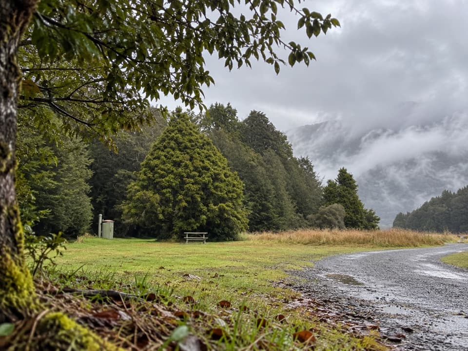 Campground · 1.8 km awayTōtara CampsiteA sheltered, simple camp for breaking the Milford Road drive.
 Sight · 4 km awayMirror LakesCatch the Earl Mountains reflected from a short lakeside boardwalk.
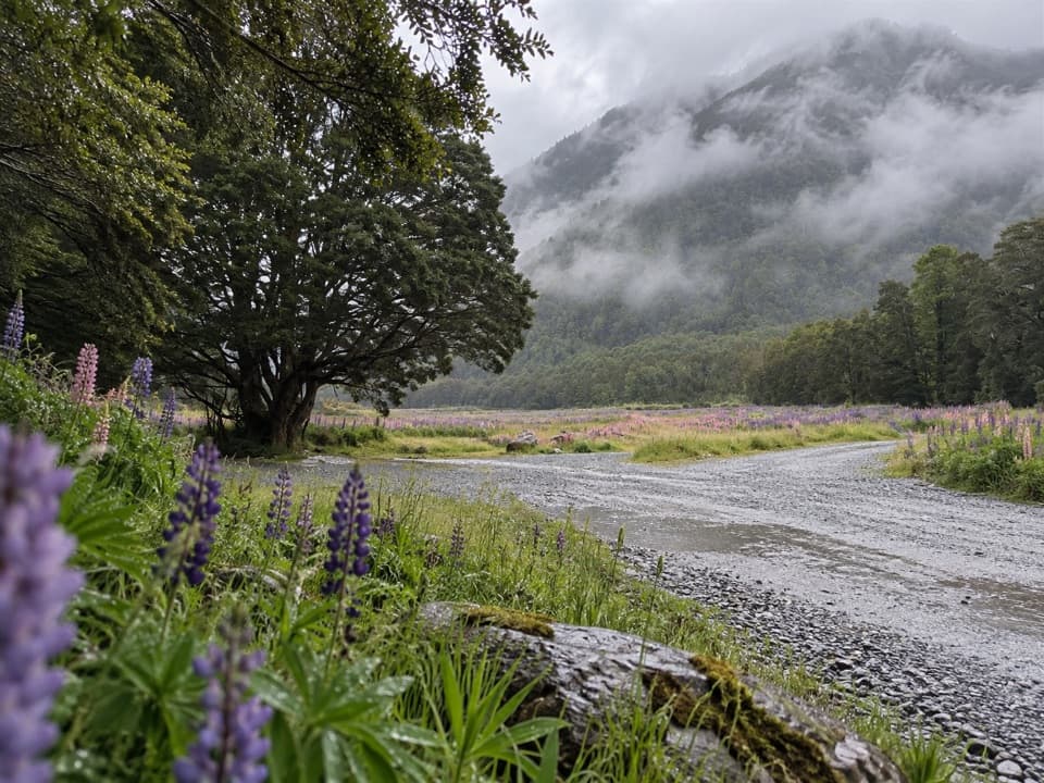 Campground · 4.8 km awayWalker Creek CampsiteA small riverside camp on Milford Road, sandflies included.
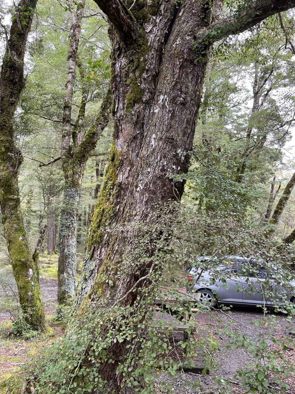 Campground · 7.1 km awayDeer Flat CampsiteA simple riverside night along the Milford Road.
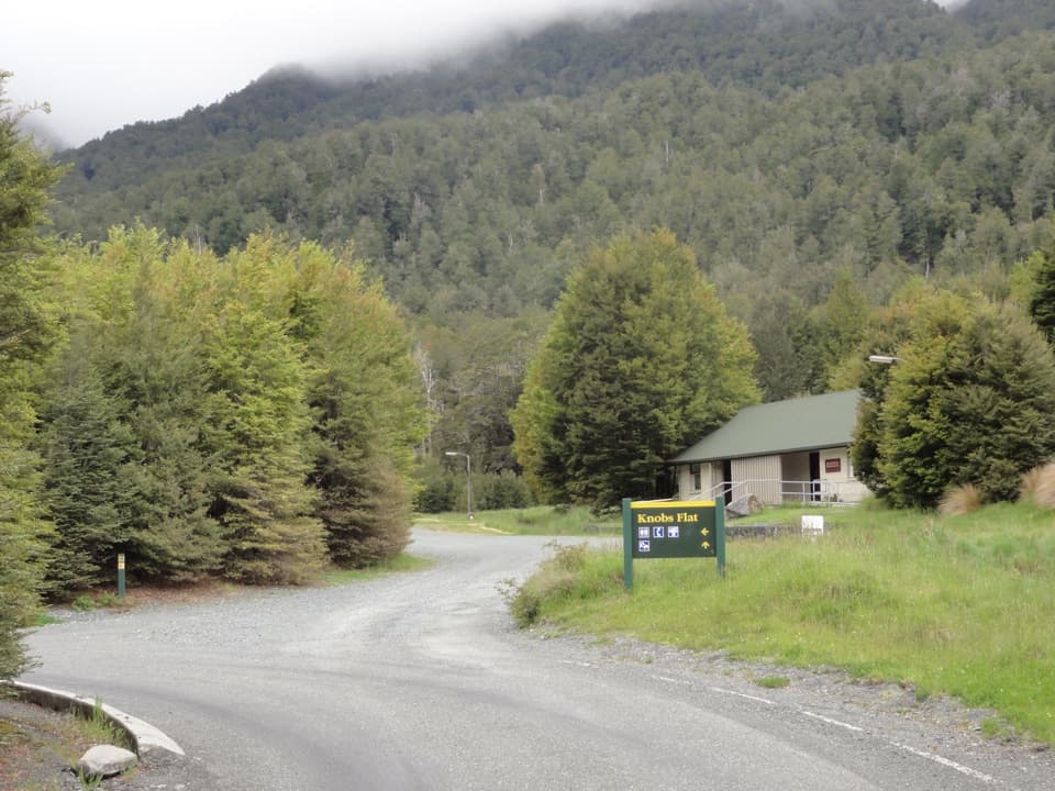 Restroom · 9.6 km awayKnobs FlatThe last flush toilets before Milford, with avalanche and wildlife panels.
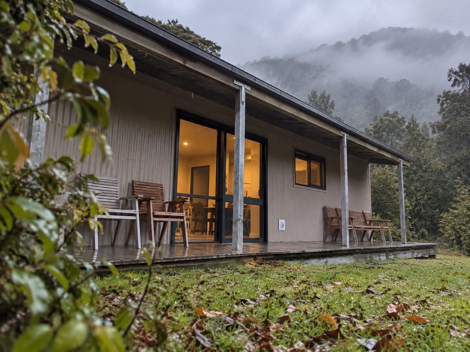 Campground · 9.7 km awayEglinton Valley CampA practical night between Te Anau and Milford Sound.
Parkwolf’s Fiordland ranking

The audio tour guide for the drive, plus offline maps, trails, and wildlife heatmaps for when the signal drops.




