Overview
About Port Craig School Hut and Historic Settlement
Why stop
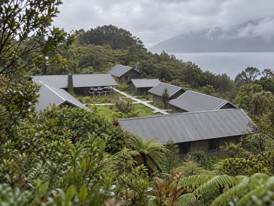
- The old schoolhouse still works as a hut beside the mill remains.
Heads up
- Getting here takes a remote, long-distance walk.
Map
Where it is

The highest, rockiest slopes around here are a summer buffet for grizzly bears.
Fiordland Tour Guide
Your drive to Port Craig School Hut and Historic Settlement, narrated.
Parkwolf is a GPS audio tour guide for Fiordland National Park. As you drive, it chimes in with what’s ahead: hidden gems, upcoming stops, history, geology, and wildlife, right through your car’s speakers.
See the Fiordland audio tour- 112 audio storiesacross Fiordland’s roads, triggered by GPS as you drive
- Wildlife heatmapsfor Kea, Fiordland Penguin, Blue Duck, and 13 more
- Works offlinemaps, 77 trails, 102 places, and audio download before you lose signal
- CarPlay readysimple controls built for the drive
“Fantastic app with many points of information… It’s great to just turn on while you’re driving and it gives you an audio tour of the national Park. We love it!!!!”


Guide
More about Port Craig School Hut and Historic Settlement
Stay in the schoolhousePort Craig School Hut is the only building left from the old sawmill settlement on Fiordland's…
Port Craig School Hut is the only building left from the old sawmill settlement on Fiordland's southern coast. It's now a serviced 20-bunk hut, reached on the South Coast Track or as a side visit from the Hump Ridge Track. From Rarakau, the South Coast approach is 20 km and about seven hours one way, so plan it as an overnight tramp, not a quick stop. Book the hut ahead. It has mattresses, heating and a non-flush toilet; the tap water is untreated and needs boiling. This is the School Hut, not the separate private Port Craig Lodge about 500 m away.
Walk around the mill siteA short self-guided walk follows interpretation panels around the settlement remains.
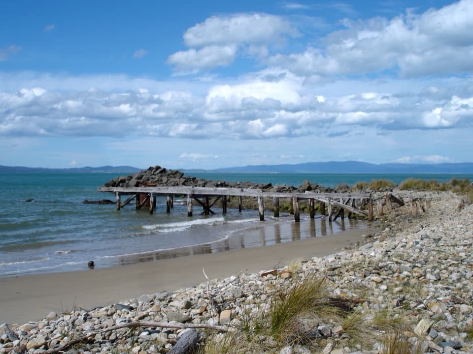
A short self-guided walk follows interpretation panels around the settlement remains. Look for the baker's oven, the first mill, a Lidgerwood hauler chassis, a Priestman wharf crane and old wharf piles along the beach. For a photo, frame the weathered wharf remains against the water; it ties the settlement’s logging history to the coast it depended on.
A busy place at the end of the coastThe Marlborough Timber Company recognized the area’s milling potential in 1916.
The Marlborough Timber Company recognized the area’s milling potential in 1916. At peak, more than 150 people worked at Port Craig, processing up to 1,800 cubic metres of timber a month. The settlement had a school, blacksmith, cookshop, bakehouse, wharf and worker accommodation; about 1,400 hectares of forest were logged. The mill closed in 1928 as timber demand fell.
The tramway and the landLogs travelled 14.
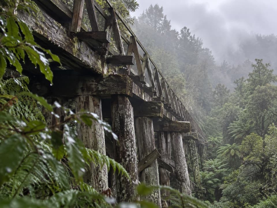
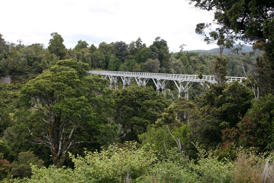
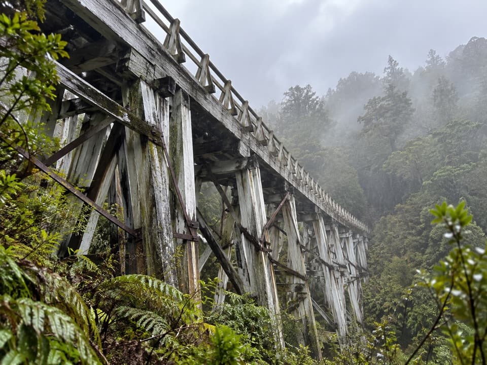
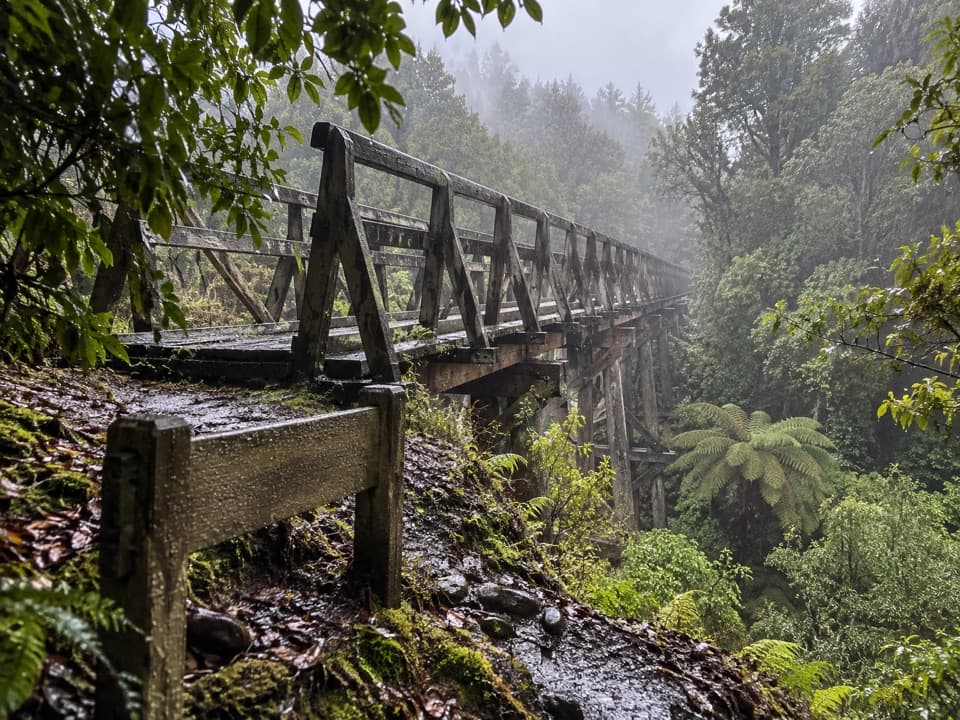
Logs travelled 14.6 km to the mill on a tramway from the Wairaurahiri River, crossing four viaducts over ravines. It replaced a pack track cut in 1896 to reach gold-mining settlements at Cromarty and Te Oneroa in Preservation Inlet. The mill logged mainly Māori land granted under the South Island Landless Natives Act 1906, by agreement with its owners. Its surviving machinery, wharf remains and tramway cuttings make the settlement unusually tangible.
Wildlife
Wildlife in Fiordland
 1,233 sightingsKeaMost seen around 10 AMSighting map
 214 sightingsFiordland PenguinMost seen around 7 PMSighting map
 233 sightingsBlue DuckMost seen around 5 PMSighting map
 32 sightingsBottlenose DolphinMost seen around 5 PMSighting map
 252 sightingsNew Zealand Fur SealMost seen around 6 PMSighting map
 69 sightingsKākāMost seen around 6 PMSighting map
Sighting maps show where each species has been reported across Fiordland. Wildlife moves, so no sighting is guaranteed.