Overview
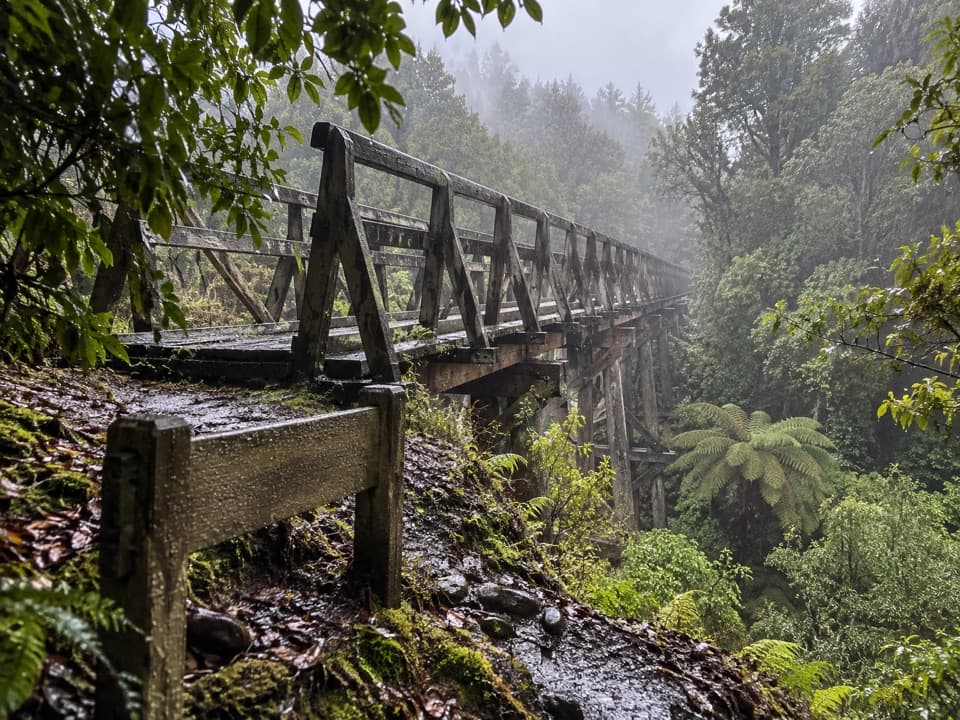
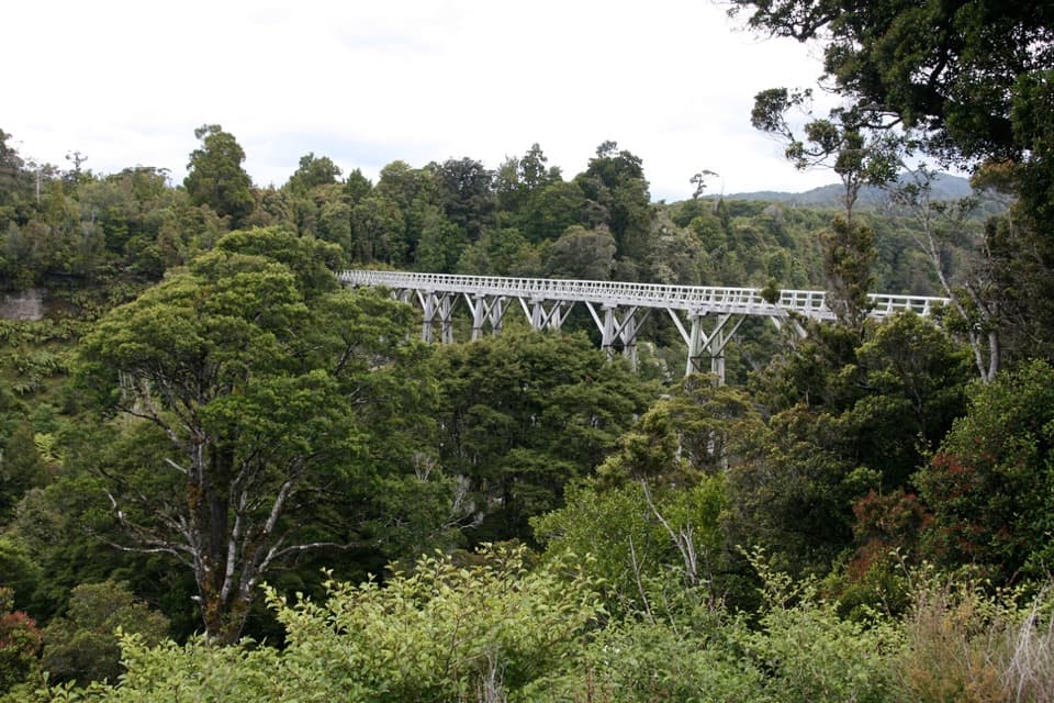
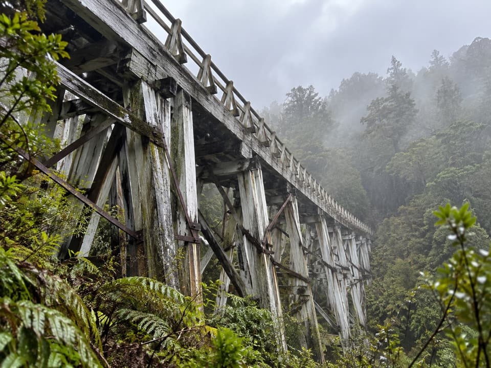
About Edwin Burn Viaduct
Why stop
- A direct link to Port Craig’s timber-milling history.
Heads up
- Reached on a remote, multi-day backcountry route.
Map
Where it is

The highest, rockiest slopes around here are a summer buffet for grizzly bears.
Fiordland Tour Guide
Your drive to Edwin Burn Viaduct, narrated.
Parkwolf is a GPS audio tour guide for Fiordland National Park. As you drive, it chimes in with what’s ahead: hidden gems, upcoming stops, history, geology, and wildlife, right through your car’s speakers.
See the Fiordland audio tour- 112 audio storiesacross Fiordland’s roads, triggered by GPS as you drive
- Wildlife heatmapsfor Kea, Fiordland Penguin, Blue Duck, and 13 more
- Works offlinemaps, 77 trails, 102 places, and audio download before you lose signal
- CarPlay readysimple controls built for the drive
“Fantastic app with many points of information… It’s great to just turn on while you’re driving and it gives you an audio tour of the national Park. We love it!!!!”


Guide
More about Edwin Burn Viaduct
The old tramway crossingEdwin Burn Viaduct is a 50-metre-long, 22-metre-high timber trestle built for the Port Craig…
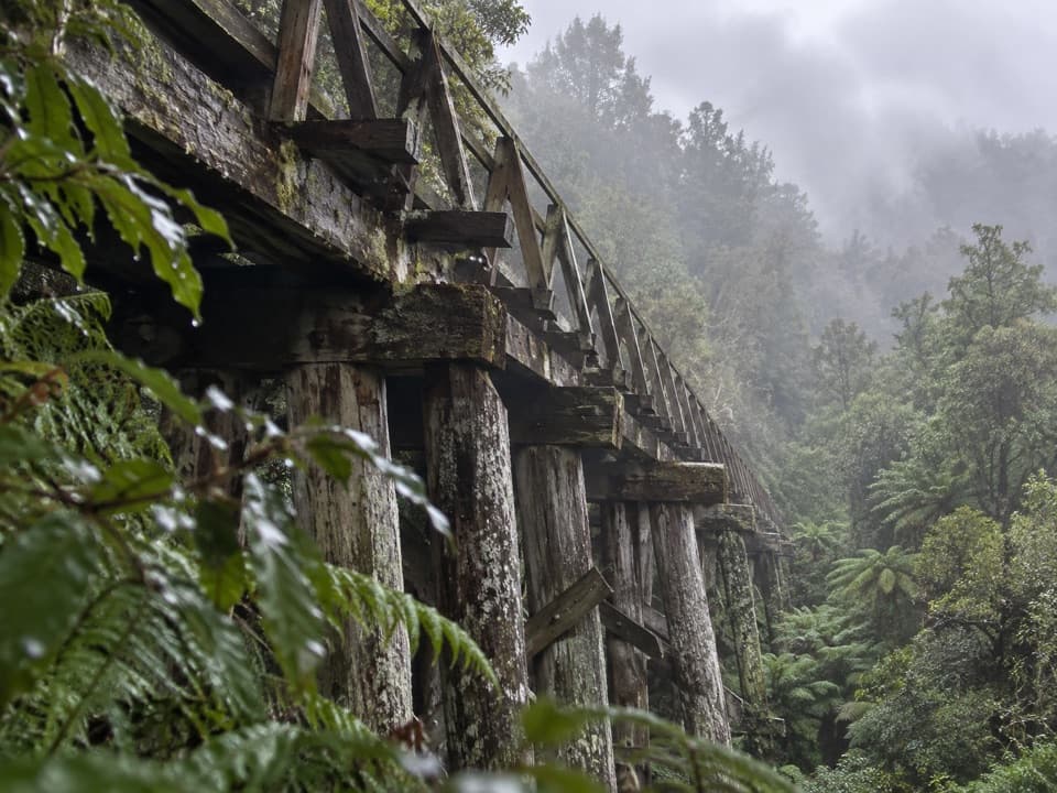
Edwin Burn Viaduct is a 50-metre-long, 22-metre-high timber trestle built for the Port Craig logging tramway. It stands in a remote stretch of southern Fiordland and is one of four historic spans tied to the old sawmill settlement. If you’re interested in how this coast was worked, it’s a worthwhile detail along the Hump Ridge walk.
Take the marked bypassThis isn’t a drive-up sight: it sits on the remote Hump Ridge Track, part of a multi-day…
This isn’t a drive-up sight: it sits on the remote Hump Ridge Track, part of a multi-day backcountry route. Walkers use the separate 58-metre swing bridge and marked bypass around Edwin Burn; treat the old viaduct as a heritage feature, not the route across the ravine. Don’t plan a separate visit around it.
Port Craig’s timber storyThe Port Craig mill began in 1921.
The Port Craig mill began in 1921. Nearly 25 kilometres of tramway and four viaducts were built to move timber from the isolated settlement to the coast. The span gives you a concrete sense of the infrastructure needed to get timber out of this remote part of Southland.
Wildlife
Wildlife in Fiordland
 1,233 sightingsKeaMost seen around 10 AMSighting map
 214 sightingsFiordland PenguinMost seen around 7 PMSighting map
 233 sightingsBlue DuckMost seen around 5 PMSighting map
 32 sightingsBottlenose DolphinMost seen around 5 PMSighting map
 252 sightingsNew Zealand Fur SealMost seen around 6 PMSighting map
 69 sightingsKākāMost seen around 6 PMSighting map
Sighting maps show where each species has been reported across Fiordland. Wildlife moves, so no sighting is guaranteed.