Overview
About Sandhill Viaduct
Why stop
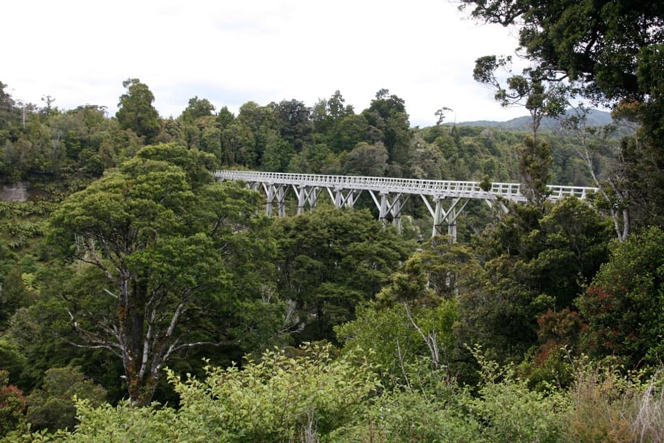
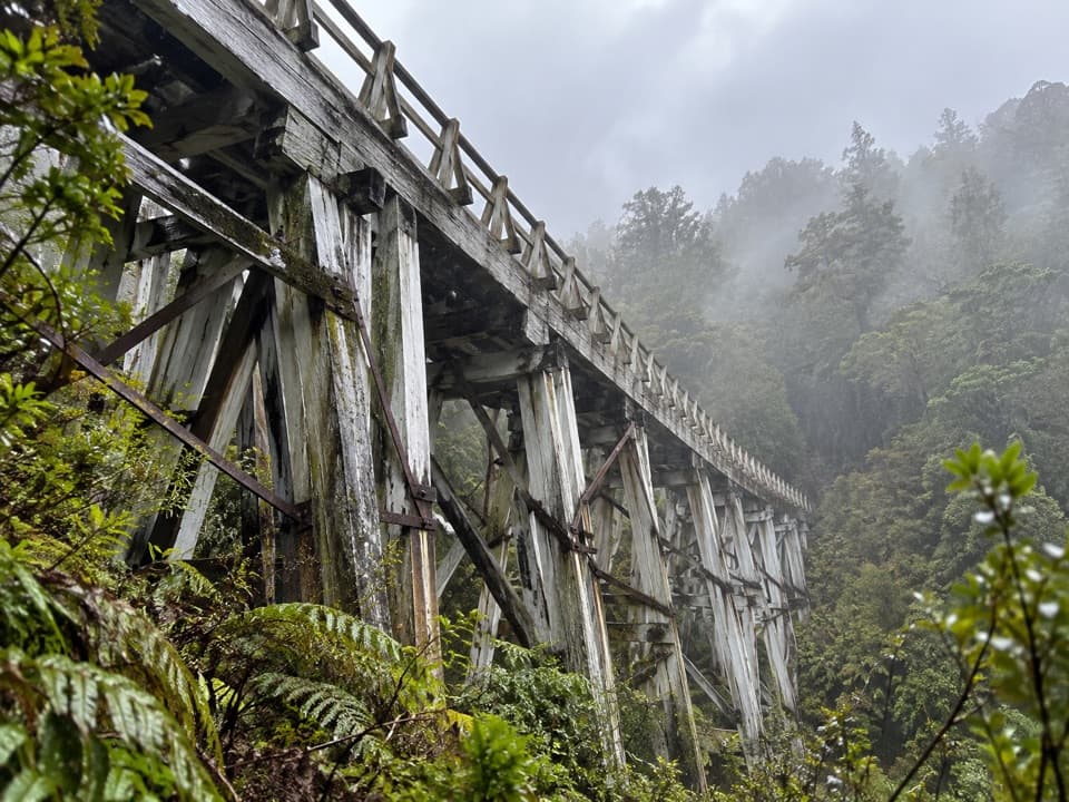
- A timber trestle that makes the old logging line easy to picture.
Heads up
- A two-hour walk from Port Craig on a remote tramping track.
Map
Where it is

The highest, rockiest slopes around here are a summer buffet for grizzly bears.
Fiordland Tour Guide
Your drive to Sandhill Viaduct, narrated.
Parkwolf is a GPS audio tour guide for Fiordland National Park. As you drive, it chimes in with what’s ahead: hidden gems, upcoming stops, history, geology, and wildlife, right through your car’s speakers.
See the Fiordland audio tour- 112 audio storiesacross Fiordland’s roads, triggered by GPS as you drive
- Wildlife heatmapsfor Kea, Fiordland Penguin, Blue Duck, and 13 more
- Works offlinemaps, 77 trails, 102 places, and audio download before you lose signal
- CarPlay readysimple controls built for the drive
“Fantastic app with many points of information… It’s great to just turn on while you’re driving and it gives you an audio tour of the national Park. We love it!!!!”


Guide
More about Sandhill Viaduct
Walk in to see the timberworkSandhill Viaduct is an old wooden logging bridge on the former Port Craig tramline, now part of…
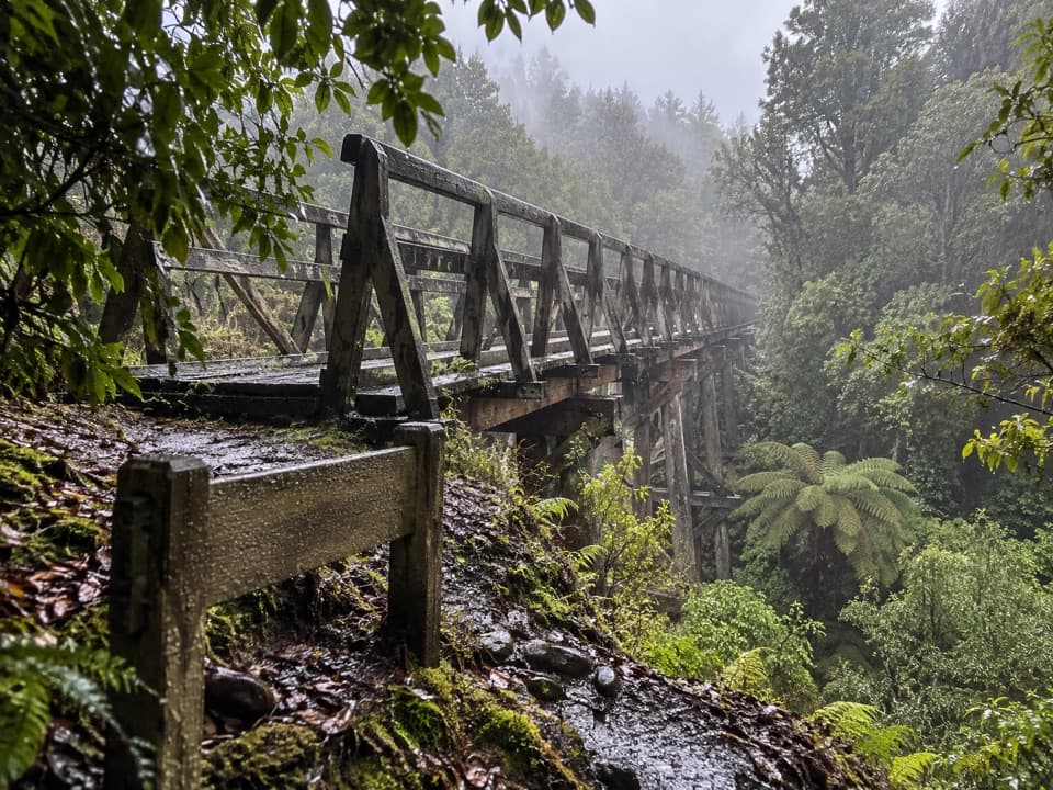
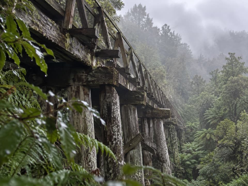
Sandhill Viaduct is an old wooden logging bridge on the former Port Craig tramline, now part of the South Coast Track through regenerating native forest. It is about two hours on foot from Port Craig, so treat it as a backcountry waypoint rather than a roadside stop. The deck and tall timber trestles make the old transport line tangible in the middle of the forest.
The Port Craig timber eraPort Craig’s mill began operating in 1921.
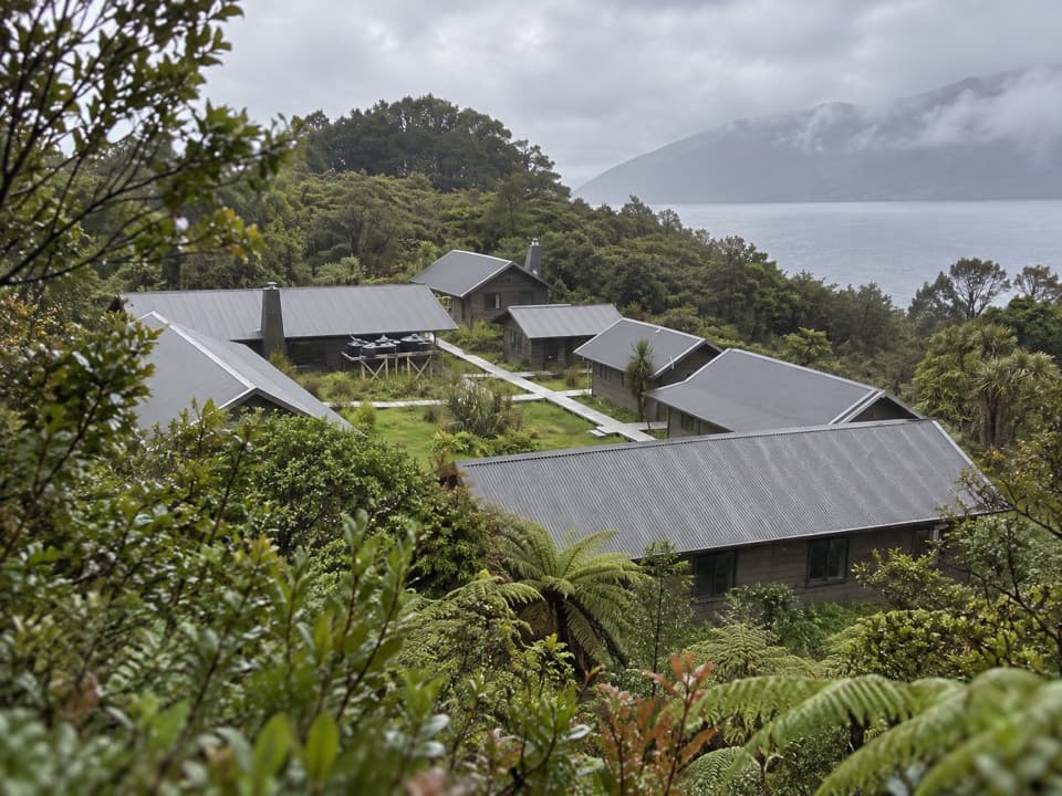
Port Craig’s mill began operating in 1921. Its remote settlement was connected by almost 25 km of logging tramways and four viaducts, and employed more than 150 workers; the settlement also had a company store, bakehouse, post office and schoolhouse. The mill closed in 1928 after the venture failed to make money. Sandhill is one surviving piece of that short-lived timber system.
Plan the walk, not just the stopThe South Coast Track can be muddy, with unbridged streams and coastal sections where tides…
The South Coast Track can be muddy, with unbridged streams and coastal sections where tides matter. DOC describes the country beyond Port Craig as a demanding tramp for people with good-to-above-average fitness and strong backcountry skills. Check current DOC route information before setting out. For a photo, include the angled timber supports and forest below the deck; that view shows the bridge’s height better than a flat shot of the planks.
Wildlife
Wildlife in Fiordland
 1,233 sightingsKeaMost seen around 10 AMSighting map
 214 sightingsFiordland PenguinMost seen around 7 PMSighting map
 233 sightingsBlue DuckMost seen around 5 PMSighting map
 32 sightingsBottlenose DolphinMost seen around 5 PMSighting map
 252 sightingsNew Zealand Fur SealMost seen around 6 PMSighting map
 69 sightingsKākāMost seen around 6 PMSighting map
Sighting maps show where each species has been reported across Fiordland. Wildlife moves, so no sighting is guaranteed.