Overview
About Wairaurahiri Hut
Why stop
- A riverbank overnight stop with bunks and heating.
Heads up
- Tap water is untreated and must be boiled.
Map
Where it is

The highest, rockiest slopes around here are a summer buffet for grizzly bears.
Fiordland Tour Guide
Your drive to Wairaurahiri Hut, narrated.
Parkwolf is a GPS audio tour guide for Fiordland National Park. As you drive, it chimes in with what’s ahead: hidden gems, upcoming stops, history, geology, and wildlife, right through your car’s speakers.
See the Fiordland audio tour- 112 audio storiesacross Fiordland’s roads, triggered by GPS as you drive
- Wildlife heatmapsfor Kea, Fiordland Penguin, Blue Duck, and 13 more
- Works offlinemaps, 77 trails, 102 places, and audio download before you lose signal
- CarPlay readysimple controls built for the drive
“Fantastic app with many points of information… It’s great to just turn on while you’re driving and it gives you an audio tour of the national Park. We love it!!!!”


Guide
More about Wairaurahiri Hut
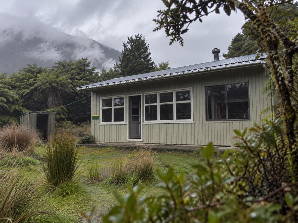
A remote riverbank overnight stopWairaurahiri Hut is a standard 13-bunk backcountry hut in a clearing beside the Wairaurahiri…
Wairaurahiri Hut is a standard 13-bunk backcountry hut in a clearing beside the Wairaurahiri River. It is a stop on the South Coast Track, reached on foot rather than a short roadside visit. From Port Craig School Hut, the route is 16 km and about six hours; from Waitutu Hut, the next leg is 13 km and about six hours. Beyond Port Craig, expect a remote route that needs good to above-average fitness and backcountry skills, including navigation and survival experience.
A simple hut for the nightThe hut has 13 bunks, mattresses and heating, plus a non-flush toilet.
The hut has 13 bunks, mattresses and heating, plus a non-flush toilet. Tap water is untreated and must be boiled before drinking. Bunks are first come, first served, with no booking required; plan to bring your own food.
From tramline to river clearingThe approach from Port Craig follows about 15 km of an old logging tramline through…
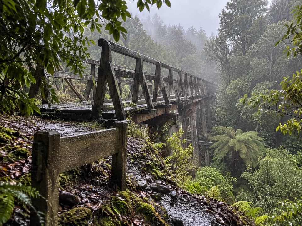
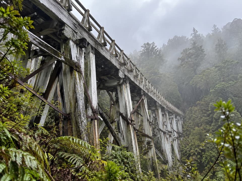
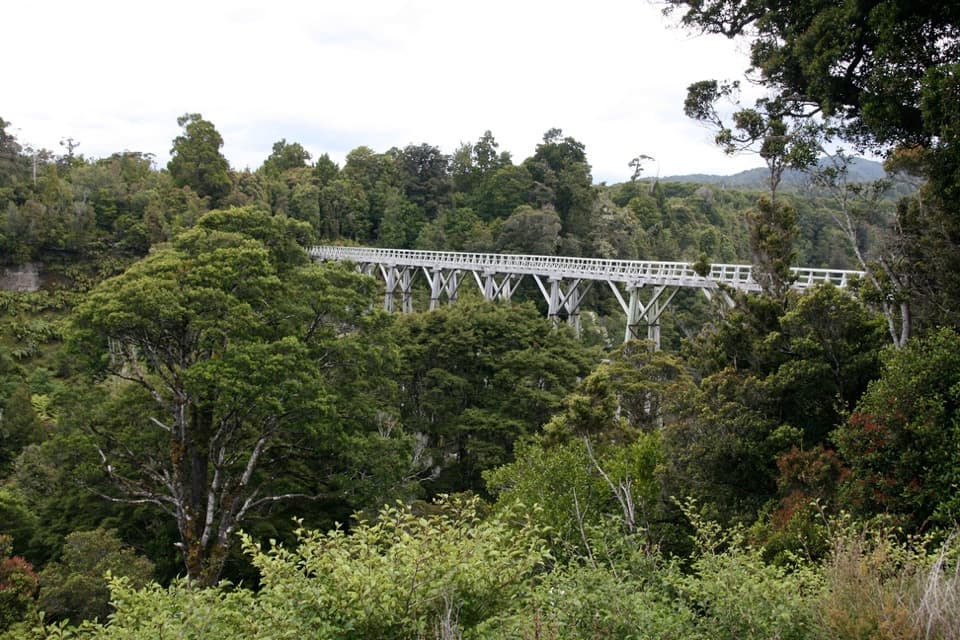
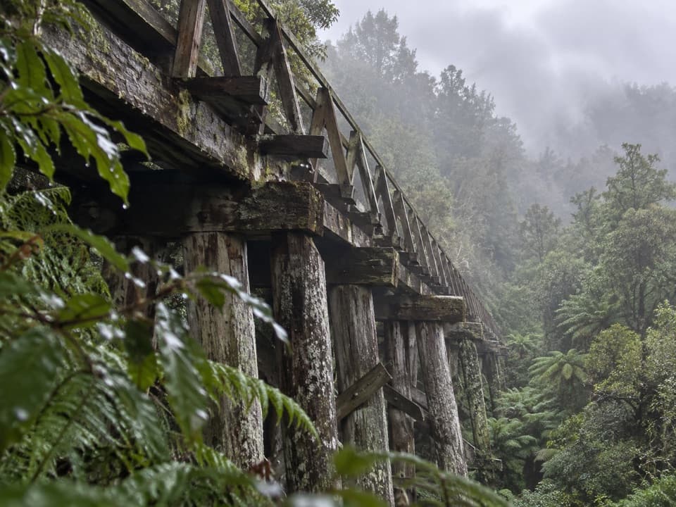
The approach from Port Craig follows about 15 km of an old logging tramline through regenerating native forest. It then enters mature bush and descends through three river terraces to the clearing. The old line is a reminder of the area's timber-milling past. A bridge beside the hut crosses the Wairaurahiri River on the onward route toward Waitutu.
Wildlife
Wildlife in Fiordland
 1,233 sightingsKeaMost seen around 10 AMSighting map
 214 sightingsFiordland PenguinMost seen around 7 PMSighting map
 233 sightingsBlue DuckMost seen around 5 PMSighting map
 32 sightingsBottlenose DolphinMost seen around 5 PMSighting map
 252 sightingsNew Zealand Fur SealMost seen around 6 PMSighting map
 69 sightingsKākāMost seen around 6 PMSighting map
Sighting maps show where each species has been reported across Fiordland. Wildlife moves, so no sighting is guaranteed.