Pros & cons
PROS
- Waterfall is right beside the track—expect thrilling spray on a wet day
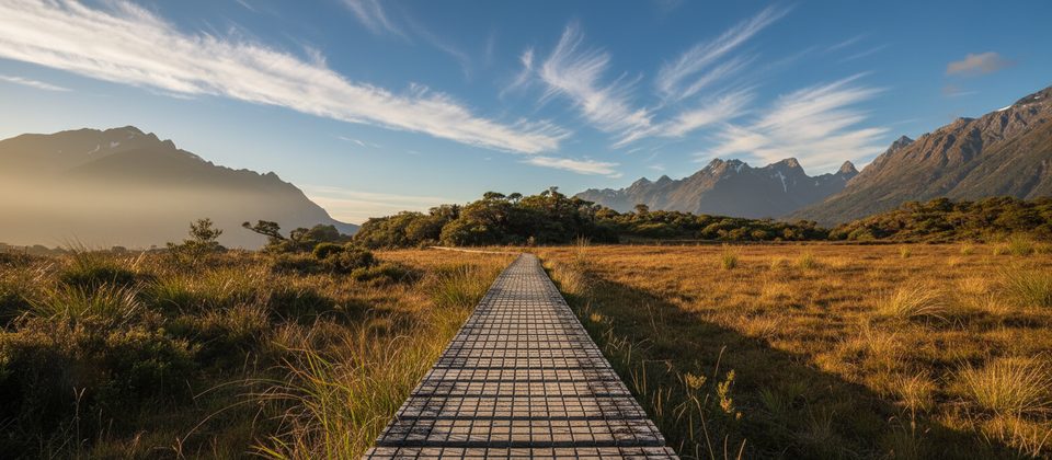
- Great Walk standard bridges and boardwalks keep messy sections manageable
CONS
- Forest cover limits big alpine views unless you add Key Summit
- Spray and high flow can soak the track at the falls; occasional detour needed
- Very popular section; The Divide car park fills in peak season
Park at The Divide car park on Milford Road (SH94); arrive early in peak season. Toilets at the trailhead.
Fiordland rain is frequent—expect mud and slick roots. Spray and flood at Earland Falls can drench the track; use the detour if signed. Sandflies near water.
Why hike it
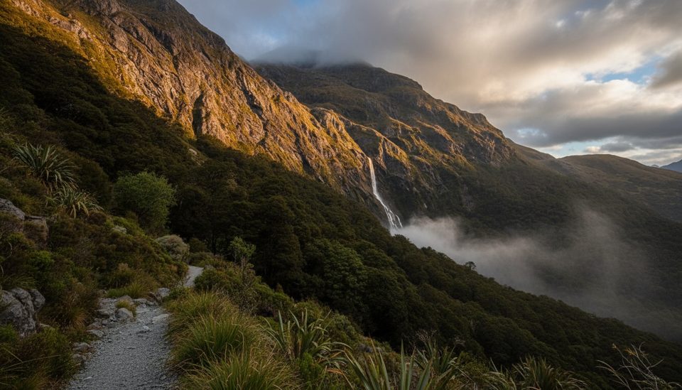
If you want a classic Fiordland day walk without committing to the full multi‑day Routeburn, this out‑and‑back to Earland Falls delivers: mossy beech forest, occasional peeks into the Hollyford Valley, and a 174 m curtain of water you can feel in your bones. It’s moderate, well built, and quintessentially wet—in the best way.
The route and experience
Start at The Divide car park on Milford Road (SH94) and follow the Routeburn Track toward Lake Mackenzie. The track climbs steadily on a well‑formed surface with roots, rock, and some boardwalks/bridges over boggy sections and streams. Expect mostly enclosed, lush forest with tree ferns and draping lichens; big alpine views are limited on this section unless you add the optional Key Summit spur near the start. Turnaround is at Earland Falls, where the trail passes close enough to feel the spray. After heavy rain, the base can flood—use the signed detour if in place.
Plan on roughly 9.3 miles/15 km total (out and back) from The Divide, taking most hikers about 6 hours with photo and snack stops. The track standard is high, but frequent rain means mud and slick footing—waterproof footwear pays off.
What you'll see
- Lush Fiordland forest and lively streams en route
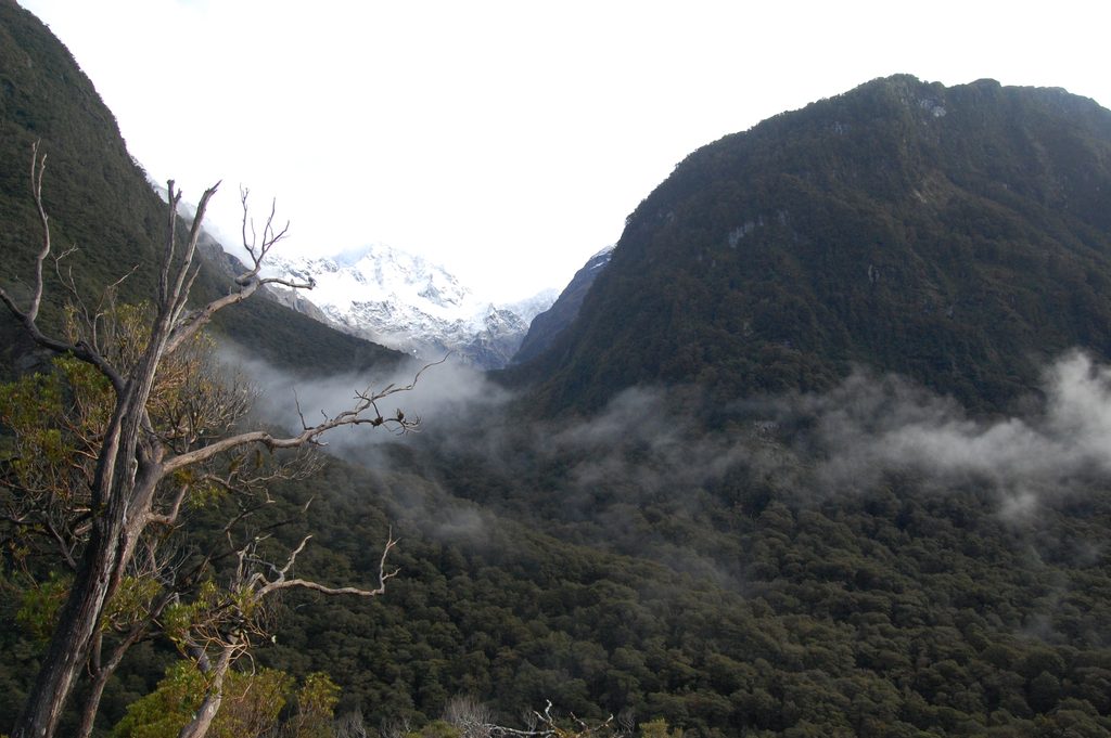
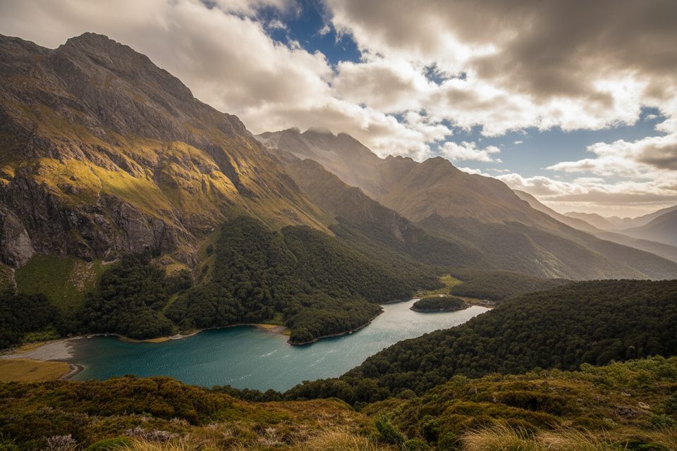
- Intermittent views across the Hollyford Valley and Darran Mountains
- Earland Falls: a towering, concave cascade (you can’t see the absolute top from the track), often roaring after rain
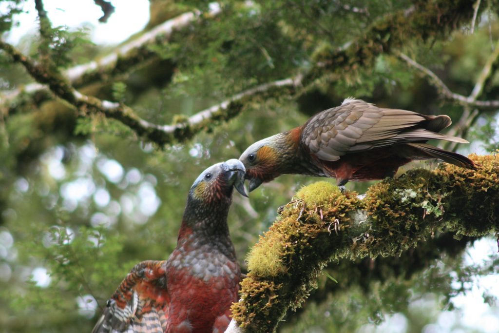
- Native birds—keep an eye out for friendly robins, flitting fantails, and cheeky kea
Tips and options
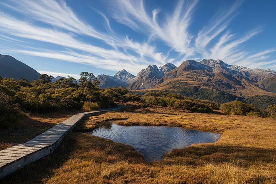
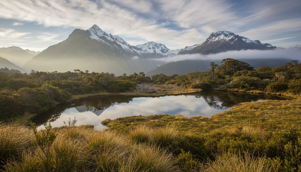
- Optional side trip: Key Summit (near the start) for panoramic alpine views; budget about 1.5 hours return if you add it.
- Start early in peak season; The Divide car park fills quickly and the track gets busy.
- No permit needed for day hiking; bookings only apply if you’re staying in Routeburn huts/campsites. Dogs are not permitted.
Best time to hike
- Summer (Dec–Mar): longest days, full facilities, busiest crowds.
- Spring/Autumn: fewer people, changeable weather, and the waterfall often at its most dramatic after rain.
- Winter: possible but expect snow/ice hazards and limited facilities; only for prepared hikers.
Bottom line
Come for the forest atmosphere and the waterfall experience more than big‑sky vistas. If you want panoramas, add Key Summit; if you want Fiordland’s moody, mossy magic capped by a thunderous falls, this section of the Routeburn is a winner.
Elevation
9.3 mi · 6 hrWhere it starts
-44.8249, 168.1170Wildlife on this trail
Near Earland Falls via Routeburn Track
All places →All trails →
0 mi awayRouteburn TrackA classic 20 mile alpine traverse with huts, lakes, and big views.Challenging · 20 mi · 24 hr
0 mi awayRouteburn Track to Lake MackenzieRainforest to alpine, finishing at a glassy blue lakeModerate · 7.5 mi · 4.5 hr
0 mi awayRouteburn Track to Earland FallsA Great Walk sampler to a 174 m waterfall that roars after rainModerate · 9.6 mi · 5.5 hr
0 mi awayLake Howden TrackMossy beech-forest ramble from The Divide to a quiet lakeshore.Easy · 5.6 mi · 3 hr
0 mi awayThe DivideBusy gateway to Routeburn and Key Summit with shelter and toiletsTrailhead · Restroom
0.8 mi awayKey Summit Lookout360-degree alpine views and tarns via a short Routeburn side tripScenic Viewpoint · Exhibit
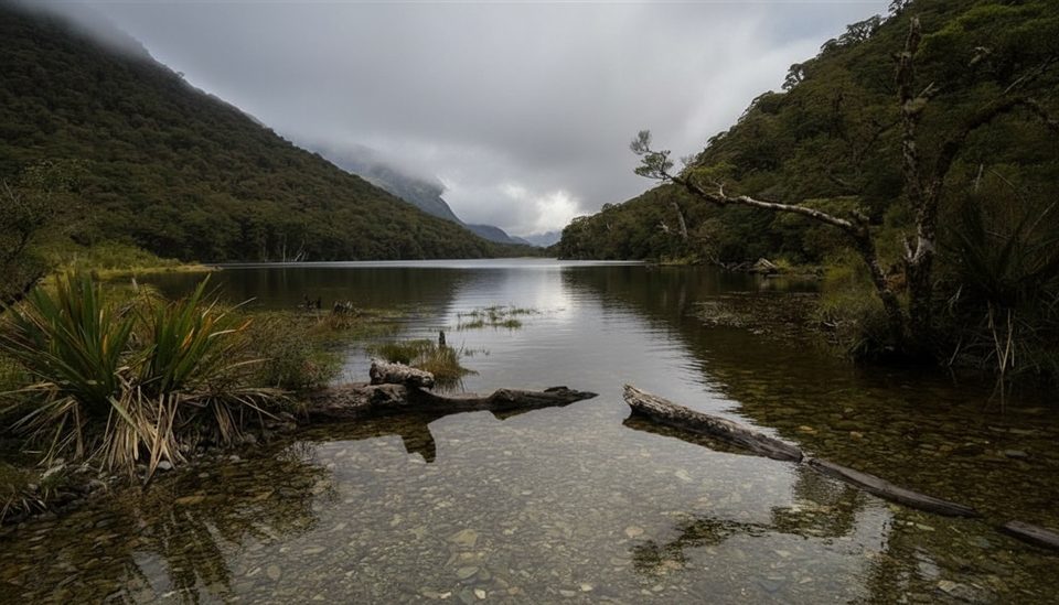
1 mi awayLake HowdenQuiet forest lake at a famous track junction
1.2 mi awayPop's View LookoutQuick pull-off with big Hollyford Valley views and cheeky keaPullout · Parking