Best time to visit
Clear days make all the difference for Key Summit’s views. In summer and on fine days, arrive early to snag parking and to get ahead of tour buses. Weather turns fast here—bring layers and rain protection year-round.

Trailhead · Fiordland National Park
Busy gateway to Routeburn and Key Summit with shelter and toilets
Overview
Sitting at 532 m on the Milford Road, The Divide is the lowest east–west crossing of the Southern Alps—and the launch pad for some of Fiordland’s best walks. It’s not a destination on its own, but as a hub it’s unbeatable: you step out of the car or bus and straight into lush beech forest and subalpine country.
This is the western trailhead for the Routeburn Track (a Great Walk) and the start of the Key Summit Track, a beloved short hike with big-mountain views. Few places in the park pack this much access into a simple roadside stop.
 Parkwolf’s verdictWhy it’s special
Map
Local know-how
Arrive early on clear or summer days to get a parking spot.
Prebook transport if you’re hiking the Routeburn one-way.
Bring rain gear and warm layers—the weather shifts quickly.
Water at the shelter is untreated; carry or treat your own.
Key Summit is most rewarding in good visibility.
Plan your stop

The highest, rockiest slopes around here are a summer buffet for grizzly bears.
Fiordland Tour Guide
Parkwolf is a GPS audio tour guide for Fiordland National Park. As you drive, it chimes in with what’s ahead: hidden gems, upcoming stops, history, geology, and wildlife, right through your car’s speakers.
See the Fiordland audio tourRecorded for this place
The Divide: Gateway to the Routeburn and Key Summit“You're approaching The Divide, which isn't so much an overlook as it is the gateway to some of Fiordland's most famous trails.”
Plays as you drive up to The Divide in the Parkwolf Fiordland Tour Guide.
More stories near here in the app
“Fantastic app with many points of information… It’s great to just turn on while you’re driving and it gives you an audio tour of the national Park. We love it!!!!”


Guide
Right from the trailhead you’re in mature beech forest alive with tomtits, robins, kererū, and bellbirds. Climb a little and you’ll meet subalpine shrubs, wetlands, and alpine insects—classic Fiordland diversity in a compact package.
Glaciers from the last ice age carved the surrounding valleys (Hollyford, Eglinton, Greenstone), leaving the dramatic U-shaped scenery you’ll gaze into from above the bushline. The pass itself is a natural low notch across the range—hence the name.
Wildlife
 1,181 sightingsKeaMost seen around 10 AMSighting map
 199 sightingsFiordland PenguinMost seen around 7 PMSighting map
 228 sightingsBlue DuckMost seen around 5 PMSighting map
 32 sightingsBottlenose DolphinMost seen around 5 PMSighting map
 247 sightingsNew Zealand Fur SealMost seen around 6 PMSighting map
 58 sightingsKākāMost seen around 6 PMSighting map
Sighting maps show where each species has been reported across Fiordland. Wildlife moves, so no sighting is guaranteed.
Keep exploring
 ChallengingRouteburn Track33 km · 14 hr · At the trailheadA 20.5-mile alpine point-to-point Great Walk from The Divide to Routeburn Shelter
 ModerateRouteburn Track to Lake Mackenzie11.3 km · 5.5 hr · At the trailheadBeech forest, Earland Falls, and a glassy alpine lake
 ModerateRouteburn Track to Earland Falls13.4 km · 6 hr · At the trailheadA full-day walk to Fiordland's 174 m waterfall
 EasyLake Howden Track6.8 km · 3 hr · At the trailheadA short beech-forest walk from The Divide to Lake Howden.
 ModerateCaples Track33.5 km · 15 hr · At the trailheadPoint-to-point tramp through the Caples valley to The Divide Shelter
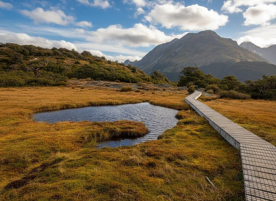 ModerateKey Summit Track6.9 km · 3 hr · At the trailheadA short alpine climb to tarns and Fiordland-wide views
 EasyPop's View Lookout Walk0.2 km · 15 min · 1.9 km awayRoadside panorama over the Hollyford Valley with kea and a memorial
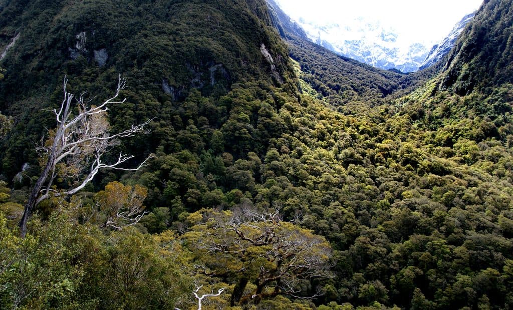 ChallengingLake Marian Track6.3 km · 3 hr · 2.2 km awayShort, rough climb to a mirror-still alpine lake in a hanging valley
 Sight · 1.3 km awayKey Summit Lookout360-degree alpine views and tarns via a short Routeburn side trip
 Sight · 1.6 km awayLake HowdenQuiet forest lake at a famous track junction
 Scenic pullout · 1.9 km awayPop's View LookoutQuick pull-off with big Hollyford Valley views and cheeky kea
 Sight · 2.3 km awayLake FergusQuiet roadside lake with mirror reflections in the Eglinton Valley
 Sight · 2.5 km awayMarian CascadeQuick, roaring cascades a short stroll from the Lake Marian track
 Sight · 3.4 km awayLake Marian LookoutShort walk to a gantry over thundering Marian Falls
 Sight · 4 km awayEarland Falls174 m Routeburn waterfall that drenches the track after rain
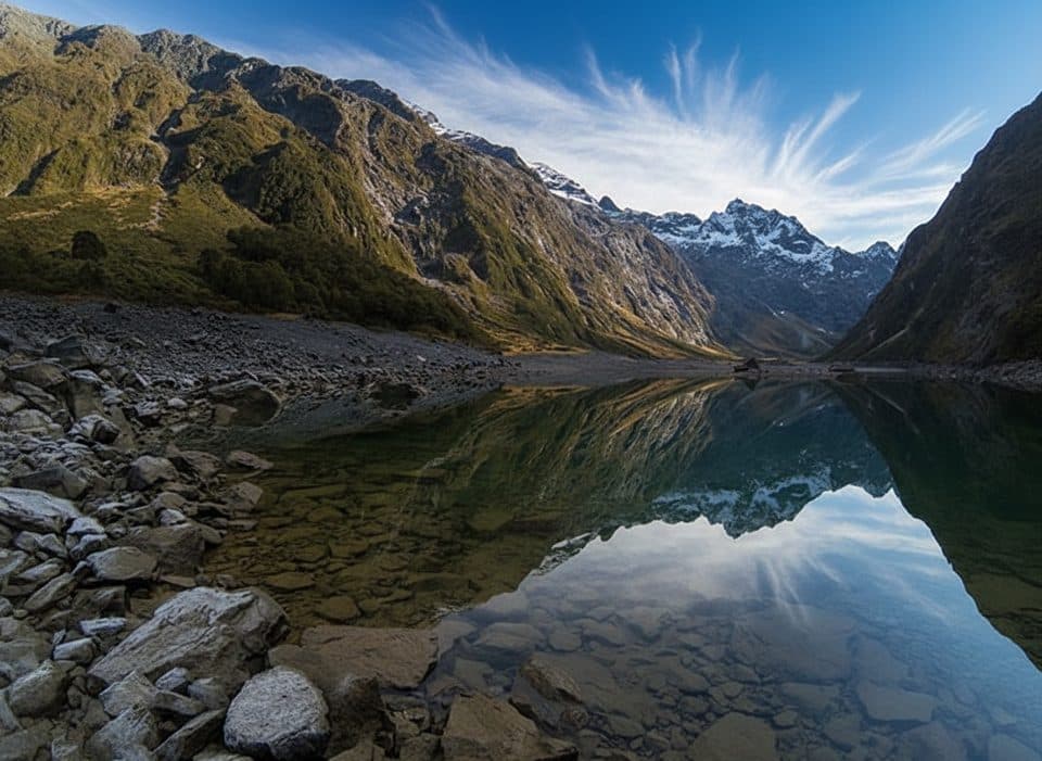
 Sight · 5.4 km awayHinepipiwai / Lake MarianMirror-still alpine lake in a dramatic hanging valley
Parkwolf’s Fiordland ranking
The audio tour guide for the drive, plus offline maps, trails, and wildlife heatmaps for when the signal drops.