Pros & cons
PROS
- Big 360-degree alpine views with a short boardwalk loop at the top
- Well-graded half-day hike off the Routeburn with interpretive signs and tarns
CONS
- Totally weather-dependent—cloud can erase the views
- Gets busy on clear summer days
Why go
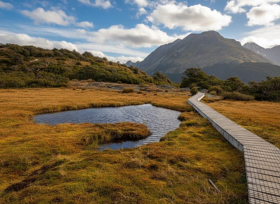
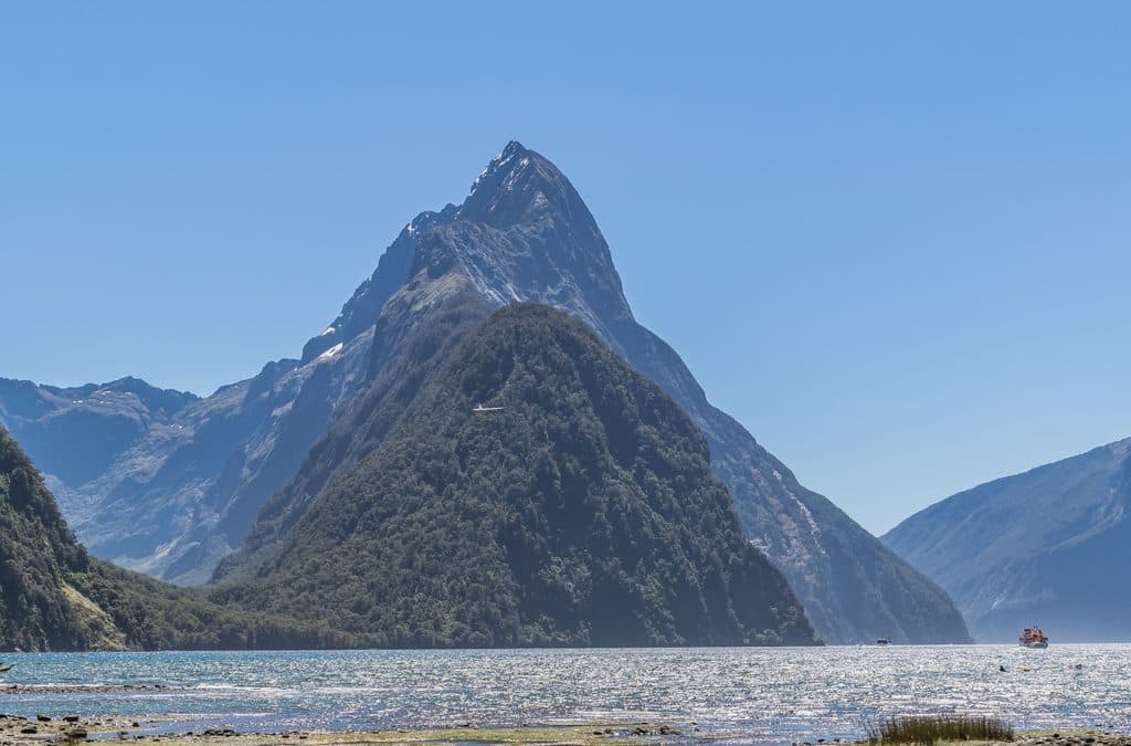
If you want Fiordland’s high-alpine drama without an all-day epic, Key Summit delivers. It’s a side trip off the Routeburn Track that climbs steadily from The Divide through beech forest to an open summit of wetlands, tussock, and tarns. On a clear day you’ll get sweeping views over the Hollyford, Eglinton, and Greenstone valleys framed by jagged, often snow-dusted peaks.
The walk and what you’ll see
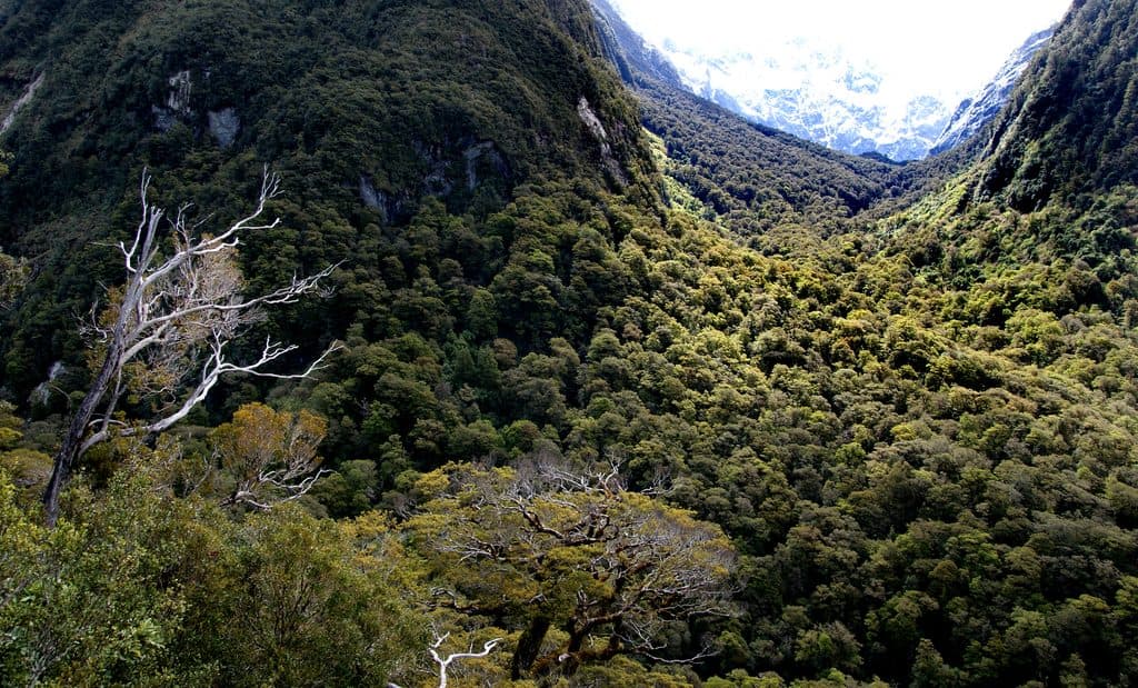
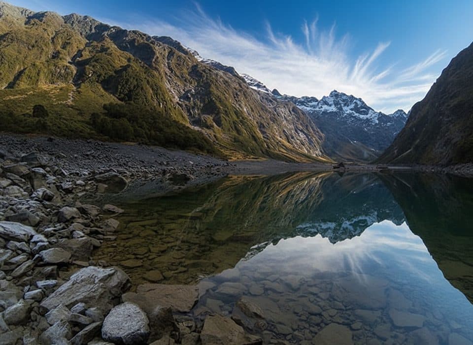
Expect 7–8.2 km return, about 3–4 hours, with roughly 400–450 m of elevation gain from The Divide carpark on Milford Road. The track is well formed and never technical: mossy forest first, then subalpine shrubs and boardwalks across fragile bogs. At the top there’s a short nature trail with interpretive signs and shallow alpine tarns that mirror the mountains when conditions are calm and unfrozen. Views are genuinely 360° on a bluebird day.
Wildlife
Listen for tomtits, robins, bellbirds, and the heavy wingbeat of kererū in the lower forest. Birdlife thins as you reach the exposed alpine, but the soundtrack on the way up is classic Fiordland.
Reality check
This lookout is spectacular but unforgiving of bad weather. Low cloud, wind, or clag can wipe out the views entirely, and the summit feels much colder than the carpark. In winter, expect snow/ice near the top. Crowds spike on clear summer weekends—still worth it, just start early.
Practicalities
There are boardwalks at the summit to protect the delicate alpine wetland—stay on them, even for photos. A basic toilet has been noted near the top; otherwise, there are no services up here. Bring layers, rain gear, water, and snacks, and pack out everything you carry.
Best time to visit
- Time of day: Mornings generally offer clearer skies in Fiordland and softer light. Sunrise and sunset can be magical from the tarns, but it’s colder and windier.
- Season: Summer and early autumn are most popular. Shoulder seasons often mean fewer people and, in spring/autumn, lovely tarn reflections when they’re not frozen.
- Day of week: Weekdays are quieter than weekends during peak season.

Getting there
Start at The Divide carpark on Milford Road (SH94). Follow the Routeburn Track to the Key Summit turnoff and continue to the top via the signed side track and summit boardwalk loop.
Where it is
-44.8160, 168.1280Tips for Key Summit Lookout
- 01Aim for a clear morning—cloud can wipe out the panorama.
- 02Start early on summer weekends to beat the crowds at The Divide.
- 03Stick to the boardwalks to protect the fragile alpine wetland.
- 04Bring warm, waterproof layers; the summit is exposed and can be windy.
- 05In winter, expect snow or ice near the top and allow extra time.
Amenities
Near Key Summit Lookout
All places →All trails →
0.5 mi awayLake HowdenQuiet forest lake at a famous track junction
0.8 mi awayThe DivideBusy gateway to Routeburn and Key Summit with shelter and toiletsTrailhead · Restroom
0.8 mi awayRouteburn TrackA classic 20 mile alpine traverse with huts, lakes, and big views.Challenging · 20 mi · 24 hr
0.8 mi awayRouteburn Track to Lake MackenzieRainforest to alpine, finishing at a glassy blue lakeModerate · 7.5 mi · 4.5 hr
0.8 mi awayEarland Falls via Routeburn TrackLush Routeburn stroll to a thundering 174 m cascadeModerate · 9.3 mi · 6 hr
0.8 mi awayRouteburn Track to Earland FallsA Great Walk sampler to a 174 m waterfall that roars after rainModerate · 9.6 mi · 5.5 hr
1.1 mi awayPop's View LookoutQuick pull-off with big Hollyford Valley views and cheeky keaPullout · Parking
1.5 mi awayMarian CascadeQuick, roaring cascades a short stroll from the Lake Marian trackTrailhead · Restroom