Place · 0 mi away
Challenging

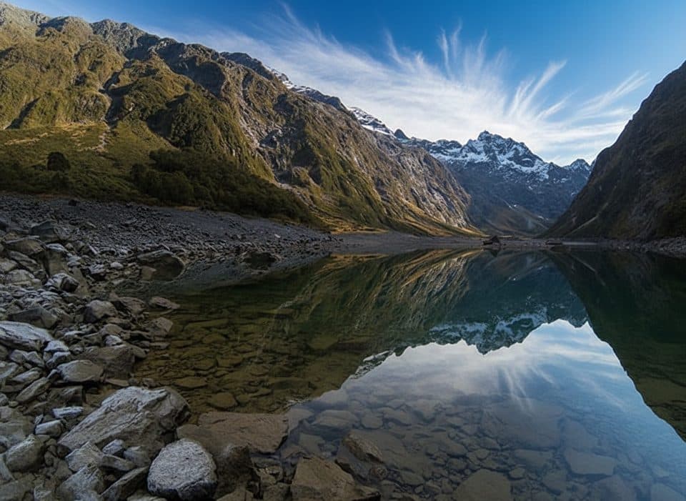
The Routeburn is a 31–32 km (19–20 mile) point‑to‑point Great Walk that links The Divide (Fiordland side) with Routeburn Shelter near Glenorchy. It’s famous for its constantly changing scenery—lush, mossy beech forest, open tussock, waterfalls and rivers, big alpine basins, and mirror‑calm lakes. Most hikers take 2–3 days using Department of Conservation huts; fit parties sometimes push it in a (long) day, but that’s a logistics puzzle.
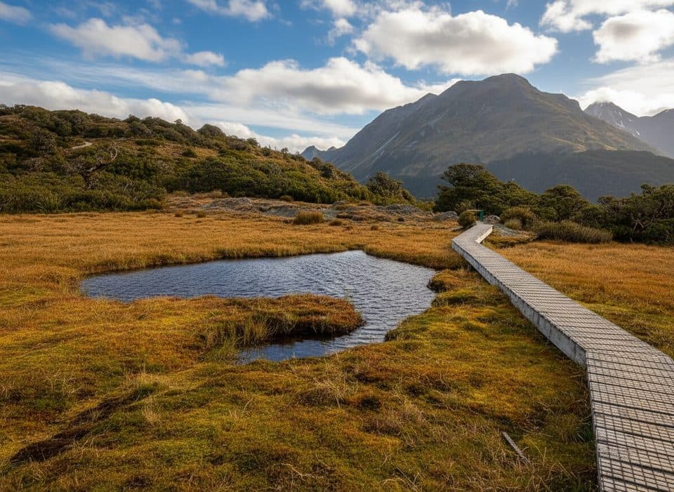
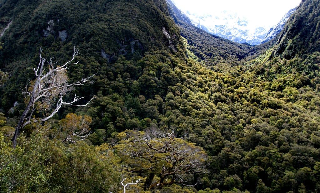
Starting from The Divide, you climb a well‑formed track through classic Fiordland rainforest—dripping moss, beech trunks, and boardwalks where it’s boggy. A popular side trip to Key Summit gives quick, sweeping views across alpine wetlands. Higher up, the trail breaks into the alpine around Lake Harris and reaches Harris Saddle (1,255 m / 4,117 ft), the high point with wide‑angle mountain panoramas. From there, it flows past Routeburn Falls into the valley, across swing bridges, and down to the meadows of Routeburn Flats. You’ll notice the contrast: Fiordland’s wet west versus the drier, more open beech forest on the eastern side—a neat, on‑foot lesson in the Southern Alps rain shadow and glacially carved U‑shaped valleys.
This is not a loop. You’ll need a shuttle/transfer between trailheads. Huts commonly used are Lake Mackenzie Hut, Routeburn Falls Hut, and Routeburn Flats Hut; there’s an emergency shelter at Harris Saddle. Toilets are at huts and major campsites. Independent hikers carry their own gear; guided options with private lodges are also available in season. Trail surfaces are generally well maintained (gravel, boardwalks, rocky steps), but expect steep, uneven sections, especially around the saddle.

Go during the Great Walks season (late October to late April) when huts are serviced and weather is milder. Outside that window (May–October) you’re dealing with snow/ice, avalanche terrain, and unbridged streams—only for experienced, well‑equipped parties. Even in peak season, weather turns fast: strong winds and heavy rain are possible anytime, and the section between Routeburn Falls Hut and Harris Saddle can flood. Bring layers and a hard shell, and build wiggle room into your schedule.
Bottom line: manageable length, world‑class scenery, and solid infrastructure make this a top pick for a first New Zealand alpine traverse—provided you respect the weather and plan the shuttle.
Park at The Divide trailhead on Milford Road (SH94)—there’s a car park with an open shelter and toilets—or at Routeburn Shelter near Glenorchy. Because it’s one‑way, arrange a shuttle/transfer between trailheads.
Highly changeable mountain weather year‑round; strong winds and heavy rain are common. The section between Routeburn Falls Hut and Harris Saddle can flood. Significant exposure above treeline. In winter (May–Oct): snow/ice, avalanche risk, and unbridged stream crossings—experienced parties only. Expect sandflies at lower elevations and near water.