Parking
Park at The Divide Shelter car park on Milford Road (SH 94), about 85 km from Te Anau; the road-accessed start has a shelter, tables, and toilets.

Fiordland National Park, SL
A full-day walk to Fiordland's 174 m waterfall
Overview
This is an out-and-back of about 8.3 miles (13.3 km) return from The Divide Shelter to Earland Falls, following the same Routeburn Track corridor both ways. Allow about 6 hours for the walk, including time at the falls. It is a long day, but the route trades a full Great Walk commitment for beech forest, mountain views, and a 174-metre waterfall.
 Parkwolf’s verdictThe payoff
Map & elevation
Plan your hike

The highest, rockiest slopes around here are a summer buffet for grizzly bears.
Fiordland Tour Guide
Parkwolf is a GPS audio tour guide for Fiordland National Park. As you drive, it chimes in with what’s ahead: hidden gems, upcoming stops, history, geology, and wildlife, right through your car’s speakers.
See the Fiordland audio tourRecorded for this trailhead
The Divide: Gateway to the Routeburn and Key Summit“You're approaching The Divide, which isn't so much an overlook as it is the gateway to some of Fiordland's most famous trails.”
Plays as you drive up to this trailhead in the Parkwolf Fiordland Tour Guide.
More stories near here in the app
“Fantastic app with many points of information… It’s great to just turn on while you’re driving and it gives you an audio tour of the national Park. We love it!!!!”


Trail guide
From the shelter, the track climbs and undulates through silver beech forest, with boardwalks, roots, rocks, and open stretches near the Routeburn's lakes and valleys. Earland Falls drops from Lake Roberts, and the track viewpoint sits close enough to feel the spray. You may not see the full height of the falls from below, so the sound and changing flow are part of the experience.
Expect wet conditions and slick footing, especially after rain. Waterproof layers and a way to protect your phone or camera are sensible. Outside the Great Walks season, snow, ice, and avalanche hazard can affect this section; check the Department of Conservation before setting out. If you continue beyond the falls as an overnight walk, arrange the required hut bookings first.
The Divide Shelter is about 85 km along Milford Road (SH 94) from Te Anau. The road-accessed car park has a shelter, tables, and toilets, but the walk itself is a backcountry track, so bring what you need for the day. At the falls viewpoint, include a person or the track edge in the frame to give the 174-metre drop some scale, and keep your camera protected when spray is blowing across the route.
Wildlife
 1,181 sightingsKeaMost seen around 10 AMSighting map
 199 sightingsFiordland PenguinMost seen around 7 PMSighting map
 228 sightingsBlue DuckMost seen around 5 PMSighting map
 32 sightingsBottlenose DolphinMost seen around 5 PMSighting map
 247 sightingsNew Zealand Fur SealMost seen around 6 PMSighting map
 58 sightingsKākāMost seen around 6 PMSighting map
Sighting maps show where each species has been reported across Fiordland. Wildlife moves, so no sighting is guaranteed.
Keep exploring
 ModerateRouteburn Track to Lake Mackenzie11.3 km · 5.5 hr · At the trailheadBeech forest, Earland Falls, and a glassy alpine lake
 EasyLake Howden Track6.8 km · 3 hr · At the trailheadA short beech-forest walk from The Divide to Lake Howden.
 ModerateCaples Track33.5 km · 15 hr · At the trailheadPoint-to-point tramp through the Caples valley to The Divide Shelter
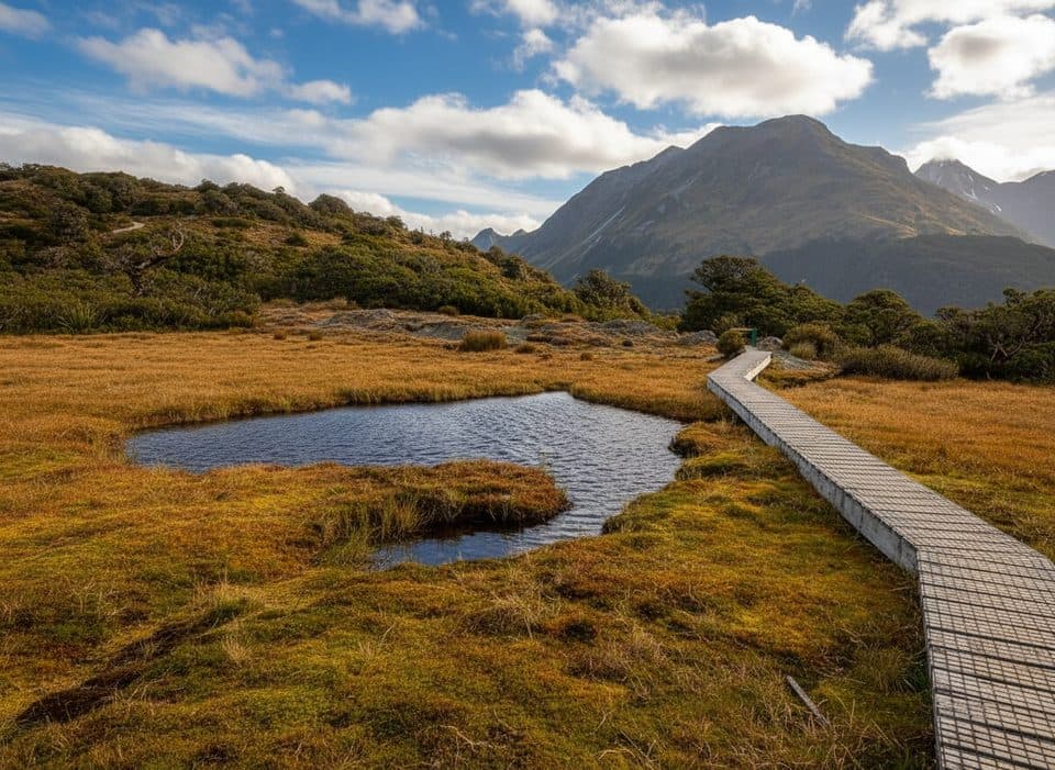 ModerateKey Summit Track6.9 km · 3 hr · At the trailheadA short alpine climb to tarns and Fiordland-wide views
 ChallengingRouteburn Track33 km · 14 hr · At the trailheadA 20.5-mile alpine point-to-point Great Walk from The Divide to Routeburn Shelter
 EasyPop's View Lookout Walk0.2 km · 15 min · 1.9 km awayRoadside panorama over the Hollyford Valley with kea and a memorial
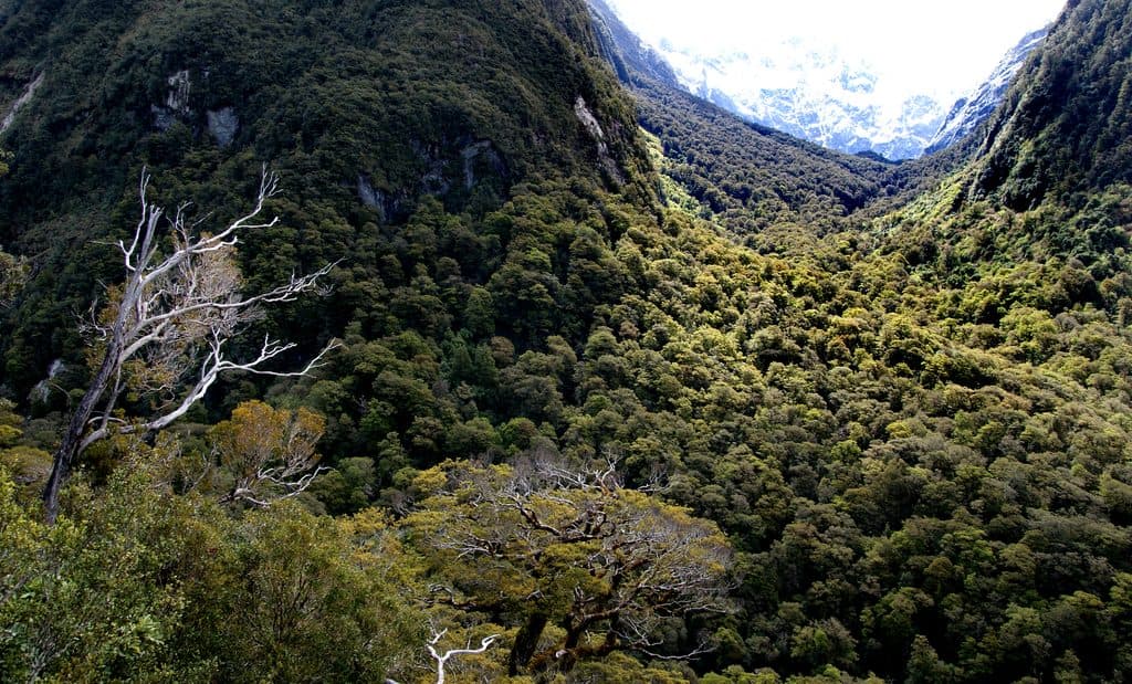 ChallengingLake Marian Track6.3 km · 3 hr · 2.2 km awayShort, rough climb to a mirror-still alpine lake in a hanging valley
 EasyMarian Falls Track1.3 km · 20 min · 2.2 km awayA quick rainforest stroll to photogenic cascades and a swing bridge
 Trailhead · At the trailheadThe DivideBusy gateway to Routeburn and Key Summit with shelter and toilets
 Sight · 1.3 km awayKey Summit Lookout360-degree alpine views and tarns via a short Routeburn side trip
 Sight · 1.7 km awayLake HowdenQuiet forest lake at a famous track junction
 Scenic pullout · 2 km awayPop's View LookoutQuick pull-off with big Hollyford Valley views and cheeky kea
 Sight · 2.2 km awayLake FergusQuiet roadside lake with mirror reflections in the Eglinton Valley
 Sight · 2.5 km awayMarian CascadeQuick, roaring cascades a short stroll from the Lake Marian track
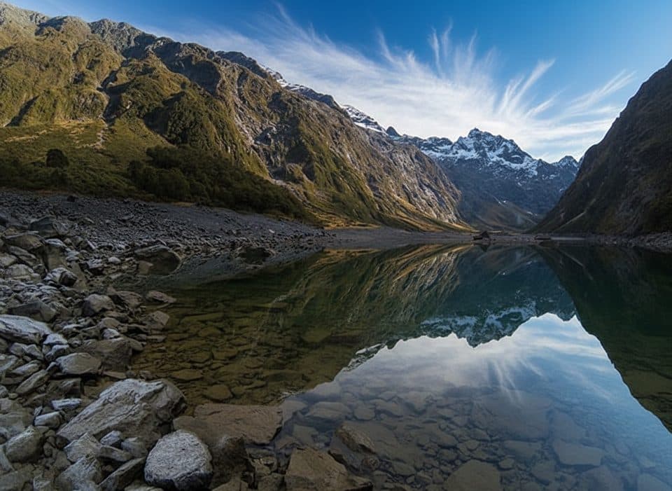 Sight · 3.4 km awayLake Marian LookoutShort walk to a gantry over thundering Marian Falls
 Sight · 4 km awayEarland Falls174 m Routeburn waterfall that drenches the track after rain
Parkwolf’s Fiordland ranking
The audio tour guide for the drive, plus offline maps, trails, and wildlife heatmaps for when the signal drops.


