Pros & cons
PROS
- Two standout beaches plus the famous lookout in a single loop
- Back half of the circuit is surprisingly quiet after the busy lookout
- Visible (do not disturb) Aboriginal shell middens add cultural context
CONS
- Steep stair section to Wineglass Bay can bottleneck with crowds
- Tiger snakes are commonly seen in warmer months
- No reliable water along the loop itself—must carry enough
Park at the Wineglass Bay Walking Tracks car park inside the national park; toilets at the trailhead and water taps nearby. A Parks Pass is required.
Snake‑aware walking needed in warm months; do not disturb shell middens on Hazards Beach dunes; limited shade and scarce drinking water on route; steep crowded stairs to Wineglass Bay can be slippery.
Overview
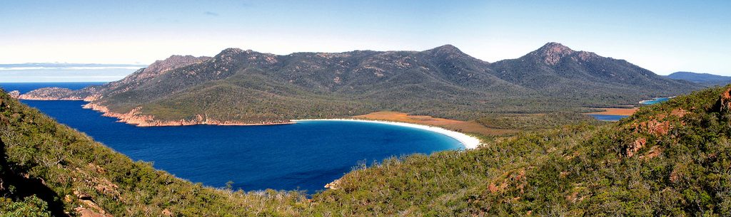
This is Freycinet’s classic loop: a scenic 11 km/6.8 mile circuit that pairs Tasmania’s most photographed lookout with time on two gorgeous beaches. Expect a moderate effort with about 300 m/1,000 ft of total gain. Most hikers finish in 3–5 hours; plan on the higher end if you linger on the sand. GPS logs vary if you wander the beaches, but the standard signed loop is 11 km total.
Route (clockwise, the popular way)
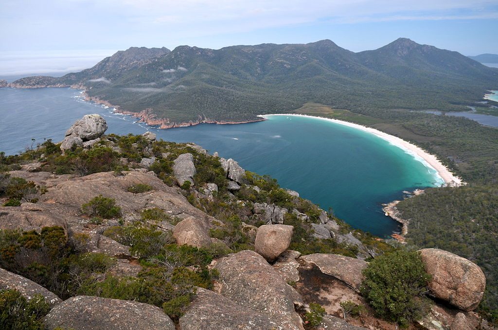
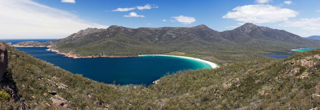
From the Wineglass Bay Walking Tracks car park, climb well-built dirt and granite steps to Wineglass Bay Lookout for the postcard view. Continue past the saddle into a steep descent—around 500 steps—down to Wineglass Bay Beach. After beach time, cross the quiet isthmus through coastal forest on a mostly flat, sometimes boardwalked path to Hazards Beach. Turn north and follow the undulating coastal track back toward Coles Bay and the car park. Surfaces range from compacted dirt and stone to soft sand and occasional rocky steps.
What you’ll see
- The turquoise arc of Wineglass Bay from above, then its white sand up close.
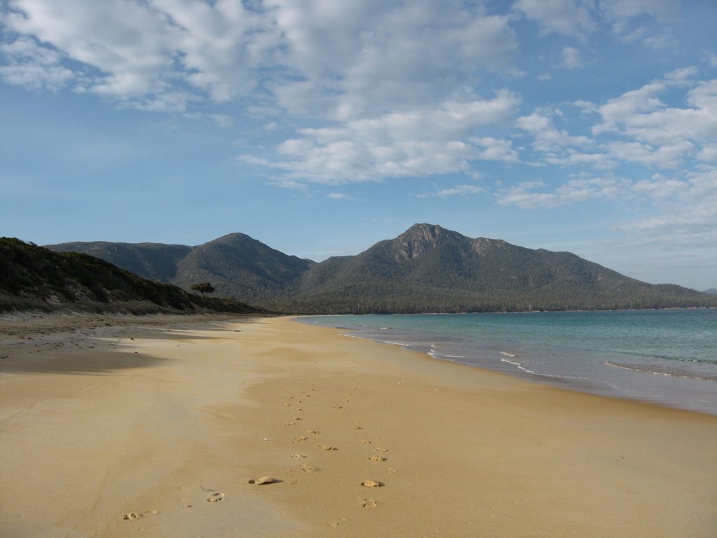
- A peaceful isthmus walk with diverse coastal vegetation and the occasional magnificent grass tree. Keep an eye out for Aboriginal shell middens on the Hazards Beach dunes—important cultural sites you must not disturb.
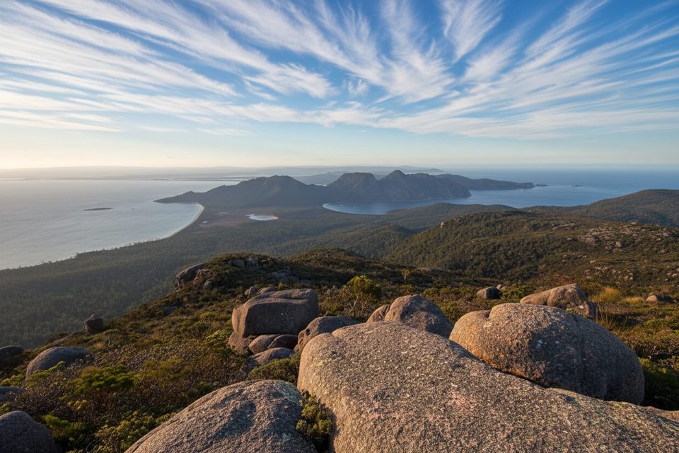
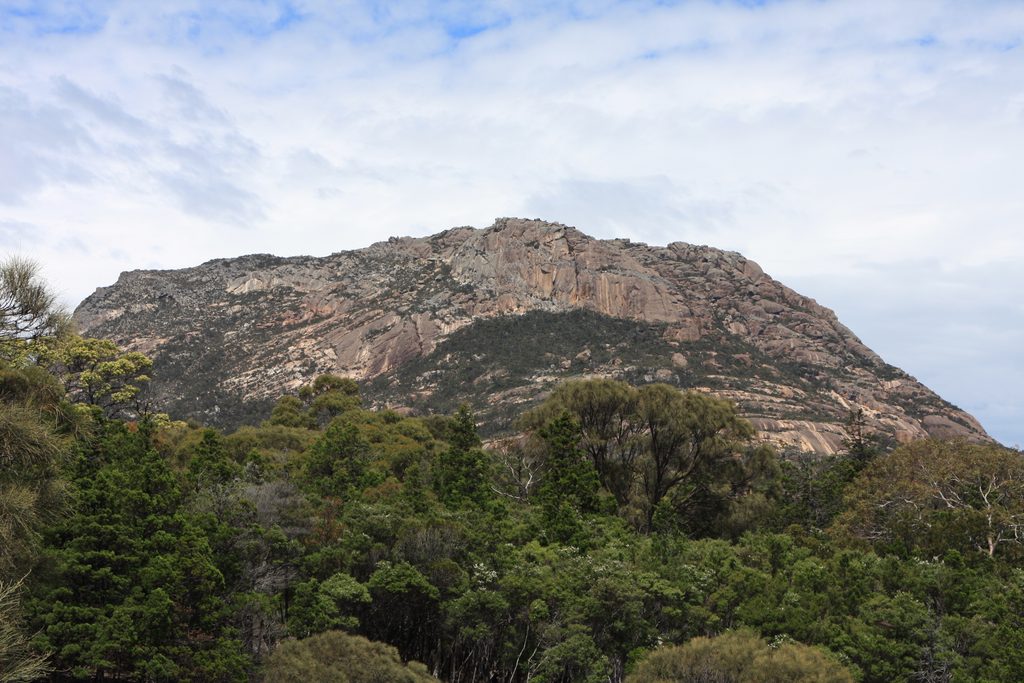
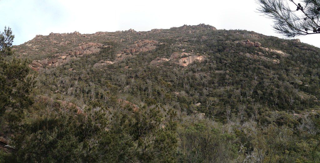
- Pink granite peaks of The Hazards framing long shoreline views; wildlife often includes wallabies and, along the shore, crabs.
Difficulty and crowd factor
The initial climb and the steep stair descent to Wineglass Bay are the crux; after that it’s mostly flat to gently rolling. The lookout and the steps can be very busy; far fewer people complete the full circuit, so the back half often feels quiet.
Best time to hike
Start early to beat lookout crowds and enjoy cooler temps. Summer brings heat and more people—carry extra water. Shoulder seasons can be lovely; one May visit reported cool temps, light rain, and noticeably lighter crowds. Swimming is allowed at the beaches if conditions suit.
Practical tips
- A valid Parks Pass is required. Toilets at the trailhead. Drinking water is limited in the park—refill at the visitor centre or taps at Honeymoon Bay and the Wineglass Bay Walking Tracks car park, and carry what you need for the loop.
- Wear grippy hiking shoes; sections can be slippery. Sun protection is essential with limited shade. Trekking poles help on the steep stair sections. In warmer months, be snake‑aware (tiger snakes are present).
Worth it?
Yes. It’s a greatest-hits loop that balances an iconic viewpoint with quieter stretches and two sublime beaches. A minority of walkers find the middle sections less dramatic than the bookends, but if you want the full Wineglass Bay experience in one half‑day, this is the move.
Elevation
6.8 mi · 4.5 hrWildlife on this trail
Near Hazards Beach Circuit
All places →All trails →
Wineglass BayIconic white-sand curve beneath pink granite peaksTrailhead · Restroom
Mount AmosShort, steep scramble to the best Wineglass Bay panoramaTrailhead · Parking
The HazardsPink granite peaks with classic hikes and knockout bay viewsTrailhead · Parking
Wineglass Bay LookoutClassic Wineglass Bay panorama after a short, steep walkScenic Viewpoint · Parking
Wineglass Bay Lookout TrackTasmania’s classic lookout with big views and a short, stairy climbModerate · 1.6 mi · 1.5 hr
Mount Amos ClimbShort, steep granite scramble to the best Wineglass Bay viewChallenging · 3.1 mi · 4 hrFreycinet Peninsula CircuitA coastal to mountain sampler with big views and scarce waterChallenging · 16.8 mi · 12 hr
Mount Freycinet SummitShort, steep granite scramble to the peninsula’s highest viewpointChallenging · 0.9 mi · 2 hr