

Place · 0.4 mi away
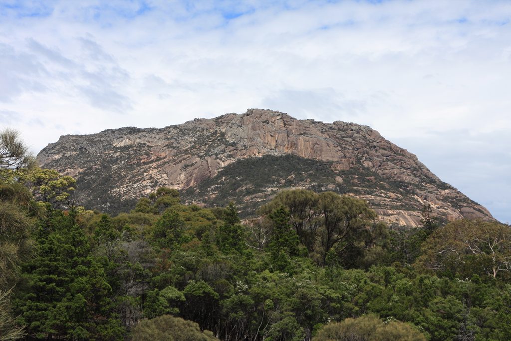
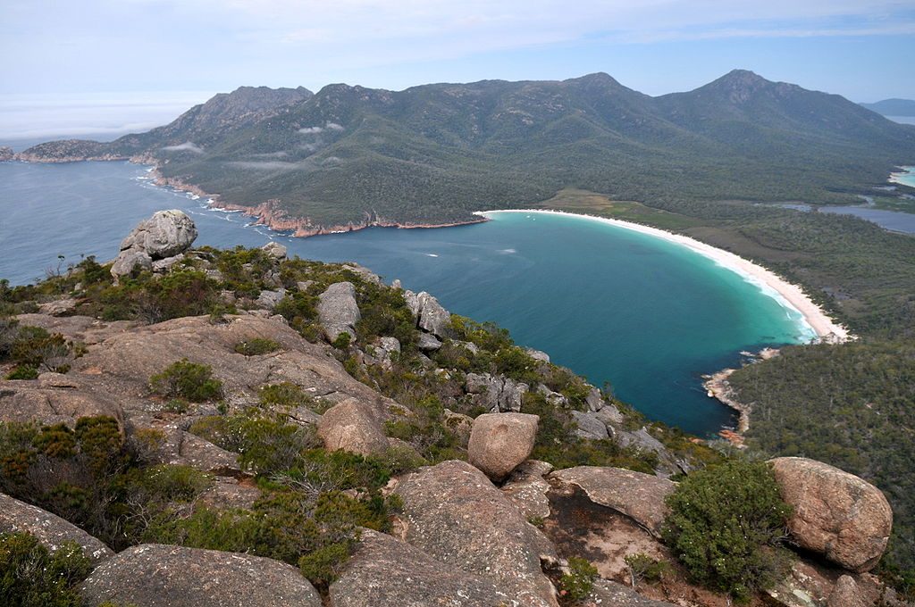
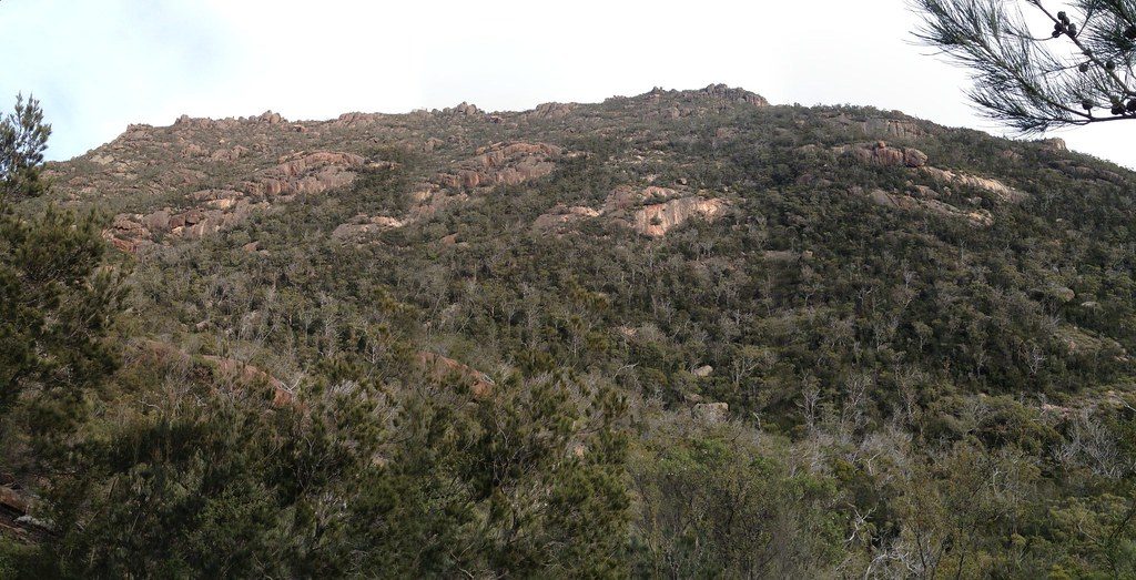
The Hazards are the park’s signature pink‑hued granite mountains, rising between Coles Bay and Wineglass Bay. Five main peaks—Mayson (415 m), Amos (454 m), Dove (485 m), Baudin (413 m) and Parson (331 m)—form the skyline that frames turquoise water and white sand.
Their pink color comes from orthoclase (a feldspar) in granite that’s roughly 370 million years old, later uplifted and exposed and rounded by long weathering. The range is said to be named after American whaler Captain Richard Hazard, a nod to the peninsula’s 1800s sealing, mining and whaling era.
Expect big, rounded granite domes, boulder gardens and viewpoints over contrasting coastlines—sheltered bays, rocky coves and surfy beaches. The peninsula itself is two eroded granite blocks (The Hazards and the Mount Graham/Mount Freycinet massif) connected by a sandy isthmus forming the Wineglass Bay side.
Keep an eye out for Bennett’s wallabies, pademelons and echidnas around the tracks, seals hauled out on rocks, and excellent birdlife from small nectar‑feeders to white‑bellied sea‑eagles and Australasian gannets offshore. In winter, migrating humpbacks and occasionally southern right whales pass the peninsula.
Start from the Wineglass Bay Walking Tracks Car Park (sealed access via Coles Bay). Toilets are here, and also at Honeymoon Bay and Ranger Creek day‑use areas. Drinking water is limited—refill at the visitor centre’s filtered/chilled station; taps are at Honeymoon Bay and the Walking Tracks Car Park. Honeymoon Bay and Ranger Creek have picnic tables and electric barbecues. A valid Parks Pass is required; drones aren’t permitted, and you must pack out all rubbish. The visitor centre sells passes, maps and basic supplies.
Go early or late for softer light on the pink granite and fewer people. Granite can be slick when wet—choose dry weather for Mount Amos and wear grippy footwear. Winter adds whale‑watching potential from high viewpoints; otherwise, any clear day rewards with big coastal panoramas.
Place · 0.4 mi away
Place · 0.8 mi away
Place · 0.8 mi away
Place · 1.1 mi away
Challenging · 0.6 mi away
Moderate · 1.4 mi away
Moderate · 1.4 mi away
Easy · 2.7 mi away

Parkwolf Tour Guide
