South Overlook in Gateway Arch National Park

Sight · Gateway Arch National Park

South Overlook

Curved concrete carries Saarinen and Kiley’s design to the river.

Type
Sight
Nearest trail
0.3 mi
Audio stories
6 nearby
  • Scenic viewpoint

Hear the audio tour

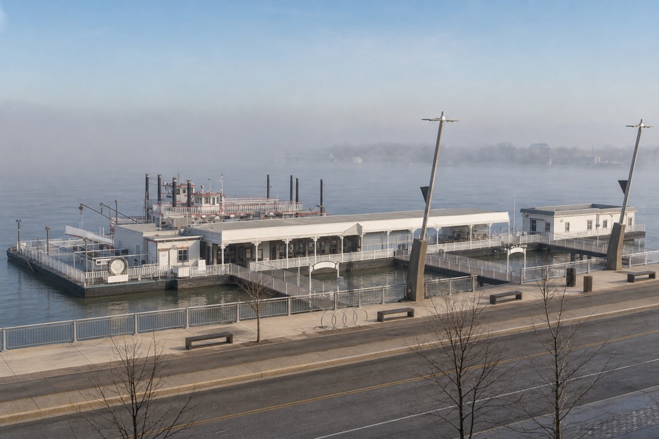
Riverboats and Paddlewheel Café

Overview

About South Overlook

Why stop

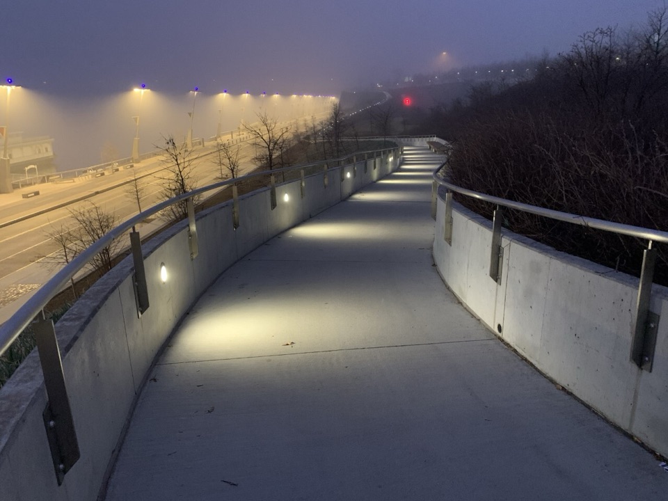
  • The walks, stairs and retaining walls echo the Arch’s form.

Heads up

  • The south-end riverfront connection uses stairs; a step-free route to this terrace is unclear.
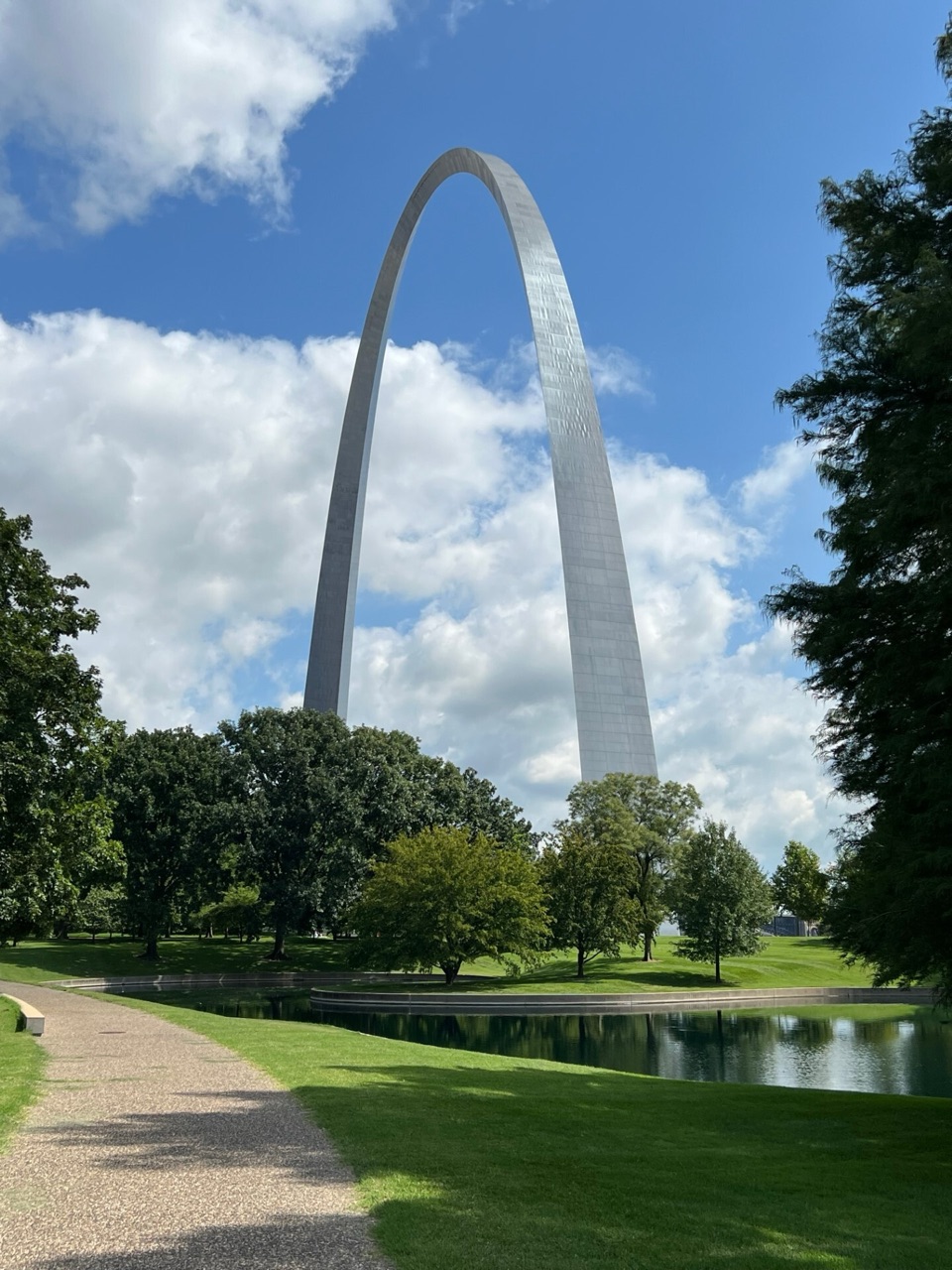
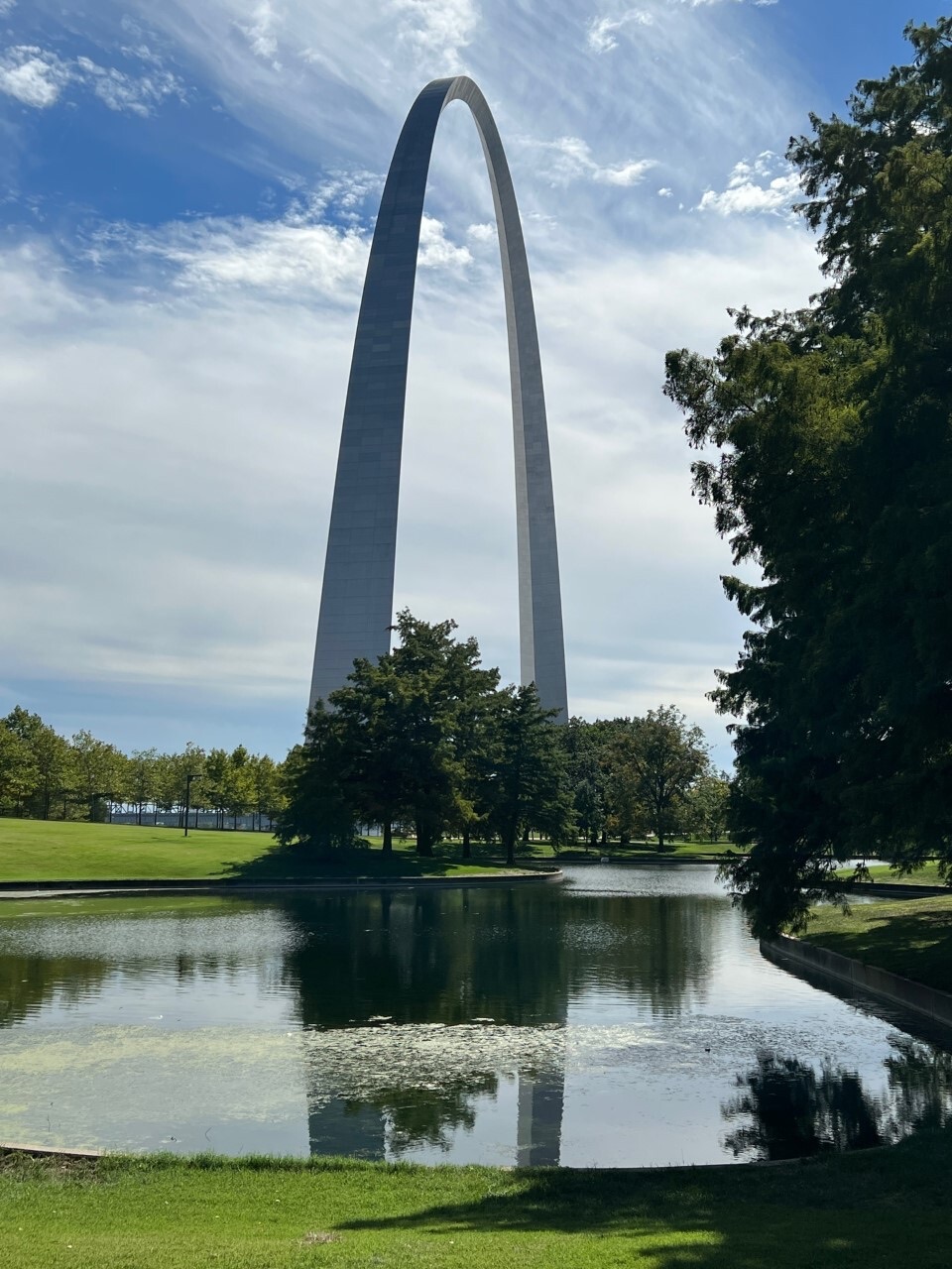
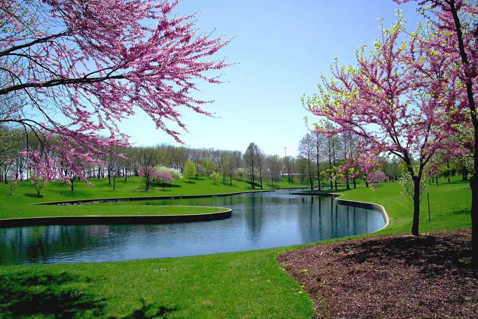
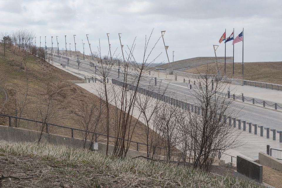
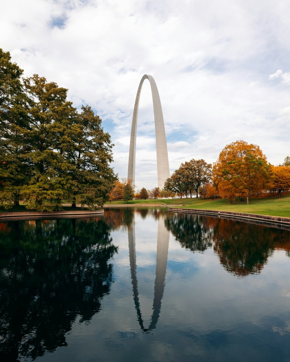
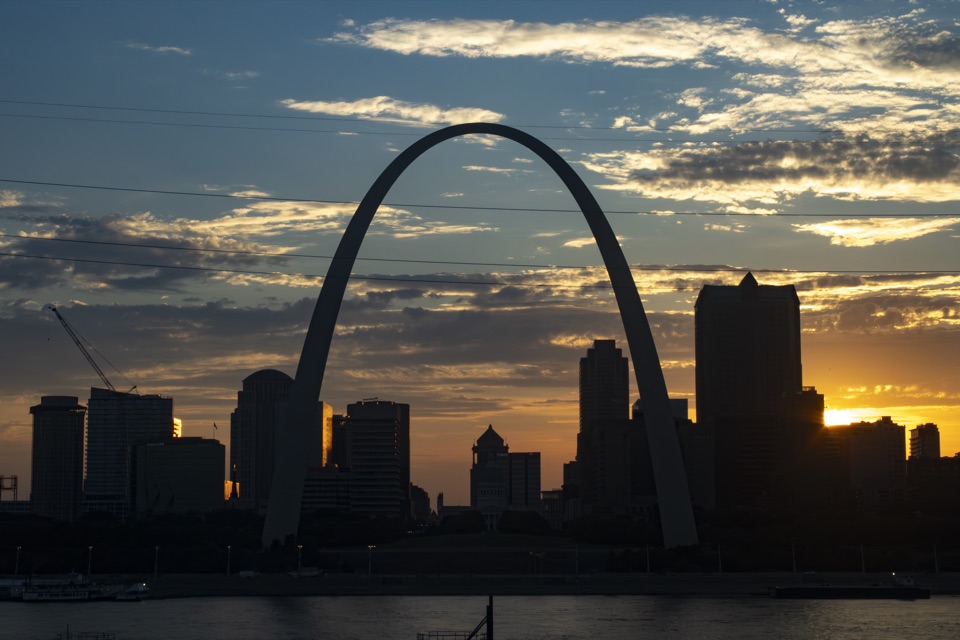
South Overlook is a concrete pedestrian terrace at the southern edge of Gateway Arch National Park, where the designed grounds meet the Mississippi riverfront. Its payoff is seeing how Eero Saarinen and landscape architect Dan Kiley carried the Arch’s curve into the paths, stairs and retaining walls. It’s a secondary architectural stop within a visit to the Arch grounds, rather than a rival to the Arch plaza.
Parkwolf’s verdictWhy stop here

Map

Where it is

Loading the Gateway Arch map
Full map
SightSouth Overlook38.62044, -90.18582
Keep this map with you offline in the Parkwolf app

Plan your stop

Before you go

1 active Gateway Arch alert

  • ClosureDowntown St. Louis approach-road closuresConstruction closes two downtown St. Louis approaches; use another route when traveling to Gateway Arch National Park. - I-44: the westbound express lanes and Broadway exit are closed.Official details
Gateway Arch alerts
A park ranger sits on a dash-mounted phone, talking, as Parkwolf’s Tour Guide plays “Army Cutworm Moths: A Grizzly Bear Buffet” on Grand Loop Road below Dunraven Pass in Yellowstone
Parkwolf Tour GuideThe highest, rockiest slopes around here are a summer buffet for grizzly bears.

Gateway Arch Tour Guide

Your drive to South Overlook, narrated.

Parkwolf is a GPS audio tour guide for Gateway Arch National Park. As you drive, it chimes in with what’s ahead: hidden gems, upcoming stops, history, geology, and wildlife, right through your car’s speakers.

Recorded for this area

Riverboats and Paddlewheel Café
0:00 / 0:31
“You're coming up on the riverfront near the Gateway Arch riverboat dock. The one-hour sightseeing cruise gives you the Arch and downtown from water level; include a strip of river beneath the skyline in your photos.”

Plays on the road 0.1 mi from South Overlook in the Parkwolf Gateway Arch Tour Guide.

More stories near here in the app

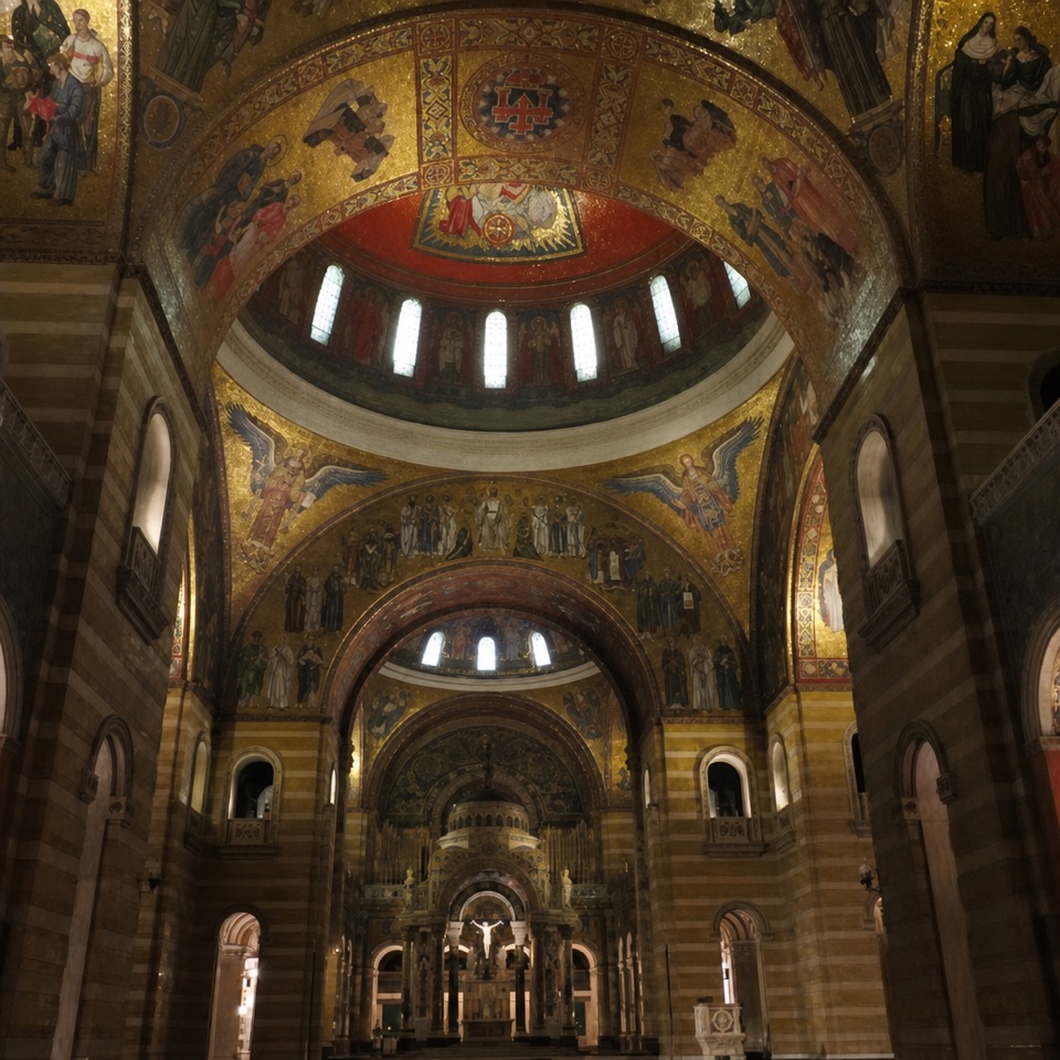
  • Old Cathedral
  • Gateway Helicopter Tours
  • Gateway Arch and Visitor Center
  • Old Courthouse and Kiener Plaza
  • 6 audio storiesacross Gateway Arch’s roads, triggered by GPS as you drive
  • Wildlife heatmapsfor Red-tailed Hawk, Groundhog, Opossum, and 13 more
  • Works offlinemaps, 3 trails, 24 places, and audio download before you lose signal
  • CarPlay readysimple controls built for the drive
★★★★★
“Fantastic app with many points of information… It’s great to just turn on while you’re driving and it gives you an audio tour of the national Park. We love it!!!!”
JMJamesApp Store review
Download Parkwolf on the App StoreGet Parkwolf on Google Play

4.7 from 8,600+ ratings

Guide

More about South Overlook

Getting to the riverfrontEast-slope paths and the Grand Staircase connect the park grounds with the riverfront.

East-slope paths and the Grand Staircase connect the park grounds with the riverfront. The south-end connection includes concrete stairs. A separate step-free route to this exact terrace isn’t clearly identified, so check access details before heading down if stairs could limit your route.

Curves with a purposeKiley and Saarinen began the landscape plan during the 1947 memorial competition.

Kiley and Saarinen began the landscape plan during the 1947 memorial competition. Their original, heavily wooded and asymmetrical plan was never built: federal money was unavailable, and the railroad trestle still blocked the riverfront. A 1957 agreement cleared the way for a revised, symmetrical design aligned with the Old Courthouse, with open cuts and tunnels carrying trains between the Arch and river.

The Arch’s catenary curve repeats in the curved walks, south-end stairs and overlook retaining walls. Kiley kept refining the landscape with the Park Service after Saarinen died in 1961; the grounds were installed after the Arch was completed in 1965. The Arch and its surrounding grounds became a National Historic Landmark in 1987.

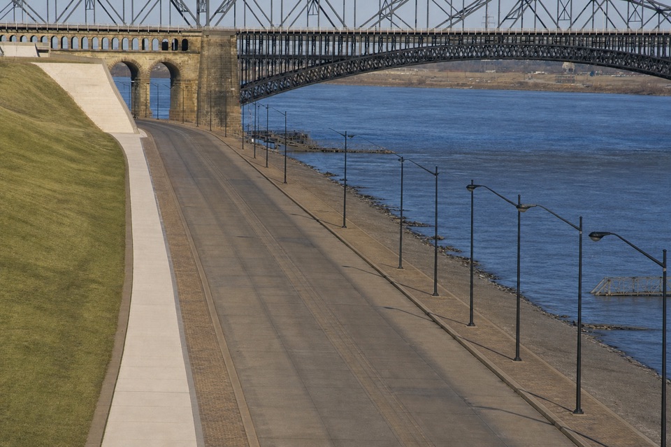
What the slopes hideThe rolling berms do more than soften the park’s edge.

The rolling berms do more than soften the park’s edge. They conceal the railroad cut, roads, a shipping and receiving point, and a major highway, making the infrastructure disappear into the landscape.

Frame the curveFor a photo, look for the curved retaining wall or stair profile against the river.

For a photo, look for the curved retaining wall or stair profile against the river. Those low, sweeping lines repeat the Arch’s shape without needing the monument itself in the frame.

Wildlife

Wildlife in Gateway Arch

All Gateway Arch wildlife maps

Sighting maps show where each species has been reported across Gateway Arch. Wildlife moves, so no sighting is guaranteed.

Parkwolf’s Gateway Arch ranking

Top sights in Gateway Arch

All 24 places
  1. 1Gateway ArchSight
  2. 2Museum at the Gateway ArchSight
  3. 3Old CourthouseSight
  4. 4Riverboats at the Gateway ArchSight
  5. 5Old CathedralSight
  6. 6Malcolm W. Martin Memorial ParkSight

Take Parkwolf to Gateway Arch.

The audio tour guide for the drive, plus offline maps, trails, and wildlife heatmaps for when the signal drops.

4.7 from 8,600+ ratings

Download Parkwolf on the App StoreGet Parkwolf on Google Play