Overview
About Jaw Point
Why stop
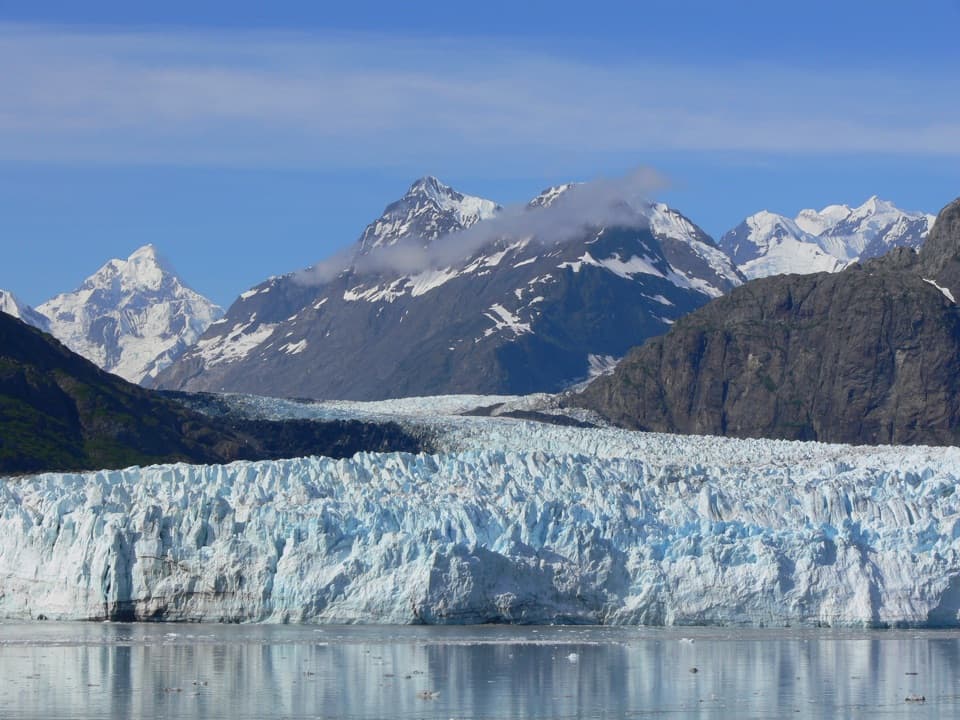
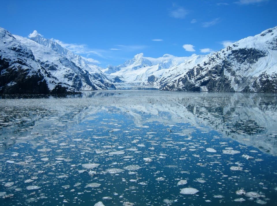
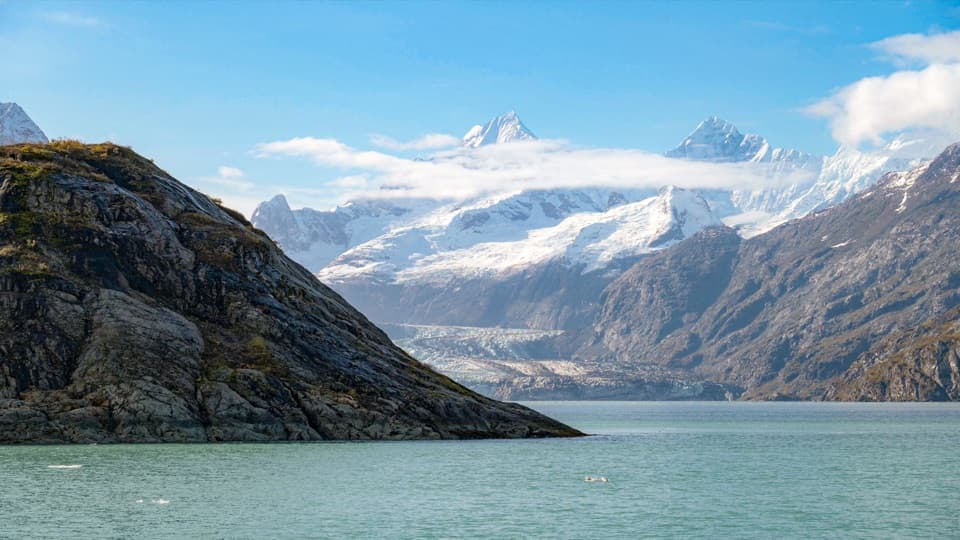
- A clear-day view frames Johns Hopkins Glacier with the Fairweather Mountains.
Heads up
- No identified public landing; visibility and boat access can vary.
Map
Where it is

The highest, rockiest slopes around here are a summer buffet for grizzly bears.
Glacier Bay Tour Guide
Your drive to Jaw Point, narrated.
Parkwolf is a GPS audio tour guide for Glacier Bay National Park. As you drive, it chimes in with what’s ahead: hidden gems, upcoming stops, history, geology, and wildlife, right through your car’s speakers.
- 19 audio storiesacross Glacier Bay’s roads, triggered by GPS as you drive
- Wildlife heatmapsfor Humpback Whale, Orca, Brown Bear, and 13 more
- Works offlinemaps, 7 trails, 33 places, and audio download before you lose signal
- CarPlay readysimple controls built for the drive
“Fantastic app with many points of information… It’s great to just turn on while you’re driving and it gives you an audio tour of the national Park. We love it!!!!”


Guide
More about Jaw Point
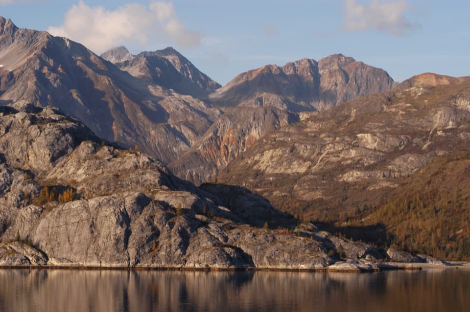
A headland on the waterJaw Point is a rocky headland at the entrance to Johns Hopkins Inlet.
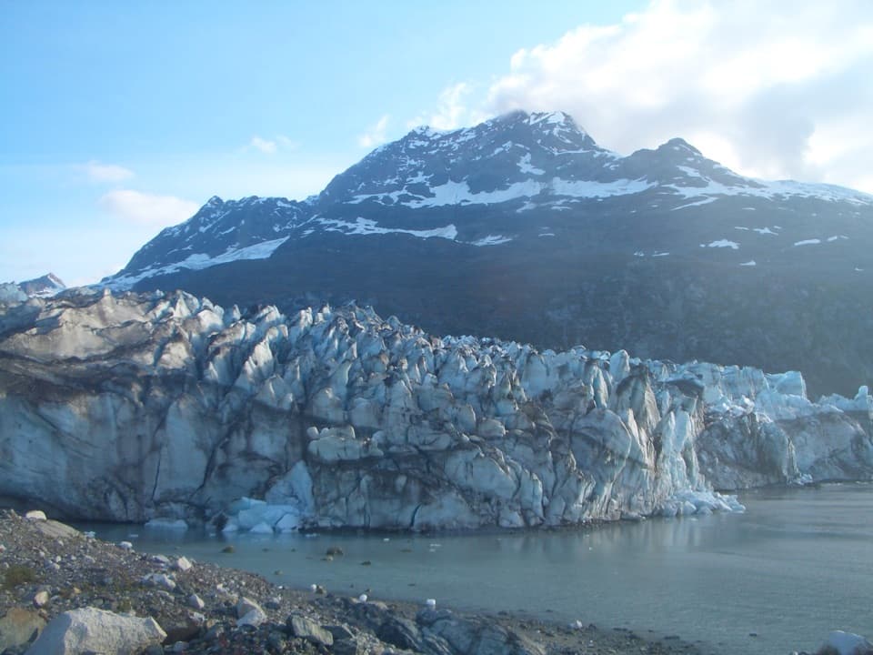
Jaw Point is a rocky headland at the entrance to Johns Hopkins Inlet. From the water, rounding it opens a view of Johns Hopkins Glacier and the Fairweather Mountains, with icebergs scattered across the inlet. Treat it as a boat-viewed landmark rather than a shore stop: no developed trail or public landing is identified, and an itinerary may not enter the inlet.
Check the routeSummer vessels need a park permit, and seasonal rules can close the upper inlet or keep boats…
Summer vessels need a park permit, and seasonal rules can close the upper inlet or keep boats back from seals hauled out on ice. Check current vessel rules and your operator's route before counting on this pass; even then, cloud can hide the glacier.
Iceberg nurseriesHarbor seals use the icebergs in front of Johns Hopkins Glacier to give birth and nurse pups.
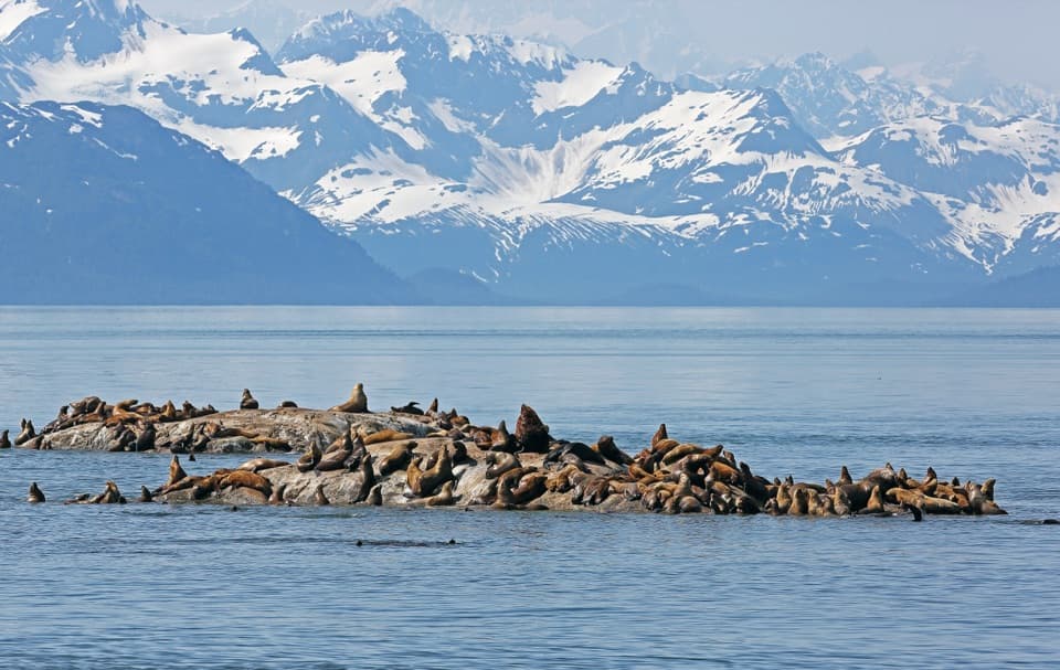
Harbor seals use the icebergs in front of Johns Hopkins Glacier to give birth and nurse pups. Those floes are nursery habitat, and vessel limits help prevent disturbance that could separate mothers and pups.
A seam in the rocksAlong Glacier Bay's western edge, the Fairweather–Queen Charlotte fault system marks a…
Along Glacier Bay's western edge, the Fairweather–Queen Charlotte fault system marks a long-running collision zone. The Pacific Plate and Yakutat Microplate have moved northwest along the boundary and into North America for more than 50 million years, at about 50 millimeters a year. Several rock types meet near Jaw Point at a terrane suture zone, where separate crustal fragments joined.
The name and the viewThe origin of Jaw Point's name has been lost.
The origin of Jaw Point's name has been lost. For a photo from the boat, keep the rocky point in the foreground and the glacier beyond it; a break in the cloud makes the distant ice easier to pick out.
Wildlife
Wildlife in Glacier Bay
 98 sightingsHumpback WhaleMost seen around 6 AMSighting map
 48 sightingsOrcaMost seen around 5 PMSighting map
 111 sightingsBrown BearMost seen around 7 PMSighting map
 313 sightingsSea OtterMost seen around 4 PMSighting map
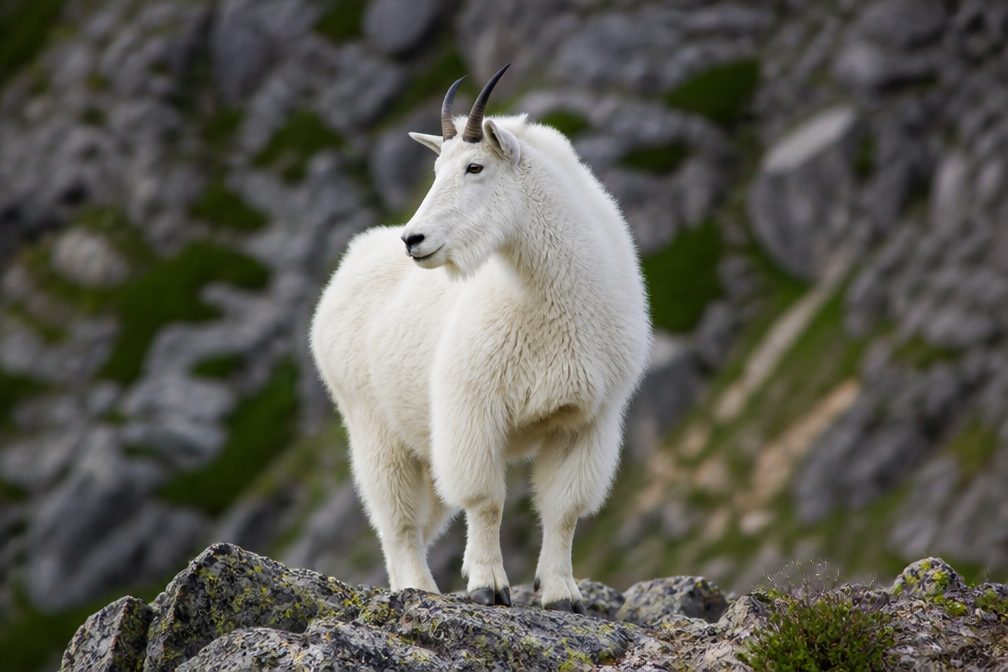 106 sightingsMountain GoatMost seen around 6 PMSighting map
 93 sightingsBald EagleMost seen around 5 PMSighting map
Sighting maps show where each species has been reported across Glacier Bay. Wildlife moves, so no sighting is guaranteed.