Pros & cons
PROS
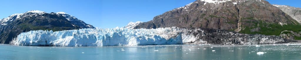
- Photogenic blue tidewater ice with a near-vertical face
- Distinct debris-streaked surface from a major 2016 landslide
- Good chance to spot seals and seabirds on floating ice
CONS
- Boat-only viewing with no on-site facilities
- Fog and rain can obscure views; calving isn’t guaranteed
- Debris cover can look less pristine than other glaciers
Overview
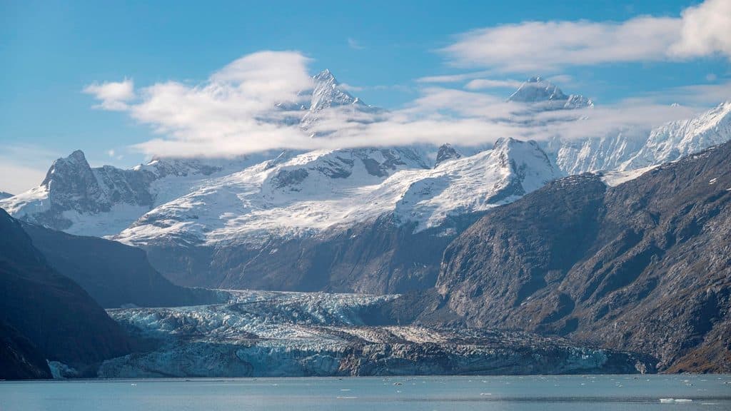
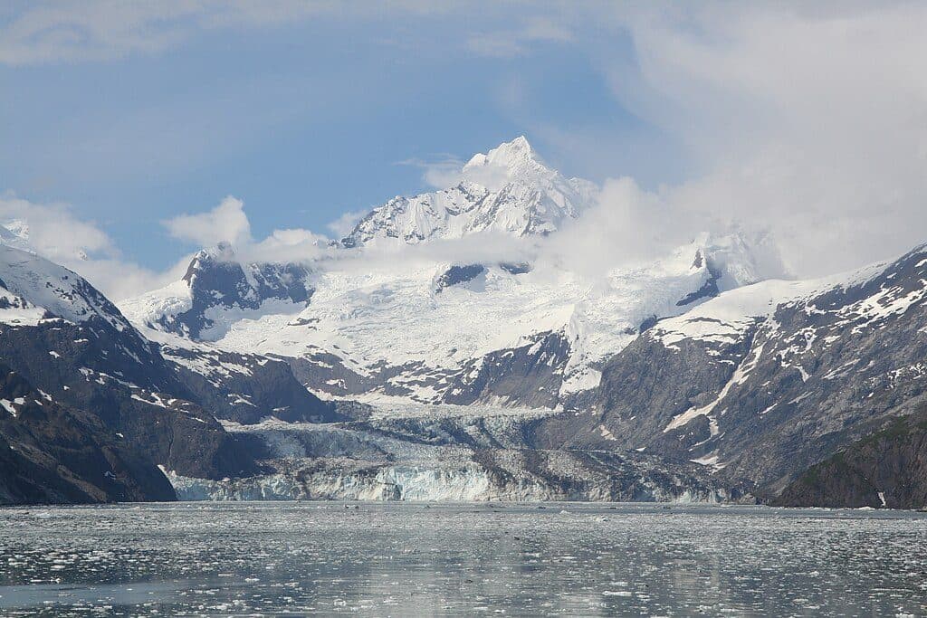
Lamplugh Glacier is a tidewater glacier set at the entrance to Johns Hopkins Inlet, flowing from the Brady Icefield to meet the sea. It’s all about big, blue ice against steep fjord walls—a classic Glacier Bay scene that most people experience from the water.
What You’ll See
Expect a broad, nearly mile‑wide face rising to around 165 feet above the bay, with deep blue tones and dramatic textures. You’ll also notice dark streaks and swaths across the lower glacier—evidence of a massive 2016 landslide that dropped an enormous volume of rock onto the ice. Calving does happen, sending chunks into the water and creating a constantly changing mosaic of bergy bits and brash ice.
Wildlife
Harbor seals commonly haul out on the floating ice, and you may spot otters, sea lions, or even whales in the surrounding waters. Overhead, look for bald eagles and a mix of gulls and seabirds riding the breeze. Terrestrial wildlife like brown bears and mountain goats inhabit the nearby slopes, though sightings are typically distant.
Access and Amenities
This is a wilderness stop: there are no roads, trails, or facilities at the glacier. Visitors view Lamplugh by cruise ship, day tour, private boat, or on sea‑kayaking itineraries. Plan to be self‑sufficient—there are no restrooms, stores, or shelters here.
Best Time to Visit
Clear days bring out the richest blues in the ice. Early morning and late evening light tend to be the most flattering for photos. It often feels quieter than the headline‑grabber nearby, but crowd levels ultimately depend on cruise traffic the day you visit.

Safety
Glacier faces are unpredictable. Calving can send waves and ice outward with little warning. Keep a conservative distance and follow your captain or guide’s instructions.
Geology & History
Lamplugh flows from the Brady Icefield, and its lower surface was dramatically altered by a huge landslide in 2016, which left a distinctive debris blanket and affected meltwater patterns. The glacier was named in 1912 for English geologist George William Lamplugh, who visited the area in the late 19th century.
Where it is
58.8322, -136.8953Tips for Lamplugh Glacier
- 01Plan to see it by boat, tour, or kayak—there are no roads or trails.
- 02Clear days show the bluest ice; early or late light flatters photos.
- 03Bring warm layers, rain gear, and a zoom lens or binoculars.
- 04Keep a safe distance from the face; calving can throw waves and ice.
- 05If you’ve seen Margerie, expect a darker, debris-streaked look here.
Near Lamplugh Glacier
All places →All trails →
5.1 mi awayReid GlacierIntimate, boat-in glacier with wildlife and a quiet, textured ice face
6.8 mi awayJohns Hopkins InletRemote fjord to an advancing tidewater glacier with teeming seals
7 mi awayRussell IslandRemote island with glacier views, wildlife, and true wilderness solitude
8.3 mi awayJohns Hopkins Glacier ViewpointBoat-only views of an advancing tidewater glacier and teeming wildlife
44.7 mi awayTlingit TrailA gentle bayside stroll into Huna Tlingit culture and Bartlett CoveEasy · 1 mi · 1 hr
Bartlett River TrailQuiet rainforest walk to a wildlife-rich river estuaryEasy · 5 mi · 4.5 hr
Forest Loop TrailRainforest loop with pond views, beach detour, and spring birdsongEasy · 1 mi · 1 hr
Bartlett Lake TrailLong, soggy rainforest trek to a quiet lake—bring rubber boots.Moderate · 8 mi · 7 hr