Overview
About Riggs Glacier
Why stop
- A distinct glacier destination in Glacier Bay’s upper East Arm
Heads up
- No confirmed landing or guaranteed close approach
Map
Where it is

The highest, rockiest slopes around here are a summer buffet for grizzly bears.
Glacier Bay Tour Guide
Your drive to Riggs Glacier, narrated.
Parkwolf is a GPS audio tour guide for Glacier Bay National Park. As you drive, it chimes in with what’s ahead: hidden gems, upcoming stops, history, geology, and wildlife, right through your car’s speakers.
- 19 audio storiesacross Glacier Bay’s roads, triggered by GPS as you drive
- Wildlife heatmapsfor Humpback Whale, Orca, Brown Bear, and 13 more
- Works offlinemaps, 7 trails, 33 places, and audio download before you lose signal
- CarPlay readysimple controls built for the drive
“Fantastic app with many points of information… It’s great to just turn on while you’re driving and it gives you an audio tour of the national Park. We love it!!!!”


Guide
More about Riggs Glacier
A remote glacier in Muir InletRiggs Glacier is a named glacier in the upper East Arm of Muir Inlet, a remote wilderness…
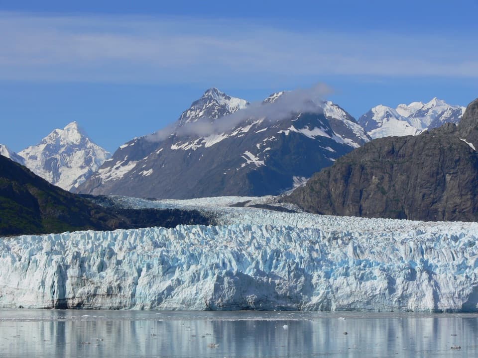
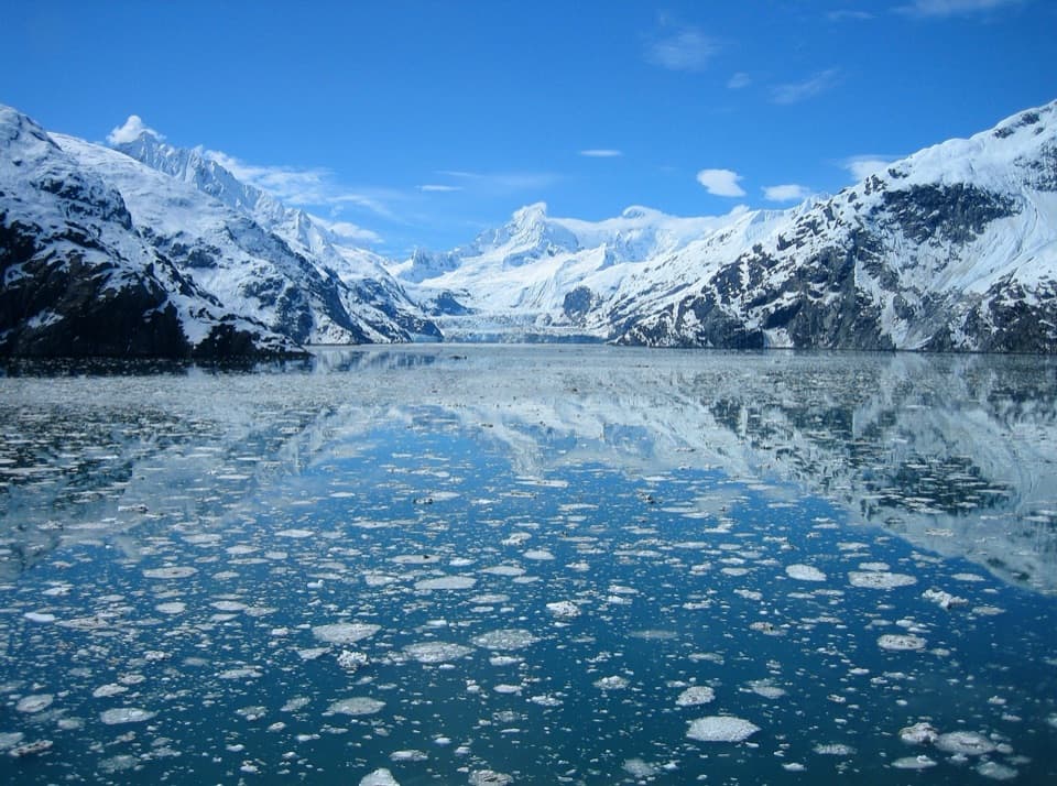
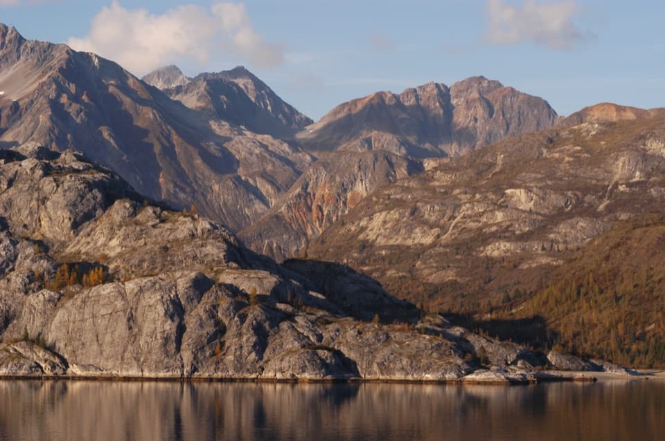
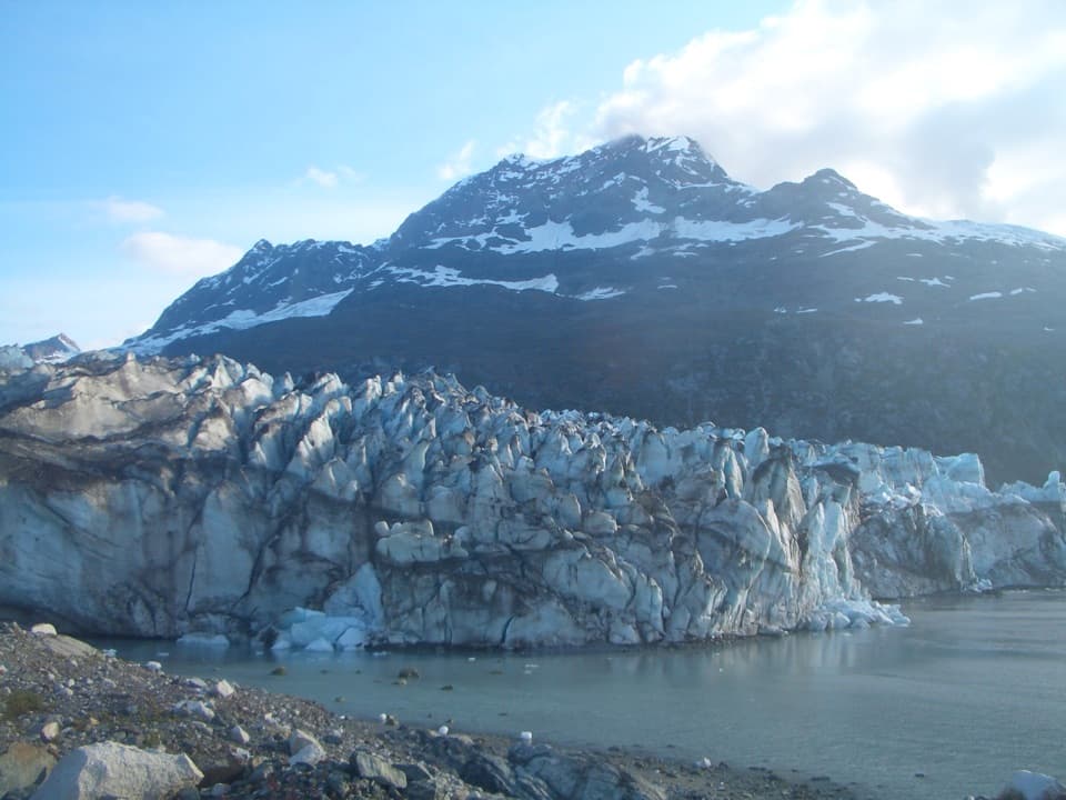
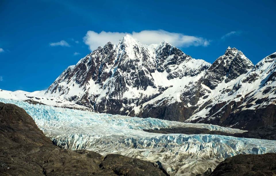
Riggs Glacier is a named glacier in the upper East Arm of Muir Inlet, a remote wilderness feature rather than a developed shore stop. Save it for a boat itinerary that already reaches this far into the bay; on a shorter visit, the park's more prominent glacier destinations deserve priority. Treat it as a route-dependent boat view: no landing or guaranteed close approach was confirmed. If your route opens the angle, keep the mountain wall behind the glacier in frame to show its scale.
A wider story of iceGlaciers flow downhill under the weight of accumulated ice, grinding and polishing bedrock into…
Glaciers flow downhill under the weight of accumulated ice, grinding and polishing bedrock into the broad U-shaped valleys found around Glacier Bay. The region's Little Ice Age advance began about 4,000 years ago and reached its maximum around 1750, after which broad melting began. That's regional context, not a timeline or retreat measurement specific to Riggs.
Getting into the upper bayReaching the upper East Arm means traveling by water.
Reaching the upper East Arm means traveling by water. Private boaters must contact the park when entering and exiting Glacier Bay from May 1 through September 30; a permit and annual orientation apply to private vessels traveling north of Point Gustavus and Point Carolus from June 1 through August 31. Commercial vessels follow separate authorization rules. Cell coverage is limited, so check current boating requirements and your operator's route before making Riggs a target.
Wildlife
Wildlife in Glacier Bay
 98 sightingsHumpback WhaleMost seen around 6 AMSighting map
 48 sightingsOrcaMost seen around 5 PMSighting map
 111 sightingsBrown BearMost seen around 7 PMSighting map
 313 sightingsSea OtterMost seen around 4 PMSighting map
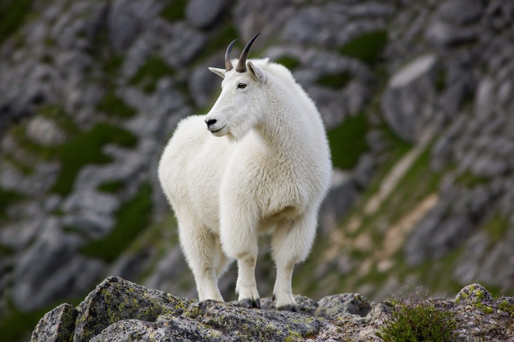 106 sightingsMountain GoatMost seen around 6 PMSighting map
 93 sightingsBald EagleMost seen around 5 PMSighting map
Sighting maps show where each species has been reported across Glacier Bay. Wildlife moves, so no sighting is guaranteed.