Sebree Island in Glacier Bay National Park

Sight · Glacier Bay National Park

Sebree Island

A remote East Arm start for kayak and camping trips.

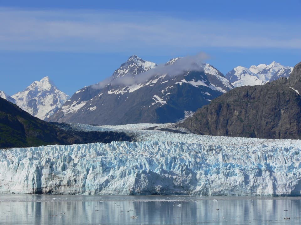
Photo: Ken Lund from Reno, Nevada, USA, CC BY-SA 2.0, via Wikimedia Commons

Type
Sight

Overview

About Sebree Island

Why stop

  • A useful starting point for East Arm kayak trips.

Heads up

  • Far from Bartlett Cove and dependent on a planned boat landing.

Map

Where it is

Loading the Glacier Bay map
Full map
SightSebree Island58.76178, -136.15855
Keep this map with you offline in the Parkwolf app

Plan your stop

Before you go

Landing takes planning

The National Park Service's 2026 schedule included a seasonal drop-off for kayakers and campers; future dates aren't established, and the landing beach changes. The slope at some tides can leave you wet. Check current boat and permit arrangements before committing, and carry what you need for a self-supported wilderness stay.

A park ranger sits on a dash-mounted phone, talking, as Parkwolf’s Tour Guide plays “Army Cutworm Moths: A Grizzly Bear Buffet” on Grand Loop Road below Dunraven Pass in Yellowstone
Parkwolf Tour GuideThe highest, rockiest slopes around here are a summer buffet for grizzly bears.

Glacier Bay Tour Guide

Your drive to Sebree Island, narrated.

Parkwolf is a GPS audio tour guide for Glacier Bay National Park. As you drive, it chimes in with what’s ahead: hidden gems, upcoming stops, history, geology, and wildlife, right through your car’s speakers.

  • 19 audio storiesacross Glacier Bay’s roads, triggered by GPS as you drive
  • Wildlife heatmapsfor Humpback Whale, Orca, Brown Bear, and 13 more
  • Works offlinemaps, 7 trails, 33 places, and audio download before you lose signal
  • CarPlay readysimple controls built for the drive
★★★★★
“Fantastic app with many points of information… It’s great to just turn on while you’re driving and it gives you an audio tour of the national Park. We love it!!!!”
JMJamesApp Store review
Download Parkwolf on the App StoreGet Parkwolf on Google Play

4.7 from 8,600+ ratings

Guide

More about Sebree Island

A start for a bigger tripSebree Island is a forested island in Glacier Bay's East Arm, best known as a boat-supported…

Sebree Island is a forested island in Glacier Bay's East Arm, best known as a boat-supported starting point for kayak and camping trips. The National Park Service lists it 22.5 nautical miles from Bartlett Cove by boat, so this isn't a quick add-on to the park's land-based stops. Keep it in mind if you're planning an East Arm paddle; otherwise, choose an easier-to-reach part of the bay.

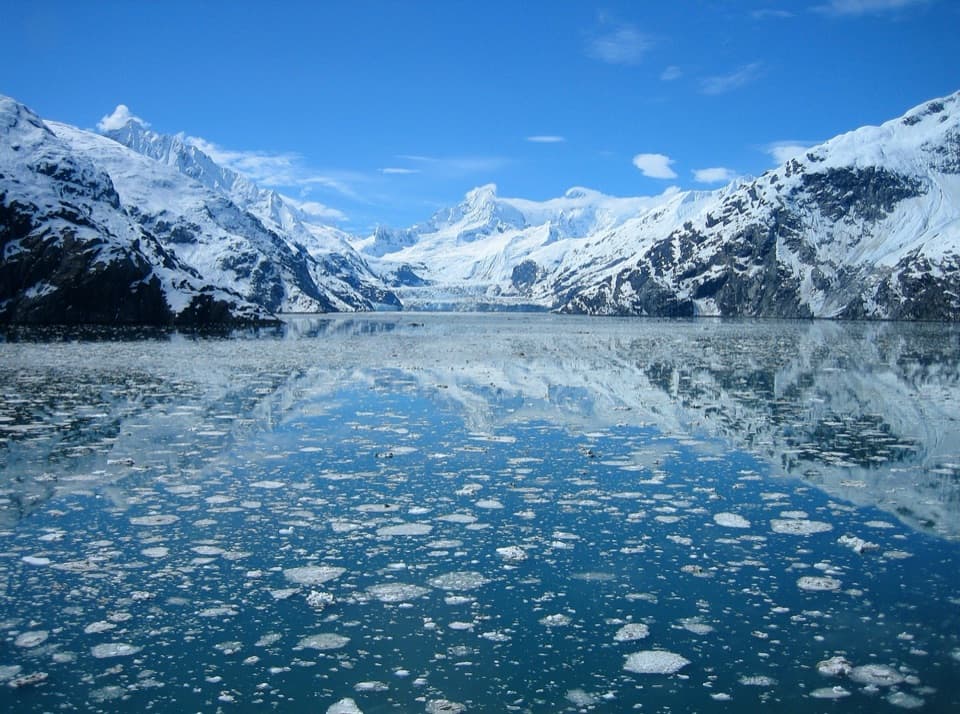
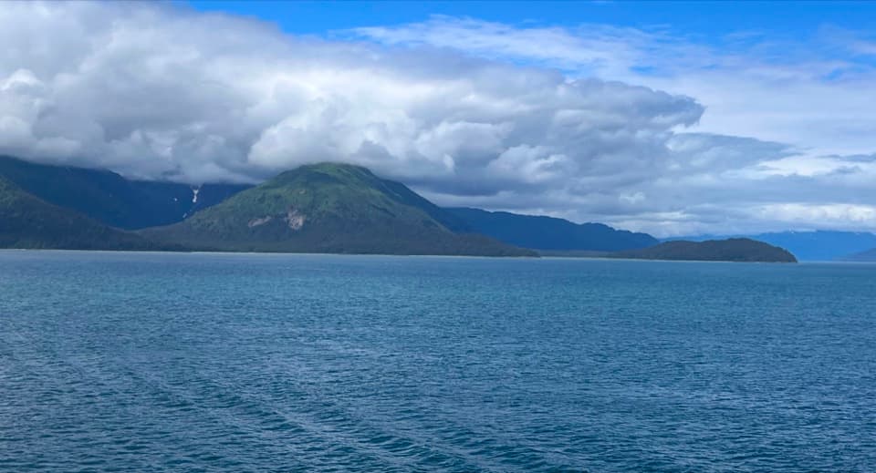
Take in the whole inletFrom the water, the low, forested island sits against a much higher mountain shore.

From the water, the low, forested island sits against a much higher mountain shore. Keep the island small in the frame with water and shoreline around it; the broad view shows its setting better than a close crop.

Wildlife

Wildlife in Glacier Bay

All Glacier Bay wildlife maps

Sighting maps show where each species has been reported across Glacier Bay. Wildlife moves, so no sighting is guaranteed.

Parkwolf’s Glacier Bay ranking

Top sights in Glacier Bay

All 33 places
  1. 1Margerie GlacierSight
  2. 2Johns Hopkins GlacierSight
  3. 3South Marble IslandSight
  4. 4Xunaa Shuká Hít (Huna Tribal House)Sight
  5. 5Gloomy KnobSight
  6. 6Lamplugh GlacierSight

Take Parkwolf to Glacier Bay.

The audio tour guide for the drive, plus offline maps, trails, and wildlife heatmaps for when the signal drops.

4.7 from 8,600+ ratings

Download Parkwolf on the App StoreGet Parkwolf on Google Play