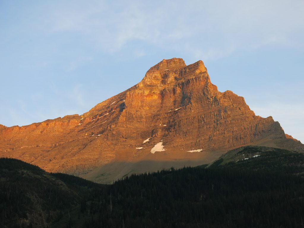
Pros & cons
PROS
- One of the park’s six 10,000-foot summits with sweeping views
- Wild, remote setting with Old Sun Glacier draped on its flanks
CONS
- Long, multi-day approach (12–15 miles to base camps)
- Loose rock and occasional exposed moves near the summit
- Grizzly bears are commonly encountered on the approach
Overview
Mount Merritt (10,004 feet) is a serious, rewarding objective in Glacier’s far‑northeast backcountry. It’s the shortest of the park’s six 10,000‑foot peaks, but don’t be fooled—its views are enormous and the setting feels truly wild. Expect big days, sparse crowds, and a summit panorama that makes the effort worth it.
What You’ll See
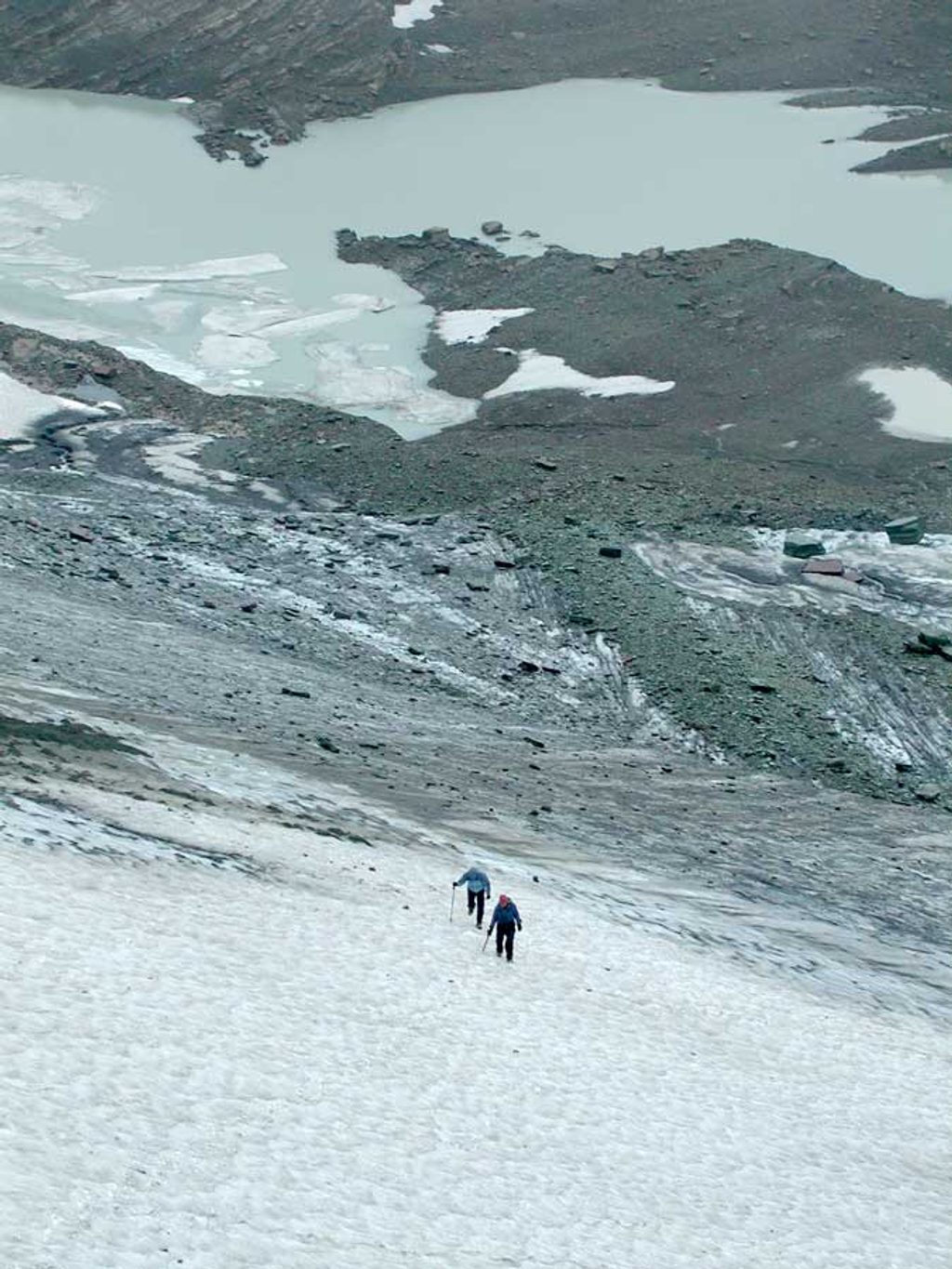
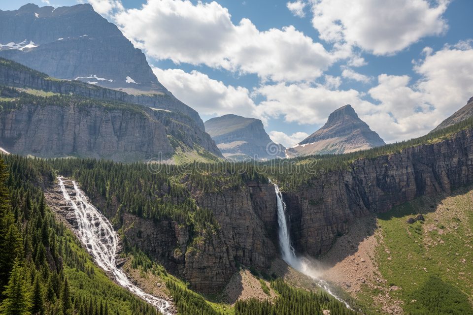
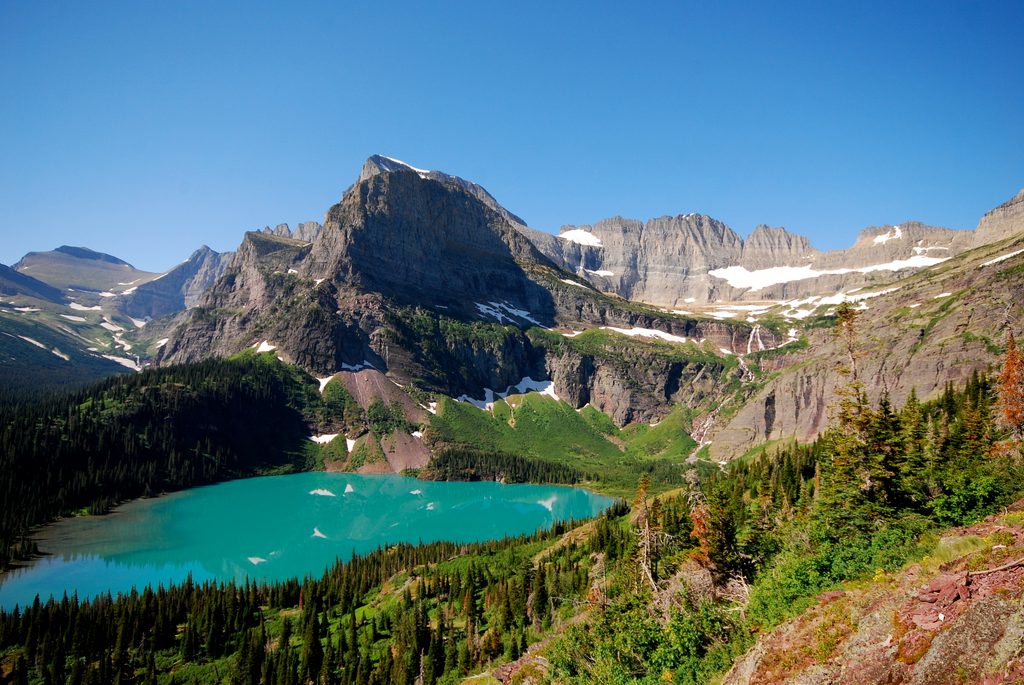
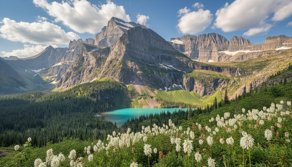
From the upper ridge, you’ll look across serrated Lewis Range summits, hanging basins, and the striking Old Sun Glacier plastered high on Merritt’s south/east side. On clear days the views stretch deep across the Belly River country. Smoke can creep in late summer, softening the vistas.
Getting There & Camps
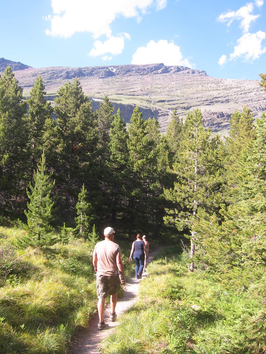
Most parties approach from the Belly River Trailhead near the international border and backpack to base camps before summit day. Common one‑way distances from that trailhead:
- Glenns Lake (Head) ~12.8 mi
- Mokowanis Junction ~13.3 mi
- Mokowanis Lake ~14.4 mi
Alternative approaches use the Ptarmigan Tunnel corridor toward Elizabeth/Helen Lakes (roughly 11–14 mi to camps). Backcountry permits are required for overnight trips.
Routes in Brief
- Northeast Ridge (standard): Mostly Class 2–3 with plenty of loose scree/talus and some route‑finding along ledges. Parties sometimes encounter a brief exposed Class 4 notch if tagging the highest of the multiple summit bumps. Early/mid‑season often holds a steep snow crossing high on the ridge—an ice axe is prudent until it melts out.
- Old Sun Glacier: A technical snow/ice climb from the Helen Lake side for experienced, roped parties with full glacier kits.
Effort & Timing
From a nearby backcountry camp, expect a long summit day with a big scree slog and careful navigation—10–12 hours round trip is common, though fast teams can move quicker. Many climbers plan 3 days total: hike in, summit, hike out.
Season & Conditions
Best window is mid/late July through September. Earlier than that you’re more likely to find firm snow where a slip would be consequential. Late season often means drier rock but potential wildfire smoke. Helmets are a smart call all season due to choss and party‑induced rockfall.
Wildlife & Hazards
This basin is classic bear country—grizzlies and black bears are regularly spotted on approaches and even high near saddles. Carry bear spray, give wildlife space, and be ready to wait them out. Other realities: loose rock, ball‑bearing scree, and lingering snowfields that demand good footwork and an axe when firm.
Geology (Why It Looks Like This)
Merritt’s sharp ridges and U‑shaped basins come from a mix of ancient Belt Supergroup sedimentary rocks uplifted along the Lewis Overthrust and later carved by Pleistocene ice. The Old Sun Glacier is a remnant of that icy legacy, shrinking in modern times and influencing late‑season snow and water patterns.
Logistics Notes
Approaches via Many Glacier can be affected by seasonal construction and shuttle changes; check current park notices before committing to the Ptarmigan Tunnel route. Regardless of approach, there’s no treated water beyond developed areas—filter every source.
Best Time to Visit
- When: Mid/late July–September for the best balance of melted snow and stable weather.
- Day of week: Weekdays see fewer parties on the approach trails and at backcountry camps.
- Start time: Pre‑dawn from camp to hit firm morning snow (when present) and dodge afternoon storms.
- Photography: Early and late light accents Old Sun Glacier and the north‑facing walls; clearer air tends to be earlier in the season.
Where it is
48.8703, -113.7865Tips for Mount Merritt
- 01Plan a 3‑day itinerary: hike in, summit from camp, hike out.
- 02Carry bear spray and expect bears on trail and near the saddle.
- 03Helmet is essential for loose rock; bring an ice axe until late season.
- 04Filter all water; there’s no treated water beyond developed hubs.
- 05From Belly River, Glenns Lake Head or Mokowanis camps set you up well for the NE ridge.
Near Mount Merritt
All places →All trails →
1.4 mi awayMokowanis LakeRemote turquoise lake with big walls and scarce campsitesScenic Viewpoint · Campground
2.4 mi awayChaney GlacierA shrinking alpine glacier that tells climate change in real time
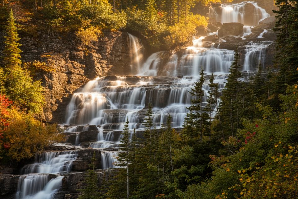
2.5 mi awayMokowanis CascadeRemote, multi-tiered backcountry waterfall on the PNT corridor
2.9 mi awayAtsina FallsA wild, no‑amenities backcountry waterfall for committed hikers
7.4 mi awaySwiftcurrent Nature TrailFlat lakeside loop with big-peak views and frequent mooseEasy · 2.6 mi · 1 hr
7.4 mi awayGrinnell Glacier TrailIconic Many Glacier climb to turquoise lakes and a shrinking glacierChallenging · 10.6 mi · 5.5 hr
7.4 mi awayGrinnell Lake TrailTurquoise lake stroll with boats, a swinging bridge, and Hidden Falls.Easy · 7.8 mi · 2.7 hr
7.4 mi awaySwiftcurrent Lake TrailFlat lake loop with Many Glacier peak views and good moose oddsEasy · 2.6 mi · 1 hr