
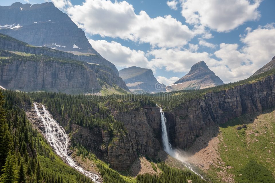
Place · 0.5 mi away
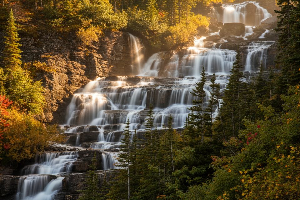
Mokowanis Cascade is a striking, multi-tiered waterfall deep in the park’s north, fed by the Mokowanis River flowing out of Mokowanis Lake. It drops roughly 480 feet in total and sits near Atsina Lake in a remote, wild basin. If you like your waterfalls with solitude and big country, this one delivers.
The cascade’s tiered form comes from glacial carving of steep valleys, exposing colorful layers of ancient bedrock—argillite, limestone, and quartzite—dating back over a billion years. The juxtaposition of red and gray strata with whitewater makes it a compelling photo subject from multiple angles.
This is backcountry-only. Most hikers reach the Mokowanis basin via the Belly River/Waterton Valley and Stoney Indian Pass network, or as a segment of bigger itineraries that pass Mokowanis Lake (MOL) on the way to or from Stoney Indian Pass. Approaches from Many Glacier often route via Ptarmigan Tunnel to Elizabeth Lake and onward to the Mokowanis area. Expect a full-value backpack, not a quick day jaunt, and plan your camp sequence in advance.
Winter travel here is not practical for most visitors.
This is prime bear country (both grizzlies and black bears). Carry bear spray, make noise, and follow all food storage rules. Weather changes quickly; pack layers, and if you’re traveling early/late season, be ready for lingering snow or firm morning ice on higher passes.
Overnights require a backcountry permit with designated camps (Mokowanis Lake is a popular one). Half the sites are typically reservable in advance and half released for walk-up—verify current rules before you go. There are no services en route, so treat water, pack out trash, and expect basic or no facilities beyond the trailheads.
If you’re already planning a backpack in the Belly River–Stoney Indian corridor, absolutely. As a standalone destination, it’s a long haul—but the combination of a big, beautiful cascade, remote lakes, and a true backcountry vibe makes it a rewarding objective for prepared hikers.
Mornings offer calmer winds, softer light on the tiers, and a head start on afternoon storms and crowds (not that you’ll see many out here).
Place · 0.5 mi away
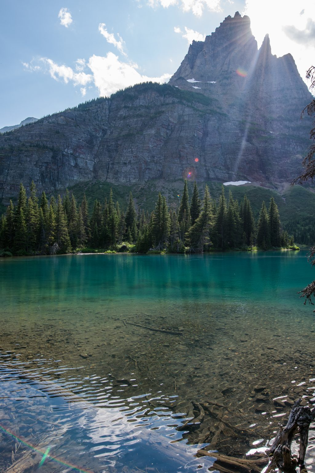
Place · 1.2 mi away
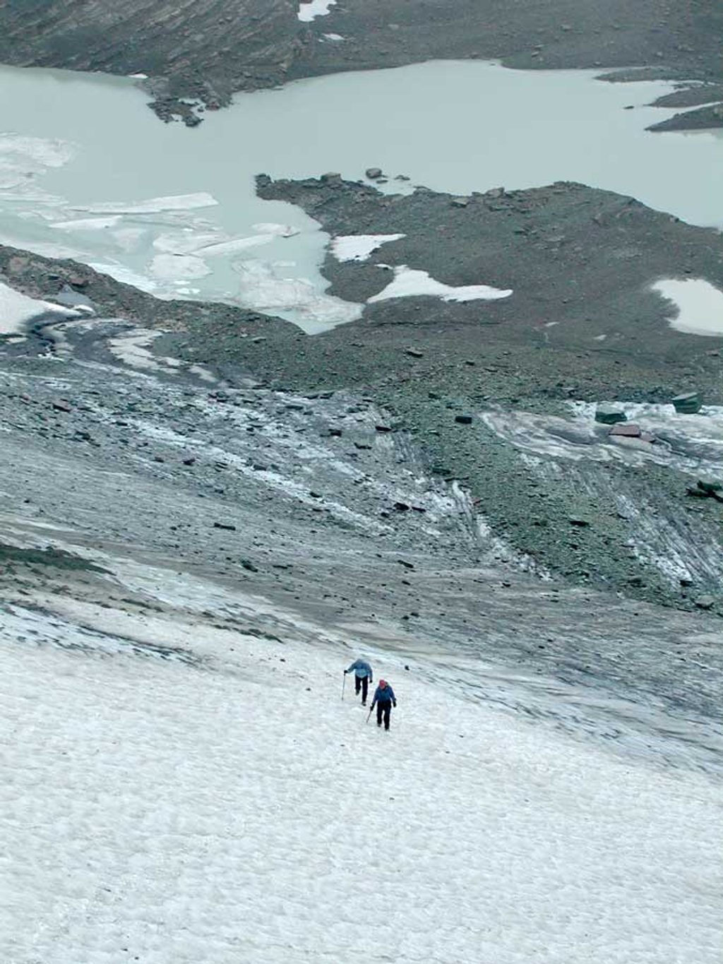
Place · 1.8 mi away
Place · 2.5 mi away
Challenging · 6.1 mi away
Challenging · 6.1 mi away
Challenging · 8.6 mi away
Challenging · 8.6 mi away

Parkwolf Tour Guide
