
Place · 0.5 mi away
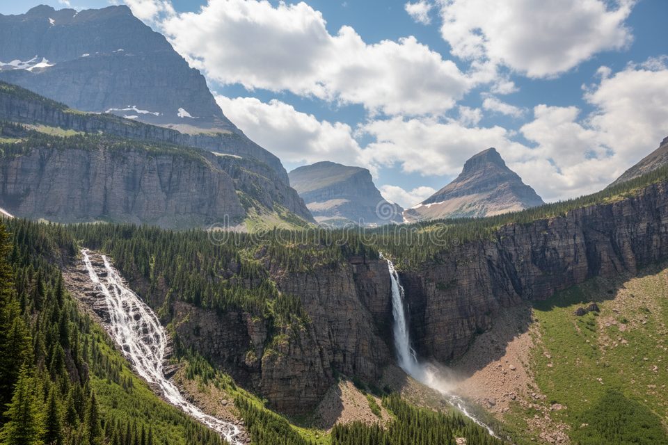
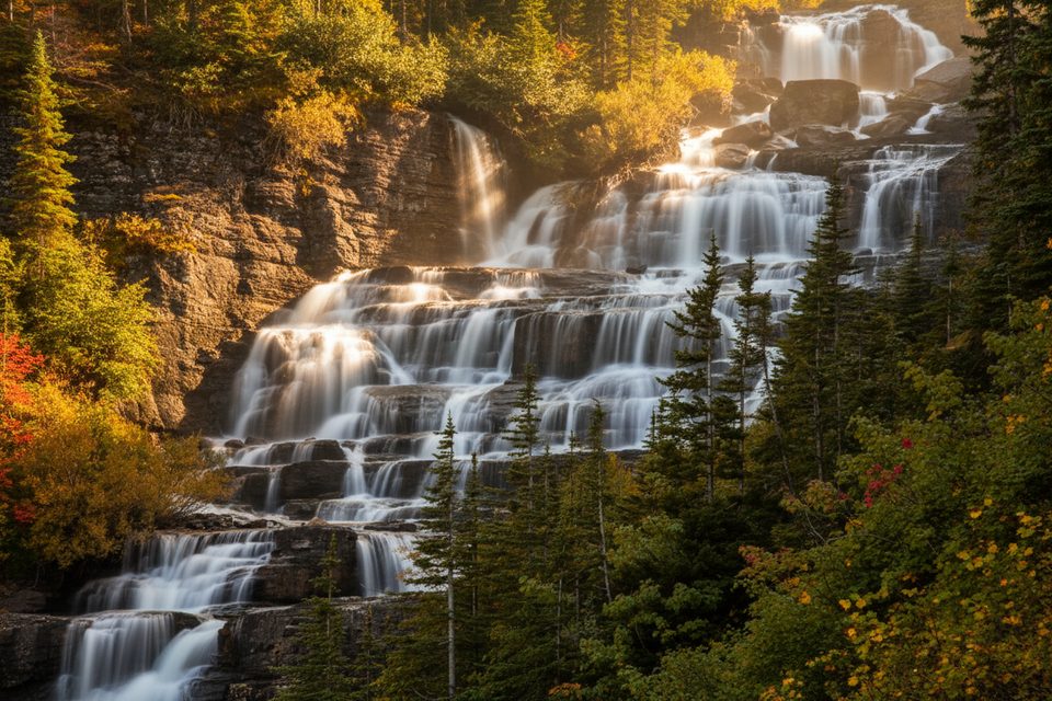
Atsina Falls is a remote backcountry waterfall tucked away in the wild heart of the park. Expect solitude, big scenery, and zero services—this is a destination for hikers who like earning their views. Routes to the falls are rated from moderate to hard, and they can be woven into ambitious itineraries that also pass Atsina Lake, which feeds the falls.
There is no dedicated parking, water, or restrooms at the falls. You’ll park at a developed trailhead elsewhere (often in the Many Glacier area) and hike in. Nearby hubs like the Many Glacier Picnic Area, Many Glacier Campground, and Swiftcurrent Motor Inn area offer seasonal restrooms and basic services; Rising Sun along the road corridor has food and restrooms in season. Backcountry pit toilets exist only at designated backcountry camps—bring your own TP and pack out all trash.
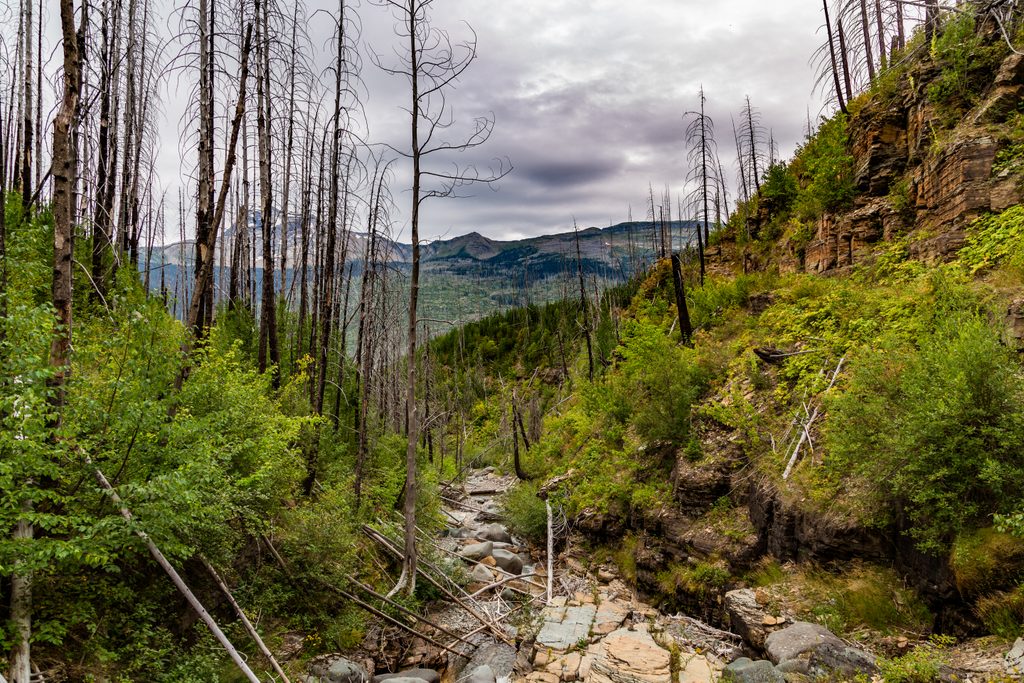
Beyond the cascade itself, the route in showcases the park’s striking red and green rock layers—colors born from ancient iron chemistry in the Belt Sea. Reds formed in oxygen‑rich settings; greens formed underwater without oxygen and later altered under pressure and heat. It’s a geologist’s color wheel framing a rugged, waterfall‑cut landscape.
Aim for a window when trails are snow‑free and stream crossings are reasonable. Start early from your trailhead to secure parking and to enjoy softer light on the waterfall and surrounding cliffs. Weekdays tend to be quieter; late afternoon can bring warm, side‑lit photos, but always leave ample time for the return hike.
Hikers comfortable with longer, more committing days or backpackers building a multiday loop (the famed North Circle Loop includes Atsina Lake along its course). If you want a drive‑up viewpoint with amenities, this isn’t your spot; if you crave wild, undeveloped corners, it’s a gem.
Place · 0.5 mi away
Place · 1.7 mi away
Place · 1.8 mi away
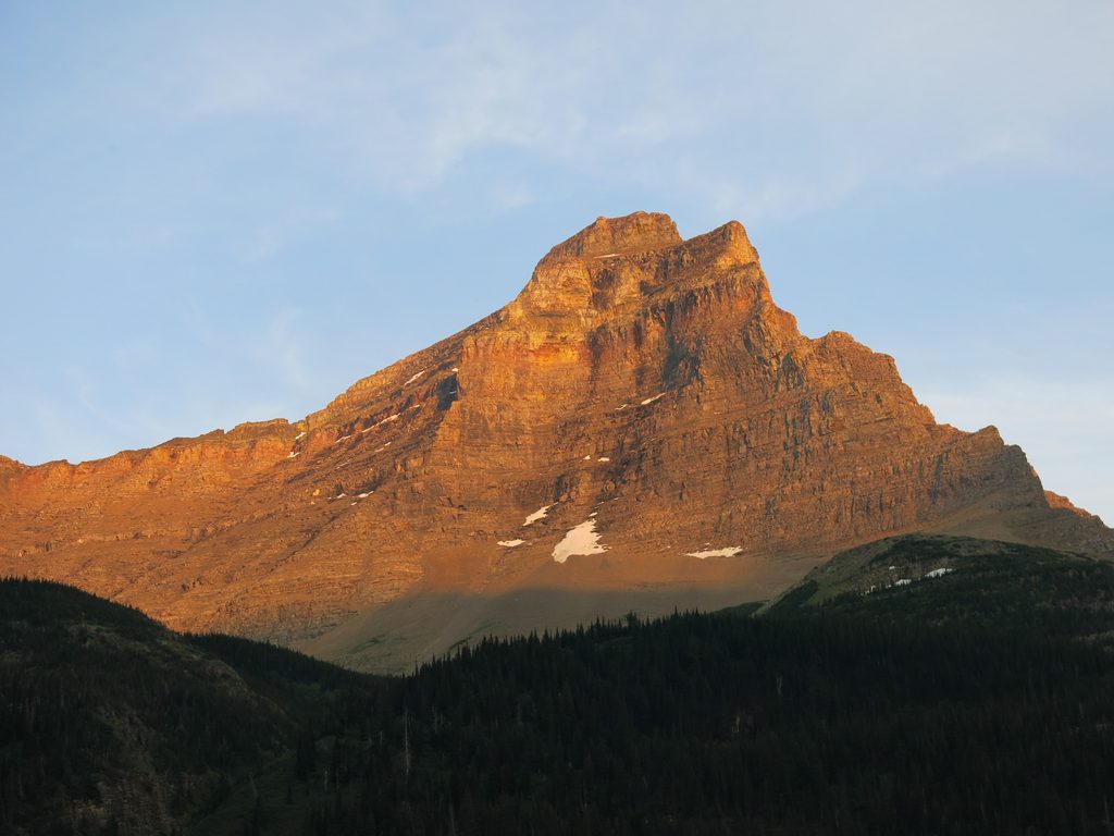
Place · 2.9 mi away
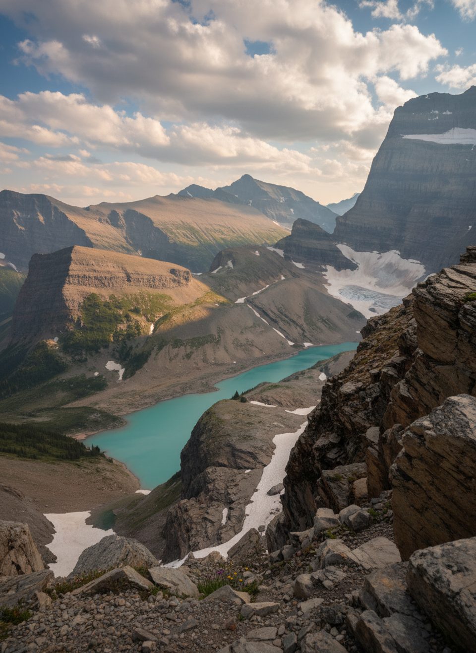
Challenging · 6.1 mi away
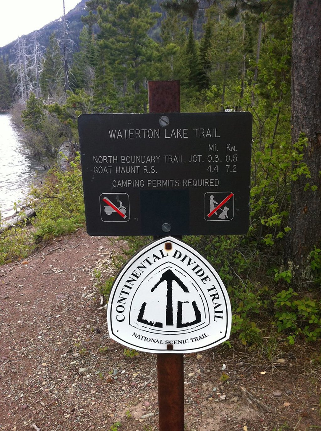
Challenging · 6.1 mi away
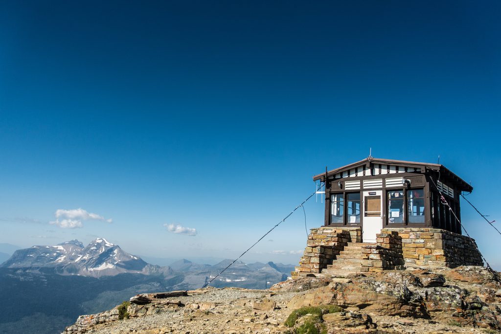
Challenging · 8.5 mi away
Challenging · 8.5 mi away

Parkwolf Tour Guide
