
Place · 1.2 mi away
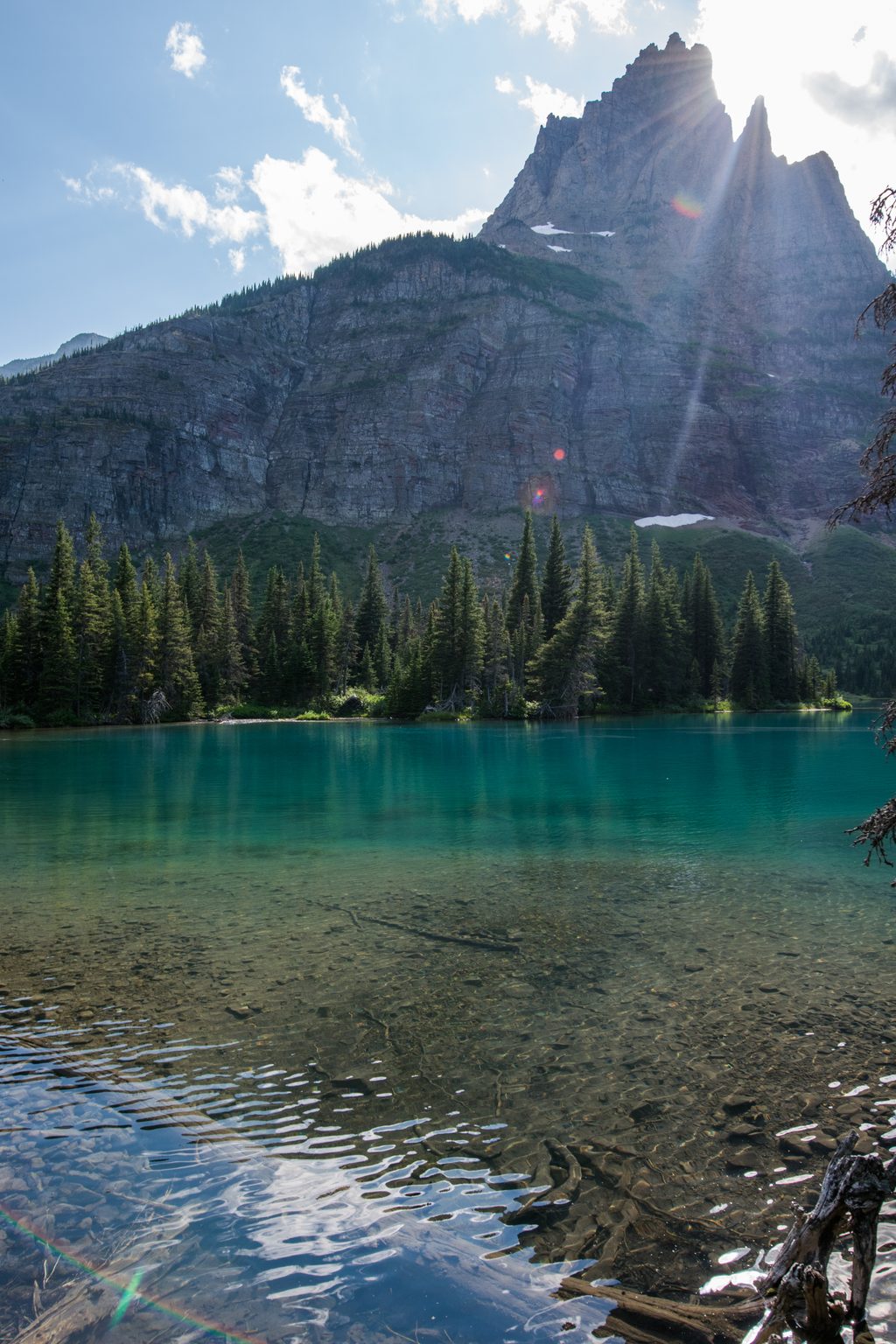
Mokowanis Lake is a quiet, blue-green alpine lake tucked deep in the Belly River country, beneath the steep walls around Pyramid Peak and within striking distance of Mount Merritt. It’s a true backcountry destination: serene, scenic, and far from roads, with only two designated camps that keep things peaceful.
The most direct on-foot route starts at the Belly River Trailhead on Chief Mountain Highway. You’ll descend into the valley, pass the Belly River Ranger Station (a seasonal suspension bridge is typically installed nearby), then follow the trail past Cosley and Glenns Lakes to Mokowanis Junction before a final mile to the lake. Expect about 14.4 miles one way. Early season and post-rain, the corridor can be muddy thanks to stock use, and parties commonly ford at the Cosley Lake outlet—cold, swift water is possible in runoff.
A higher, longer approach comes over Stoney Indian Pass from the Waterton/Goat Haunt side. It’s a stunner when clear, but lingering snow and steeper climbing make timing important. Historically, some started with a boat across Waterton Lake; confirm current border and boat operations if considering that option.
Mokowanis Lake’s backcountry camp is tiny—just two sites—with a designated food-prep area and a backcountry-style pit toilet. No campfires here. Nearby options include Glenns Lake (Head) and Mokowanis Junction (note differing campfire rules). Overnight stays require a backcountry permit; some sites are reservable in advance, with the remainder released as day-of walk-ins. In peak season, build a flexible plan and arrive early.
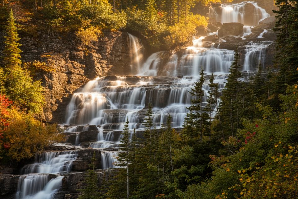
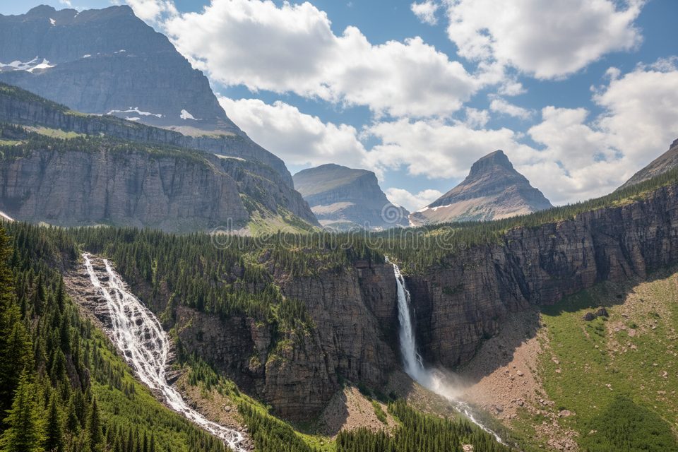
The classic side trip heads upstream toward a massive, thundering waterfall draining Margaret Lake. Confident parties sometimes use a cairned, off-trail route around cliff bands to reach the upper basin and the lake itself. Expect steep, loose sections and route-finding—turn back if unsure. The area also sets you up for longer valley rambles and photography around Glenns Lake and the Mokowanis headwall.
This corridor is rich with wildlife, including both grizzly and black bears and frequently moose. Thick brush and the roar of creeks reduce visibility and sound—travel in a group, make consistent noise, carry bear spray, and use designated food storage. Give all wildlife a wide berth.
Early to mid-summer brings brushy trails, mud, lingering snow on higher passes, and higher, colder fords. Late summer into early fall usually means clearer trails, lower creeks, and better odds of stable weather—but colder nights. Always check current trail status, advisories, and ford conditions before you go.
Mokowanis shines on calm mornings, with blue-green water and big headwall views. Nearby Glenns Lake can deliver mirror reflections of Pyramid Peak at sunrise if winds cooperate, though shoreline willows may have you wading for the best angles. The big waterfall toward Margaret Lake offers powerful compositions—use care on wet rock.
Aim for late summer through early fall for lower water and clearer passes. Start hiking early for cooler miles and better wildlife awareness, and plan overnights midweek when permits and camps are a bit less competitive. Mornings offer the best light and calm for reflections; afternoons often bring wind and building clouds.
Place · 1.2 mi away
Place · 1.4 mi away
Place · 1.7 mi away
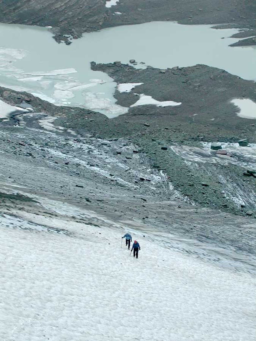
Place · 2 mi away
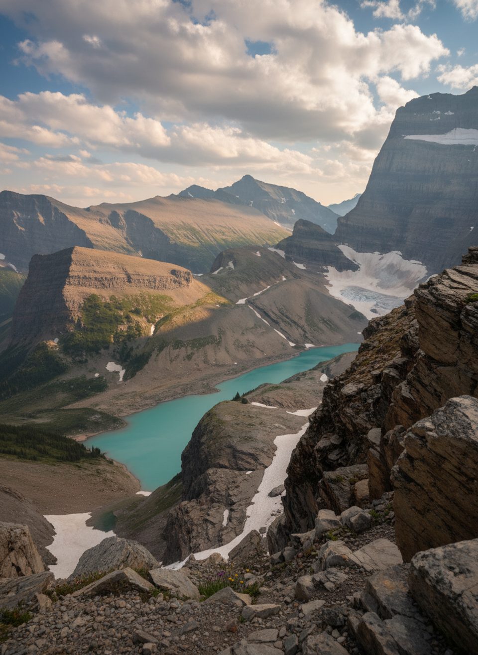
Challenging · 6.5 mi away
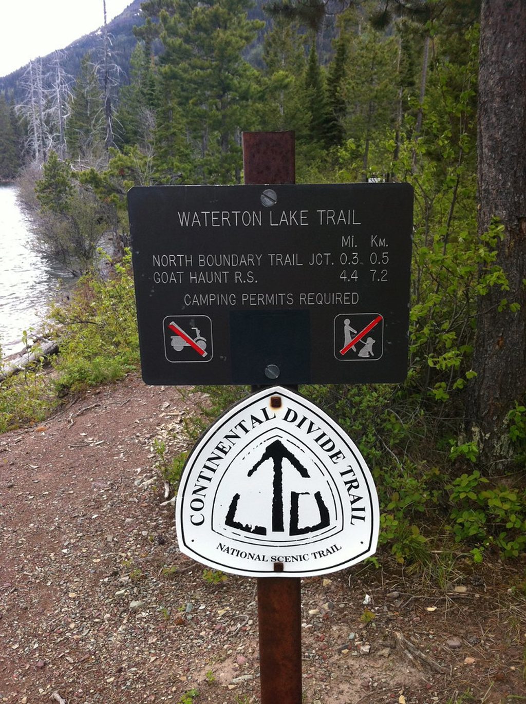
Challenging · 6.5 mi away
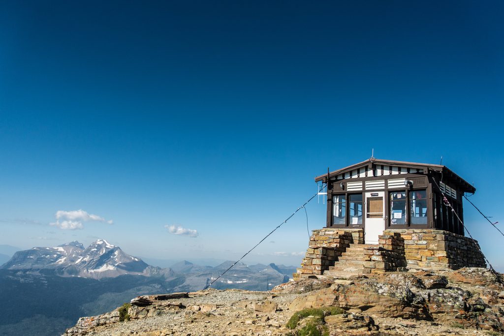
Challenging · 8.6 mi away
Challenging · 8.6 mi away

Parkwolf Tour Guide
