
Place · 2.2 mi away
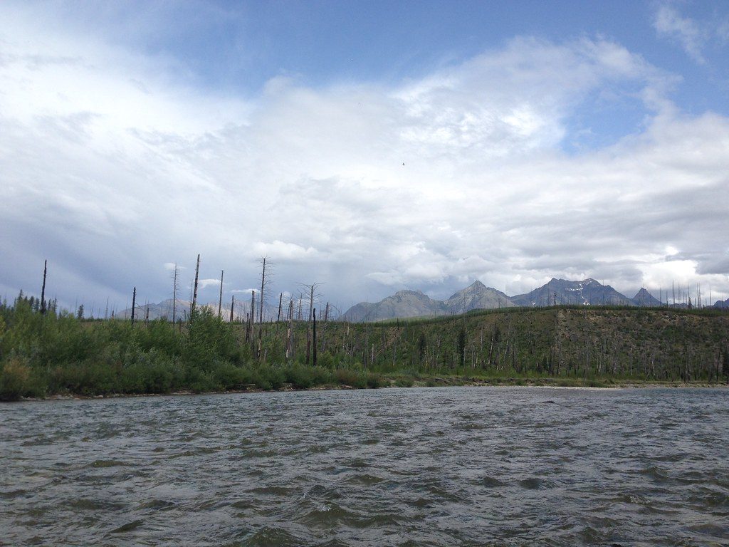
The North Fork Flathead River is Glacier’s wild west edge—literally. The river flows south from Canada along the park’s boundary, broad and glacial‑blue thanks to suspended “flour” ground by ice. It’s a quieter, more self‑reliant corner of the park, with long views to snow‑rimmed peaks and a true backroad vibe.
Expect a big, braided river with gravel bars and clear views into the park. Typical day floats run Class II (season and flow dependent), with favorite segments like Big Creek to Glacier Rim offering fun riffles and scenery. The color steals the show on sunny days.
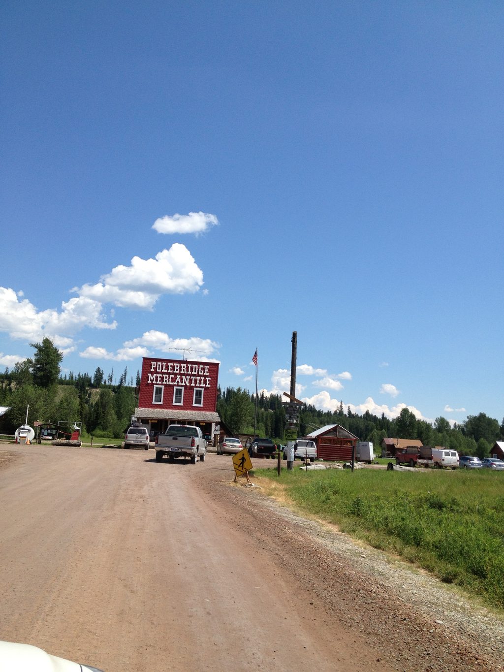
You’ll reach the river via the North Fork corridor. Outside the park, the North Fork Road is bumpy and dusty in summer; inside the park, the Inside North Fork Road is primitive and slow. Key access points include Ford, Polebridge, Big Creek, Glacier Rim, and Blankenship Bridge. Plan extra time—washboards are the norm and cell service is basically nonexistent.
Amenities are sparse. Select river access sites (e.g., Glacier Rim and Polebridge) have parking and vault toilets, but no potable water. Inside the park, small primitive campgrounds exist off the river corridor; most services are in the tiny community of Polebridge just outside the boundary.
Common day‑float legs include Border→Ford, Ford→Polebridge, Polebridge→Big Creek, Big Creek→Glacier Rim, and Glacier Rim→Blankenship Bridge, generally Class I–II/III depending on the segment and flow. Always check current hazards and levels before launching.
This is native fish country: westslope cutthroat trout and bull trout (release only), plus some non‑natives. Inside the park on the North Fork, you don’t need a state license, but you must follow river‑specific regulations: artificial only, treble hooks prohibited on the North Fork, release all native fish, and mind special closures (e.g., around Big Creek). On the west bank outside the park, a Montana license is required.
The corridor supports a classic northern Rockies cast: grizzly and black bears, moose, elk, river otter, beaver, and birds from bald and golden eagles to osprey and harlequins. Carry bear spray and store food properly.
Watercraft entering the park need an aquatic invasive species (AIS) inspection and a free park boating permit. No separate river‑use permit is required, but expect rules on human waste, fires, stay limits, and motorized use that differ between the park and national forest sides. In summer, a North Fork road reservation may be required to enter via Polebridge—plan ahead.
Late summer and early fall typically bring clearer logistics and friendlier flows for casual floating; spring runoff can be fast and pushy. Start early to snag parking and enjoy softer light. Anglers see cutthroat most active April–August, with bull trout migrating July–October (release only).
Place · 2.2 mi away
Place · 3.4 mi away
Place · 5.6 mi away
Place · 6.5 mi away
Easy · 3.4 mi away
Moderate · 7.1 mi away
Challenging · 7.1 mi away
Easy · 9.8 mi away

Parkwolf Tour Guide
