
Place · 1.7 mi away
Easy
A short, family-friendly loop off Camas Road, this trail was built after a 1967 fire to showcase post-fire forest recovery. Over the years, another burn damaged most of the exhibits, so there’s not much interpretation left—but you still get a quick stroll through living regrowth. Expect a roughly 1-mile loop (total) with minimal elevation, making it a fast leg-stretcher between bigger adventures.
The path winds through dense stands of young lodgepole pines (with some larch and aspen), a textbook example of how Glacier’s forests rebound after fire. That same regrowth now blocks most views and tends to limit wildflowers. Recent notes mention sections can be overgrown or muddy at times, and bugs can be pesky—bring repellent. If you came for sweeping vistas or a ton of on-trail education, this one will underwhelm; if you want a quiet, low-effort nature walk, it does the job.
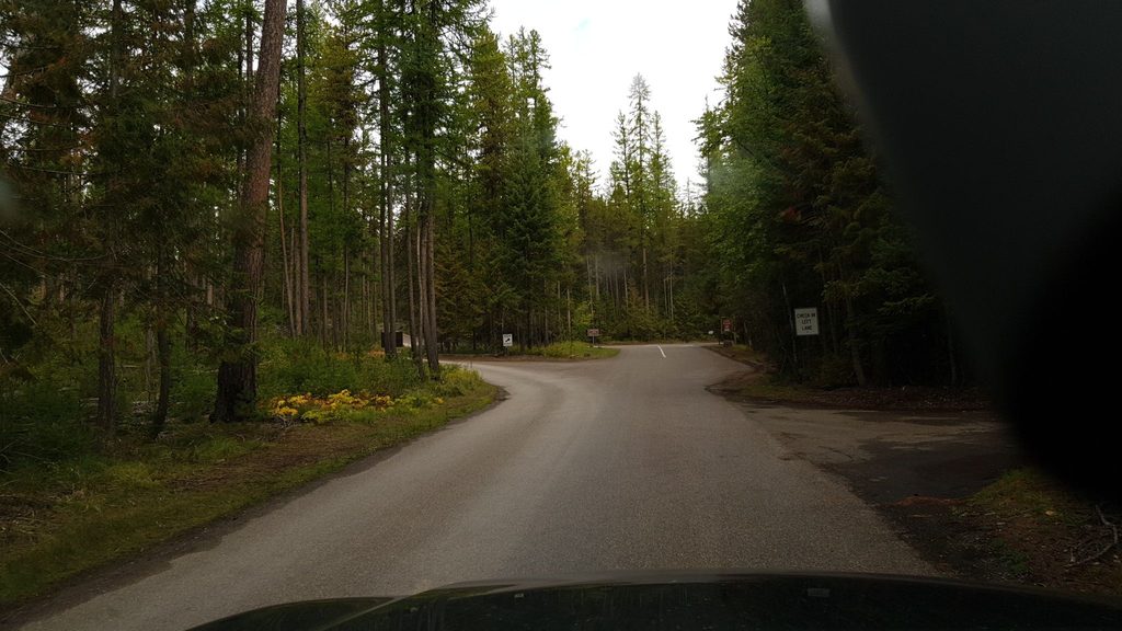
Parking is a small pullout off Camas Road near the Camas Creek Entrance. There are no toilets or water here; the nearest facilities are at Apgar/West Glacier. Cell service is spotty—download an offline map before you go. Carry bear spray and make noise, especially in late summer when bears may be more active in the area.
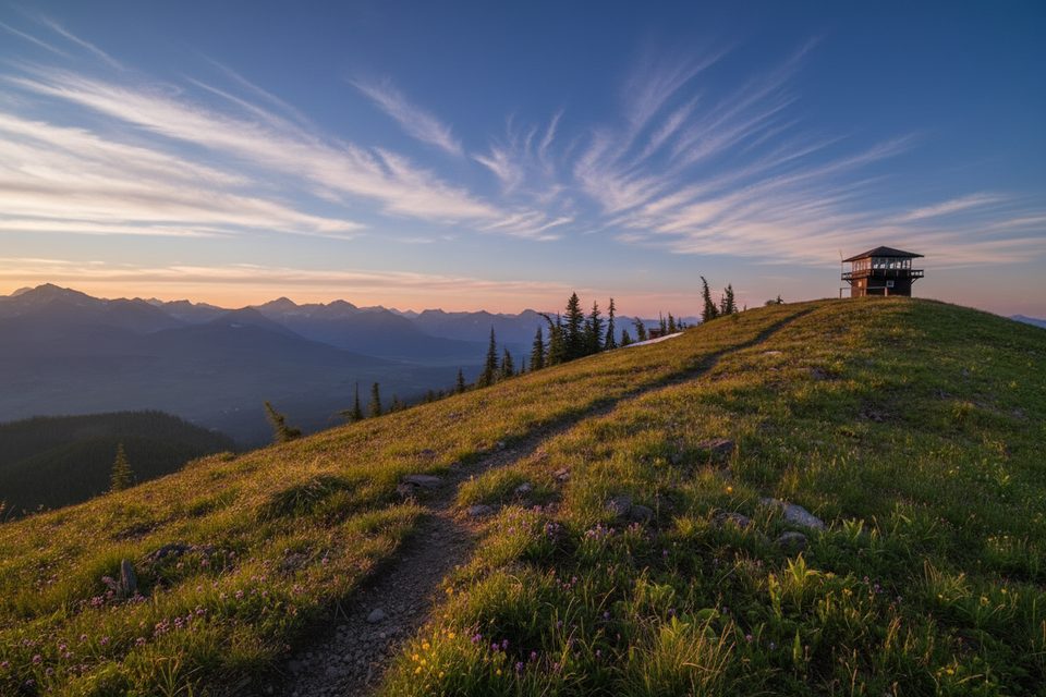
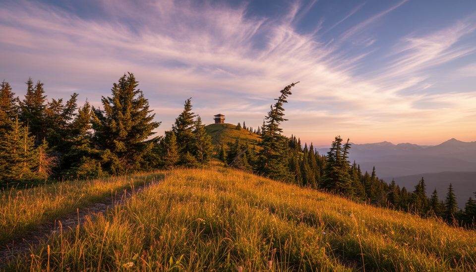
For a full-day payoff, the Huckleberry Mountain Lookout hike leaves from the same corridor: about 11.6–12 miles round trip and roughly 2,700 feet of gain to a historic, often staffed fire lookout with 360-degree vistas. That’s the one to choose if you want scenery and a workout; stick with the interpretive loop when you’re short on time or hiking with small kids.
This loop works as a quick stop whenever the Camas Road area is accessible. Aim for cooler parts of the day in summer and after recent dry weather to minimize mud. Morning and evening light can be lovely in the lodgepole stands, but bring bug spray if you linger.
Small pullout off Camas Road near the Camas Creek Entrance; no water or toilets. Nearest services at Apgar/West Glacier.
Limited interpretation and views; sections may be overgrown or muddy. Spotty cell service—download offline maps. Carry bear spray and make noise.
Place · 1.7 mi away
Place · 8.5 mi away
Place · 8.6 mi away
Place · 8.9 mi away
Easy · 4.8 mi away
Easy · 8.6 mi away
Challenging · 9.7 mi away

Moderate · 10.1 mi away

Parkwolf Tour Guide
