
Place
Challenging
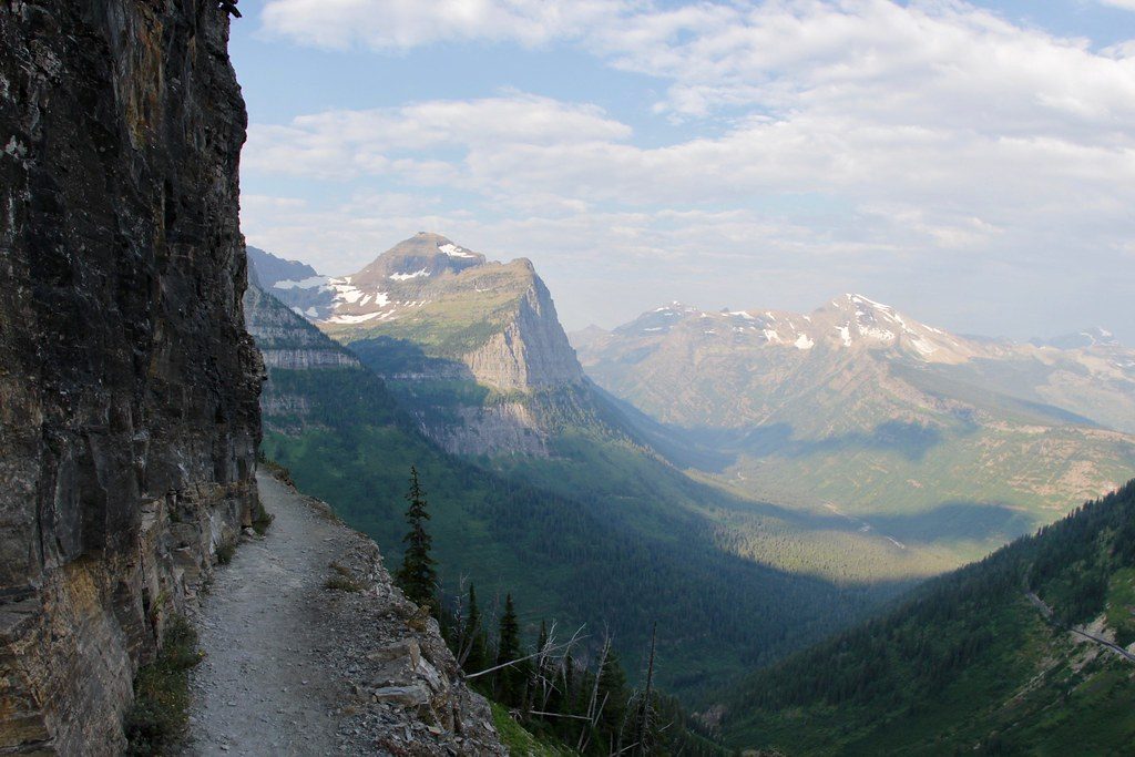
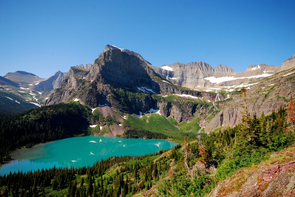
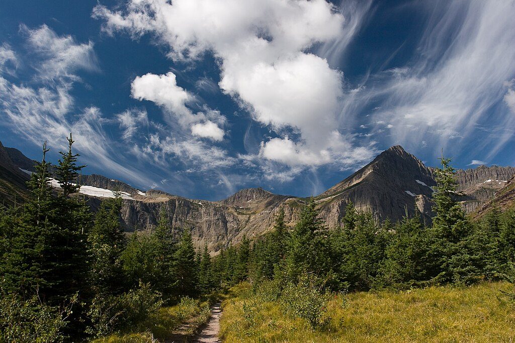
If you want a single-day, big-alpine payoff, this is it. Abbott Ridge is a hard, well-signed climb that trades mossy rainforest for high meadows and a narrow, dramatic ridge with nearly 360° views. Expect constant elevation gain, changing terrain, and nonstop scenery—glaciers draped over serrated peaks and a true ridge-top feel once you break into the alpine.
From Illecillewaet Campground, the trail passes the A. O. Wheeler Hut and the historic Glacier House ruins before switchbacking through ancient rainforest with giant old-growth trees. Around 2.2 km in (and ~425 m gained), you’ll reach Marion Lake—an excellent breather spot.
Above the lake the path splits: a shorter, steeper line and a longer, more gradual one. Either way, you’ll push through open alpine meadows into rockier, bouldery terrain as views expand over the Asulkan Valley and its glacier. The ridge unveils marquee sights: Vaux Glacier, the Illecillewaet Glacier, and the proud silhouettes of Mount Abbott, Mount Sir Donald, and Uto Peak. There’s an “end of trail” sign along the ridge; beyond it, the path continues onto blocky terrain that may require light scrambling and is not advised without the right skills and gear.
This is a sustained climb with significant elevation and some rocky footing—squarely “hard.” Strong hikers will love it; it can suit older kids who are experienced and motivated. Trekking poles are helpful for the long descent. Early season can mean lingering snow patches that complicate footing, especially on the longer branch and near the ridge.
Aim for mid-July through mid-September. Snow often lingers into July, and fresh snow can arrive by mid-September. Start early for cooler temps, calmer weather, and better lighting on the glaciers. Weekdays see fewer people. Even in summer, unstable snow can present avalanche concerns in transitional periods—always check current conditions.
Abbott Ridge is a “must-do” for strong hikers visiting Glacier National Park (BC): huge, close-up glacier views and a true high-ridge feel in a single day. The climb is relentless, snow can linger, and the optional ridge extension adds exposure—but if conditions and legs line up, the reward-to-effort ratio is outstanding.
Park at Illecillewaet Campground trailhead area off the Trans-Canada Highway; a Parks Canada entry pass is required.
Hard, sustained climb with rocky footing; lingering snow and avalanche concerns in transitional periods; exposed ridge beyond the signed end; active grizzly bear country—carry spray and know how to use it; limited water high on route.
Place
Place
Place
Place
Challenging
Challenging
Challenging
Challenging

Parkwolf Tour Guide
