
Place · 0 mi away
Challenging
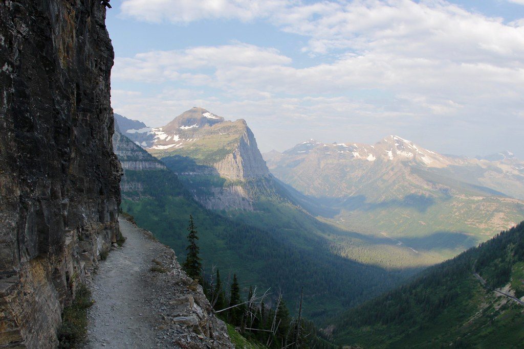
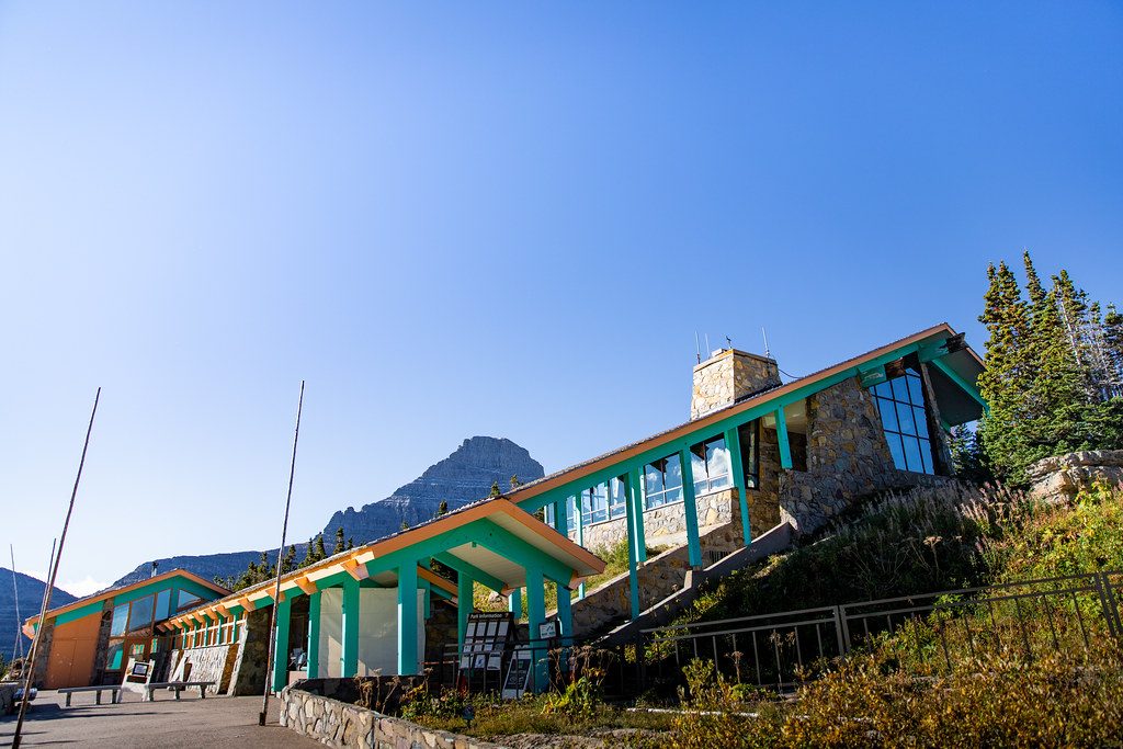
This is Glacier’s marquee traverse along the Garden Wall, starting across the road from the Logan Pass Visitor Center and typically finishing at The Loop. The most popular one‑way hike is about 11.8 miles (one way), with roughly 1,950 feet of total gain and a long descent at the end. Expect 6–8 hours for the standard point‑to‑point. If you’d rather avoid shuttle logistics, an out‑and‑back from Logan Pass to Granite Park Chalet runs about 14.9–15 miles total.
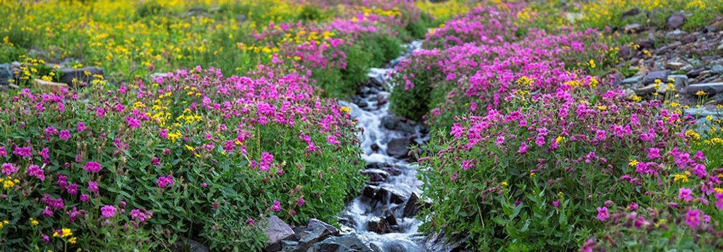
Within the first quarter mile you’ll tiptoe across a narrow ledge (about 6–8 feet wide) with a hand cable—short, airy, and unforgettable. Views explode immediately: Heavens Peak and the park’s west-side skyline dominate as you contour high above Going‑to‑the‑Sun Road. After a stout climb, Haystack Pass (around mile 3.6, ~7,024 feet) makes a perfect snack stop before rolling alpine benches guide you toward Granite Park. The trail’s high point reaches ~7,280 feet before easing down toward the historic Granite Park Chalet and, for the one‑way option, a final descent through the 2003 burn to The Loop.
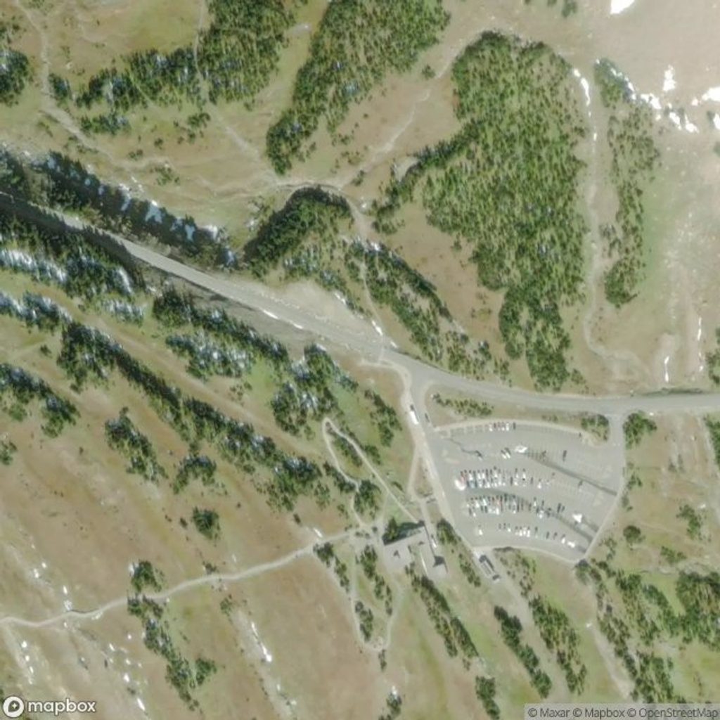
Logan Pass parking fills very early in peak season—think before 8 am, often much earlier—so the shuttle is your friend. Carry plenty of water; there’s no reliable on‑trail source until near Granite Park (and you’ll need to treat it). Poles help on the long, quad‑testing descent to The Loop. This route is exposed to sun and wind; bring layers, sun protection, and be ready for fast‑changing weather. The early cliff section is brief and cabled, but those with a fear of heights should know about it ahead of time.
You’re walking the spine of the Continental Divide where ancient limestone layers showcase fossil stromatolites—layered mounds built by early life—exposed by alpine glaciation along the Garden Wall. Wildlife is a highlight: watch for Mountain Goats and Bighorn Sheep, and know you’re in prime Grizzly Bear country. Make noise, hike in a group, and carry bear spray.
July through September is the sweet spot when Going‑to‑the‑Sun Road and the shuttle make access feasible. Early starts mean cooler temps, easier parking, and calmer winds. For photos, mornings put soft light on the west‑facing walls you’ll be staring at for miles. Summer afternoons can bring crowds and shuttle wait times—budget extra time if you’re finishing at The Loop.
Vehicle reservations are typically required to drive Going‑to‑the‑Sun Road in summer. Granite Park Chalet requires reservations for overnights and has no tap water; there’s a stream about a quarter mile away—treat everything. If you only have time (or nerve) for a taste, walk the first couple of miles and turn around—you still get the ledge, flowers, and big‑wall drama.
Best strategy: park at The Loop and ride the free park shuttle up to Logan Pass, then hike back to your car. Logan Pass lot often fills before 8 am in summer. A vehicle reservation is typically required to access Going-to-the-Sun Road in peak season.
Short but exposed ledge with hand cable near the start; prime grizzly habitat (carry bear spray, make noise); strong sun and wind on open slopes; minimal water until Granite Park; long, knee-taxing descent to The Loop through burn area brush.
Place · 0 mi away
Place · 0 mi away
Place · 0 mi away
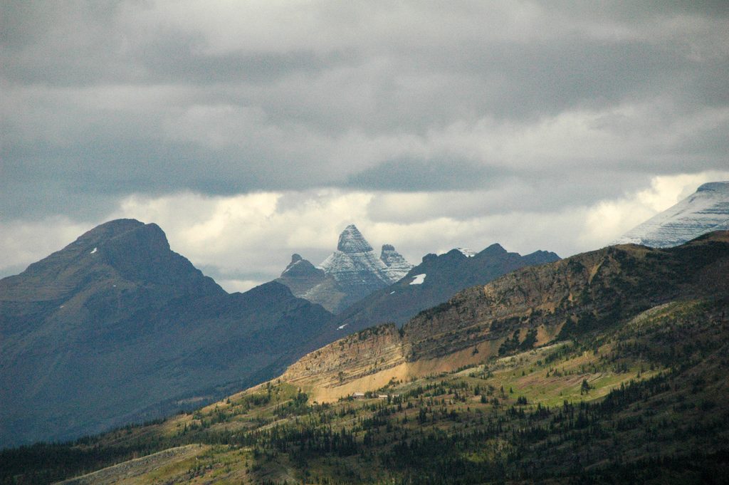
Place · 0.4 mi away
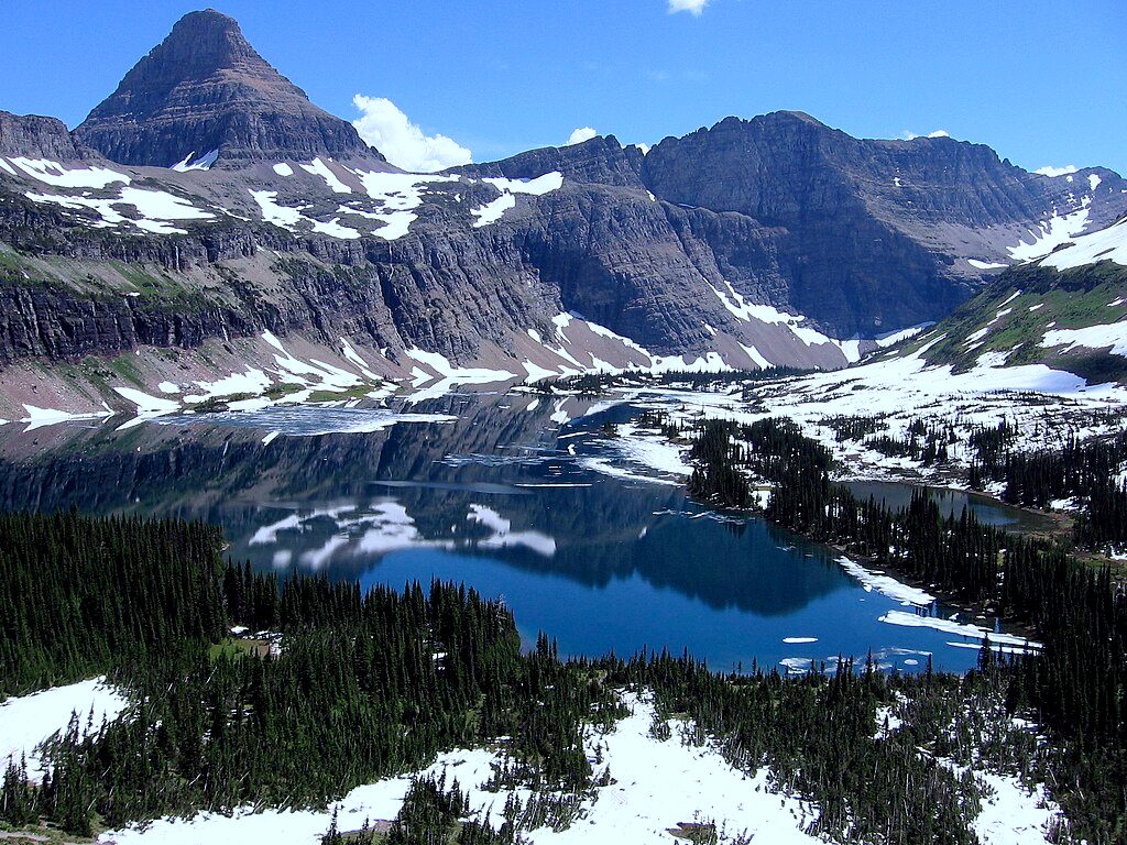
Moderate · 0.1 mi away
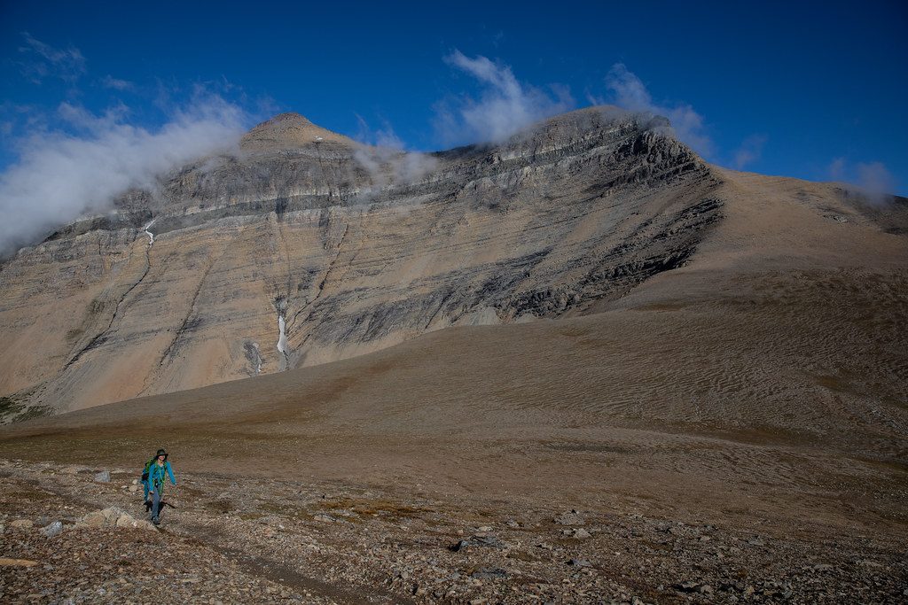
Challenging · 2.3 mi away
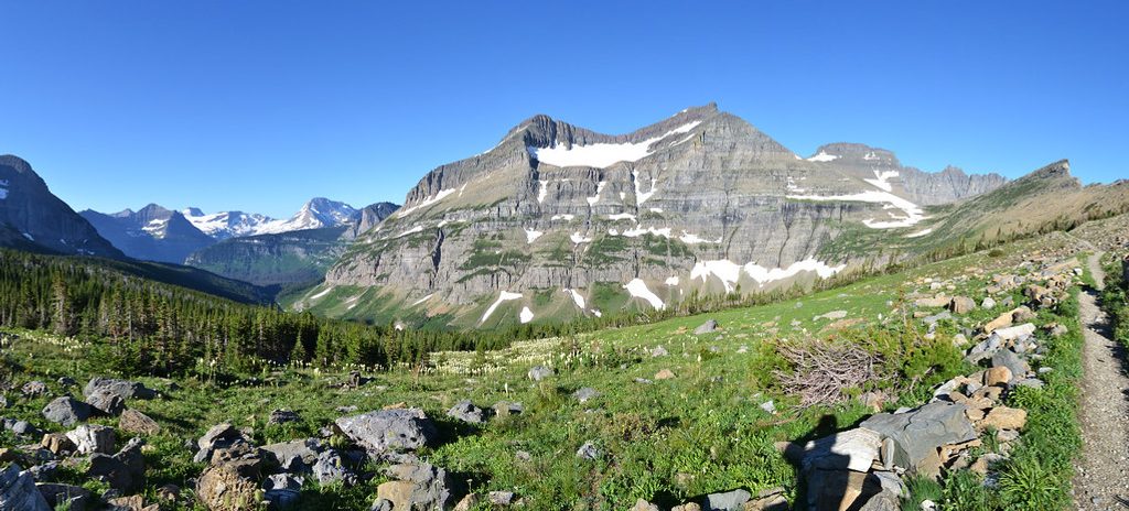
Moderate · 2.3 mi away
Challenging · 3.3 mi away

Parkwolf Tour Guide
