
Place
Challenging
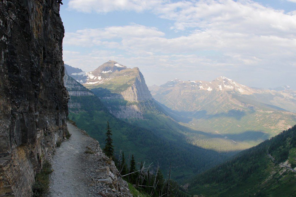
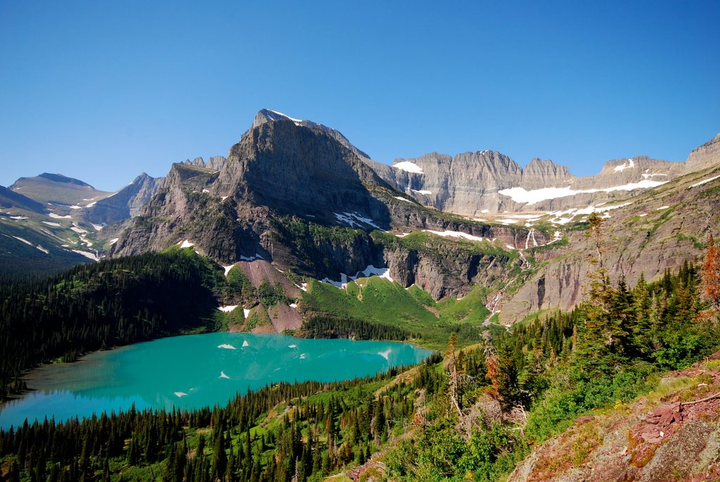
A true big-mountain day out: Asulkan Valley packs rainforest, waterfalls, wildflowers, and a dramatic finish high on a lateral moraine staring at glaciers. It’s a hard, out-and-back hike with roughly 8.9 miles round trip to the signed end of trail, or up to about 10.5 miles if you continue to the Asulkan Hut. Expect about 3,000 feet of gain and a 5–7 hour day, depending on pace and turnaround.
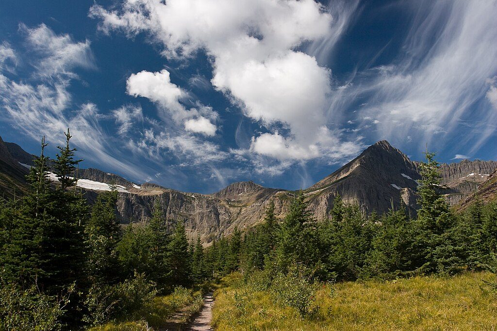
From the Illecillewaet Campground, the path meanders beside Asulkan Brook through old-growth hemlock–cedar forest, past the historic Arthur Wheeler Hut and the Glacier House ruins. A short early detour visits the “Meeting of the Waters,” where the brook meets the Illecillewaet—worth a few extra minutes. Around 1–2 km in, you’ll cross sturdy bridges and pass the signed junction where Glacier Crest splits off. As you climb, the forest gives way to subalpine meadows with broad valley views, constant cascades, and increasingly rocky tread close to the brook.
The character changes near the upper valley: after a small metal bridge the trail mounts a large lateral moraine. The final stretch is the crux—steep, narrow, and loose in spots along the moraine crest. The official trail ends on a small bump with panoramic glacier-and-peak views; many hikers continue a short distance farther to the Asulkan Hut area for an even bigger panorama.
This is rated hard, mostly because the elevation is backloaded and the moraine crest feels airy. If steep, narrow, and loose footing makes you nervous, the descent will demand full attention. Fit hikers who like sustained climbing and alpine terrain will love it; trekking poles pay off here.
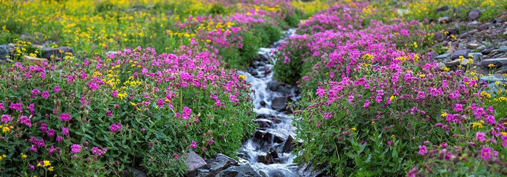
Watch for hoary marmots on the rocks and ptarmigan in the meadows; bears are common in this valley, so carry spray and make noise. You’ll walk a classic rainforest-to-alpine transect—big cedars and hemlocks down low, wildflower meadows mid-route, then raw glacial geology up high. The moraine you climb is built from debris pushed by the Asulkan Glacier—an on-the-ground lesson in how these valleys were carved.
Late spring through early fall is prime, when meadows pop and the upper trail is snow-free. Clear weather makes the glacier views sing, and mornings are quieter with better light down the valley. This valley sees periodic bear-related closures—always check notices at the trailhead and obey signs.
If you like the sound of moraine-top glacier views but want a different angle, the nearby Glacier Crest Trail splits off early and climbs to big views of the Asulkan and Illecillewaet glaciers—another excellent, steep day out.
Park at the Illecillewaet Campground day-use lot; it often fills by mid-morning—arrive early. Roadside overflow parking is common on busy days.
Final moraine is steep, narrow, and loose; poles recommended. Bears are common—carry spray and heed closures. Do not continue beyond the hut area toward Asulkan Pass without proper mountaineering skills and gear.
Place
Place
Place
Place
Challenging
Challenging
Challenging
Challenging

Parkwolf Tour Guide
