
Place
Challenging
Avalanche Crest is a short-but-steep classic that rockets from rainforest to ridge in just 5.4 miles round-trip. Starting near Illecillewaet Campground, the path climbs hard from the first step and doesn’t really let up until you’re standing on the crest staring at glaciers and the Rogers Pass skyline. Expect roughly 3,057 feet of elevation gain—this is a sustained workout with a massive alpine payoff.
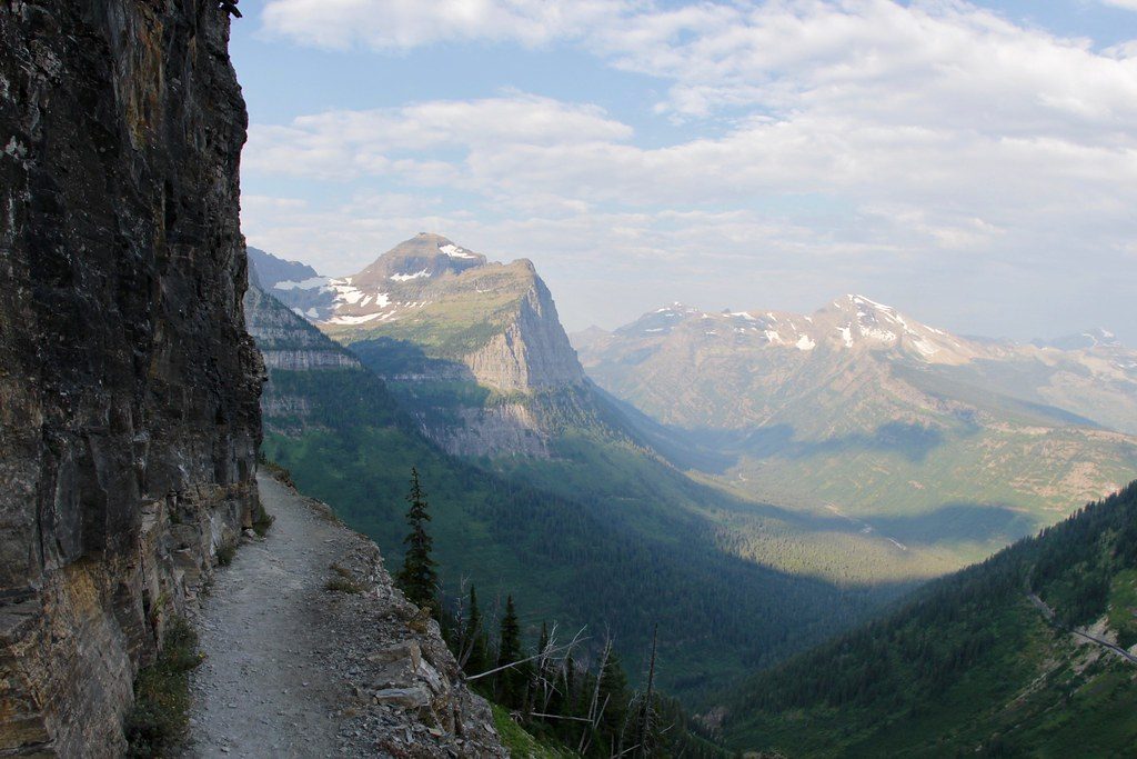
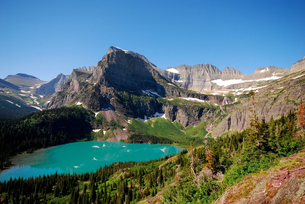
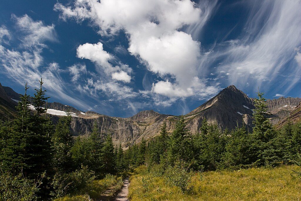
The lower miles wind through lush cedar–hemlock forest before the trail breaks into an alpine bowl with glimpses of nearby ice. Mount Sir Donald stands watch for much of the climb. From the crest, you’ll get sweeping, 360-degree views over Rogers Pass and neighboring peaks, plus excellent perspectives on the park’s glaciers.
This is an out-and-back to the crest. The initial climb is immediate and steady, the mid-route traverses an alpine bowl, and the final push steepens again to gain the ridge. Near the top there’s an informal split along the ridge toward Avalanche Mountain—only continue if conditions are dry and you’re comfortable with more technical terrain; otherwise soak up the views and turn around.
Make no mistake: this one is steep and sustained, with a touch of upper-route spice. Fit hikers who enjoy big elevation in a short distance will love it; those seeking a mellow wander won’t. Plan on a half-day because the grade—and the views—slow you down.
Snow can linger into early season, making the path slippery. Aim for June through October for the most reliable footing, with midsummer offering the driest, buggiest conditions and later season often delivering crisp air and clearer views. Start early for cooler temps and calmer light on the glaciers.
Early season snow patches and lingering ice can make steep sections slick; traction and cautious footwork are key. The optional ridge continuation is not an official route and becomes more technical—turn back if it feels beyond your comfort or if weather is shifting.
Length is 5.4 miles total (out-and-back) with about 3,057 feet of gain.
Park at the Illecillewaet Campground trailhead off the Trans‑Canada Highway (BC‑1) in the Rogers Pass area east of Revelstoke.
Steep, sustained climbing with slick early-season snow; average signage; and an optional, non‑official ridge extension that becomes technical—turn around if exposed terrain or conditions feel unsafe.
Place
Place
Place
Place
Challenging
Challenging
Challenging
Challenging

Parkwolf Tour Guide
