
Place
Challenging
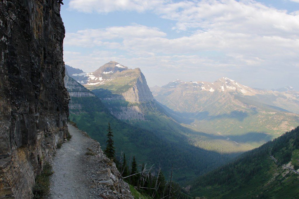
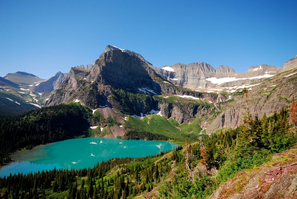
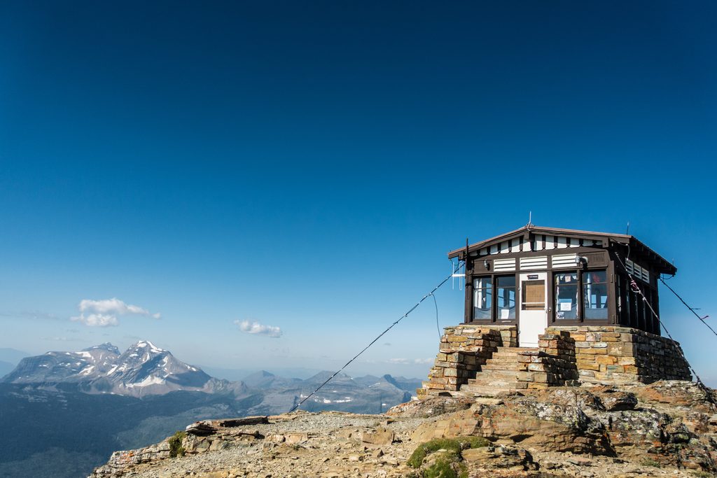
Firebrand Pass is a moderate-to-strenuous out-and-back to a high, wind-swept notch on Glacier’s quieter south/east side. It’s roughly 10.2 miles total (round trip) with about 1,950–2,037 feet of elevation gain, topping out near 6,951 feet. Expect solitude, sweeping views, and real alpine weather.
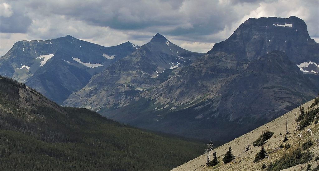
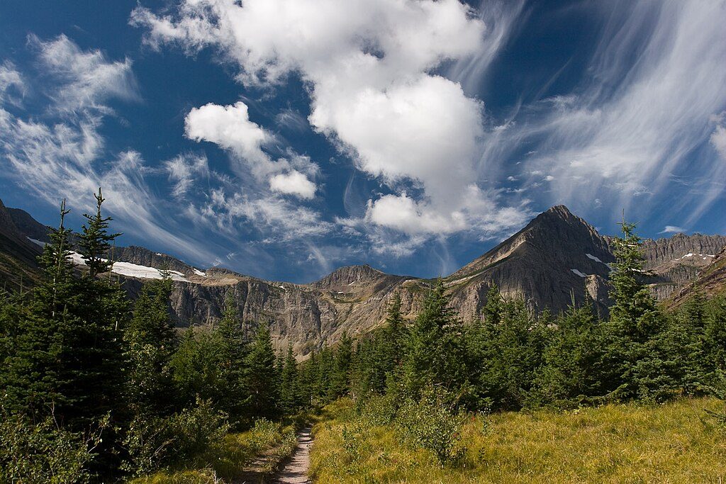
From the Lubec Trailhead, you’ll stroll through broad grassy meadows and aspen parklands—a prairie-to-montane transition zone with long views toward Little Dog, Summit, and Calf Robe Mountains. The path then rises into mixed aspen and pine forest with intermittent flower-filled meadows, before curving around Calf Robe Mountain. As you gain the east-facing slopes of its north ridge, the country opens up—watch for views toward Dancing Lady Mountain.
Around 3.9 miles the trail wraps through talus with Red Crow Mountain dominating ahead. The final push climbs rocky meadows and switchbacking talus to the pass. At Firebrand Pass, the payoff is big: commanding vistas into the Ole Creek drainage with Skeleton Mountain nearby and the skyline stacked with Barrier Buttes, Brave Dog Mountain, and Sheep Mountain. It’s almost always windy up here—bring a shell even on hot days.
Navigation is straightforward: at about 1.5 miles turn right onto the Autumn Creek trail toward Firebrand Pass; at about 2.5 miles, stay left at the junction to continue toward the pass. The standard outing is to tag the pass and return the same way for the 10.2-mile day. Alternative return options in the basin exist but require route-finding experience.
These aspen wetlands and meadows support a lot of life—beavers, moose, mountain lions, bears, abundant birds, and even wolves use the area. In the open slopes, scan for sheep and goats on surrounding hillsides.
Snow can linger below the pass well into the season, including cornices that may block the main line. Steeper alternative tracks sometimes bypass these, but only if you’re confident on snow and loose rock. The pass is notoriously windy—55 mph gusts have been recorded—so secure hats and layers. Sections can be brushy/overgrown. Cell service is unreliable; download an offline map. There’s no dependable water once you’re on the open ridge—filter before you climb.
Mid to late summer offers the most reliable access as high-country snow recedes, with wildflowers in season. Early summer can bring mud down low and lingering snowfields up high; fall is fantastic here thanks to golden aspens and clearer air, but be ready for early storms and short days. This is an exposed, windy pass, so morning starts typically give steadier weather and kinder light.
The trail starts from the Lubec Trailhead off US Highway 2 near mile marker 203; the pullout is easy to miss, and you’ll carefully cross railroad tracks to reach the signed trail. Bring warm layers, rain gear, sun protection, food, and plenty of water. Long pants help in brushy stretches. Check the park’s trail status page before you go. No pets on park trails.
Small, easy-to-miss pullout at the Lubec Trailhead off US Highway 2 near mile marker 203; park, then carefully cross the railroad tracks to the signed start.
Expect very strong winds at the pass; lingering snow and cornices into summer; brushy stretches; unreliable cell service; no water beyond the ridge; careful railroad crossing at the start.
Place
Place

Place
Place
Challenging
Challenging
Challenging
Challenging

Parkwolf Tour Guide
