
Place
Challenging
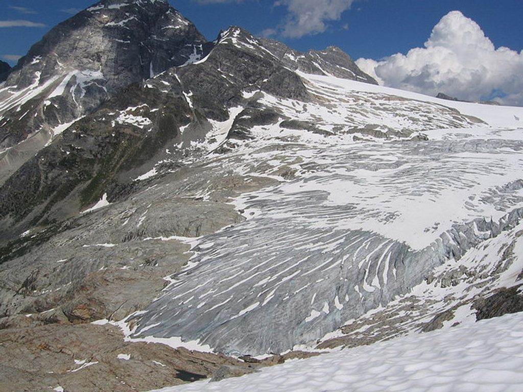
This is one of Glacier National Park (Canada)’s big, proud day hikes: a steep, strenuous out-and-back climb to a narrow crest that stares straight into the Illecillewaet Glacier. The route is roughly 7.1 miles total (11.4 km) out and back, starting near Illecillewaet Campground by Rogers Pass. Expect a sustained grade that earns every inch of elevation. If you enjoy big payoffs for hard work, this one delivers.
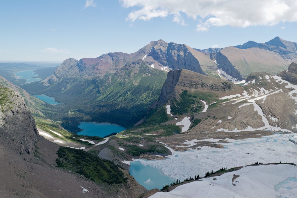
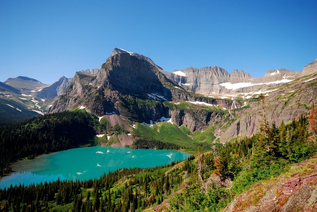
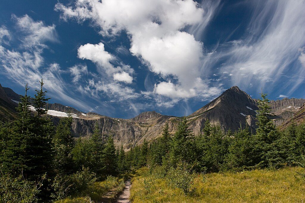
The first stretch is deceivingly mellow through ancient temperate rainforest—lush with ferns—and past the atmospheric ruins of Glacier House. After crossing Asulkan Creek, the trail quickly tips up into forested switchbacks with occasional peek-a-boo views. Above treeline, the tread turns rockier with slabs and boulders as the horizon explodes open. From the crest you’ll get a sweeping, close-up look at Illecillewaet Glacier, plus Mount Sir Donald to the east and, to the west, the Asulkan Glacier, Abbott Ridge, Perley Rock, Rogers Pass, and Eagle Peak. On clear days the colors pop hard.
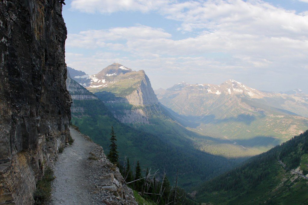
The path is well maintained but steep and narrow in places. Near the top, lingering snow and short bits of easy scrambling can appear depending on conditions. The descent is where many hikers get humbled—sections of small, ball‑bearing-like rocks can be slick and tedious. Trekking poles pay for themselves here. There’s a signed end‑of‑trail marker on the crest; some hikers carefully continue a short distance beyond for an even better vantage—only if you’re confident with steep, exposed terrain. Ignore any “loop” ideas linking to Great Glacier unless you have advanced scrambling skills and gear; the standard out‑and‑back is the smart play.
Prime season is July through mid‑September, once the snowpack has retreated. Snow can linger into mid‑July, and avalanche hazard can persist if the snow hasn’t settled—treat early season with respect. Start early for cooler temps, steadier footing on firm morning surfaces, and calmer weather; crowds are usually moderate. Always check current trail conditions and advisories with Parks Canada before you go.
Trailhead access and signage from Illecillewaet Campground are excellent, and there are bathrooms at the start. A Parks Canada pass is required. This is grizzly country—carry bear spray where you can grab it, make noise, and know how to behave around wildlife. Water is limited higher up; bring plenty or a filter. Weather changes fast at elevation—pack layers and a real shell. Dogs are permitted on leash. Handy detail for travelers: the park operates on Pacific Time.
Park at the Illecillewaet Campground trailhead (end of access road near Rogers Pass). Clear signage; roadside parking options along BC‑1 exist nearby. Bathrooms available at the start.
Steep, narrow tread with loose, ball-bearing-like rocks on the descent; lingering snow and minor scrambling near the top; avalanche hazard can persist into summer; grizzly country—carry bear spray; avoid attempting any loop variant—stick to the standard out-and-back; only continue beyond the end-of-trail marker if comfortable with exposure.
Place
Place
Place
Place
Challenging
Challenging
Challenging
Challenging

Parkwolf Tour Guide
