Pros & cons
PROS
- Historic, often-staffed fire lookout with a true summit feel and 360-degree views
- Typically less crowded than nearby marquee Lake McDonald routes
- Late-summer huckleberries add a uniquely Glacier flavor to the day
CONS
- Berry-fueled bear activity can trigger temporary closures
- Long, dry stretch after McGee Creek—no water at the lookout
- Early-season snow lingers on a steep, north-facing ridge section
Small signed pullout along Camas Road; closest restrooms and potable water are in Apgar Village or West Glacier.
High bear activity during huckleberry season; carry bear spray and expect possible closures. A north-facing ridge section can hold snow into early summer with steep drop-offs. No water after McGee Creek and none at the lookout; cell service is unreliable.
Overview
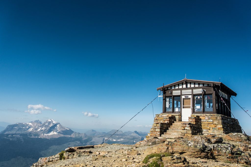
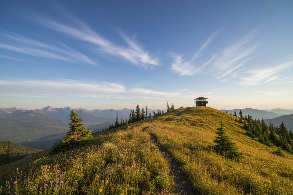
A classic Glacier day hike to a historic 1933 fire lookout, this out-and-back clocks roughly 12 miles total with about 2,725 feet of gain. It’s challenging but straightforward: a sustained climb through healthy forest, a scenic ridge traverse, and a finale of 360-degree views. It’s also often quieter than the big-name Lake McDonald hikes—great if you want a big payoff without big crowds.
Route and Views
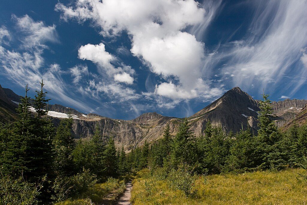
From the small Camas Road trailhead, the first bit is flat to McGee Creek—your one notable water source—before the trail tips up into a steady climb. The lower forest here hasn’t burned in a long time, so expect a real canopy and fewer early views; avalanche chutes offer occasional windows as you go. Around 3–4 miles the forest thins and you reach a small pass. The last ~2 miles traverse a ridgeline, including a north-side stretch that can hold snow into late June and has steep drop-offs—use caution. A final ~400-foot push leads to the lookout, often staffed in summer.
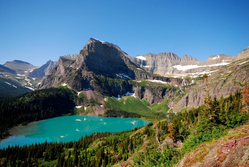
The summit deck serves up sweeping looks to the Livingston Range and beyond, with named highlights like Longfellow Peak, Paul Bunyan’s Cabin, Mount St. Nicholas, and the Great Northern. Along the ridge, keep an eye out for the park’s hallmark red argillite with ancient ripple marks—evidence of Glacier’s deep-time Belt rock. Grouse are frequently encountered up high.
Huckleberries (and Bears)
True to the name, late summer brings prolific huckleberries along portions of the route—delicious for you, irresistible for both black and grizzly bears. Bear activity can spike during berry season, and rangers may temporarily close the trail to day use when it’s especially active. Carry bear spray, keep it accessible, make noise, and give wildlife space.
Best Time to Hike
- Late Summer to Early Fall: Prime time. Drier tread, big views, ripe berries—and peak bear activity. Start early for cooler temps and softer light on the Livingston Range.
- Early to Mid-Summer: Expect lingering snow on higher, north-facing sections, especially near and along the ridge. Many hikers wait for more melt before committing to the final traverse.
- Autumn Shoulder: Lovely, but early storms can drop snow on the ridge; be ready to turn back.
- Winter/Spring: Minimal maintenance and avalanche terrain make summer routes a poor choice for snow travel here.
Logistics and Tips
- Water: None at the lookout and essentially none after McGee Creek—carry what you’ll need for a 12-mile day.
- Parking/Facilities: Small signed pullout on Camas Road; the closest bathrooms and potable water are in Apgar Village/West Glacier.
- Conditions: Bugs can be pesky near the start early season. Cell service is unreliable—download offline maps. Traction (microspikes/snowshoes) may be needed in shoulder seasons.
- Rules: Day hiking doesn’t require a permit; overnight camping needs a backcountry permit. Pets aren’t allowed on park trails.
Bottom Line
If you’re up for a sustained climb and a bit of ridge exposure, this is a rewarding, less-crowded Glacier lookout hike with real summit-feel views. Come late summer for berries and long-range panoramas—just be genuinely bear-aware.
Elevation
12 mi · 6.5 hrWildlife on this trail
Near Huckleberry Mountain Lookout
All places →All trails →
Going-to-the-Sun RoadIconic alpine drive over the Divide with nonstop viewsPullout · Scenic Viewpoint
Grinnell GlacierClassic hike to a shrinking glacier and electric‑blue lakeScenic Viewpoint · Restroom
Logan PassAlpine hub on the Divide with big views and wildlifeTrailhead · Restroom
Grinnell Glacier OverlookA cliff‑edge, aerial look into the Grinnell Glacier basinScenic Viewpoint
Highline TrailIconic ridge walk with goats, big views, and a brief cliff cableChallenging · 11.8 mi · 7 hr
Grinnell Glacier TrailIconic Many Glacier climb to turquoise lakes and a shrinking glacierChallenging · 10.6 mi · 5.5 hr
Swiftcurrent Lookout TrailHighest trail summit in Glacier with big, all-direction views.Challenging · 12.3 mi · 9.5 hr
Swiftcurrent Pass TrailLakes-to-lookout climb with moose, waterfalls, and big-air viewsChallenging · 14.2 mi · 6.5 hr