
Place
Challenging
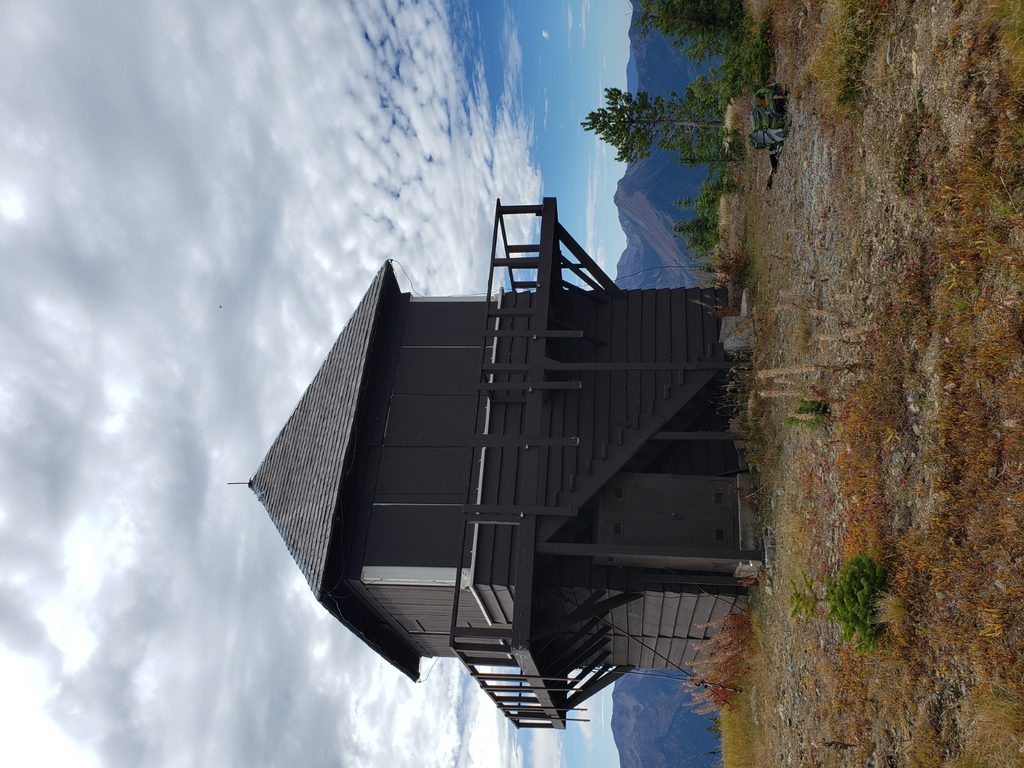
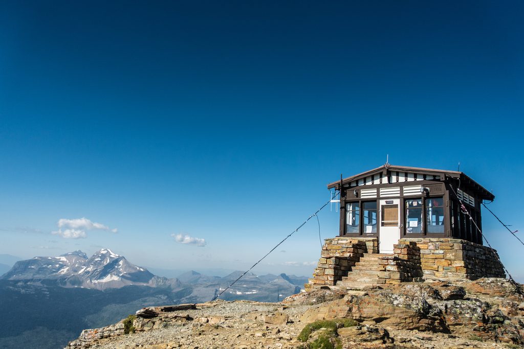
A serious backcountry day: roughly 14.2 miles total (out-and-back) and about 3,800 feet of gain to a staffed fire lookout on Loneman Mountain. It’s one of the park’s least-visited lookouts, so expect true solitude and an “earned” summit panorama. The catch—and it’s a big one—is the mandatory ford of the Middle Fork of the Flathead River at Nyack Crossing before you even start climbing.
The approach starts near mile marker 164 on US‑2. Turn down the heavily used dirt road on the northeast side and follow it to the end; signage explains the ford. From there, walk the railroad tracks southeast to the river. After crossing the Middle Fork, pick up the path to the South Boundary Trail, turn left (west) into the trees, and cross a creek. About 1.2 miles in, watch for a subtle, unsigned trail that climbs to Loneman—easy to miss if you’re not paying attention. The first two miles (with water and wayfinding) are the trickiest; look for orange markers early on. Some hikers prefer using the “mule trail” on the way back to avoid thicker brush.
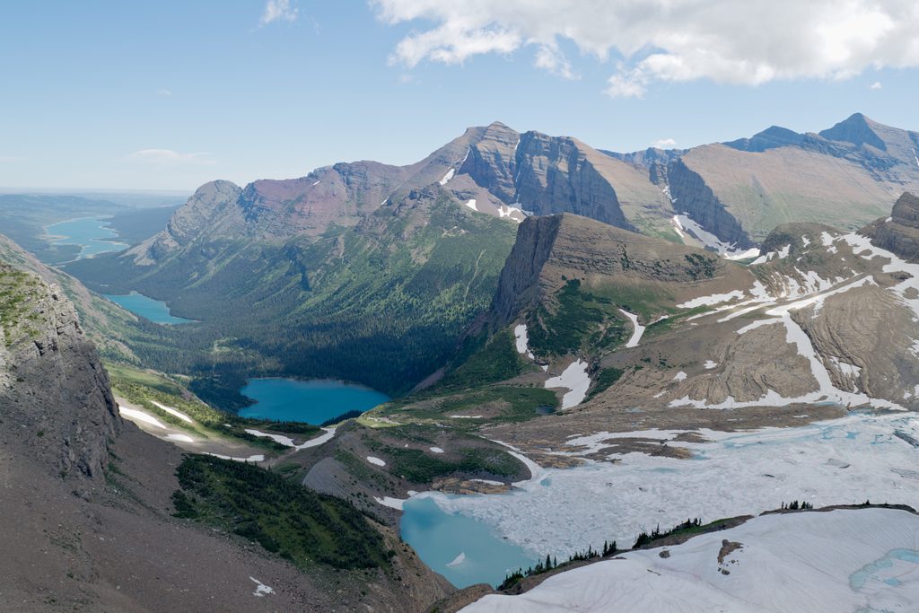
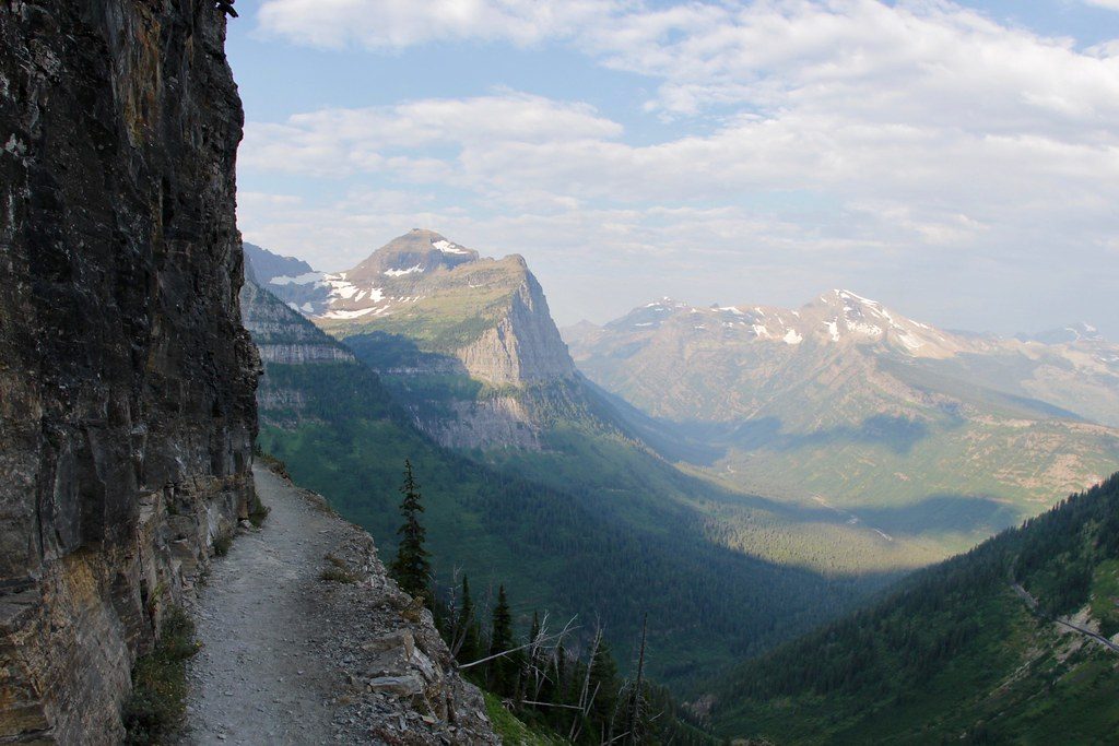
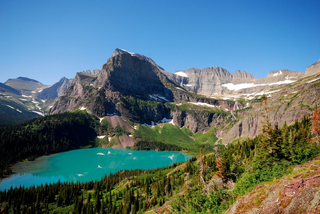
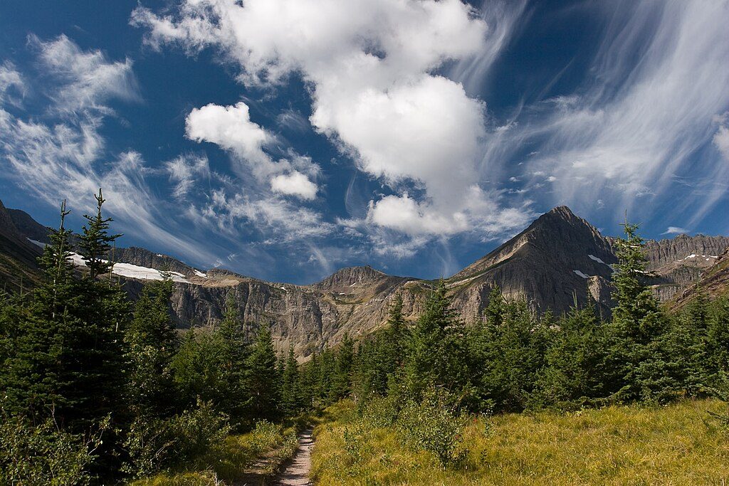
Once on the mountain, it’s a steady, view-filled ascent with surprisingly frequent openings—burned slopes and sparse timber mean the scenery rarely disappears. You’ll look over the Nyack Flats and the Middle Fork valley, swing around to peer into the Harrison Lake basin, and line up rugged giants like Mt. Jackson and Mt. Stimson. The lookout itself delivers a sweeping, photogenic payoff that many call among the best vistas in the park. Expect sections of overgrown brush lower down (long pants help); higher up, the terrain opens. In season, wildflowers and butterflies can be plentiful.
Plan on multiple water crossings: the Middle Fork at Nyack Crossing (the crux and a potential trip-ender in high water) and Nyack Creek farther in. Spring conditions can make the river dangerous or impossible to ford. A typical, safer window is mid‑August into September, but this varies year to year—always check current flows and ask rangers. This is not a winter route.
This is prime bear country with reports of grizzly encounters and clawed trees—carry bear spray and stay alert. Bugs can be relentless in summer; bring strong repellent. Download maps for offline use and consider a printed backup. The mileage, elevation, brush, and fords make this a demanding day even for fit hikers; start early if you want unhurried time on the summit.
If you’re comfortable with committing fords, light routefinding, and a big vertical day, the solitude and summit views are outstanding and underrated. If you want a straightforward crowd-pleaser without water hazards, this isn’t the one.
Mid‑August to September typically offers the most reasonable river levels and long enough daylight to enjoy the top. Earlier in the season may offer more flowers but riskier fords. Aim for early starts for cooler temps, calm morning light, and a relaxed summit stay.
End of the heavily used dirt road off US-2 near mile marker 164 (northeast side); park at the road’s end by the ford signage.
Mandatory ford of the Middle Fork at Nyack Crossing; conditions vary and can be dangerous—check with rangers and do not attempt in high water. Multiple additional creek crossings, early routefinding challenges, overgrown brush, heavy bugs, and active grizzly habitat—carry bear spray.
Place
Place
Place
Place
Challenging
Challenging
Challenging
Challenging

Parkwolf Tour Guide
