
Place
Challenging
This is a big, rewarding day out to the edge of the Illecillewaet Glacier. Expect a relentless climb, changing terrain, and knockout views that just keep expanding. The route is an out-and-back, roughly 8–8.5 miles TOTAL with about 4,200–4,300 feet of gain, and typically takes 6–8 hours depending on how long you linger at the glacier. If you like dramatic alpine scenery and don’t mind steep, loose footing, it delivers in a big way.
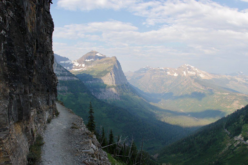
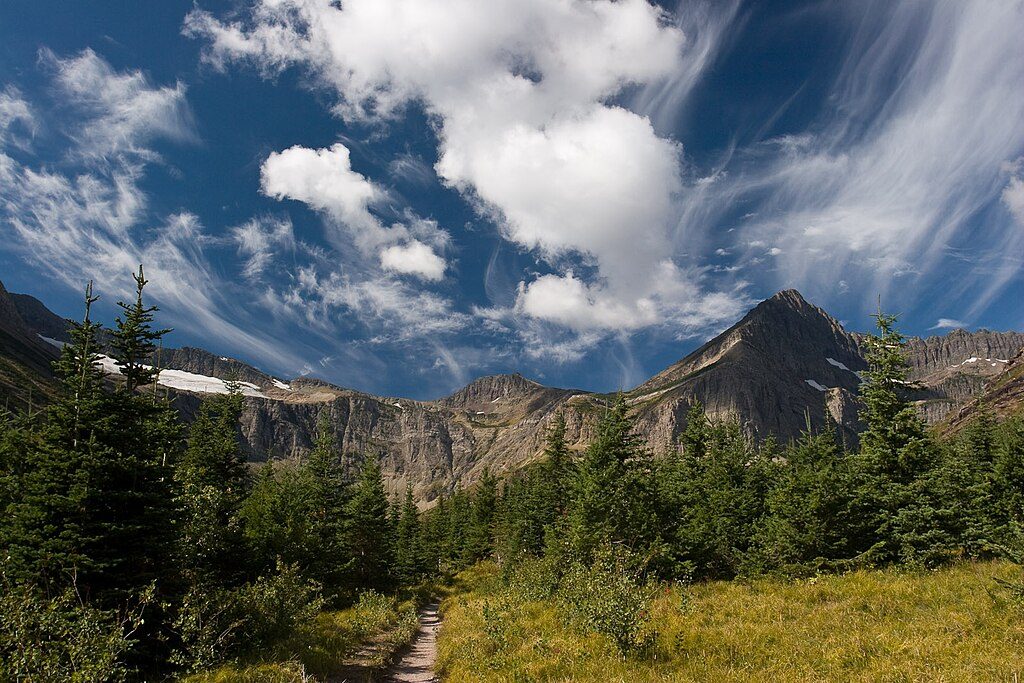
From Illecillewaet Campground, the trail follows the Illecillewaet River and initially shares the path with the Sir Donald Trail before splitting. You’ll climb through cool forest, then into boulder fields and dusty scree switchbacks as the grade steepens. The views widen quickly: Mount Sir Donald, waterfalls, and the Illecillewaet valley come into focus as you grind upward.
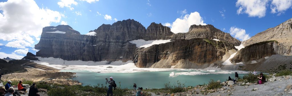
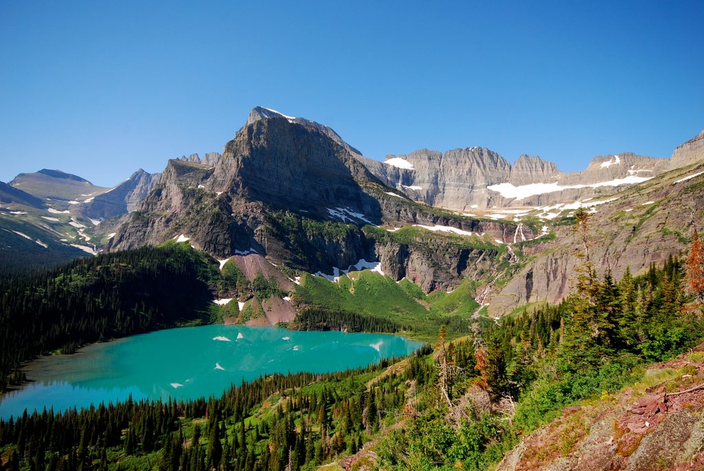
After a short loose-rock traverse, the trail pops onto a barren, rocky alpine bench that feels otherworldly. From here the Illecillewaet Glacier and the broader Icefield spread out in front of you. A turquoise meltwater pool often sits at the glacier’s toe, bordered by ultra-fine “rock flour” that looks and feels like talc. A small moraine nearby gives a fantastic big-picture perspective. Perley Rock itself is a short, easy scramble from the bench—well worth the two-minute detour for a slightly higher perch.
Make no mistake: it’s steep both ways. The ascent is sustained and the descent is tough on loose scree. Seasonal snow can linger in the upper kilometer or two well into summer, and you’ll encounter rocky, uneven footing with short scrambly bits up high. Trekking poles are a big help; traction can be wise early season.
The sweet spot is late July through early September when upper snow has mostly melted and seasonal bridges are typically in. Early summer (June–July) often means lingering snow near the top and potentially missing bridges; late September can bring early winter conditions and the removal of those bridges, complicating access. Start early for cooler temps, easier parking, and time to explore the glacier area.
Trailhead parking is just inside Illecillewaet Campground off Highway 1, with two small paved lots (limited spaces) and some roadside overflow. A national park pass is required. Cell service is unreliable once you’re in the park—download maps and info ahead of time.
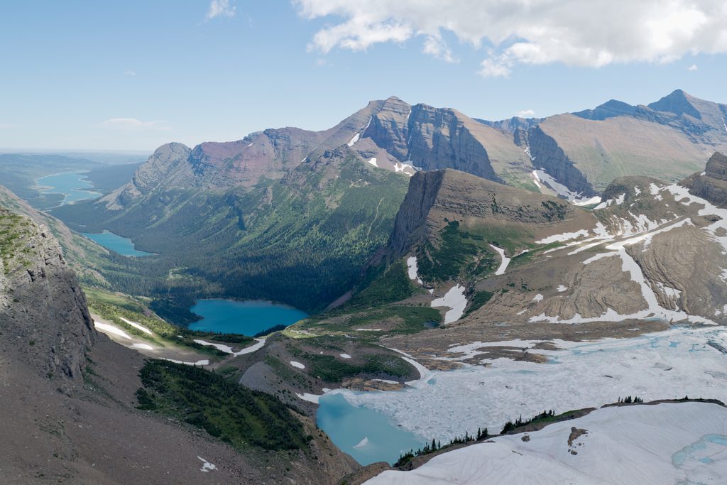
This is a front-row seat to classic glacier country. Watch for glacial flour forming pale “beaches” at the meltwater pool, moraines that frame the icefield, and a textbook U-shaped valley carved by ice. On clear days you’ll spot Mount Sir Donald, Cheops, Abbot Ridge, and the Asulkan Glacier across the way.
Give the glacier a wide berth. Overhanging ice and ice caves can collapse without warning, and calving can occur at the toe. Seasonal bridges come out in late September (timing varies) and creek crossings can be unsafe without them. Carry plenty of water, sun protection, and the ten essentials. Be bear-aware and prepared.
Park at Illecillewaet Campground just off Highway 1; two small paved lots near the trailhead (about two dozen marked spaces) with some roadside overflow. Arrive early.
Keep distance from glacier toes and overhangs due to collapse and calving risk; steep, loose scree throughout; lingering snow near the top; seasonal bridges are removed in late September affecting access; limited cell service.
Place
Place
Place
Place
Challenging
Challenging
Challenging
Challenging

Parkwolf Tour Guide
