
Place
Challenging
This is a two-for-one alpine sufferfest in the Illecillewaet valley: both routes share the first 3.2 km before splitting—right to Perley Rock for intimate Illecillewaet Glacier views, left to continue the Sir Donald Trail toward its backcountry camp area. Expect constant waterfalls, big glacier scenery, and a relentless climb. Perley Rock is roughly 8–8.5 miles (13–13.7 km) round trip with about 4,200–4,300 feet (1,260–1,320 m) of gain; plan 6–8 hours total. The Sir Donald Trail is about 6.2 miles (10 km) round trip with roughly 3,500 feet (≈1,067 m) of gain and feels equally punishing.
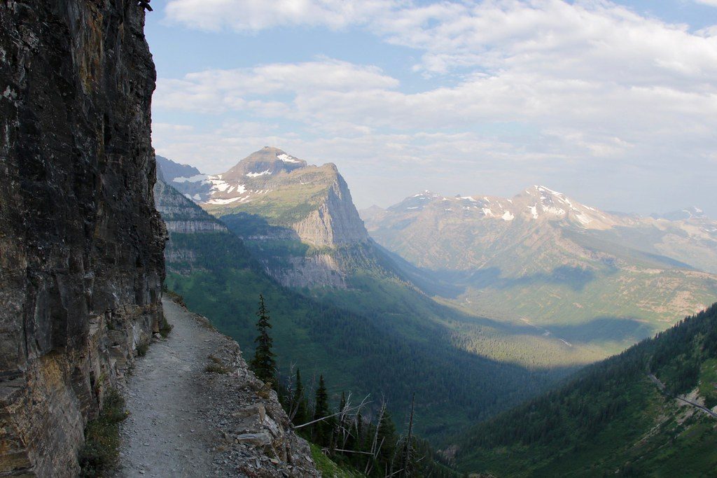
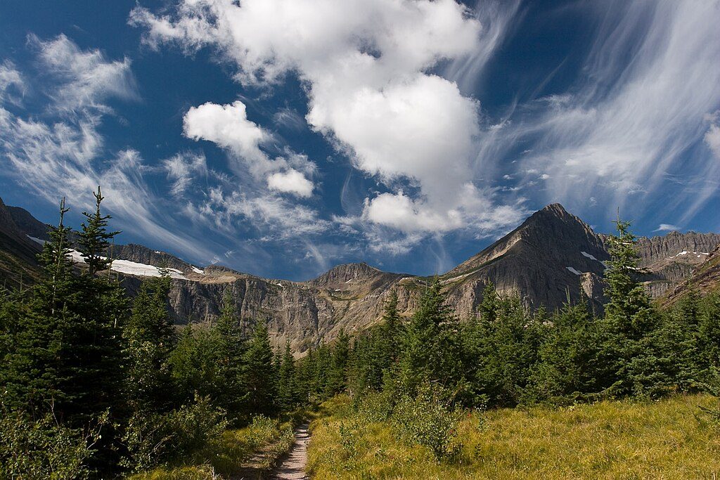
From the Illecillewaet Campground trailhead, the shared path follows the Illecillewaet River through forest before crossing boulder fields and ramping up into steep, dusty switchbacks. Waterfalls roar beside you. Views widen to Abbot Ridge and Peak, the Asulkan Glacier, and Mount Sir Donald as you climb.
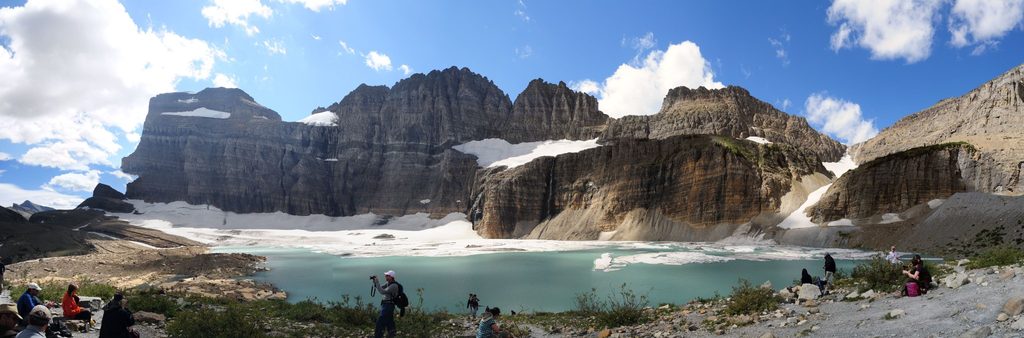
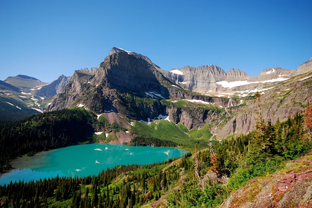
On the Perley Rock branch, a short, lingering snow slope often guards the final col well into summer. Beyond it, the terrain turns stark and “moon-like,” leading to the edge of the Illecillewaet Glacier. Here you’ll find a vivid turquoise meltwater pool and a silky ribbon of glacial flour—an unmistakable, ultra-fine “beach” of rock silt. It’s an unforgettable spot to linger, photograph, or take a very brisk dip. A brief, easy scramble up Perley Rock and a stroll along nearby moraines boost the already huge views over the Illecillewaet Icefield.
The Sir Donald Trail continues steeply on a ridge with boulder scrambles. It’s not especially sketchy, but it’s slow going and rugged. The payoff is close-up glacier and mountain views, with sunrise and sunset light especially rewarding. Most crossings are bridged in season, but the final broad outflow near the glacier is not.
Both routes are firmly in the “difficult” category: sustained steep grades, loose rock/scree, and upper snow patches. Trekking poles help on the climb and especially the descent. In a big-snow year—or early/late season—carry traction for the short, steep snow slopes near the Perley Rock col. Expect some route-finding feel in rocky sections.
July through September is your window. Seasonal bridges are typically installed once snowmelt allows and are usually removed around late September. Upper snow can linger deep into summer. Start early for cooler temps, better footing on firm morning snow, and ample time to explore the glacier bench; golden hours at the top are exceptional.
Park at the Illecillewaet Campground trailhead area near Rogers Pass; it’s also an excellent basecamp for exploring the valley’s trails. Dogs are allowed—keep them under control and be mindful around steep, loose sections and lingering snow. If you plan to camp on the Sir Donald route, backcountry permits must be secured in advance.
This is active glacial terrain. Do not walk under or onto overhanging ice; ice caves and edges can collapse without warning. Expect steep snow slopes on the Perley Rock approach well into summer. On the Sir Donald side, one final glacier-fed crossing is unbridged. Check current trail conditions and seasonal bridge status with Parks Canada before heading out. Carry the essentials, a water filter, and ideally a satellite communicator; let someone know your plan.
Park at the Illecillewaet Campground trailhead area near Rogers Pass; follow signs for the shared Perley Rock/Sir Donald path along the Illecillewaet River.
Relentlessly steep with loose scree; lingering snow slopes near the Perley Rock col; do not go under or onto overhanging glacier ice; seasonal bridges removed around late September; one unbridged glacier outflow on the Sir Donald branch; aggressive mosquitoes reported in season.
Place
Place
Place
Place
Challenging
Challenging
Challenging
Challenging

Parkwolf Tour Guide
