
Place
Challenging
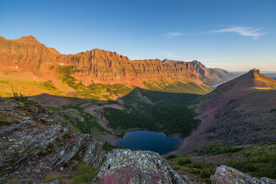
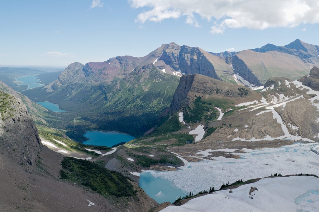
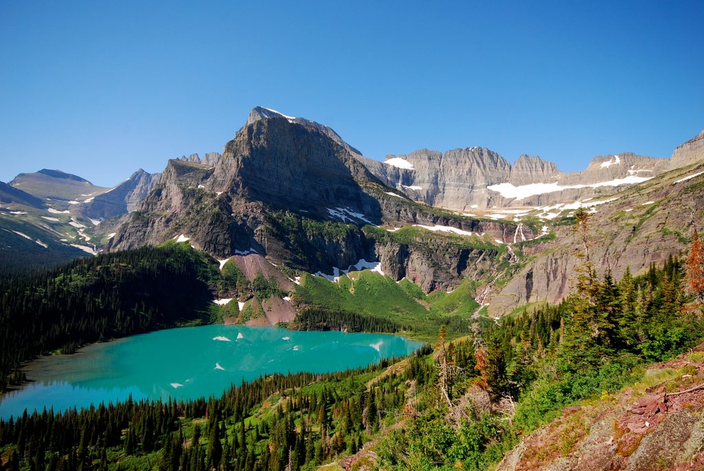
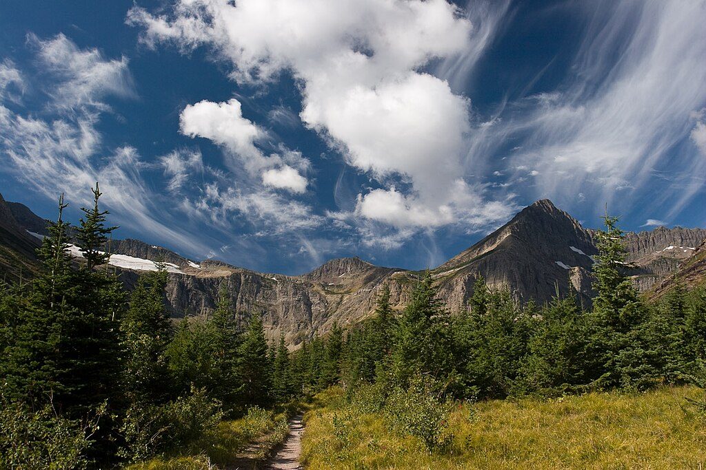
This is Two Medicine at its best: a long, committing out-and-back to an exposed pass with nonstop scenery and far fewer crowds than the park’s headliners. From the South Shore Trailhead, it’s roughly 14.2 miles total (roundtrip) with about 2,410 feet of elevation gain to reach the pass area, topping out near 7,555 feet. Expect waterfalls, a classic glacial U-shaped valley, a jewel of an alpine lake, and a windswept ridge that feels wild and wide open.
You’ll quickly pass quiet beaver ponds (prime moose habitat), cross Aster Creek, and head toward Rockwell Falls before climbing switchbacks into a broad, glacially carved valley between Painted Tepee Peak and Sinopah Mountain. Higher up, huckleberry patches give way to subalpine meadows and dwarf trees. A side path leads to Cobalt Lake and its backcountry campground, then a steep final push (~950 feet in ~1.4 miles) gains the ridge near the pass between Mt. Rockwell and Chief Lodgepole Peak. Many day hikers turn around at a high vantage point on the ridge for essentially the same big views.
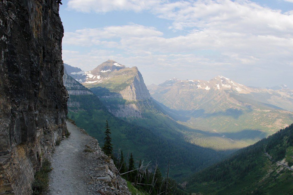
This is a strenuous day: long mileage, significant gain, and real exposure up high. The ridge is broad but windy—gale-force gusts are not unusual. You’ll cross a suspension bridge en route; take it slow and hold both rails. Expect some steep sections, plus typical Two Medicine variables like muddy stretches and mosquitoes.
Late spring through early fall is the window, with lingering snow possible at higher elevations well into summer. Aim for midweek or early starts for solitude. Morning light works nicely on Two Medicine Lake and along the valley; afternoons often bring stronger winds on the ridge.
Park at the South Shore Trailhead at Two Medicine Lake. Arrive early for this long day hike.
Expect strong winds and exposure on the ridge; steep climbing above Cobalt Lake; a suspension bridge crossing; bears in huckleberry patches; muddy stretches and mosquitoes; unreliable cell service. Check current access rules—Two Medicine typically does not require a vehicle reservation during peak season, but confirm before you go.
Place
Place
Place
Place
Challenging
Challenging
Challenging
Challenging

Parkwolf Tour Guide
