
Place · 4.2 mi away
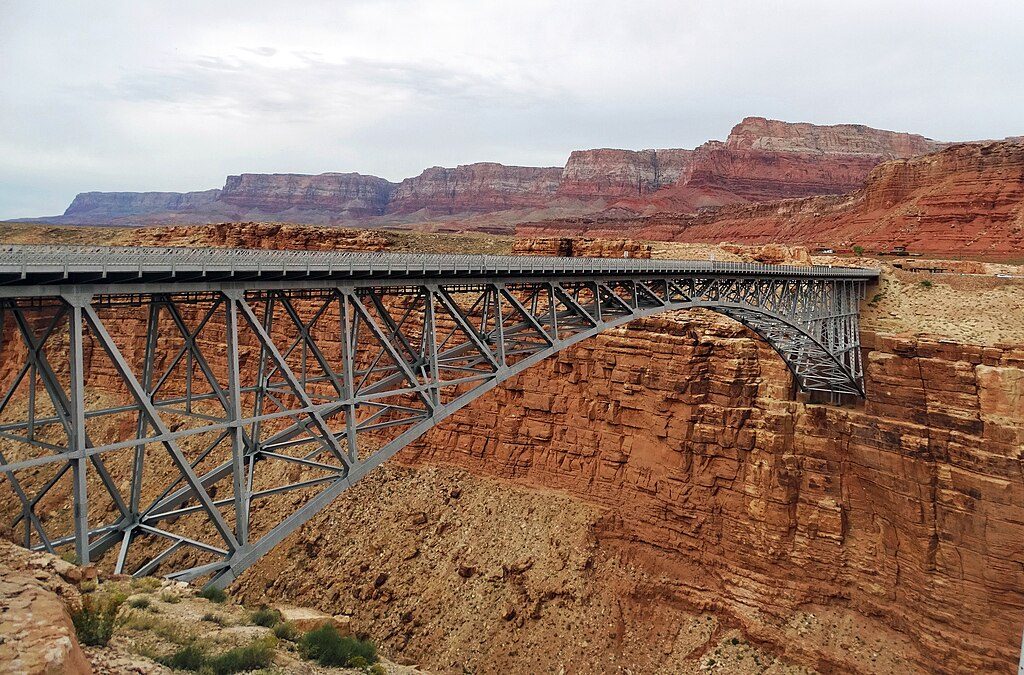
Two side‑by‑side steel arches leap across the Colorado River at Marble Canyon: the 1929 original now reserved for walkers and riders, and a 1995 twin that carries the highway. The old span functions as a wide, airy overlook straight into the river corridor—an easy, free stop that feels far bigger than its footprint.
Look down nearly 470 feet to the emerald Colorado, framed by red limestone walls and the distant Vermilion Cliffs. Interpretive panels explain the bridge’s story and the surrounding canyon country. On the west side, the small interpretive center adds context (and shade) before you stroll the span for photos.
When the first bridge opened in 1929, it replaced the risky Lees Ferry crossing and instantly became the region’s lifeline. As traffic grew, a wider partner bridge opened in 1995; the historic span was kept for people on foot and horseback. The setting marks the threshold of the Grand Canyon system—Marble Canyon leading toward the canyon proper.
You’re standing over layered sedimentary cliffs that include prominent limestone formations, with the Colorado slicing a clean, narrow gorge. It’s a textbook look at how the river has carved its way into the plateau.
California condors are the headliners here—scan the trusses and sky with binoculars for wing tags and that unmistakable, broad wingspan. You may also spot ravens and swallows riding the updrafts.
There’s free parking on the west side by the interpretive center, along with exhibits, restrooms with running water, a small bookstore/gift shop, and some picnic tables. No food or fuel on-site, so come prepared. No fee to walk the bridge.
Early morning or late afternoon brings softer light on the canyon walls, cooler temps, and fewer passersby. Midday can be harsh and windy—great for condor glides, less great for your hat. Weekdays are typically quieter than weekends.
Place · 4.2 mi away
Place · 25.3 mi away
Place · 25.6 mi away
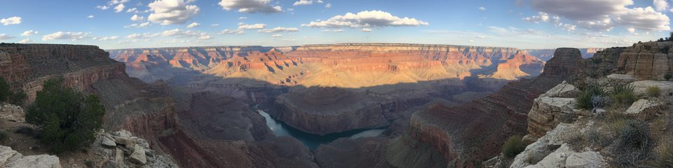
Place · 33.6 mi away
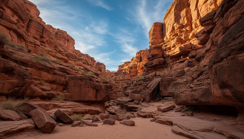
Moderate · 1.2 mi away
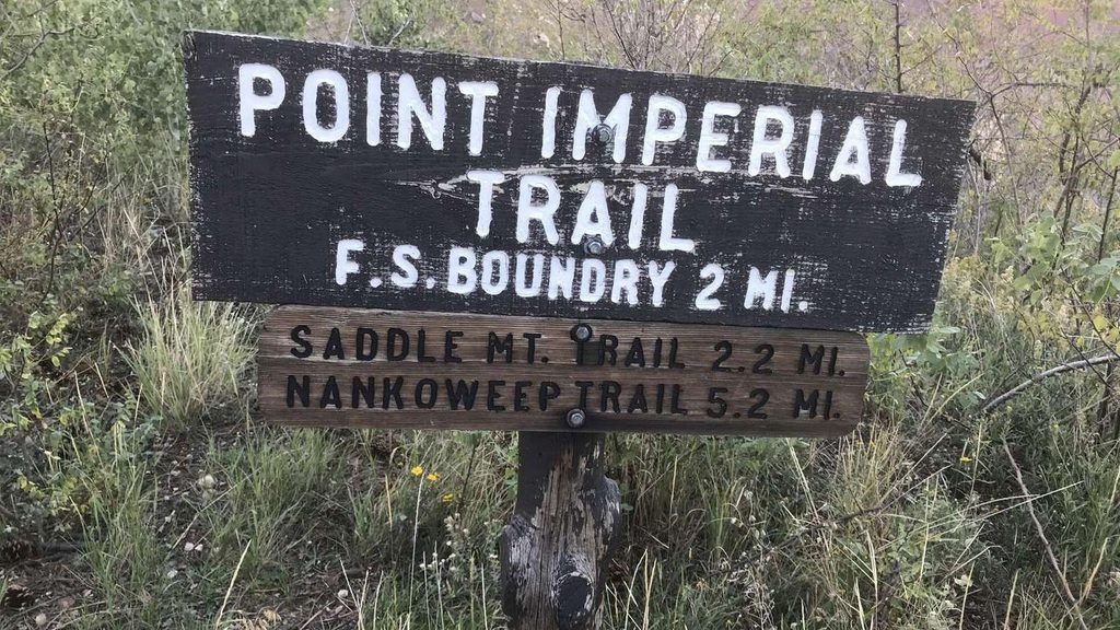
Easy · 41.9 mi away
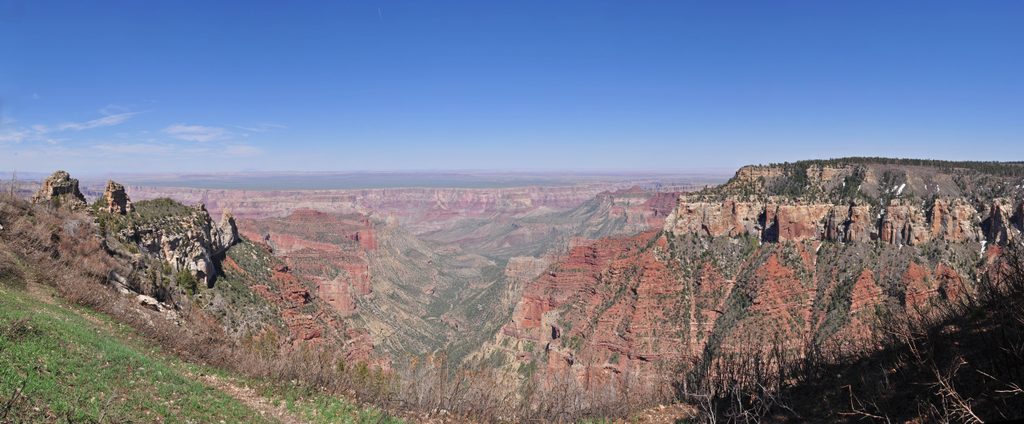
Easy · 45.1 mi away
Moderate · 47.6 mi away

Parkwolf Tour Guide
