Parking
Use the limited single-lane Roosevelt Point pullout on Cape Royal Road, just under two miles beyond Vista Encantada. Cape Royal Road is seasonal; vehicles and vehicle-trailer combinations over 22 feet total are prohibited.

Grand Canyon National Park, AZ
A woodland loop opens to the Painted Desert and canyon views.
Overview
Map & elevation
Plan your hike

The highest, rockiest slopes around here are a summer buffet for grizzly bears.
Grand Canyon Tour Guide
Parkwolf is a GPS audio tour guide for Grand Canyon National Park. As you drive, it chimes in with what’s ahead: hidden gems, upcoming stops, history, geology, and wildlife, right through your car’s speakers.
See the Grand Canyon audio tourRecorded for this trailhead
Roosevelt Point’s View and Plaque“The pullout for Roosevelt Point is coming up, with a short walk to an east-facing canyon view.”
Plays as you drive up to this trailhead in the Parkwolf Grand Canyon Tour Guide.
More stories near here in the app
“Fantastic app with many points of information… It’s great to just turn on while you’re driving and it gives you an audio tour of the national Park. We love it!!!!”


Trail guide
Roosevelt Point Trail is a short woodland loop from the Cape Royal Road pullout to a Grand Canyon overlook. Follow a brief approach spur, circle the point, then retrace the spur to the car. The full mapped walk is about 0.34 mile; published figures range from 0.2 to 0.3 mile. Allow 20–30 minutes. It is an easy stop when you want a quiet rim view without committing to a canyon hike.
The path begins beside a rock with a Theodore Roosevelt plaque and threads through overgrowth to the overlook, where a USGS medallion marks the end. Benches are available at the point. The exact grade and steps are not documented, so the short distance alone does not establish accessibility.
The overlook faces across a deep side canyon and layered, colorful cliffs toward the Colorado River Gorge and the Painted Desert. Point Imperial is visible to the north. From the rim, frame the foreground rock against the wider canyon; the Roosevelt plaque is worth a look at the trail entrance.
The point honors Theodore Roosevelt’s conservation work. He first visited the Grand Canyon in 1903, signed the Antiquities Act in 1906, and proclaimed the Grand Canyon a national monument in 1908; it became a national park in 1919. Parking is limited at the single-lane pullout on Cape Royal Road, just under two miles beyond Vista Encantada. The road is seasonal, and vehicles or vehicle-trailer combinations over 22 feet total are not allowed. Pets are prohibited on this trail; leashed pets are limited to the Bridle Path and the Arizona Trail north of the park entrance.
Wildlife
 718 sightingsCalifornia CondorMost seen around 5 PMSighting map
 533 sightingsBighorn SheepMost seen around 7 AMSighting map
 169 sightingsAmerican BisonMost seen around 7 PMSighting map
 1,891 sightingsElkMost seen around 6 AMSighting map
 59 sightingsCoyoteMost seen around 6 PMSighting map
 27 sightingsGray FoxMost seen around 6 AMSighting map
Sighting maps show where each species has been reported across Grand Canyon. Wildlife moves, so no sighting is guaranteed.
Keep exploring
 ModerateFrancois Matthes Trail10.7 mi · 5.5 hr · 0.8 mi awayA long former road to a brush-framed North Rim overlook.
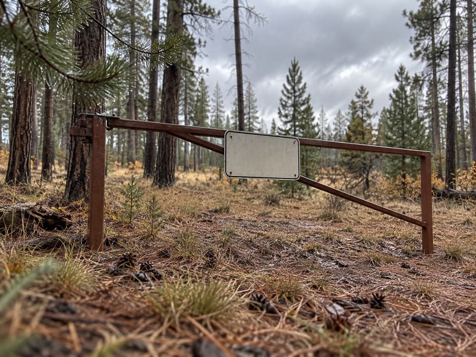 ModerateWalhalla Glades Trail15 mi · 6 hr · 0.8 mi awayA 15-mile out-and-back on Walhalla Plateau's old road.
 ModerateKomo Point Trail10 mi · 4.5 hr · 1.9 mi awayFollow a fading old road to a remote canyon rim.
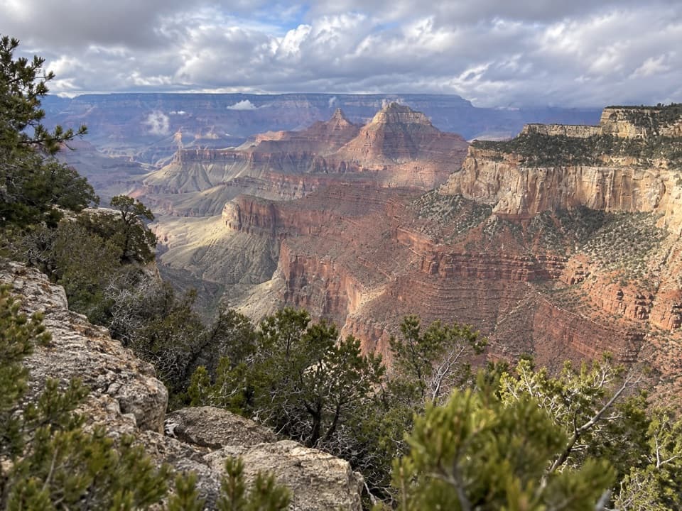 ChallengingAriel Point Trail12.2 mi · 6.5 hr · 1.9 mi awayA long North Rim walk to a rugged canyon projection.
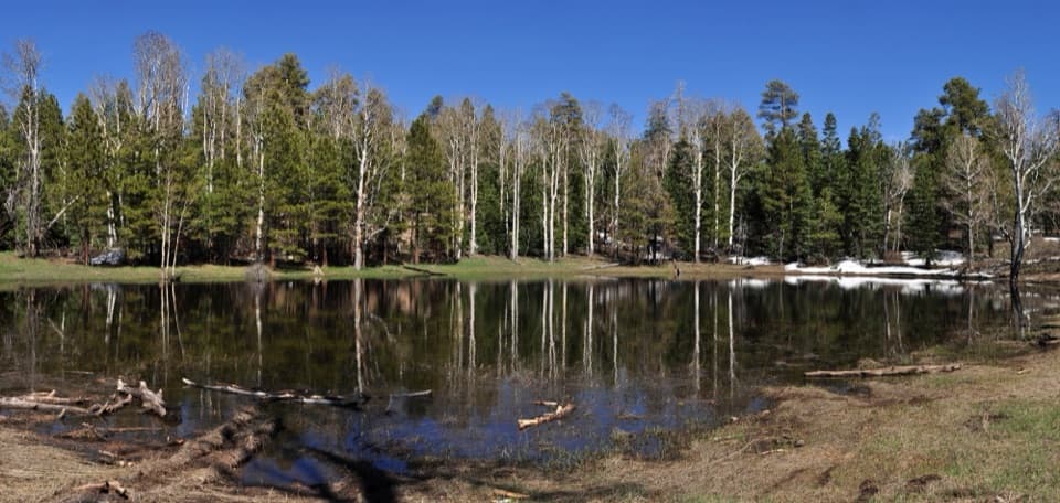 EasyGreenland Lake Trail0.3 mi · 45 min · 2.7 mi awayA quick detour from Cape Royal Road to Greenland Lake.
 ModerateWalhalla Spur Trail5.4 mi · 3 hr · 2.8 mi awayA remote, rough forest track across the Walhalla Plateau.
 ChallengingKen Patrick Trail9.8 mi · 6 hr · 4.4 mi awayForest miles and big canyon views along the North Rim.
 ModeratePoint Imperial Trail5.2 mi · 2.8 hr · 4.5 mi awayA rim walk through the 2000 Outlet Fire burn.
 Sight · At the trailheadRoosevelt PointA short walk finishes at an east-facing canyon panorama.
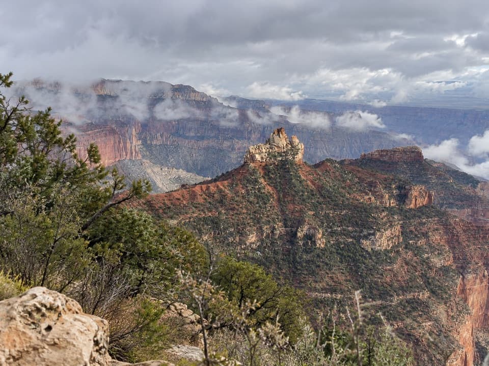 Picnic area · 1.5 mi awayVista EncantadaA pine-shaded picnic stop above the North Rim’s layered cliffs.
 Sight · 4.4 mi awayPoint ImperialThe North Rim's highest lookout opens onto the Painted Desert.
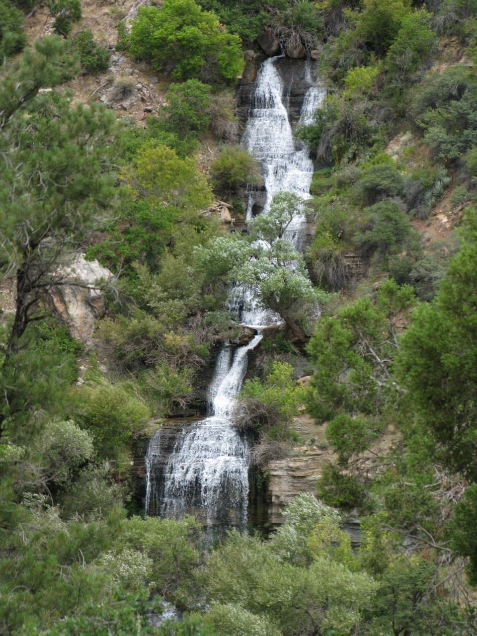 Sight · 4.8 mi awayRoaring SpringsA lush waterfall at the end of a steep canyon hike.
 Sight · 5.4 mi awaySupai TunnelA four-mile hike to a tunnel framing streaked sandstone.
 Sight · 5.6 mi awayCoconino OverlookA steep 1.4-mile out-and-back earns a Roaring Springs Canyon view.
 Sight · 5.6 mi awayBright Angel PointA high rim panorama framed by the canyon’s temple buttes.
 Sight · 5.8 mi awayCape FinalA 4.2-mile forest hike ends with a wide canyon panorama.
Parkwolf’s Grand Canyon ranking

The audio tour guide for the drive, plus offline maps, trails, and wildlife heatmaps for when the signal drops.




