Overview
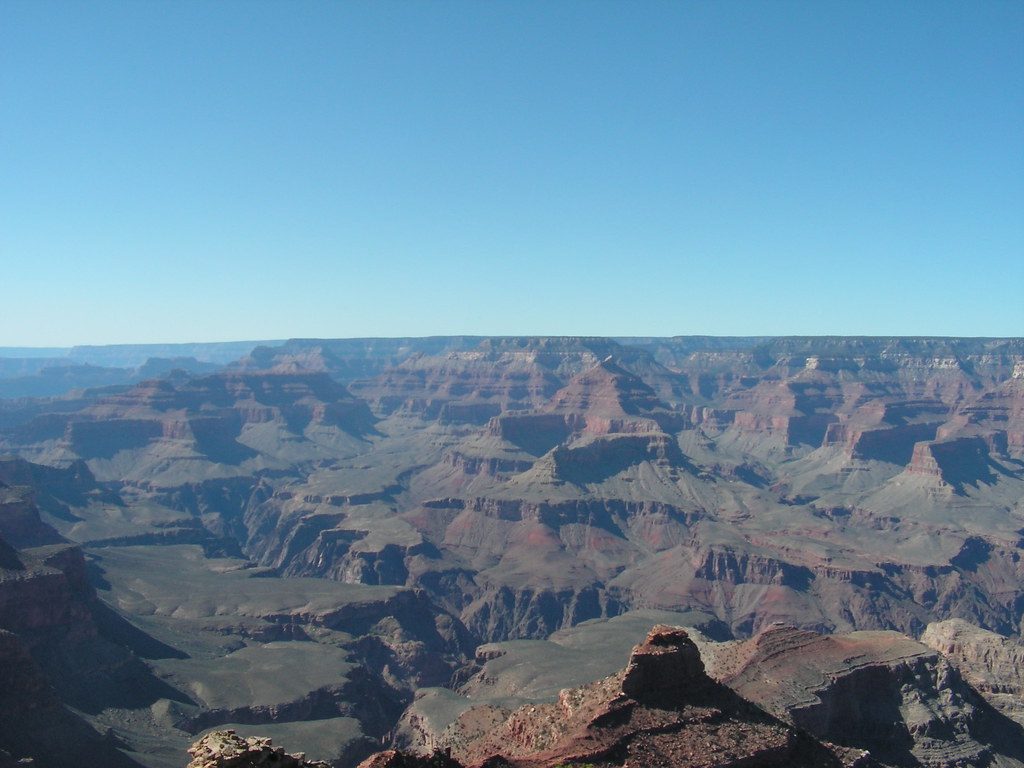
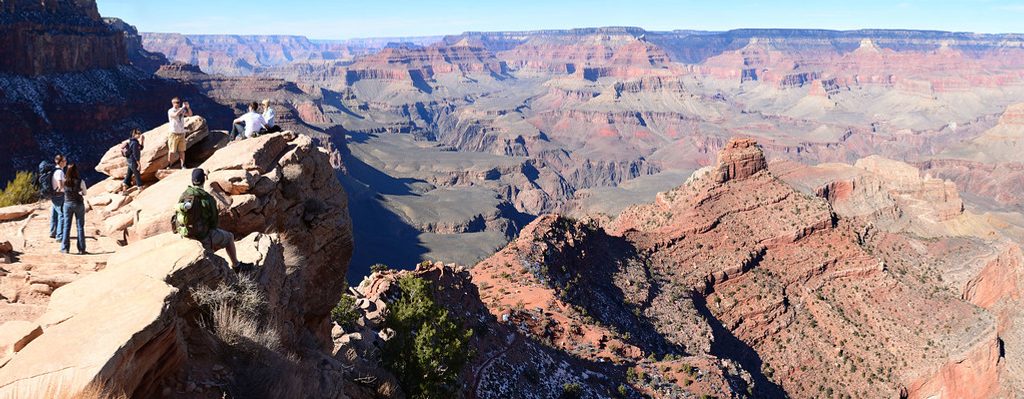
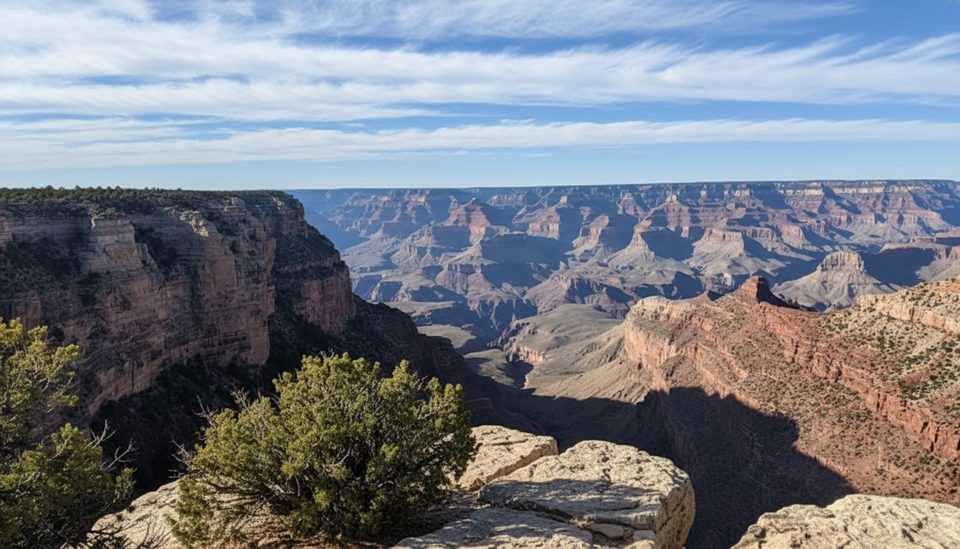
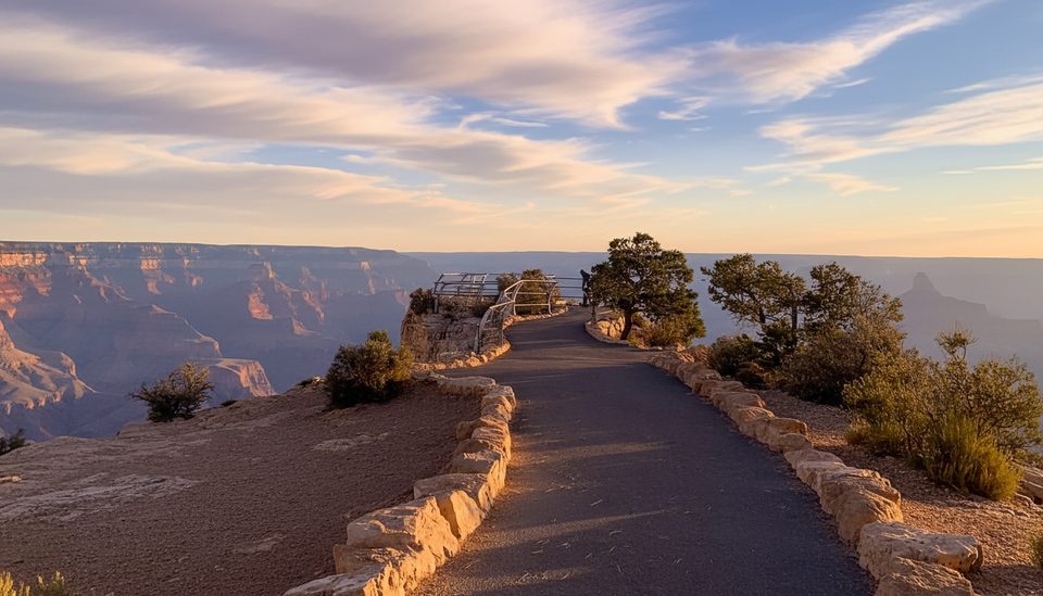
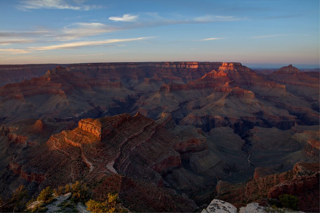
This is the shuttle-only gateway to the South Kaibab Trail—a ridgeline descent that wastes no time delivering huge Grand Canyon views. Unlike side-canyon routes, you’re out on the spine with near-constant vistas from the first steps, which is exactly why day hikers flock here.
Why Start Here
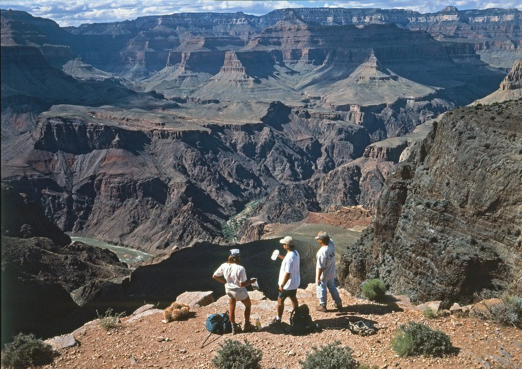
- Big scenery fast: Ooh Aah Point is just 0.9 miles down, Cedar Ridge at 1.5 miles feels like a natural turnaround with 360-degree views, and Skeleton Point at 3 miles reveals the Colorado River.
- The route is the most direct South Rim path to the river, making it the classic descent for backpackers who return via Bright Angel.
Access and On-the-Ground Details
- Shuttle only: Yaki Point Road is closed to private vehicles—use the free Orange Route (South Kaibab) or morning Hiker Express buses.
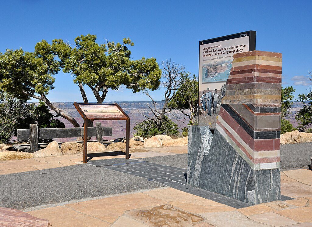
- Facilities: Expect a primitive setup at the trailhead; there’s a basic restroom (vault/pit toilet) and some informational signage. Picnic tables are available. There is no water here—fill up at the rim before you board the shuttle.
What You’ll See on the Way Down
- Ooh Aah Point (0.9 mi): Aptly named photo stop with big, airy views.
- Cedar Ridge (1.5 mi): Broad plateau, 360-degree scenery, and pit toilets.
- Skeleton Point (3 mi): First real glimpse of the river far below.
- The Tipoff (4.5 mi): Junction with the Tonto Trail; pit toilets and an emergency phone.
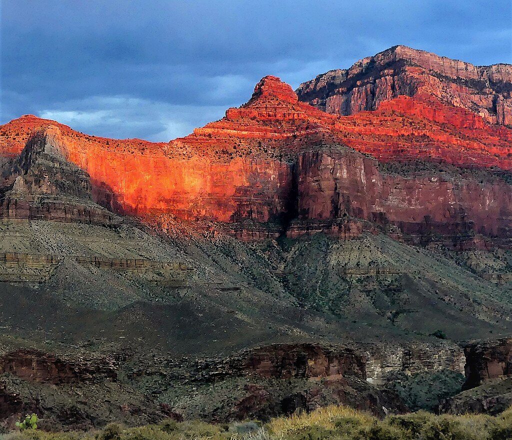
- Geology greatest-hits: Kaibab Limestone, Coconino Sandstone, Hermit Shale and more roll by as you descend.
Wildlife and Trail Etiquette
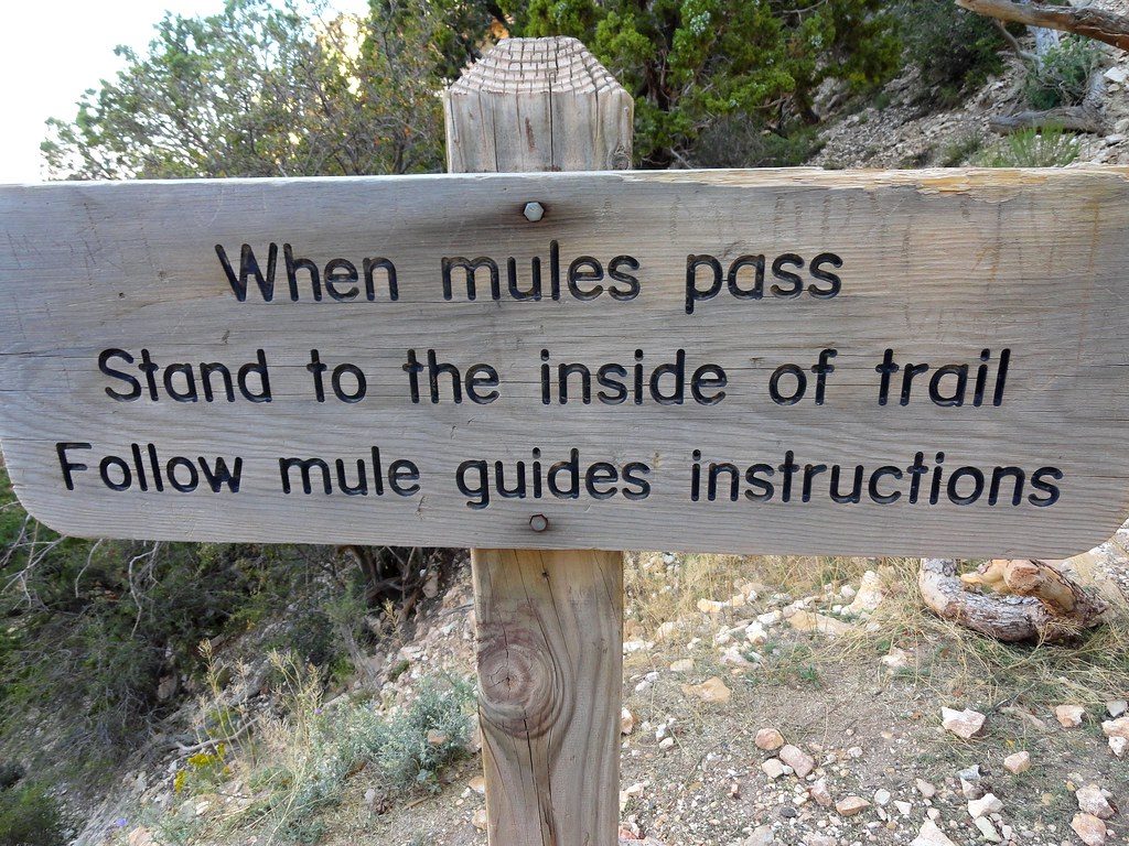
- Keep an eye out for California condors, ravens, rock squirrels, lizards, and the occasional mule deer. Mule trains use this corridor—when they approach, step well off the trail and follow wrangler instructions.
Safety Reality Check
- No water and minimal shade define this trail. It’s steep, exposed, and hot in summer. Plan your fluids and salty snacks before you leave the rim.
- Early starts help beat heat, but the climb back is still serious. In winter, the sun exposure often keeps upper sections clearer of ice than other trails, though conditions can still vary.
Best Time to Visit
- Aim for the first shuttle at dawn in spring or fall for cooler temps and dramatic light. Summer afternoons are a hard no—heat is brutal. In winter, mid-morning to midday can be comfortable thanks to sun exposure. Weekends and early mornings see the most day-hiker traffic near Ooh Aah and Cedar Ridge; crowds thin quickly beyond Cedar Ridge.