Pros & cons
PROS
- First clear view of the Colorado River on South Kaibab
- Panoramic, 360-degree inner-canyon vistas
CONS
- No water along the trail beyond the trailhead
- Fully exposed with little to no shade
- Strenuous climb back to the rim
Overview
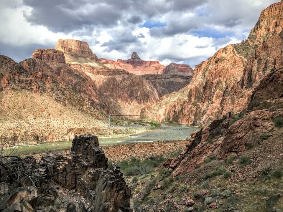
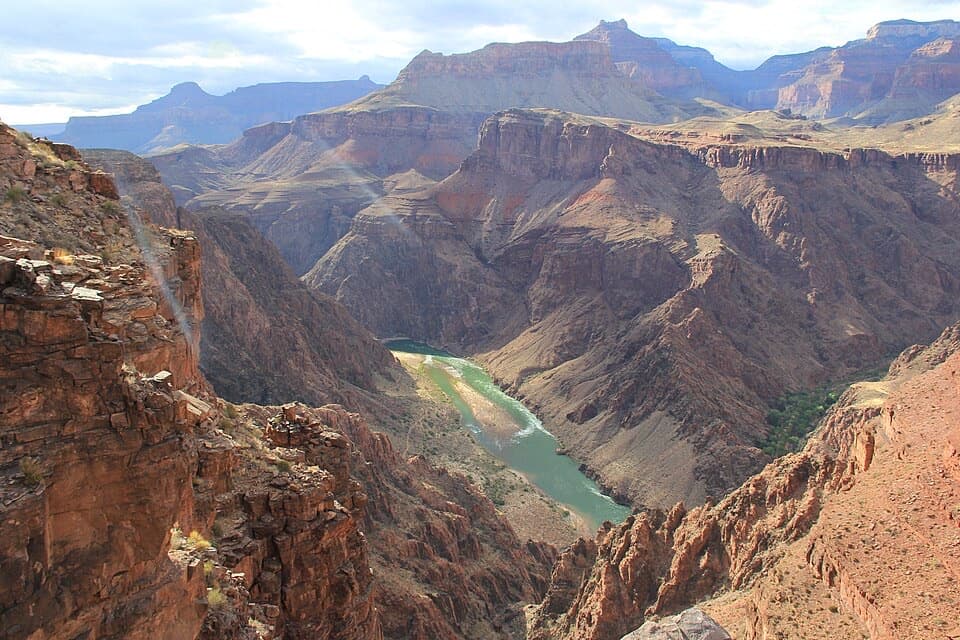
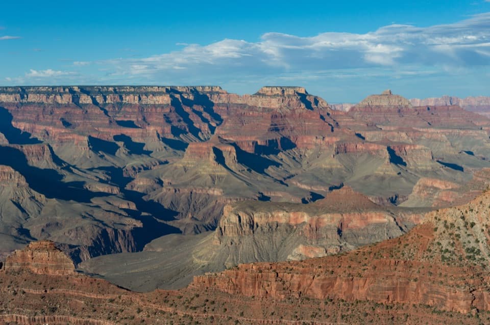
Perched about 2,000 feet below the rim and roughly 3 miles down the South Kaibab Trail, Skeleton Point is the classic mid-canyon turnaround. It’s where you finally earn that first clear glimpse of the Colorado River and step into sweeping 360-degree views that blow past anything you’ll see from the rim.
The Hike
Plan on a 6-mile round-trip with about 2,000 feet of steep elevation change. The descent is deceptively easy; the return is the workout. Expect a fully exposed trail with virtually no shade and no water. Most hikers should budget 4–6 hours, including photo and snack breaks. The National Park Service commonly recommends Skeleton Point as the furthest sensible goal for most day hikers on this trail.
What You’ll See
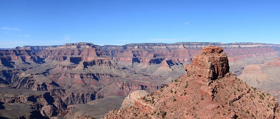
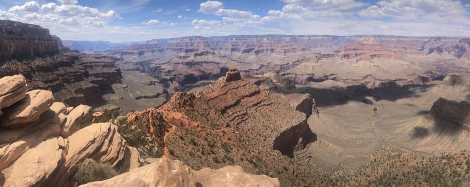
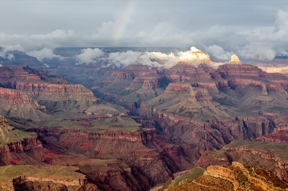
As you drop past O’Neill Butte and Cedar Ridge, the canyon opens up in all directions. From Skeleton Point, the inner gorge sprawls around you and the river comes into view below. The light shifts dramatically through the day, changing the colors and shadows across the rock layers—great for photography if you’re patient.
Wildlife
Keep your eyes open for elk near the rim, along with birds of prey and lizards on quieter stretches. Tarantulas and bold squirrels are also reported—don’t feed wildlife, even if they ask nicely.
Logistics & Amenities
- No water is available anywhere along the South Kaibab section to Skeleton Point—carry what you need.
- The nearest toilets are at Cedar Ridge; there are none at Skeleton Point.
- The South Kaibab Trailhead is accessed by park shuttle (Kaibab Rim/Orange Route); private vehicles aren’t allowed at the trailhead.
History & Geology
Built in the 1920s–30s as a direct, engineer-routed path, the South Kaibab follows airy ridgelines for maximum views—one reason it’s spectacular and also why there’s no water along the route. From Skeleton Point, you’re surrounded by walls of ancient sedimentary layers, a time capsule spanning hundreds of millions of years.
Best Time to Visit
Start at dawn for cooler temps, softer light, and thinner crowds. Midday can be brutally hot on this exposed route. Weekdays see fewer hikers than weekends, and shoulder seasons offer more pleasant temps than peak summer.
Where it is
36.0813, -112.0900Tips for Skeleton Point
- 01Use the Kaibab Rim (Orange) shuttle to reach the South Kaibab Trailhead.
- 02Carry at least 3 liters of water per person; there are no taps on the trail.
- 03Start at dawn—cooler temps, better light, and fewer hikers.
- 04Use the vault toilets at Cedar Ridge; there are none at Skeleton Point.
- 05Budget 4–6 hours and remember the climb out is the hardest part.
Amenities
Near Skeleton Point
All places →All trails →
0.6 mi awaySouth Kaibab TrailheadShuttle-only gateway to the canyon’s most panoramic ridge descentTrailhead · Restroom
0.6 mi awayThe TipoffDeep-canyon junction with shade, toilets, and big inner gorge viewsRestroom · Scenic Viewpoint
0.7 mi awayO'Neill ButtePhotogenic butte anchoring the South Kaibab hike with sweeping viewsScenic Viewpoint
1.2 mi awayCedar RidgeMid-canyon perch with huge views and a convenient toilet stopRestroom · Scenic Viewpoint
1.9 mi awayTrail of TimeWalk a billion years with big canyon views—paved, easy, fascinatingEasy · 2.8 mi · 1.5 hr
2.3 mi awayPipe Creek Vista to Bright Angel Lodge (Rim Trail)Easy rim walk with nonstop views and flexible shuttle logisticsEasy · 3.2 mi · 1.8 hr
2.6 mi awayRim TrailEffortless South Rim stroll with nonstop Grand Canyon views.Easy · 13 mi · 6 hr
3.4 mi awayShoshone Point TrailEasy forest stroll to a quiet, sweeping South Rim promontoryEasy · 2 mi · 1 hr