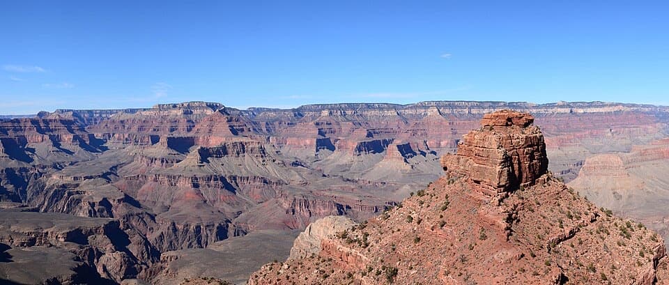
Cedar Ridge in Grand Canyon National Park

Sight · Grand Canyon National Park

Cedar Ridge

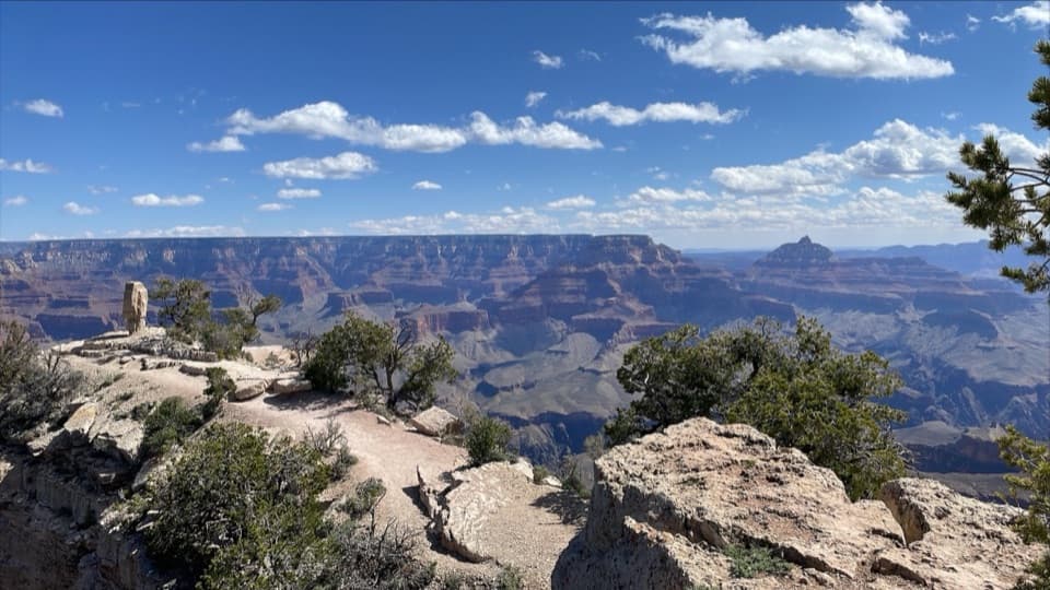
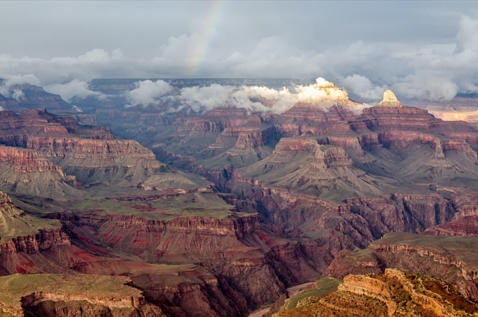
A good first canyon hike, with wide views of O’Neill Butte.

Photo: Wikimedia Commons
Type
Sight
Nearest trail
0.8 mi
Audio stories
8 nearby
  • Restrooms
  • Scenic viewpoint

Hear the audio tour

Yaki Point and South Kaibab Access

Overview

About Cedar Ridge

Why stop

  • Wide canyon views without going all the way to Skeleton Point.

Heads up

  • Steep, exposed climb back up the same trail.

Map

Where it is

Loading the Grand Canyon map
Full map
SightCedar Ridge36.06416, -112.08961
Keep this map with you offline in the Parkwolf app

Plan your stop

Before you go

4 active Grand Canyon alerts

  • ClosureInner Canyon and North Rim trail closuresDo not enter the closed trails, bridges, campgrounds, and inner-canyon areas.Official details
  • ClosureNorth Rim scenic roads closed for repairsCape Royal Road and Point Imperial Road are closed from sunset October 15 through sunrise November 3, 2026. - The roads are closed to accommodate critical road repair and rehabilitation work.Official details

See all 4 alerts
A park ranger sits on a dash-mounted phone, talking, as Parkwolf’s Tour Guide plays “Army Cutworm Moths: A Grizzly Bear Buffet” on Grand Loop Road below Dunraven Pass in Yellowstone
Parkwolf Tour GuideThe highest, rockiest slopes around here are a summer buffet for grizzly bears.

Grand Canyon Tour Guide

Your drive to Cedar Ridge, narrated.

Parkwolf is a GPS audio tour guide for Grand Canyon National Park. As you drive, it chimes in with what’s ahead: hidden gems, upcoming stops, history, geology, and wildlife, right through your car’s speakers.

See the Grand Canyon audio tour

Recorded for this place

Yaki Point and South Kaibab Access
0:00 / 0:31
“The access road for Yaki Point and South Kaibab Trailhead is coming up. Private cars can't use the spur; park at the Visitor Center and take the free Orange Route shuttle.”

Plays as you drive up to Cedar Ridge in the Parkwolf Grand Canyon Tour Guide.

More stories near here in the app

  • Pipe Creek Vista’s Shaded Walls
  • Mather Point and Visitor Center
  • Trailer Village’s Full-Hookup RV Sites
  • Yavapai Geology Museum
  • 79 audio storiesacross Grand Canyon’s roads, triggered by GPS as you drive
  • Wildlife heatmapsfor California Condor, Bighorn Sheep, American Bison, and 13 more
  • Works offlinemaps, 73 trails, 96 places, and audio download before you lose signal
  • CarPlay readysimple controls built for the drive
★★★★★
“Fantastic app with many points of information… It’s great to just turn on while you’re driving and it gives you an audio tour of the national Park. We love it!!!!”
JMJamesApp Store review
Download Parkwolf on the App StoreGet Parkwolf on Google Play

4.7 from 8,600+ ratings

Guide

More about Cedar Ridge

A first hike below the rimCedar Ridge is a broad rest area on the South Kaibab Trail, 1.

Cedar Ridge is a broad rest area on the South Kaibab Trail, 1.5 miles one way from the trailhead. It’s a smart turnaround if you want a real canyon hike without going on to Skeleton Point: the round trip is three miles, and the ridge gives you an open view into the canyon.

The climb back outThe trail drops about 1,140 feet to the ridge on steep, well-defined dirt switchbacks with very…

The trail drops about 1,140 feet to the ridge on steep, well-defined dirt switchbacks with very little shade. You retrace the same route uphill, and the climb out takes longer than the descent. Treat Cedar Ridge as a real hike, not a quick add-on to a rim stop.

Get there preparedThere’s no public parking at the South Kaibab trailhead, so take the Kaibab (Orange Route)…

There’s no public parking at the South Kaibab trailhead, so take the Kaibab (Orange Route) shuttle from the Visitor Center. Cedar Ridge has restrooms but no drinking water; carry what you’ll need from the rim.

Take in the ridgeThe rest area opens to broad canyon views, with O’Neill Butte rising just ahead and the deeper…

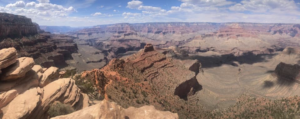
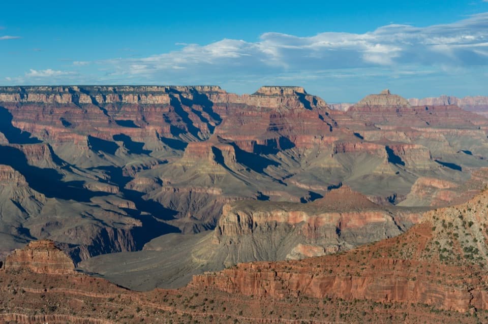
The rest area opens to broad canyon views, with O’Neill Butte rising just ahead and the deeper layers beyond it. Scattered junipers give you a few pockets of shade; most of the ridge is open. For a photo, keep O’Neill Butte off-center and include the canyon layers around it to show the scale of the drop.

Read the rockThe switchbacks from Ooh-Aah Point cut across Coconino Sandstone, where the cross-bedded lines…

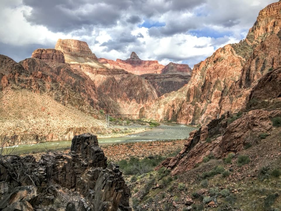
The switchbacks from Ooh-Aah Point cut across Coconino Sandstone, where the cross-bedded lines show in the cliffs. Cedar Ridge is one stop on a route through the canyon’s deep stack of rock layers, which record nearly two billion years of geologic history.

Wildlife

Wildlife in Grand Canyon

All Grand Canyon wildlife maps

Sighting maps show where each species has been reported across Grand Canyon. Wildlife moves, so no sighting is guaranteed.

Keep exploring

Near Cedar Ridge

See it all on the map

Trails nearby

More stops nearby

Parkwolf’s Grand Canyon ranking

Top sights in Grand Canyon

All 96 places
  1. 1Mather PointSight
  2. 2Desert View WatchtowerSight
  3. 3Yavapai Geology MuseumSight
  4. 4Hopi PointSight
  5. 5Toroweap OverlookSight
  6. 6Point ImperialSight

Take Parkwolf to Grand Canyon.

The audio tour guide for the drive, plus offline maps, trails, and wildlife heatmaps for when the signal drops.

4.7 from 8,600+ ratings

Download Parkwolf on the App StoreGet Parkwolf on Google Play