Rim Trail in Grand Canyon National Park

#4 of 73 trails in Grand Canyon

Grand Canyon National Park, AZ

Rim Trail

The full 12.8-mile rim walk, easiest to sample by shuttle.

Photo: National Park Service
Length
12.8mi
Time
7hr
Elev. change
531ft
Difficulty
Moderate
  • Dogs allowed
  • High point 7,198 ft

Hear the audio tour

Yaki Point and South Kaibab Access

Overview

About Rim Trail

Why go

  • Broad canyon views along a long, varied rim corridor.
  • Frequent shuttle stops make shorter one-way walks easy to plan.

Heads up

  • The full east-to-west route is 12.8 miles one way.
  • The western walk includes a dirt section, stairs, and uneven accessibility.

Map & elevation

The route

Loading the Grand Canyon map
Full map
Elevation6,667–7,198 ft
TrailheadSouth Kaibab Trailhead36.05296, -112.08390
Keep this map with you offline in the Parkwolf app

Plan your hike

Before you go

Parking

South Kaibab Trailhead has no public parking; take the year-round Orange Route from Grand Canyon Visitor Center. The Red Route serves Hermit Road March through November. From December through February, private vehicles under 22 feet may drive Hermit Road, weather permitting.

Safety

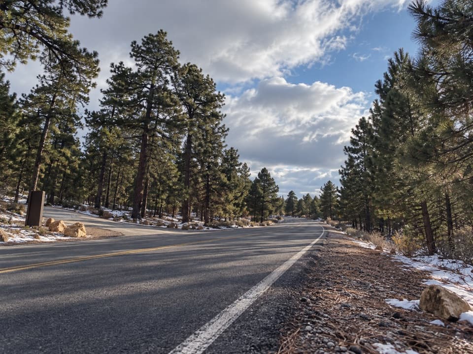
The path runs close to the canyon rim; stay at least six feet back and obey barriers. There is no water along the trail itself, so plan refills and check current service availability. The west-side dirt tread, grades, and stairs need care. Snow can make the route icy in winter; summer thunderstorms bring lightning.

4 active Grand Canyon alerts

  • ClosureInner Canyon and North Rim trail closuresMentions this trailDo not enter the closed trails, bridges, campgrounds, and inner-canyon areas.Official details
  • ClosureNorth Rim scenic roads closed for repairsCape Royal Road and Point Imperial Road are closed from sunset October 15 through sunrise November 3, 2026. - The roads are closed to accommodate critical road repair and rehabilitation work.Official details
See all 4 alerts
A park ranger sits on a dash-mounted phone, talking, as Parkwolf’s Tour Guide plays “Army Cutworm Moths: A Grizzly Bear Buffet” on Grand Loop Road below Dunraven Pass in Yellowstone
Parkwolf Tour GuideThe highest, rockiest slopes around here are a summer buffet for grizzly bears.

Grand Canyon Tour Guide

Your drive to Rim Trail, narrated.

Parkwolf is a GPS audio tour guide for Grand Canyon National Park. As you drive, it chimes in with what’s ahead: hidden gems, upcoming stops, history, geology, and wildlife, right through your car’s speakers.

See the Grand Canyon audio tour

Recorded for this trailhead

Yaki Point and South Kaibab Access
0:00 / 0:31
“The access road for Yaki Point and South Kaibab Trailhead is coming up. Private cars can't use the spur; park at the Visitor Center and take the free Orange Route shuttle.”

Plays as you drive up to this trailhead in the Parkwolf Grand Canyon Tour Guide.

More stories near here in the app

  • Pipe Creek Vista’s Shaded Walls
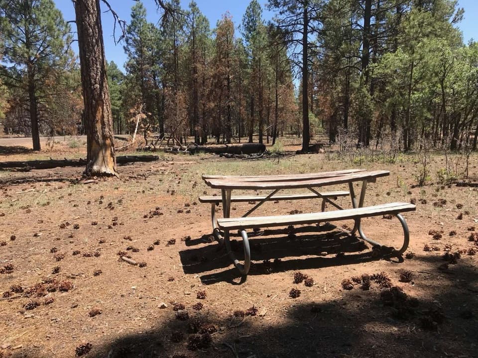
  • Range Road Picnic Area’s Pine-Shaded Tables
  • Shoshone Point’s Forest Walk
  • Mather Point and Visitor Center
  • 79 audio storiesacross Grand Canyon’s roads, triggered by GPS as you drive
  • Wildlife heatmapsfor California Condor, Bighorn Sheep, American Bison, and 13 more
  • Works offlinemaps, 73 trails, 96 places, and audio download before you lose signal
  • CarPlay readysimple controls built for the drive
★★★★★
“Fantastic app with many points of information… It’s great to just turn on while you’re driving and it gives you an audio tour of the national Park. We love it!!!!”
JMJamesApp Store review
Download Parkwolf on the App StoreGet Parkwolf on Google Play

4.7 from 8,600+ ratings

Trail guide

Hiking Rim Trail

The full walk, or a sectionThe Rim Trail is a 12.

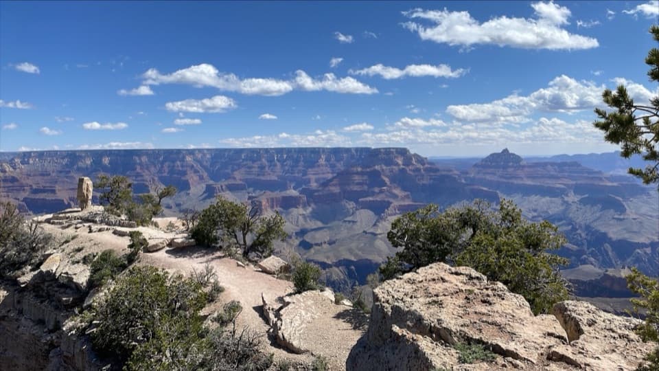
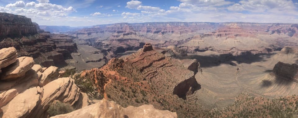
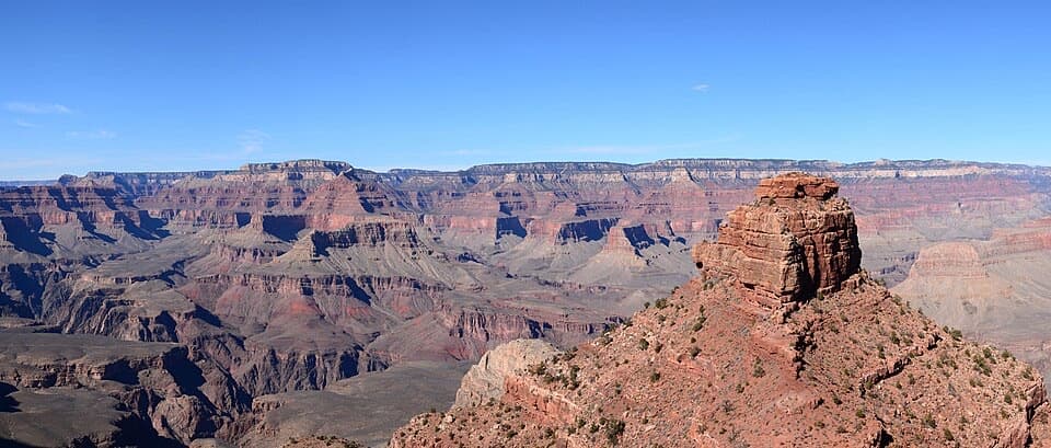
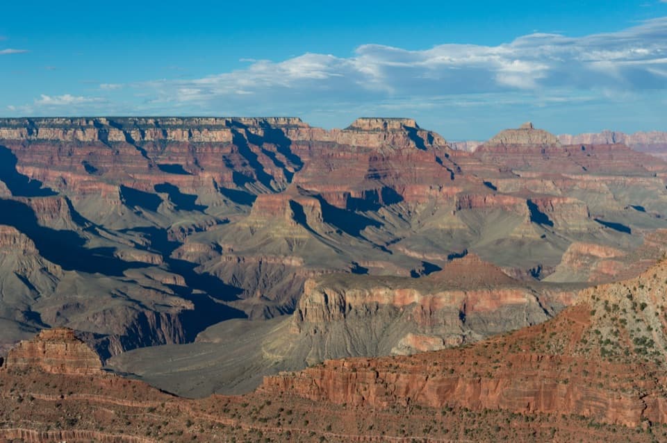
The Rim Trail is a 12.8-mile, one-way route along Grand Canyon's South Rim, from South Kaibab Trailhead to Hermits Rest. It links paved rim paths, village viewpoints, and Hermit Road overlooks, with canyon views along much of the way. The full end-to-end walk is a full-day outing; most people get more out of choosing a section and using the shuttles to connect the ends. With time at overlooks, allow about six to eight hours. It is mostly easy walking, but the distance, a dirt section, stairs, grades, and the close rim edge make it more than a stroll.

From South Kaibab to the VillageStart at South Kaibab Trailhead and follow the rim west through Pipe Creek Vista to Mather…

Start at South Kaibab Trailhead and follow the rim west through Pipe Creek Vista to Mather Point. The east end is mostly paved, with shuttle stops that make it easy to divide into shorter walks. Mather to Yavapai Point is only 0.7 mile; that's my pick if you want a good view walk without giving up half a day. The Orange Route serves both ends. Keep walking and the trail carries you past the Visitor Center into Grand Canyon Village, where you'll find restrooms and other services.

Walk through deep timeBetween Yavapai Geology Museum and the village, the Rim Trail overlaps the Trail of Time, a…

Between Yavapai Geology Museum and the village, the Rim Trail overlaps the Trail of Time, a paved geology walk marked by bronze markers and rocks set into the path. Each meter represents one million years. It gives this stretch something to notice underfoot as well as across the canyon: the Colorado River has carved the canyon for about five to six million years, while the oldest rocks exposed here are around 1.8 billion years old.

West along Hermit RoadBeyond the village, the path links a string of overlooks, including Trailview, Powell, Hopi,…

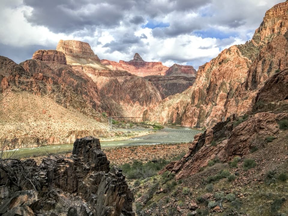
Beyond the village, the path links a string of overlooks, including Trailview, Powell, Hopi, Mohave, The Abyss, and Pima Point. Trailview looks down on Bright Angel's switchbacks; Powell Point has a memorial to the Colorado River expeditions of 1869 and 1871 to 1872. The surface changes, too. Pavement gives way to a narrow, three-foot dirt tread between Powell Point and Monument Creek Vista, then the Hermit Road Greenway becomes a wider paved path. Short steep grades and stairs appear elsewhere, so accessibility varies by section. At Pima Point, look toward Granite Rapids far below; when the canyon is quiet, you may hear it.

Hermits Rest and the returnHermits Rest is a satisfying western endpoint.

Hermits Rest is a satisfying western endpoint. Mary Colter designed its 1914 stone building to look like a miner's cabin; it has a small snack bar, shop, and restrooms. The Red Route shuttle serves Hermit Road from March through November. From December through February, private vehicles under 22 feet may use the road, weather permitting, but the Red Route does not run. Leashed pets can walk the Rim Trail but cannot ride park shuttles. South Kaibab is also shuttle access only, with no public parking at the trailhead, so sort out both ends before you set off.

Plan for the rimThere is no water along the trail itself.

There is no water along the trail itself. Refill at established service areas and check current water availability before starting; on a 12.8-mile walk, don't count on a single stop. Keep at least six feet back from the canyon edge and obey barriers. Snow can leave the path slippery or icy in winter, and summer thunderstorms bring lightning. If you want the views without the full-day commitment, walk a shorter section and use the shuttles to return.

Wildlife

Wildlife in Grand Canyon

All Grand Canyon wildlife maps

Sighting maps show where each species has been reported across Grand Canyon. Wildlife moves, so no sighting is guaranteed.

Keep exploring

Near Rim Trail

See it all on the map

Trails that start nearby

Places near the trailhead

Parkwolf’s Grand Canyon ranking

Top-rated trails in Grand Canyon

All 73 trails
  1. 1Rim-to-Rim: North Kaibab to Bright AngelChallenging · 23.5 mi
  2. 2South Kaibab TrailChallenging · 6.3 mi
  3. 3Bright Angel TrailChallenging · 7.8 mi
  4. 5Rim-to-Rim: South Kaibab to North KaibabChallenging · 21 mi
  5. 6Cape Royal TrailEasy · 0.8 mi
  6. 7South Kaibab–Bright Angel LoopChallenging · 15.8 mi

Take Parkwolf to Grand Canyon.

The audio tour guide for the drive, plus offline maps, trails, and wildlife heatmaps for when the signal drops.

4.7 from 8,600+ ratings

Download Parkwolf on the App StoreGet Parkwolf on Google Play