Parking
Start at the unsigned dirt pullout and gate on Desert View Drive, just west of mile marker 246 and about 1.2 miles beyond Yaki Point Road. NPS does not publish the number of parking spaces.
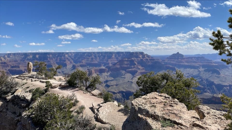
Grand Canyon National Park, AZ
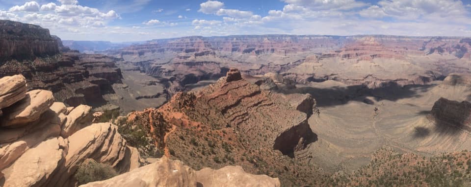
Pines open to a rugged rim point with a North Rim view.
Overview
Map & elevation
Plan your hike

The highest, rockiest slopes around here are a summer buffet for grizzly bears.
Grand Canyon Tour Guide
Parkwolf is a GPS audio tour guide for Grand Canyon National Park. As you drive, it chimes in with what’s ahead: hidden gems, upcoming stops, history, geology, and wildlife, right through your car’s speakers.
See the Grand Canyon audio tourRecorded for this trailhead
Shoshone Point’s Forest Walk“Shoshone Point's unsigned trailhead is coming up, for a mostly level, two-mile round trip through ponderosa pines to a broad canyon view.”
Plays as you drive up to this trailhead in the Parkwolf Grand Canyon Tour Guide.
More stories near here in the app
“Fantastic app with many points of information… It’s great to just turn on while you’re driving and it gives you an audio tour of the national Park. We love it!!!!”


Trail guide
Shoshone Point Trail is a 2-mile out-and-back from an unsigned pullout on Desert View Drive to a quiet overlook on the canyon rim. The old dirt road gains only about 100 feet over roughly a mile each way. It is a good choice if you want a short walk through the forest before a broad canyon view; allow about 1–2 hours with time at the point. Look for the gate at the pullout just west of mile marker 246, about 1.2 miles beyond Yaki Point Road.
Follow the old road through ponderosa pine. Near the rim, the trees shift to pinyon-juniper. The route stays easy underfoot for most of the way, then gets rockier near the viewpoint. Return the same way. During spring snowmelt, the dirt road can turn very muddy, so stay on the road rather than cutting across the woods.
The point faces north-northeast, toward the Desert View Watchtower and across the canyon to the North Rim. From firm ground, frame the mushroom-shaped rock with the canyon behind it for a sense of scale. There is a covered pavilion, picnic tables, grills and a vault toilet at the event area, but no water or electricity; those facilities are at the point, not the trailhead.
The last ledges are narrow and loose, with no guardrail. A fall could be fatal, so enjoy the view from stable ground instead of pressing to the edge. The point can be reserved for private gatherings. A reservation permit is for those events, not a normal hike; if the gate is open or unlocked, the park asks visitors to reconsider and give event users space.
The point is named for the Shoshone people. Their historic homeland extended across parts of today’s Nevada, Utah, Idaho, Wyoming and California, and Shoshone communities still live across the West. Leashed pets are allowed on trails above the rim; keep a dog on a leash no longer than six feet here.
Wildlife
 718 sightingsCalifornia CondorMost seen around 5 PMSighting map
 533 sightingsBighorn SheepMost seen around 7 AMSighting map
 169 sightingsAmerican BisonMost seen around 7 PMSighting map
 1,891 sightingsElkMost seen around 6 AMSighting map
 59 sightingsCoyoteMost seen around 6 PMSighting map
 27 sightingsGray FoxMost seen around 6 AMSighting map
Sighting maps show where each species has been reported across Grand Canyon. Wildlife moves, so no sighting is guaranteed.
Keep exploring
 ChallengingSouth Kaibab Trail6.3 mi · 5 hr · 1.5 mi awayA steep ridge descent with a first river view at Skeleton Point.
 ModerateRim Trail12.8 mi · 7 hr · 1.5 mi awayThe full 12.8-mile rim walk, easiest to sample by shuttle.
 ChallengingRim-to-Rim: South Kaibab to North Kaibab21 mi · 16 hr · 1.5 mi awayA one-way canyon crossing from the South Rim to the North Rim.ChallengingSouth Kaibab–Bright Angel Loop15.8 mi · 14 hr · 1.5 mi awayA 15.8-mile canyon traverse from South Kaibab to the Bright Angel rim.
 EasyThe Trail of Time3.3 mi · 2 hr · 3.4 mi awayA paved timeline where every meter spans a million years.
 ModerateClear Creek (from the Colorado River)1.4 mi · 2 hr · 3.7 mi awayA river beach, schist scramble and a waterfall that throws water sideways.
 ChallengingBright Angel Trail7.8 mi · 4.5 hr · 4.4 mi awayCanyon layers, mule trains and a 4,400-foot descent to the river.
 ChallengingPlateau Point Trail12 mi · 10.5 hr · 4.4 mi awayA long descent earns a wide view of the Colorado River.
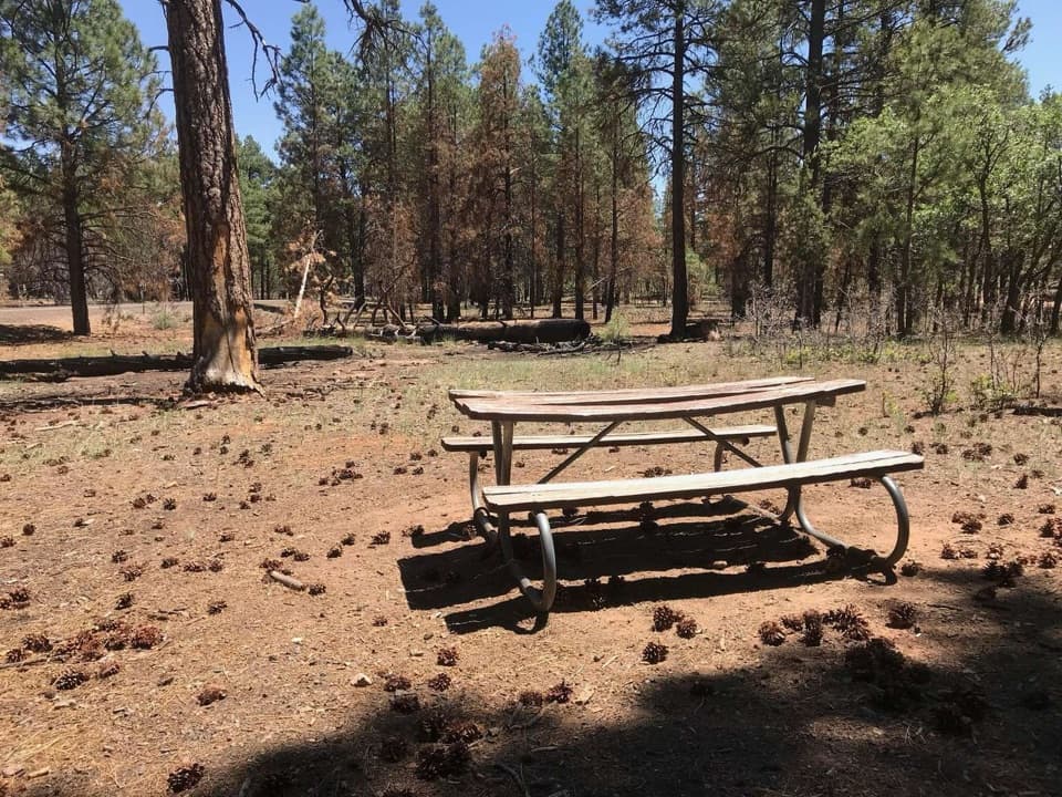 Picnic area · 0.3 mi awayRange Road Picnic AreaA practical picnic break beneath the pines along Desert View Drive.Sight · 0.9 mi awayShoshone PointA two-mile forest walk leads to a quieter canyon-rim view.
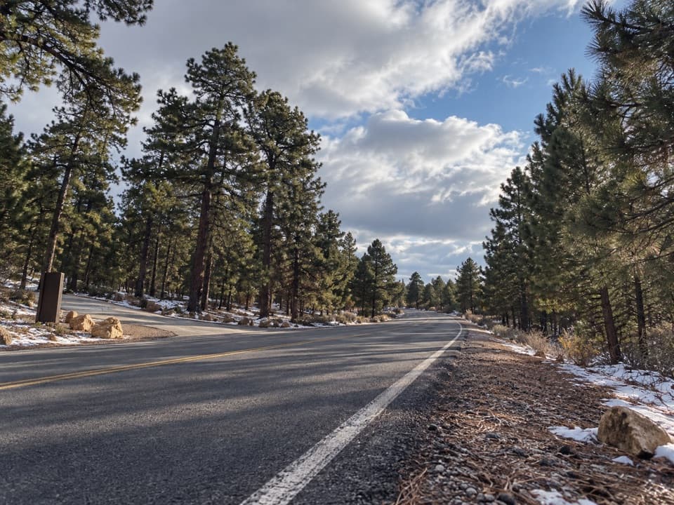 Picnic area · 1.2 mi awayYaki Point Road Picnic AreaShaded picnic tables near South Kaibab; the lot is very limited.
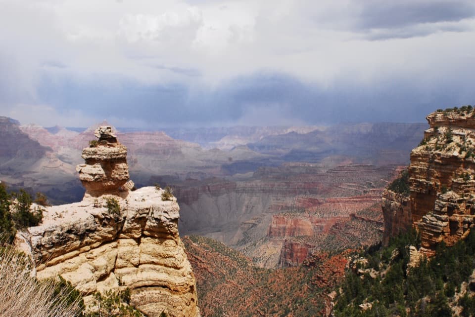 Scenic pullout · 1.5 mi awayDuck on a RockA named rock profile makes this quick canyon pullout memorable.
 Sight · 1.6 mi awayPipe Creek VistaA canyon view framed by Mather and Yaki points.
 Sight · 1.8 mi awayYaki PointTake the Orange shuttle to a quieter, east-facing canyon view.
 Scenic pullout · 2 mi awayTwin OverlooksTwo quick pullouts for a big canyon view from the road.
 Sight · 2.1 mi awayOoh Aah PointFirst canyon panorama below the rim, with a steep climb back.
Parkwolf’s Grand Canyon ranking

The audio tour guide for the drive, plus offline maps, trails, and wildlife heatmaps for when the signal drops.

