
Place · 0 mi away
Moderate
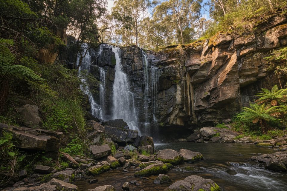
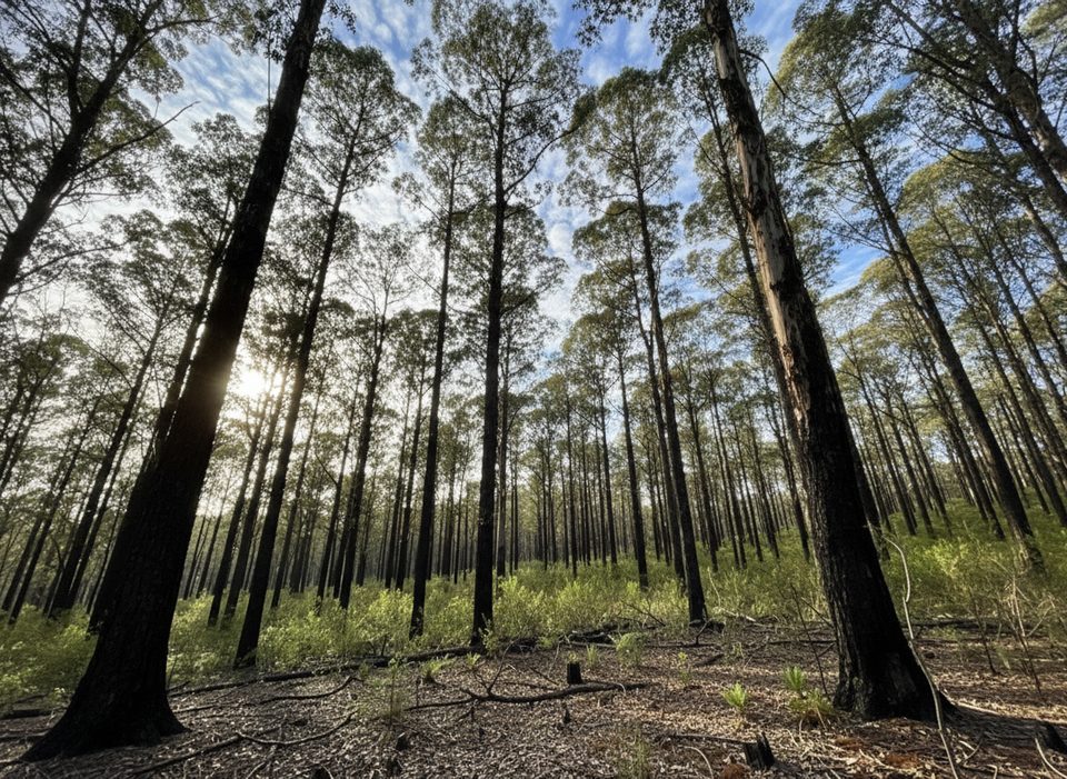
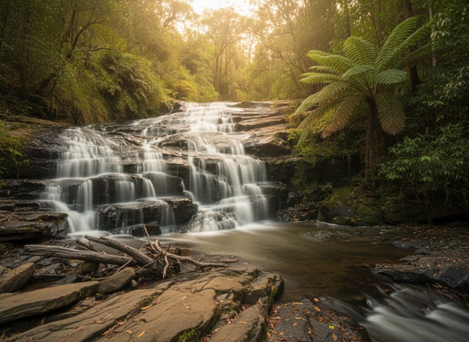
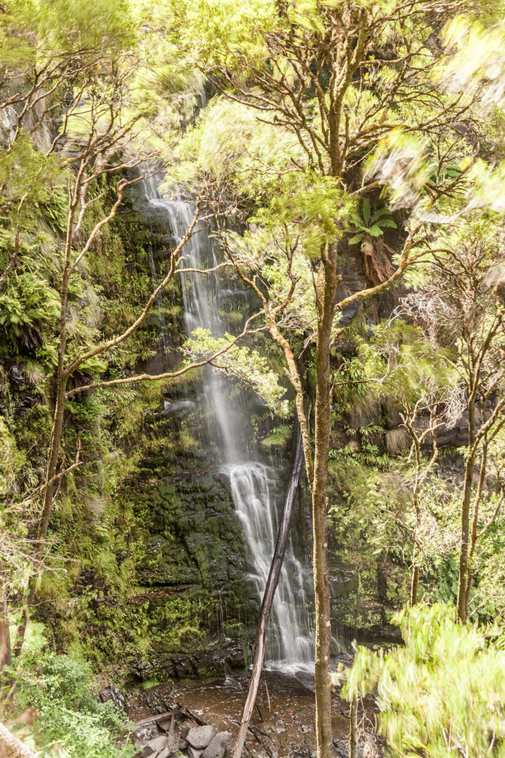
This is a moderate 11–12 km loop (about 7.2 miles total) starting and finishing at Distillery Creek Picnic Area near Aireys Inlet. Expect a well‑graded track with some rugged, rocky patches and steady undulations rather than big climbs. It’s a shared trail, so you may encounter mountain bikes. The waterfall is often just a trickle—go after solid rain if flowing water is a must.
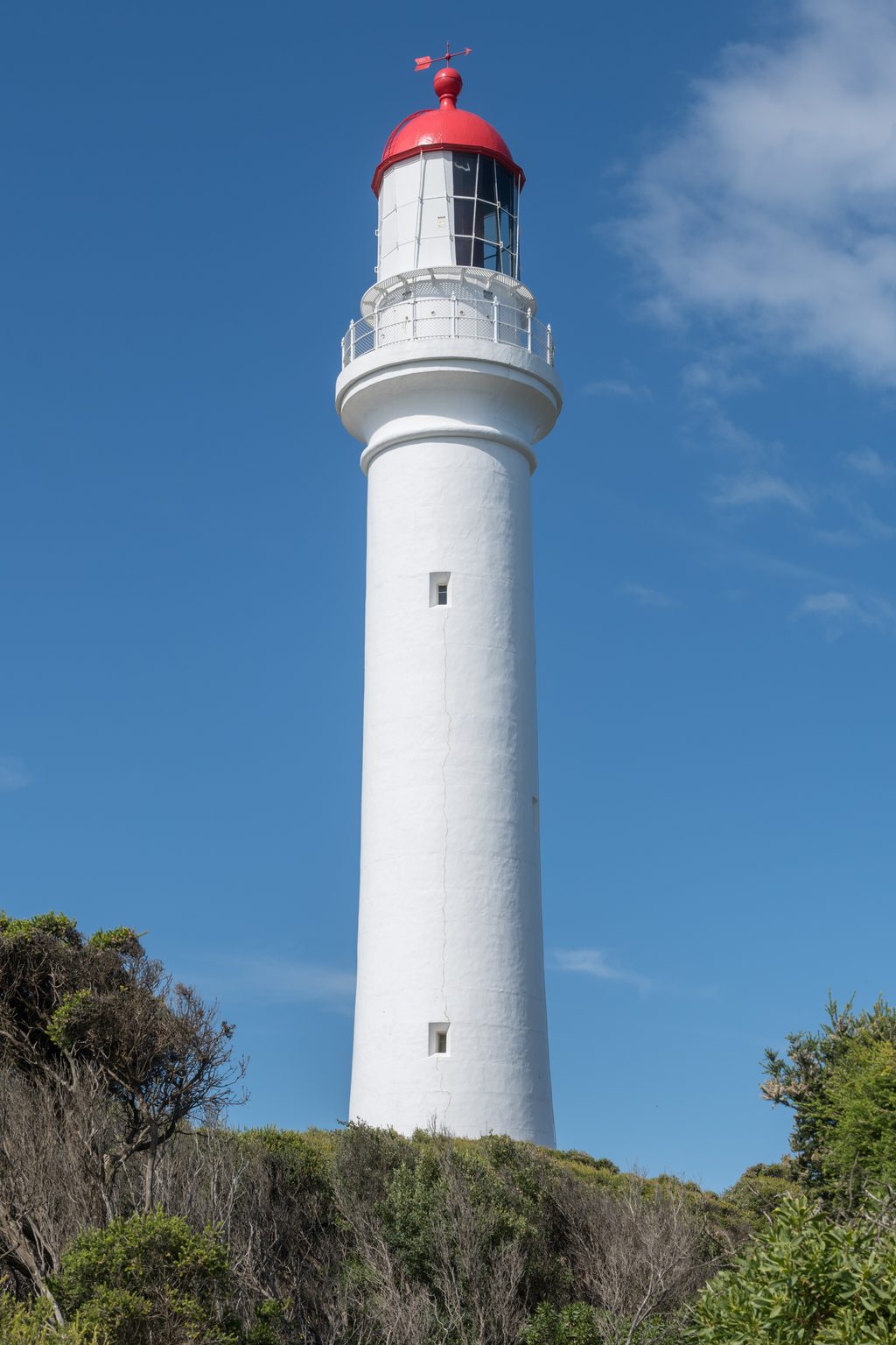
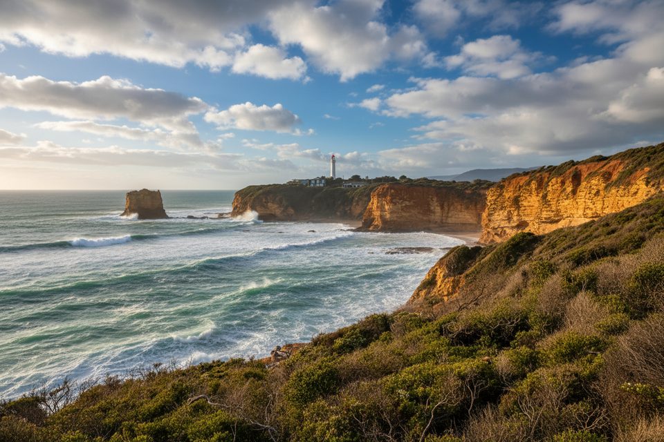
The circuit threads through a mix of Ironbark forest, heath dotted with tree ferns, and the intriguing Melaleuca Swamp. Ancient flowering grass trees pop up in the drier sections, and spring can bring a carpet of wildflowers. Keep an eye out for koalas and swamp wallabies, and listen for yellow robins in the thicker scrub. In a few open spots you’ll snag views toward Split Point Lighthouse.
From the Distillery Creek Picnic Area, most hikers prefer anti‑clockwise for a gentler start along Distillery Creek before rising to the higher ground and looping past the Currawong Falls area. The track is generally straightforward but can feel rough underfoot in places. Shared‑use etiquette matters here: expect “blind corner” moments—slow down, call out, and keep to the side where sightlines are short.
Year‑round access, but timing changes the experience. After rain, the falls and creek come alive. Spring is prime for wildflowers and active birdlife. Shade varies (some sections show fire‑regrowth), so bring sun protection on bright days. Early starts help you enjoy calmer conditions and fewer bike encounters.
Trailhead parking, toilets, and picnic tables are at Distillery Creek Picnic Area. Reaching it is easy from Aireys Inlet via Bambra Road. The area carries a bit of history too—Distillery Creek takes its name from an illicit late‑1800s operation once hidden in these gullies.
Dogs aren’t permitted. Unstable cliffs are signed near lookouts—mind the edges. Natural trip hazards from echidna and long‑nosed bandicoot diggings are most common around dawn and dusk, so good boots and a headlamp help if you’re starting or finishing in low light. Always check for any changed conditions or closures before you head out.
Lower Distillery Creek Car Park and Picnic Area off Bambra Road (toilets and picnic tables).
Shared with mountain bikes (blind corners), unstable cliff edges near lookouts, and trip hazards from echidna/bandicoot diggings; check for closures before visiting.
Place · 0 mi away
Place · 1.4 mi away
Place · 1.8 mi away
Place · 1.8 mi away
Easy · 2.1 mi away
Moderate · 10.3 mi away
Moderate · 10.4 mi away
Moderate · 10.7 mi away

Parkwolf Tour Guide
