Distillery Creek Picnic Area

Shady ironbark picnic hub with easy walks and rich birdlife
Distillery Creek Picnic Area, Great Otway National Park
InsideGreat Otway National Park

Overview

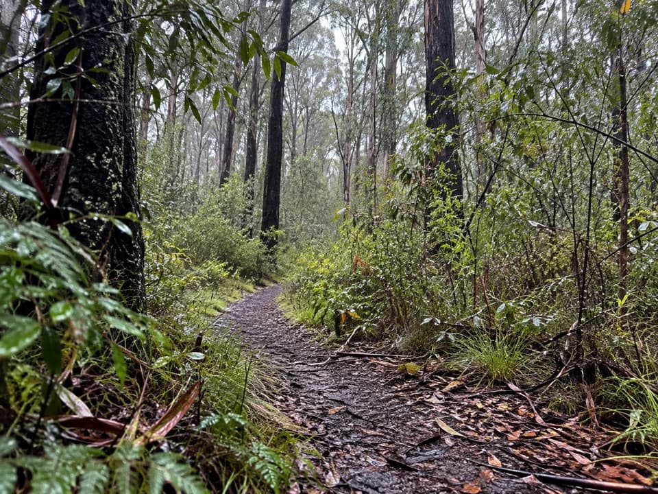
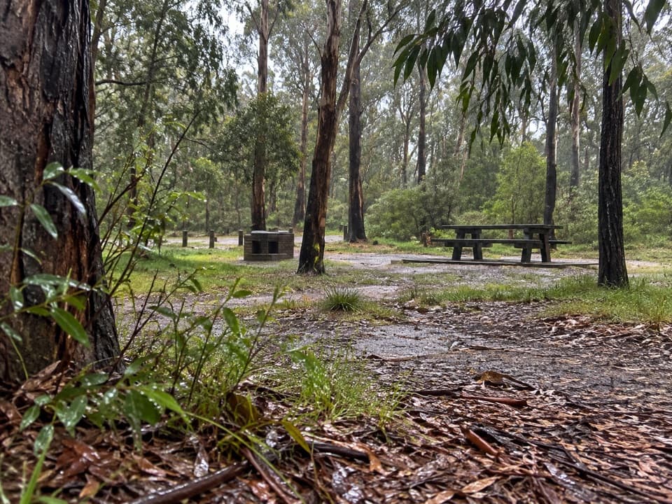
Set in tall ironbark forest behind Aireys Inlet, Distillery Creek Picnic Area is a relaxed day‑use hub with two separate picnic grounds (Upper and Lower). It’s the kind of spot where you can fire up a wood barbecue for lunch, then wander straight onto mellow nature trails or commit to a longer circuit.

What You’ll See

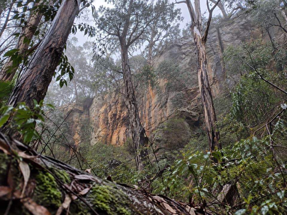
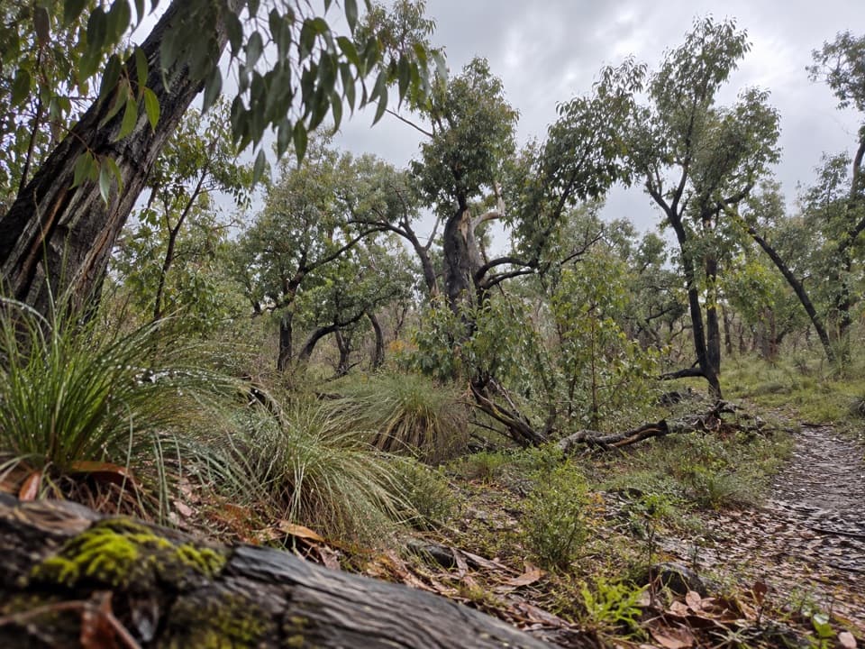
Expect classic dry eucalypt (red ironbark) with seasonal pops of wildflowers. In late winter and spring, look for wattles and daisy-bush, and along the creek flats you’ll find damper patches with boardwalk sections. Koalas and wallabies are regulars, and the picnic-ground waterhole and nearby wetland draw honeyeaters, fairy‑wrens, robins and fantails.

Trails From Here

  • Distillery Creek Nature Trail (about 1.5 km loop): an easy, self‑guided walk with interpretive signs through ironbark forest. No bikes, horses or vehicles on this one.
  • Currawong Falls Circuit (~10–10.5 km, 3–4 hours): varied forest and gullies; the falls themselves are often dry unless after solid rain.
  • Other options include Ironbark Gorge and Ted’s Ridge circuits, plus shared tracks toward Painkalac Dam and Moggs Creek.

Facilities and Rules

Both picnic areas have tables and wood‑fired BBQs (bring your own firewood) and a flushing toilet block by the upper car park. No camping. Dogs are allowed on‑lead in the Upper Day Visitor Area but are not permitted on the Distillery Creek Nature Trail; dogs are also not allowed on the Currawong Falls track. Bins aren’t always provided—plan to carry out your rubbish. Check Parks Victoria for any changed conditions or closures.

Wildlife Notes

Keep your eyes up for dozing koalas in manna gums and listen for honeyeaters in flowering seasons. Around the wet areas, patient birders can add fairy‑wrens, Eastern Yellow Robins, Grey Fantails and more. Echidna and bandicoot diggings are common—watch your footing on tracks.

A Bit of Context

Local lore says the creek took its name from an illicit distillery operating in the late 1800s. You’ll also notice ironbark trunks with fire scars—a reminder that fire shaped this landscape, including major bushfires in the 1980s.

Getting There

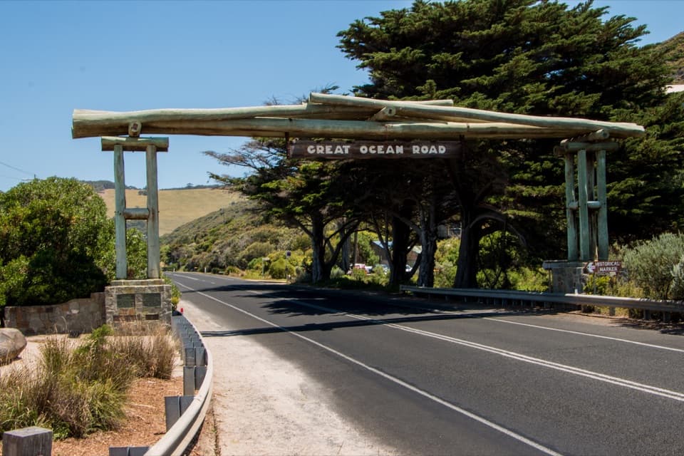
From the Great Ocean Road at Aireys Inlet, turn up Bambra Road; the picnic areas sit just beyond the junction with Distillery Creek Road. It’s roughly a 30‑minute drive east from Lorne.

Best Time to Visit

Weekdays are pleasantly quiet. On weekends—especially Saturdays—arrive before mid‑morning for easier parking and a calmer vibe. Early and late light is great for photos, and birdlife is most active around dawn. For Currawong Falls, go after recent rain if the waterfall is a must‑see.

Pros

  • Two shaded picnic grounds with tables, wood BBQs and flushing toilets
  • Handy trailhead for easy loops and longer circuits
  • Short stroll to a seasonal wetland with good birdlife

Cons

  • Currawong Falls is often dry; the walk can feel long for the payoff
  • Trail signage can be patchy on longer loops—bring a map
  • Bins may be limited; you’ll need to pack out rubbish

Tips

  • Bring your own firewood for the wood barbecues.
  • Start Currawong Falls early and after rain—the falls are often dry.
  • Park at the upper area for the main toilet block and info board.
  • Carry a map or GPS; wayfinding can be unclear on longer circuits.
  • Dogs on‑lead are fine at the picnic area but not on the Nature Trail or Currawong Falls.
The Parkwolf tour guide sitting on a phone mounted in a car

Parkwolf Tour Guide

Like a tour guide in your car.

Save the places you found around Great Otway, then let Parkwolf guide the drive between them.Download Parkwolf on the App Store