
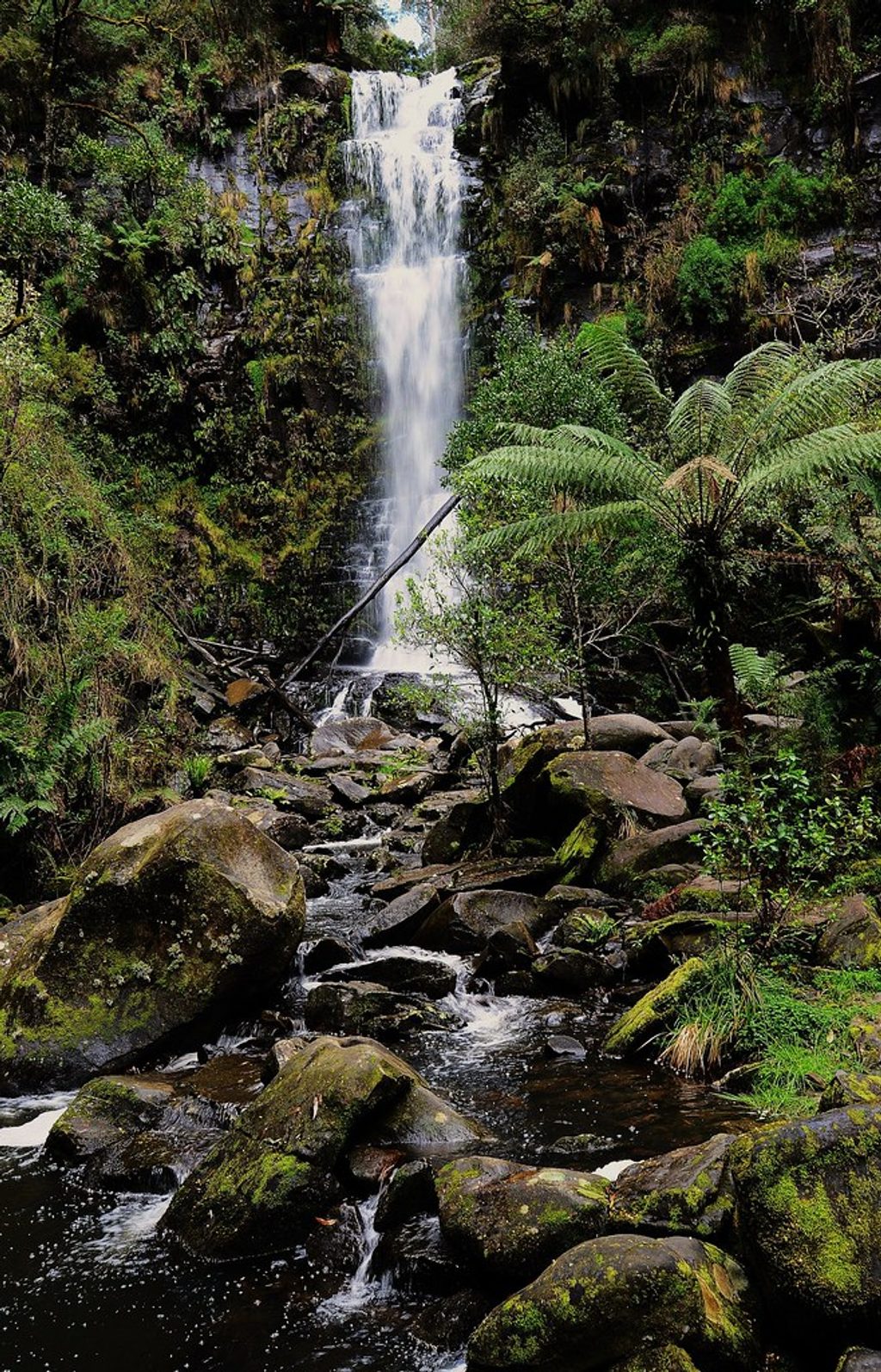
Place · 1.1 mi away
Moderate
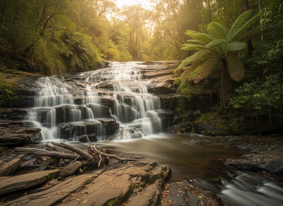
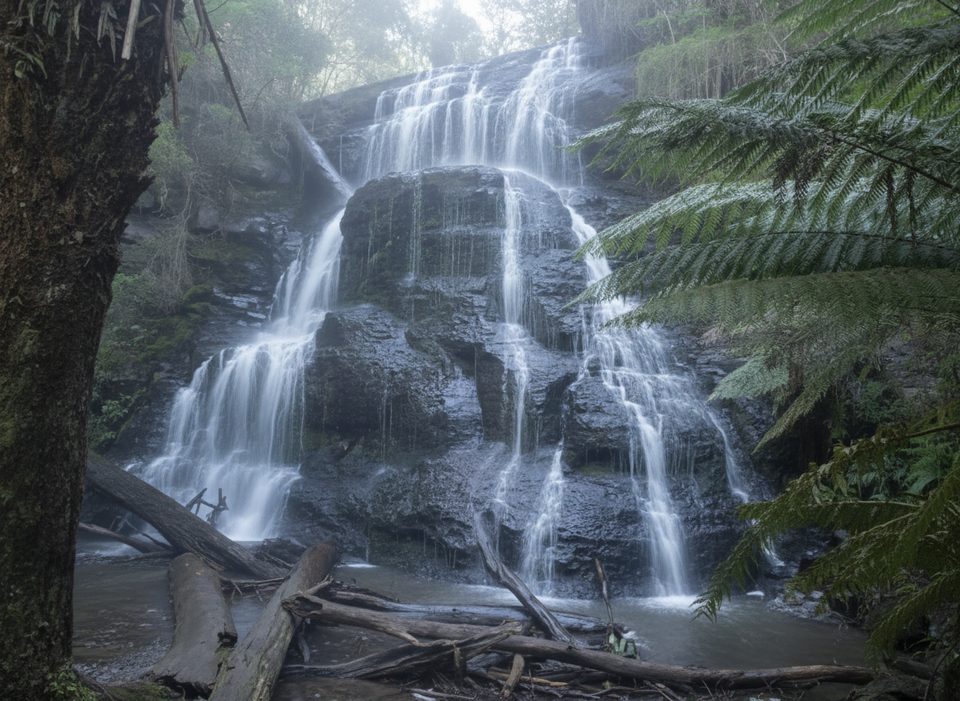
A quieter waterfall walk near Lorne, this fern‑filled track winds through tall eucalypts and mossy gullies to a pretty series of cascades spilling over shale ledges. Expect multiple low drops and lush greens—especially after rain—rather than one big waterfall. The return distance is roughly 4.2–5.45 km (about 2.6–3.4 miles) and usually takes 1.5–2 hours, with about 190 m of climbing overall.
It’s an out‑and‑back from Blanket Leaf Picnic Area. The track is generally well‑formed but hilly: you descend to the water and earn it back on the return. After wet weather, sections turn muddy and slick, and you may encounter fallen branches or rough patches. Most visitors sensibly turn around at the cascades; beyond them the route becomes harder and needs solid navigation.
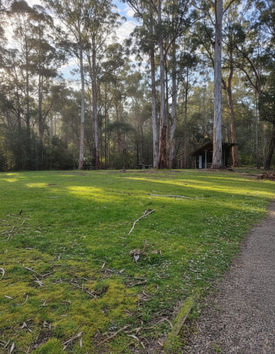
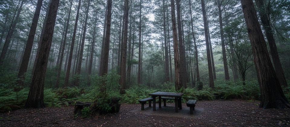
Start at Blanket Leaf Picnic Area on Erskine Falls Road. There’s a car park, picnic tables, and long‑drop toilets. One quirk: phone navigation can try to stop you short—keep driving to the signed picnic area before starting.
Year‑round works, but the cascades look their best after rain and during the wetter months (roughly May–September). Spring and summer bring more light and wildflowers but can mean lower flow. Start early for quiet vibes and easier parking; the soft, filtered light suits photography in the fern gullies.
Watch for echidnas and long‑nosed bandicoots (their diggings can be ankle‑grabbers), plus king parrots around the picnic area. Fungi pop after rain, and the big tree ferns and slick shale shelves make classic Otways scenes.
No dogs, bikes, or vehicles on the walking track. Surfaces can be muddy and slippery; sturdy, grippy boots help. Flash flooding is a listed hazard in this area. As of November 27, 2025, the Cora Lynn Cascades walking track is CLOSED due to damaged infrastructure, which also disrupts through‑walks between Allenvale and Erskine Falls. Check the park manager’s change‑of‑conditions updates before you go. If it’s closed when you visit, good waterfall alternatives include Erskine Falls (lookouts), Triplet Falls, and Hopetoun Falls.
Park at Blanket Leaf Picnic Area off Erskine Falls Road; car park, picnic tables, and long-drop toilets on site. If navigation tries to stop you early, continue to the signed picnic area.
As of November 27, 2025 the walking track is closed due to damaged infrastructure; expect steep, muddy, and slippery sections after rain; flash flooding is possible; beyond the cascades the route is more difficult and requires navigation; watch for trip hazards from wildlife diggings.
Place · 1.1 mi away
Place · 2.1 mi away
Place · 2.2 mi away
Place · 2.3 mi away
Moderate · 1.1 mi away
Easy · 2.7 mi away
Moderate · 2.7 mi away
Easy · 2.7 mi away

Parkwolf Tour Guide
