Parking
Park at Moggs Creek Picnic Ground. From the Great Ocean Road, turn onto Old Coach Road east of Moggs Creek Bridge, follow the Picnic Ground signs, then turn left onto Old Neuk Road and continue along the unsealed access road to its end.
Great Otway National Park, VIC
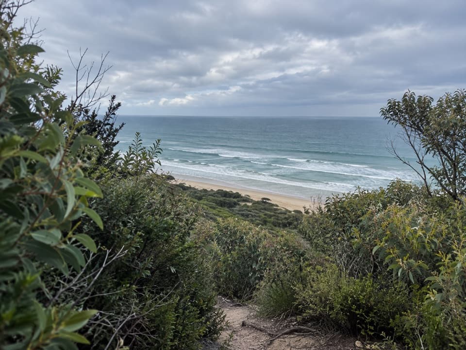
Climb through grass trees for a full sweep of the coast.
Overview
Map & elevation
Plan your hike

The highest, rockiest slopes around here are a summer buffet for grizzly bears.
Great Otway Tour Guide
Parkwolf is a GPS audio tour guide for Great Otway National Park. As you drive, it chimes in with what’s ahead: hidden gems, upcoming stops, history, geology, and wildlife, right through your car’s speakers.
See the Great Otway audio tourRecorded for this trailhead
Moggs Creek: A Picnic in the Forest“You’re coming up on Old Coach Road, the way inland to Moggs Creek Picnic Ground. Choose this stop for lunch in the trees or a short bush walk away from the coastal drive.”
Plays as you drive up to this trailhead in the Parkwolf Great Otway Tour Guide.
More stories near here in the app
“Fantastic app with many points of information… It’s great to just turn on while you’re driving and it gives you an audio tour of the national Park. We love it!!!!”


Trail guide
Moggs Creek Ocean View Walk is a 4.5 km circuit from Moggs Creek Picnic Ground, climbing through dry coastal forest before opening to a broad ocean lookout. Allow about two hours. The track is generally well graded, but there is a fair amount of uphill walking, so expect a proper couple of hours rather than a quick stroll. I’d choose it when you want a forest walk with a real coast-view payoff. This is the longer circuit from the picnic ground; the short lookout walk from Robyn Road is a different outing.
Start at the Ocean View Track sign at the western end of the car park and pass the first branch on your left. The path rises through forest; after about 20 minutes it crosses a management track, and the sea starts showing through the trees. Continue past a striking stand of Austral Grass-trees, then descend toward the wide Moggs Creek Track. Turn left and follow it downhill to the small heathland path for the lookout. Go out to the viewpoint, return along the same heathland path, cross Moggs Creek Track, and take the signed walking track ahead through forest back to the picnic ground. The two forest legs are different, so follow the signs at the crossings rather than turning this into an out-and-back.
The blackened ironbark trunks recall the 1983 bushfires and later fuel-reduction burns. Ironbarks, messmates, peppermints and eucalypts share the canopy, with Austral Grass-trees and a varied low scrub beneath. Large-leaf Bush-pea flowers in spring, and small terrestrial orchids can appear in winter and spring. Eastern Grey Kangaroos are often seen from the track; listen for birds such as the Rufous Bristlebird and White-throated Treecreeper.
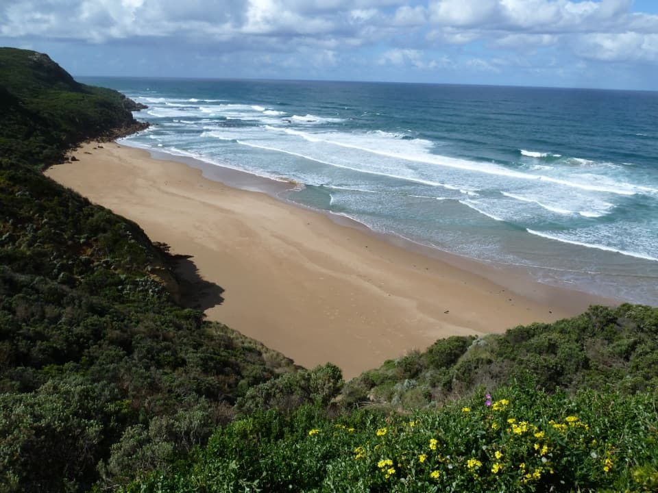
At Ocean View Lookout, the coast opens toward Aireys Inlet to the east and Lorne to the west, with the Great Ocean Road shoreline running between them. Back at the picnic ground there are toilets, tables and wood-fired barbecues; bring your own wood. Dogs are allowed on lead on this route.
Wildlife
 204 sightingsKoalaMost seen around 6 PMSighting map
 35 sightingsGrey KangarooMost seen around 6 AMSighting map
 109 sightingsEchidnaMost seen around 5 PMSighting map
 58 sightingsKookaburraMost seen around 6 AMSighting map
 97 sightingsSwamp WallabyMost seen around 6 PMSighting map
 20 sightingsBrushtail PossumMost seen around 8 PMSighting map
Sighting maps show where each species has been reported across Great Otway. Wildlife moves, so no sighting is guaranteed.
Keep exploring
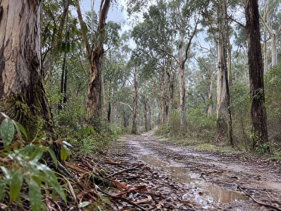 ModerateMoggs Creek – Coalmine Creek Walk8.5 km · 3 hr · At the trailheadA one-way forest walk from Moggs Creek to the Great Ocean Road.
 EasyMoggs Creek Circuit Walk1.9 km · 42 min · At the trailheadA short ferny creek loop with four bridges and a gully view.
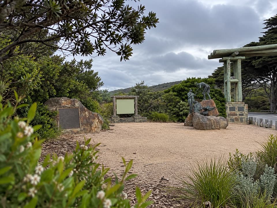 ModerateAireys Eastern View Circuit14.7 km · 4.5 hr · 2 km awayA hilly Memorial Arch loop through forest to the coast.
 ModerateDistillery Creek to Moggs Creek Walk7.5 km · 2.5 hr · 3.4 km awayClimb above Painkalac Dam on a forest crossing to Moggs Creek.
 EasyDistillery Creek to Painkalac Dam6 km · 1.5 hr · 3.4 km awayAn easy forest walk to the quiet edge of Painkalac Reservoir.
 EasyDistillery Creek Ephemeral Wetlands0.3 km · 15 min · 3.4 km awayA 300 m return to a wetland that comes and goes.
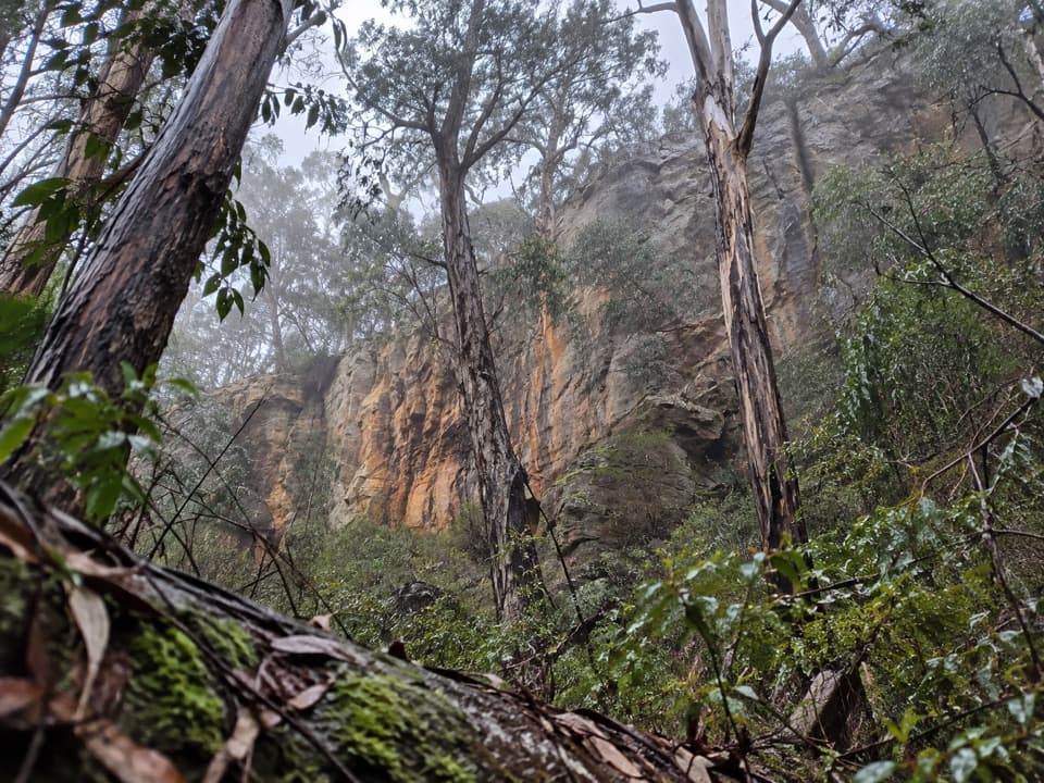 ModerateIronbark Gorge Circuit Walk4.5 km · 1.5 hr · 3.4 km awayA creekside loop of ironbark, ferns and rocky gorge walls.
 ModerateCurrawong Falls Circuit Walk10.9 km · 3.5 hr · 3.4 km awaySplit Point views, a fern gully, and falls that can run dry.
 Picnic area · At the trailheadMoggs Creek Picnic AreaA quiet bush picnic with a worthwhile coastal lookout walk.
 Sight · 1.2 km awayOcean View Lookout, Moggs CreekA wide coast view with a lighthouse, beach and road below.
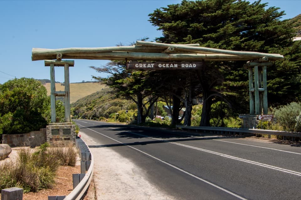 Sight · 2 km awayMemorial Arch at Eastern ViewA quick roadside photo with a memorial behind the famous arch.
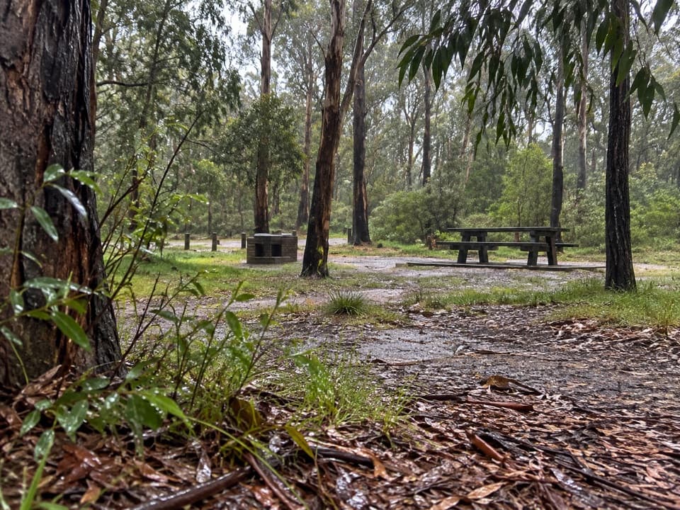 Picnic area · 3.4 km awayDistillery Creek Picnic AreaA picnic base for ironbark walks and the longer falls circuit.
 Sight · 4.7 km awayCurrawong FallsA long fern-gully circuit with a rain-fed waterfall.
 Beach · 5.2 km awaySunnymead BeachA quiet cove of reefs and rock pools, reached by steep steps.
 Beach · 6.6 km awayUrquhart BluffLong beach, bluffside surf and rockpools revealed at low tide.
 Campground · 7.4 km awayHammond Road CampgroundA quiet bush campground with drive-up and tent-only sites.
Parkwolf’s Great Otway ranking

The audio tour guide for the drive, plus offline maps, trails, and wildlife heatmaps for when the signal drops.