Currawong Falls

A varied coastal bush loop to a fickle, often-dry cascade
Currawong Falls, Great Otway National Park
InsideGreat Otway National Park

Overview

Come for the walk, not the waterfall. Currawong Falls is the turn‑around point on a scenic shared loop near Aireys Inlet. The circuit (about 10–11.5 km, 3–4 hours) threads dry heathy woodland, ferny creek lines and a melaleuca swamp, with the falls themselves usually just a seep down rock. When it’s been wet, the cascade shows; when it hasn’t, the varied bush and views do the heavy lifting.

What You’ll See

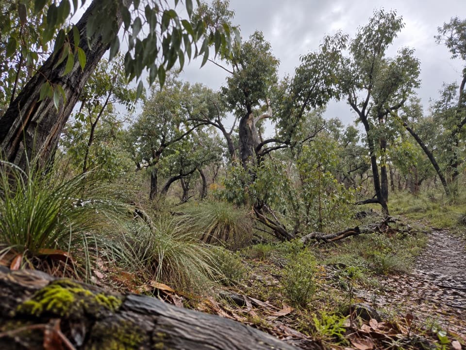
  • Ironbark forest giving way to heath and tree ferns, then open swamp country.
  • Ancient grass trees and carpets of spring wildflowers after planned burns or past fires.
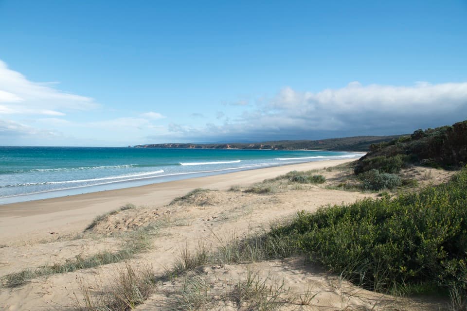
  • Snatches of coastline and views toward Split Point Lighthouse from higher sections.

Wildlife

Koalas and swamp wallabies turn up regularly. Keep an eye on the ground too: short‑beaked echidnas and long‑nosed bandicoots leave small diggings that can be easy to trip in, especially in low light.

Trail Basics

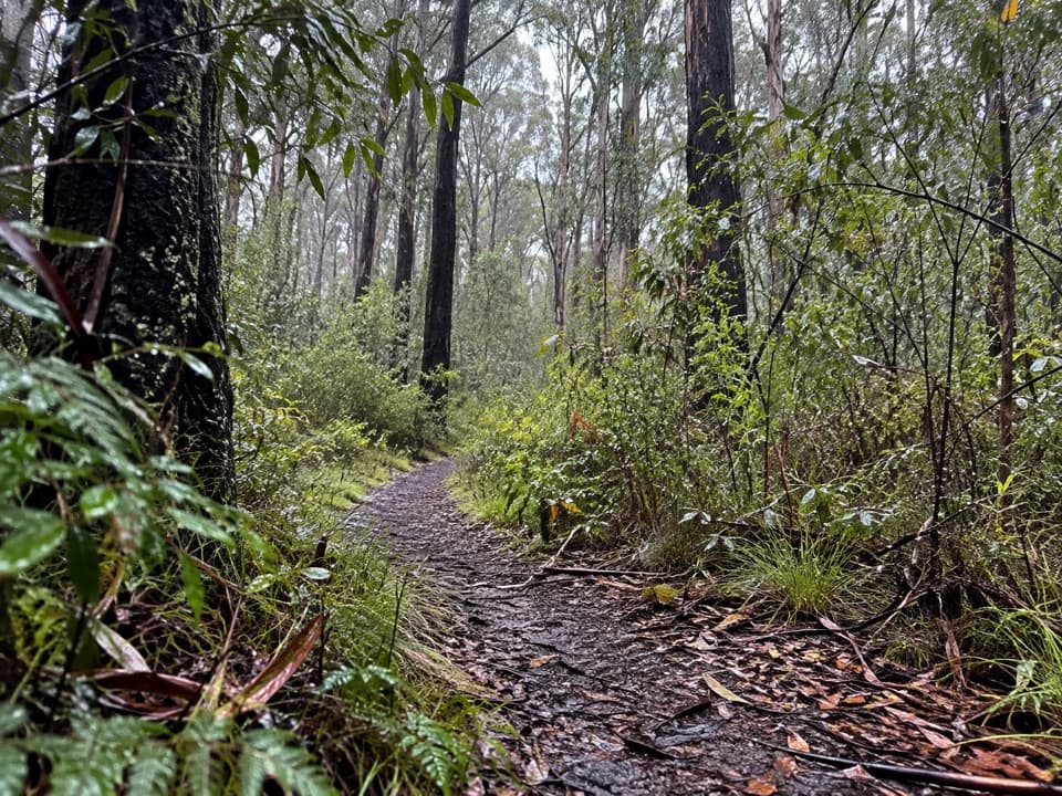
This is a shared walking/mountain‑bike track. Most walkers start at Distillery Creek Picnic Area and follow the signed loop; cyclists are advised to ride it clockwise. Expect mostly gentle gradients with a few rocky, narrow or short steep stretches. Wayfinding is generally straightforward but can be confusing at road crossings—carry a map or GPX.

Getting There & Amenities

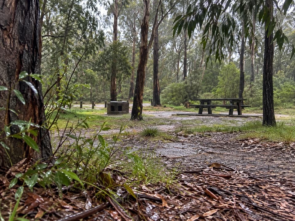
Begin at Distillery Creek Picnic Area (minutes from Aireys Inlet for food and supplies). There are two car parks, toilets, picnic tables and wood‑fire BBQs at the picnic area. There are no facilities at the falls.

Best Time to Visit

  • After decent rain if you’re chasing water over the falls.
  • Spring for peak wildflowers.
  • Go in daylight—low‑light makes those wildlife diggings hard to spot. The area is open at all hours, but this is a bush track, not a lit promenade.

Safety & Etiquette

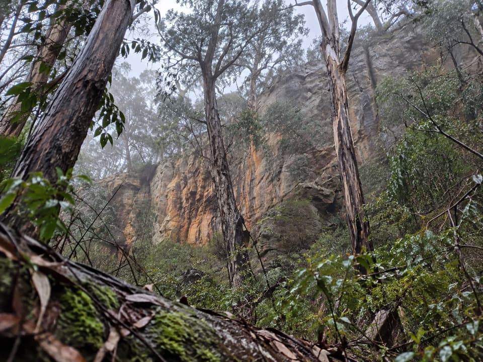
It’s a natural trail with occasional unstable cliff terrain nearby—stick to formed tracks. Watch for bikes on blind bends, and leave the dog at home (no pets). Smoke from bushfires or planned burns can occur; conditions and temporary closures change, so check Parks Victoria before you go.

Bottom Line

Underrated as a waterfall, underrated as a walk only if you skip it. Do the loop after rain or in wildflower season and you’ll get classic Otways variety without the crowds.

Pros

  • Varied loop through ironbark forest, ferny gullies and melaleuca swamp
  • Spring wildflowers and ancient grass trees with occasional coastal views
  • Easy logistics from Distillery Creek Picnic Area with parking, toilets and tables

Cons

  • Waterfall often a trickle unless it’s been raining
  • Shared with mountain bikes and some sections are rocky with patchy signage

Tips

  • Start at Distillery Creek Picnic Area; there are toilets, tables and parking.
  • Walkers go either way, but expect bikes clockwise and listen on blind bends.
  • Visit after heavy rain if seeing water over the falls matters to you.
  • Carry a map or GPX—signage can be confusing at road and track junctions.
  • Wear sturdy footwear and watch for echidna/bandicoot diggings that create trip hazards.
The Parkwolf tour guide sitting on a phone mounted in a car

Parkwolf Tour Guide

Like a tour guide in your car.

Save the places you found around Great Otway, then let Parkwolf guide the drive between them.Download Parkwolf on the App Store