Pros & cons
PROS
- Signature view toward Mount Le Conte from an easy roadside pull-off
- Interpretive sign highlights distinct Smokies forest communities
CONS
- Small, often-full parking; quick turnover but you may need to wait
- No restrooms or services on site
Overview
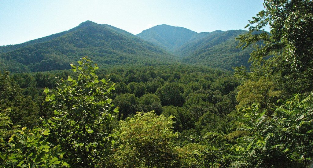
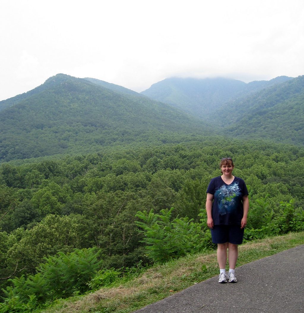
A quick, worthwhile stop on Newfound Gap Road, this first named overlook south of Sugarlands Visitor Center frames Mount Le Conte and the classic, layered ridges the Smokies are known for. It’s a true roadside pull-off meant for a few minutes of soaking in the view, snapping photos, and moving on.
What You’ll See
- A clean, unobstructed panorama toward Mount Le Conte and rolling valleys below.
- A textbook cross‑section of Smokies forests—spruce‑fir up high, northern hardwoods, cove hardwoods, pine‑oak, and even heath balds—called out on an interpretive sign.
- NPS notes this slope includes a dense thicket of pines that regenerated after the 2016 wildfire, visible from the overlook when you know where to look.
Is It Worth the Stop?
Yes—especially as a “warm‑up” view early in the drive. Many travelers love it as an easy first photo op; if you’re chasing the park’s grandest vistas, continue higher toward other overlooks on Newfound Gap Road and treat this as a quick sampler.
Logistics
- Location: About 2–2.5 miles south of Sugarlands Visitor Center on US‑441; it’s the first overlook you’ll reach heading toward Newfound Gap.
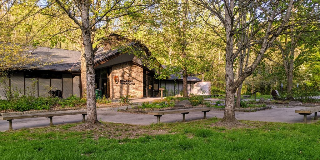
- Parking: Two small pull-off areas; spaces turn over quickly but fill at peak times. No restrooms—use Sugarlands Visitor Center beforehand.
- Fees: While the overlook itself is free, the park now requires a parking tag.
- Safety: Use caution pulling in and out; stay behind guardrails. If you encounter wildlife, watch from a distance and never feed animals.
Photography Tips
Arrive around sunrise or late afternoon for soft, directional light and easier parking. Bring a wide lens for the full Le Conte panorama and a longer lens to compress those blue ridgelines. Clear, post‑frontal days reward you with the longest views.
Getting There Without a Car
Public transit reaches the park entrance via the Gatlinburg trolley (Pink route). From the entrance it’s roughly a 1.5‑mile walk along the road to the overlook—only attempt if you’re comfortable with roadside walking.
Background
Named for Carlos C. Campbell, a Knoxville civic leader who championed creating the national park, the overlook pairs a big view with a quick lesson in Smokies ecology via its interpretive sign.
Best Time to Visit
- Time of day: Sunrise and late afternoon for light and fewer people.
- Season: Autumn is the showstopper thanks to multi‑layered fall color. Clear winter or early‑spring days can offer especially crisp views.
Where it is
35.6583, -83.5200Tips for Carlos C. Campbell Overlook
- 01Go at sunrise or late afternoon for softer light and easier parking.
- 02Use Sugarlands Visitor Center for restrooms and water before you drive up.
- 03Bring a wide lens and a longer lens to capture both panorama and ridgelines.
- 04Use caution pulling in and out; traffic on US‑441 moves fast.
- 05If taking the Gatlinburg trolley, expect about a 1.5‑mile roadside walk from the park entrance.
Amenities
Near Carlos C. Campbell Overlook
All places →All trails →
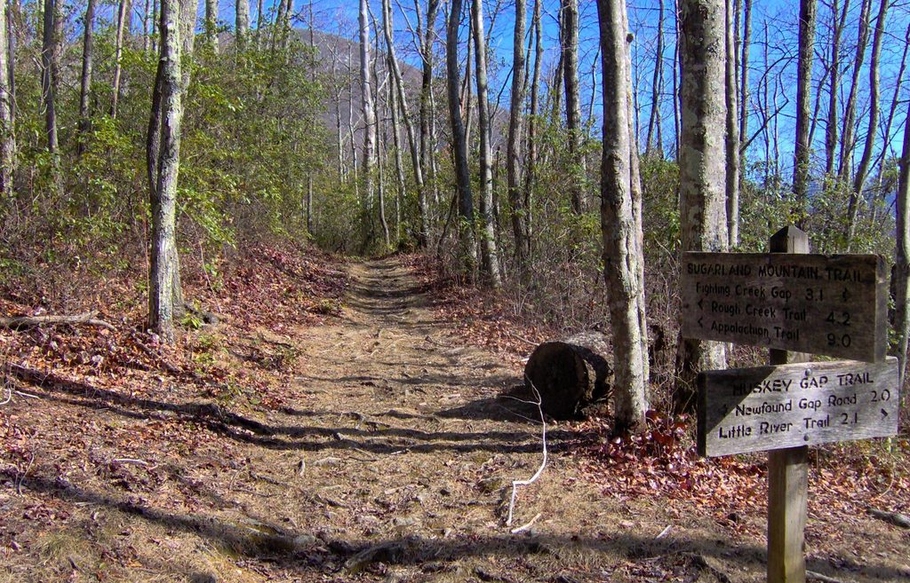
0.5 mi awayHuskey Gap TrailSteady climb to a historic gap with peak spring wildflowersModerate · 4.2 mi · 2 hr
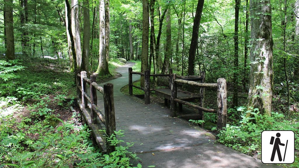
1.6 mi awaySugarlands Valley Nature TrailPaved half-mile loop with riverside views and Smokies historyEasy · 0.5 mi · 15 min
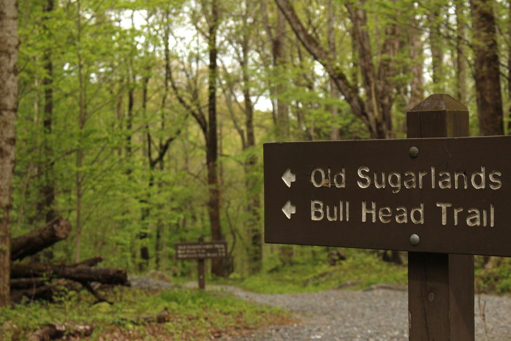
1.8 mi awayBullhead TrailSteep, view-packed climb to Mount Le Conte with wildfire vistasChallenging · 13.6 mi · 7.5 hr
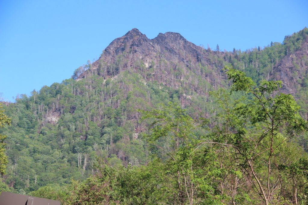
2.1 mi awayChimney Tops OverlookKnife‑edge pinnacles and LeConte views via a steep stair climbTrailhead · Parking
2.1 mi awaySugarlands Visitor CenterGateway hub with exhibits, a park film, and easy trailsVisitor Center · Restroom
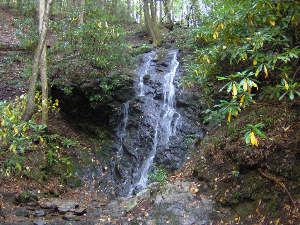
2.1 mi awayCataract Falls TrailEasy creekside stroll to a pretty 25 foot waterfall near GatlinburgEasy · 0.7 mi · 30 min
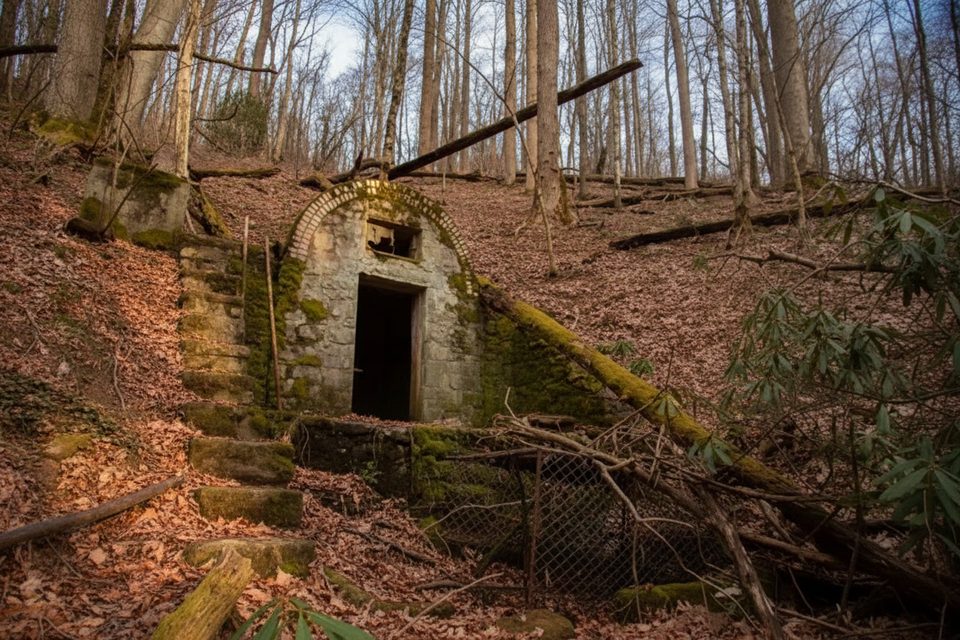
2.2 mi awayFairy HouseMossy stone springhouse hidden off Twin Creeks Trail
2.2 mi awayBull HeadQuiet, view‑heavy climb to Le Conte via fire‑scarred ridgesTrailhead · Parking