Pros & cons
PROS
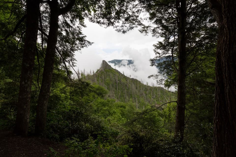
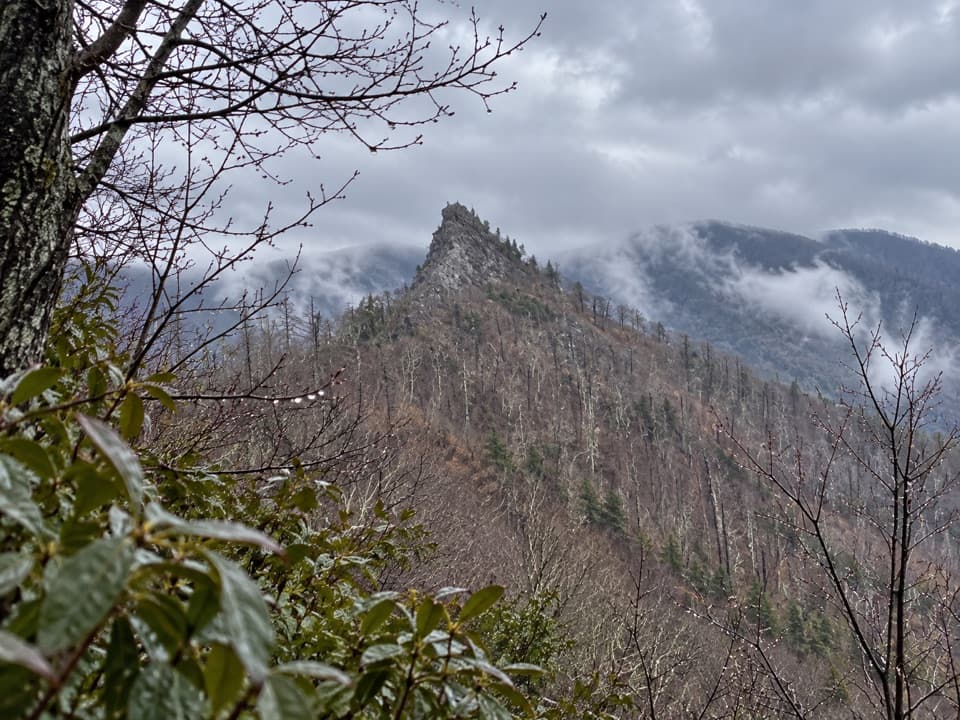
- Big, close‑up views of the Chimneys and Mt. LeConte from a rebuilt overlook
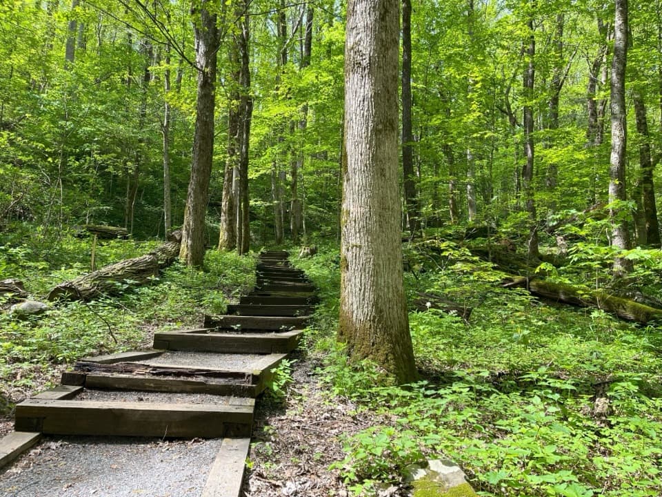
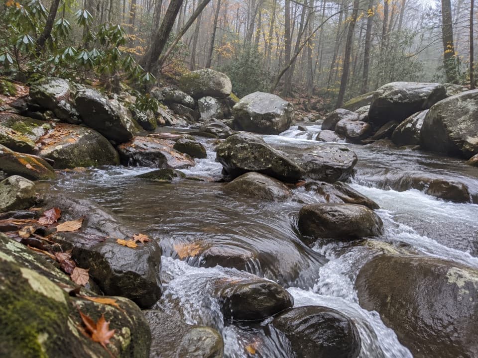
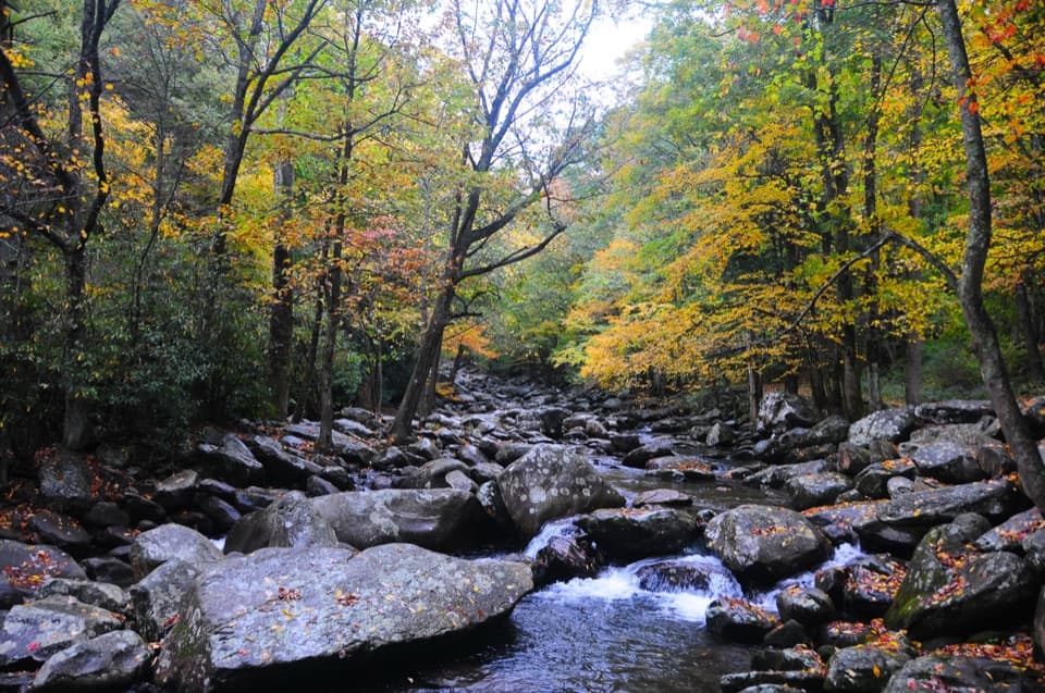
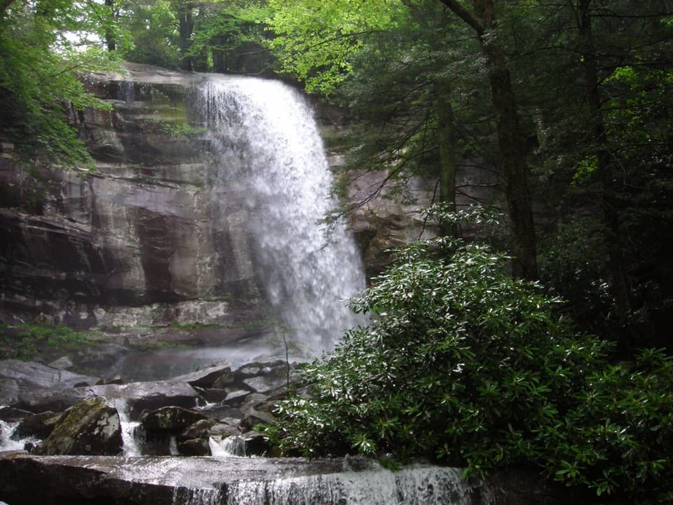
- Short‑but‑steep classic with stone stairs, sturdy bridges, and creek cascades
CONS
- Parking fills quickly and there are no restrooms or water at the trailhead
- Final scramble to the rock pinnacles remains closed due to 2016 wildfire
- Steep, stair‑heavy climb can be punishing on the descent
Overview
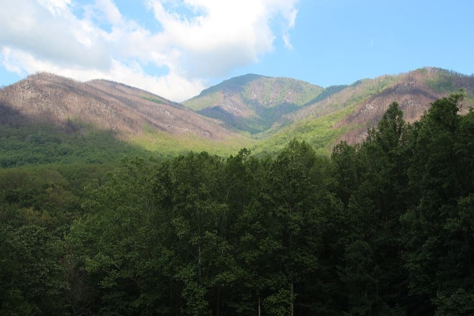
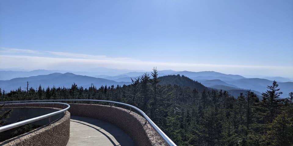
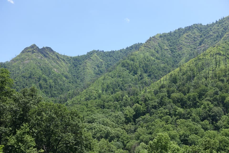
Chimney Tops Overlook delivers one of the Smokies’ most dramatic viewpoints: a knife‑edged pair of bare‑rock pinnacles framed by sweeping ridgelines and Mt. LeConte. The hike is short but stout—expect many stone and log steps and a relentless grade that pays off with a front‑row look at the Chimneys from a purpose‑built observation area.
Trail snapshot
- Distance/gain: about 4 miles round trip with roughly 1,700 feet of elevation gain from the Chimney Tops Trailhead on Newfound Gap Road.
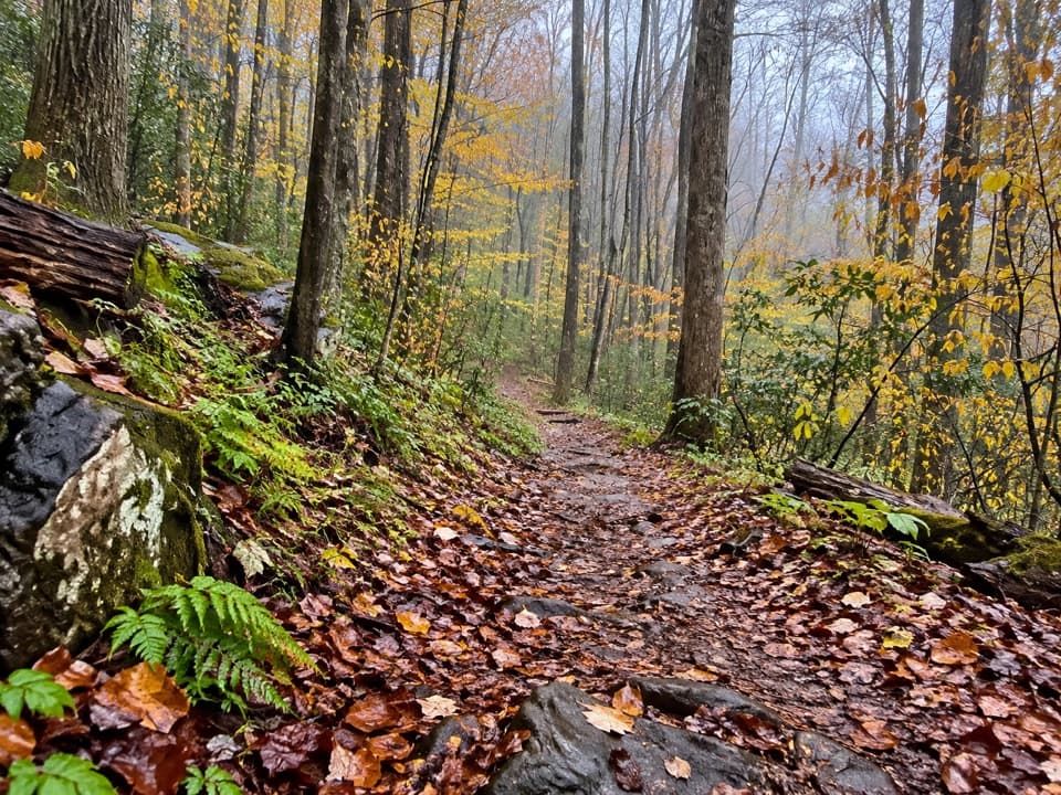
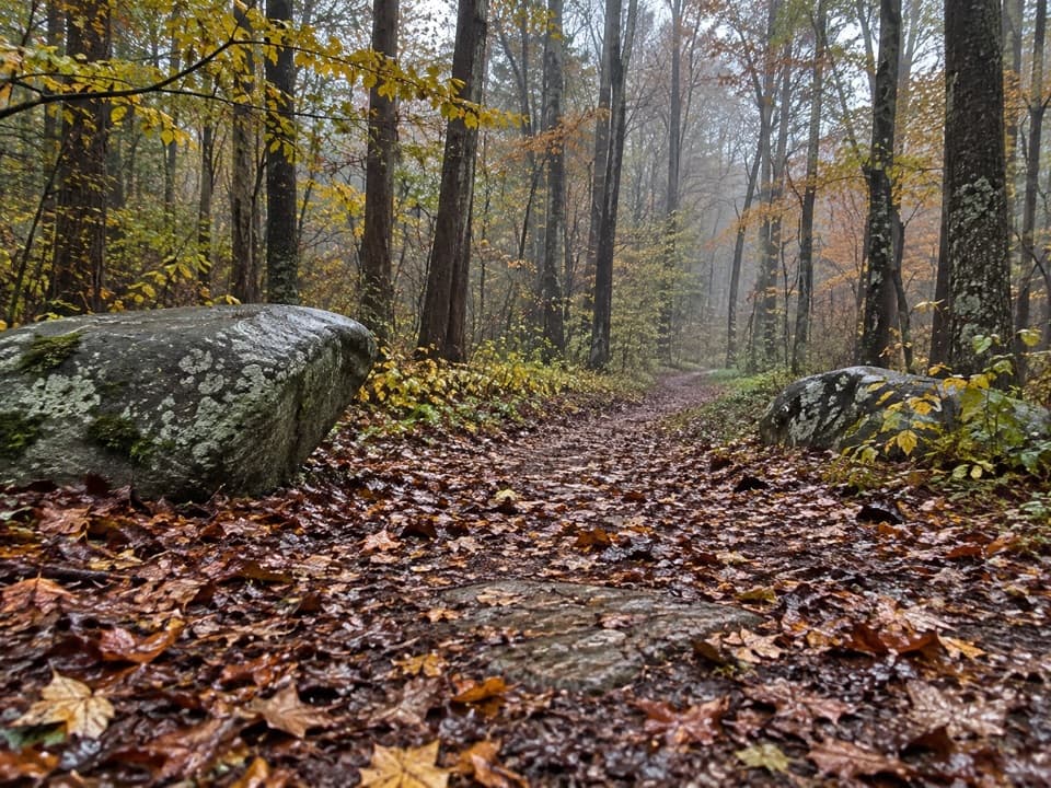
- Terrain: Sustained steep grades, long stair sections, and several sturdy footbridges. Rocks and steps can be slick after rain or in winter conditions.
- Closure note: The old summit scramble is closed; the final 0.25 mi remains off‑limits after the 2016 wildfire. The observation area is the legal high point—obey closure signs.
What you’ll see
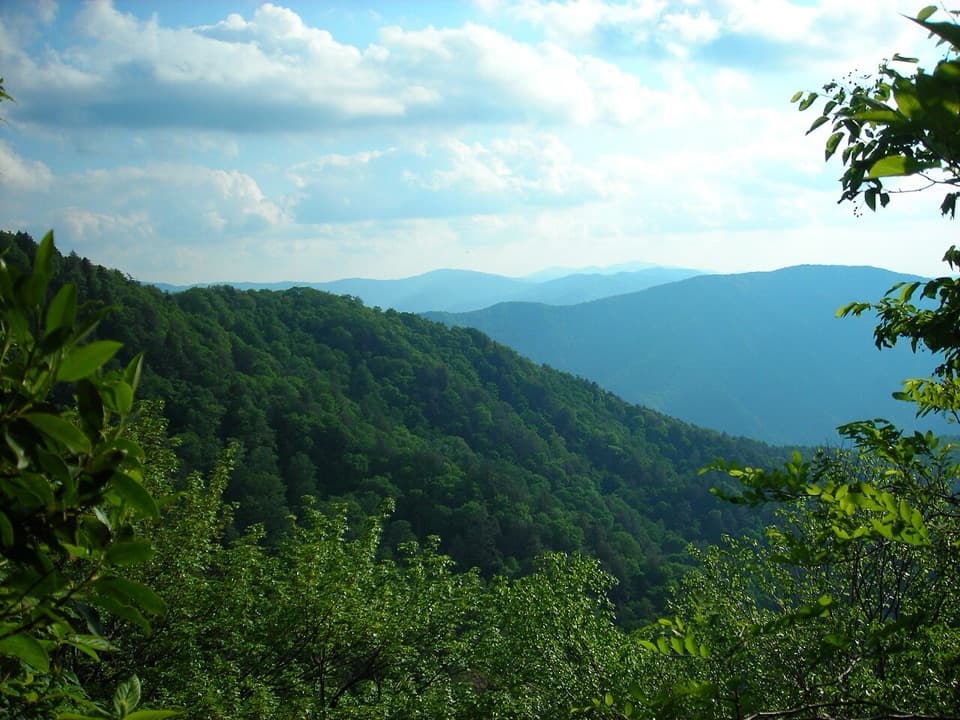
- Close‑up views of the razorback “backbone” of Chimney Tops—one of the park’s rare bare‑rock summits—plus long looks to Mt. LeConte.
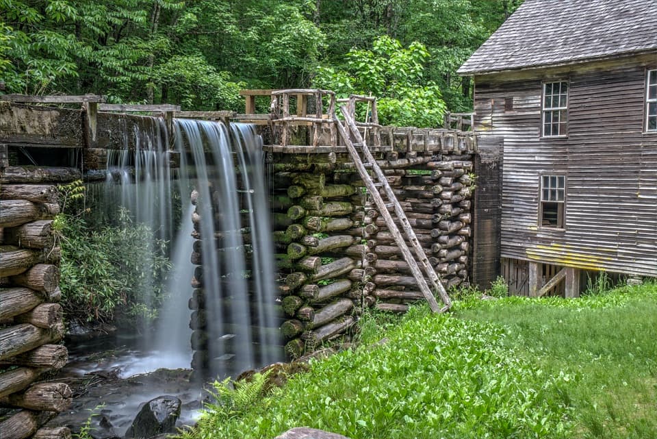
- Cascading creek scenery early on, with refreshing glimpses and sounds of rushing water before the climb really bites.
Logistics and what to know
- Getting there: Trailhead parking is on Newfound Gap Road (US 441), roughly 7 miles from Sugarlands Visitor Center.
- Amenities: No restrooms, water, or trash cans at the trailhead—pack in everything, pack out all trash.
- Rules: No pets on this trail. Stay off the closed pinnacles area.
- Parking: Spaces are limited and go fast; a valid park parking tag is required. The park encourages using a shuttle when possible.
Best time to visit
- For lighter crowds and easier parking, arrive very early (sunrise to mid‑morning) or late afternoon. Summer weekends and late mornings can be slammed, and on busy weekdays parking can fill by around 8 am.
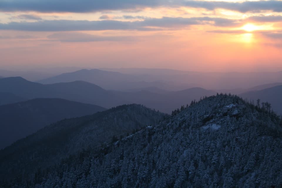
- Photographers: Dawn brings soft side‑light on the pinnacles; late‑day light can be excellent, too. If you’re aiming for golden hour, bring a headlamp for the descent.
- Weekday mornings tend to be calmer than midday; Tuesday–Wednesday late morning to early afternoon is often the peak of the rush.
Safety and tips
- This is a real workout—pace yourself, take breaks, and bring plenty of water and salty snacks.
- Trekking poles help on the endless steps, especially on the way down.
- Expect spotty to no cell service.
History & geology
The 2016 Chimney Tops 2 wildfire reshaped the area, prompting the permanent closure of the precarious summit scramble and the construction of today’s observation area. Geologically, the Chimneys’ sharp backbone is carved from resistant metasandstone/quartzite—harder rock that weathers into steep, rugged forms while surrounding layers erode more quickly.
Wildlife
Black bears live throughout the park. Keep a clean pack (no food scraps left behind), maintain distance if you see wildlife, and never feed animals.
Where it is
35.6385, -83.4919Tips for Chimney Tops Overlook
- 01Arrive before 8 am or after 3 pm for a better shot at parking.
- 02There are no restrooms or water at the trailhead—plan stops before you go.
- 03Bring trekking poles; the stair‑heavy descent is tough on knees.
- 04Carry plenty of water and a snack; the grade is relentless.
- 05Display a valid park parking tag or expect a citation.
Amenities
Near Chimney Tops Overlook
All places →All trails →
0.1 mi awayCove Hardwood Nature TrailShort, flower-rich loop through classic Smokies cove forest.Easy · 0.9 mi · 45 min
0.3 mi awayChimneys Picnic AreaShady riverside picnic spot with grills and boulder-hopping funPicnic Table · Restroom
0.9 mi awayChimney TopsShort, steep climb to sweeping views of the SmokiesTrailhead · Parking
1.3 mi awayChimney Tops TrailShort, steep stair master to a big-view overlook—worth the burn.Challenging · 3.5 mi · 2.5 hr
1.5 mi awayBull HeadQuiet, view‑heavy climb to Le Conte via fire‑scarred ridgesTrailhead · Parking
2.1 mi awayCarlos C. Campbell OverlookQuick roadside view framing Mount Le Conte and layered ridgesPullout · Parking
2.4 mi awayAlum Cave TrailStreamside climb to Arch Rock, big views, and a towering bluffModerate · 4.6 mi · 3 hr
2.4 mi awayBullhead TrailSteep, view-packed climb to Mount Le Conte with wildfire vistasChallenging · 13.6 mi · 7.5 hr