
Place · 0.6 mi away
Challenging
Bullhead is the quiet, tough way up Mount Le Conte—steep, sustained, and rewarded with frequent long-range views thanks to the 2016 fire that opened the canopy. The full push to Le Conte is about 13.6 miles round trip (out-and-back) with roughly 3,500–3,800 feet of climbing. Expect a big day: most hikers need 6.5–9 hours.
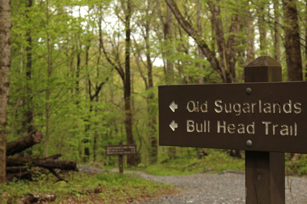
Park at the Rainbow Falls/Bullhead parking on Cherokee Orchard Road. From the lot, you’ll start on the gravel Old Sugarlands Trail for about 0.4 miles, then turn onto Bullhead. Within the first mile or so the grade kicks up as you climb the Bullhead itself—a heath-covered bald around 4,300 feet. Along the way you’ll pass rocky cliff bands and a couple of small overhang “caves.” Around three miles in, stop at the Civilian Conservation Corps stone structure nicknamed The Pulpit—now an excellent vista thanks to the opened forest. Views come and go toward Gatlinburg, English Mountain, and Sugarland Mountain as you gain the high ground toward Le Conte Lodge near the top.
This route crosses extensive burn scar. That means more sun and heat in summer, plus standing dead trees—avoid it on windy days. Footing can be rocky and punishing on the descent; trekking poles help. In cold weather, ice is common—pack microspikes when temperatures drop.
Bullhead is one of five routes to Le Conte and pairs well with Rainbow Falls or Trillium Gap for a loop. Many hikers go up one and down the other for variety and different scenery; total mileage generally lands in the 13–15+ mile range depending on your combination. Water is available at Le Conte Lodge near the summit, so you can carry a bit less up if you plan to refill there.
Shoot for cooler months or early starts in summer to beat heat and sun exposure. Skip windy days due to hazard trees in the burn. Winter can be beautiful but icy—microspikes turn a sketchy day into a solid one. Start early any time of year for a quieter experience and better light on the viewpoints.
Parking is limited and this area gets crowded; arrive early or consider a shuttle. You’ll start from the Rainbow Falls/Bullhead trailhead area and follow Old Sugarlands 0.4 miles to Bullhead. A current parking tag may be required. The park is rehabilitating Bullhead: through November 6, 2025, the trail is generally closed Monday–Thursday (federal holidays excepted) and open Friday–Sunday, with work expected to resume again in May 2026—plan accordingly and check for updates before you go.
Park at the Rainbow Falls/Bullhead trailhead on Cherokee Orchard Road. Walk the gravel Old Sugarlands Trail 0.4 miles to the signed Bullhead junction. Lot fills early; shuttles operate in the area and a parking tag may be required.
Post-fire hazard trees; avoid on windy days. Limited shade makes summer hot. Icy conditions are common in cold weather—carry microspikes. Ongoing trail rehab brings Mon–Thu closures through Nov 6, 2025 (open Fri–Sun).
Place · 0.6 mi away

Place · 0.7 mi away
Place · 0.7 mi away
Place · 0.7 mi away
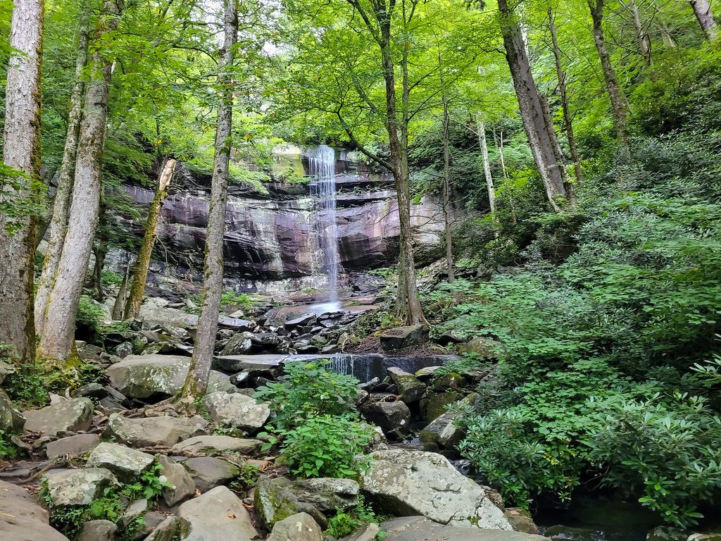
Moderate · 0.6 mi away
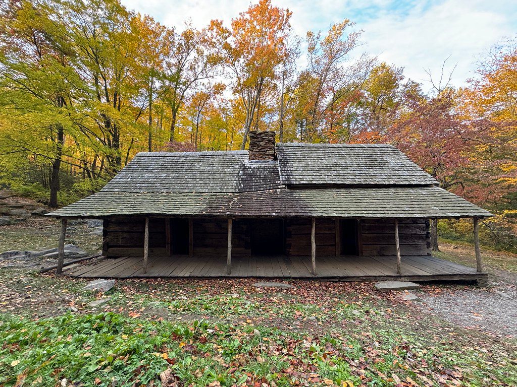
Easy · 0.7 mi away
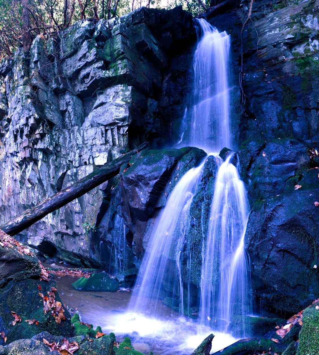
Moderate · 1.2 mi away
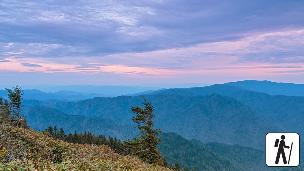
Challenging · 1.8 mi away

Parkwolf Tour Guide
